The best walks and hikes around Gaifar
3.8
(12)
42
hikers
3
hikes
Hiking around Gaifar offers routes through varied terrain, characterized by green areas and water features. The region presents a landscape with moderate elevation changes, suitable for exploring on foot. These trails navigate through areas that may include historical elements like old mills and bridges, providing a mix of natural and cultural points of interest.
Best hiking trails around Gaifar
- The most popular hiking route is Fonte Verde – Detour halfway to Facho loop from Oliveira, a 6.7 miles (10.8…
Last updated: July 4, 2026
4.6
(5)
16
hikers
10.8km
03:14
340m
350m
Moderate hike. Good fitness required. Easily-accessible paths. Suitable for all skill levels.
3.0
(1)
7
hikers
9.82km
02:52
260m
250m
Moderate hike. Good fitness required. Easily-accessible paths. Suitable for all skill levels.

Sign up for free
3.0
(1)
3
hikers
6.13km
01:54
230m
230m
Easy hike. Great for any fitness level. Easily-accessible paths. Suitable for all skill levels.
Our route recommendations are based on thousands of hikes, rides, and runs completed by other people on komoot.
Start today with a free account
Your next adventure awaits.
Login or Signup
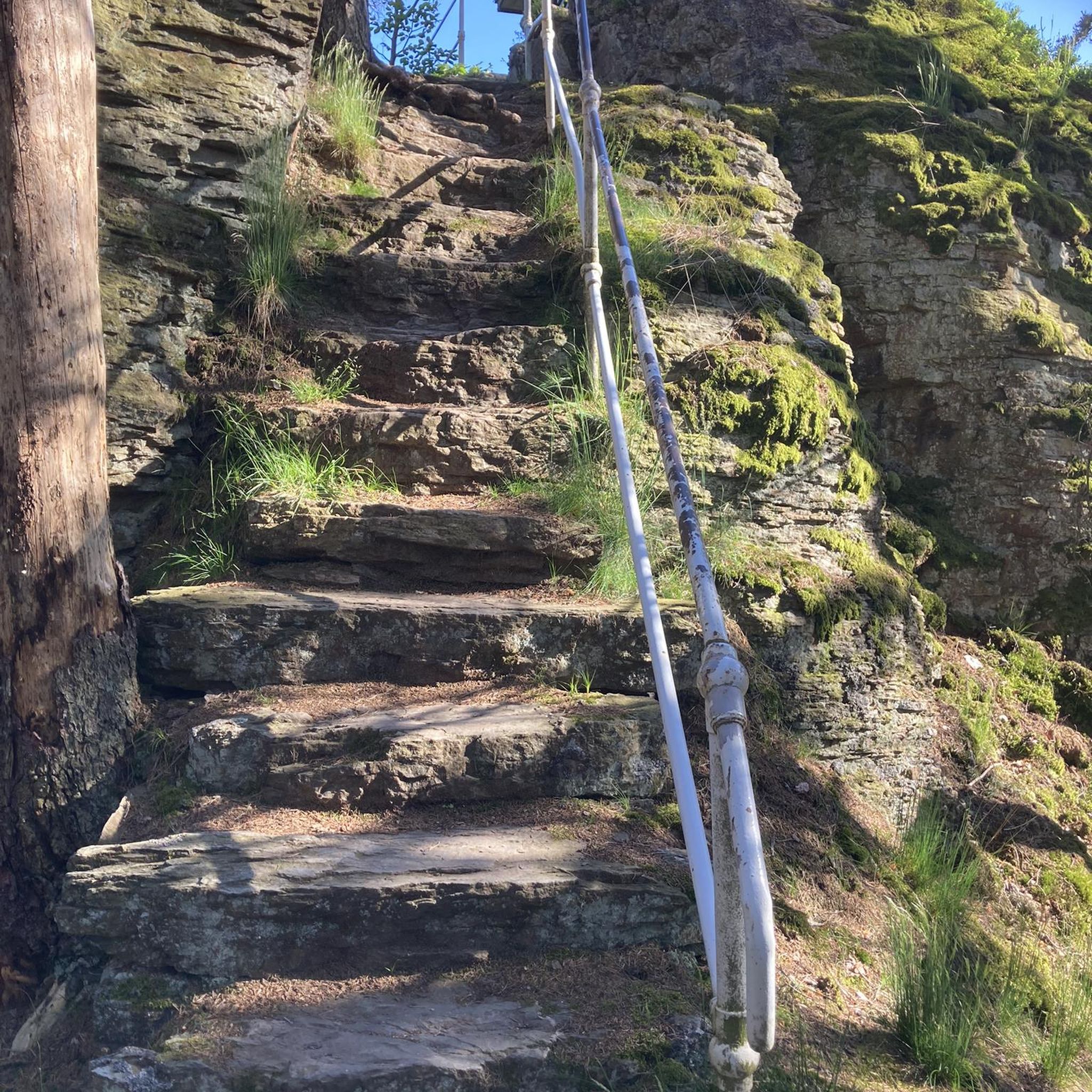
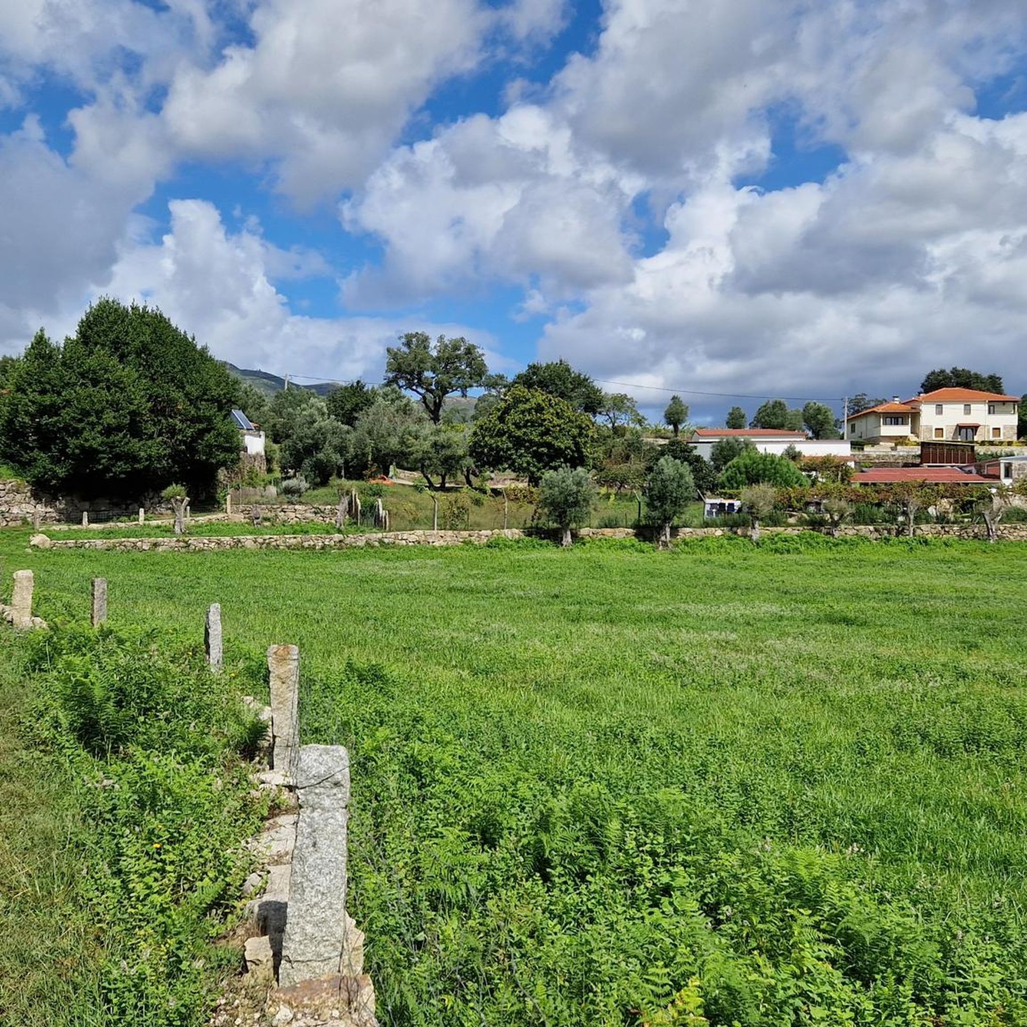
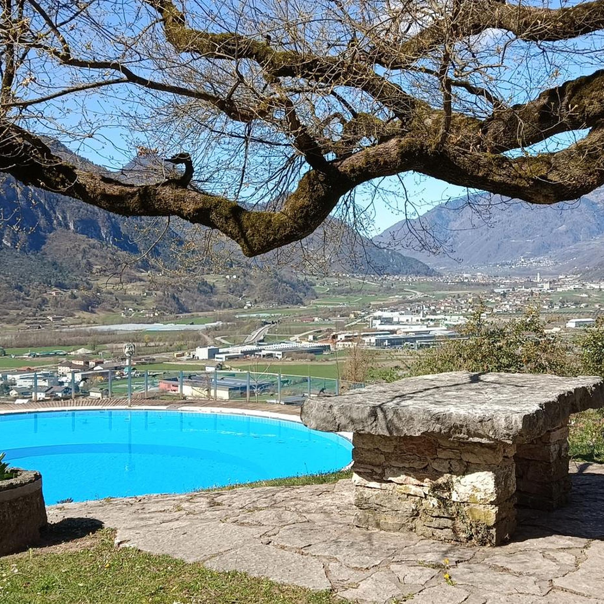
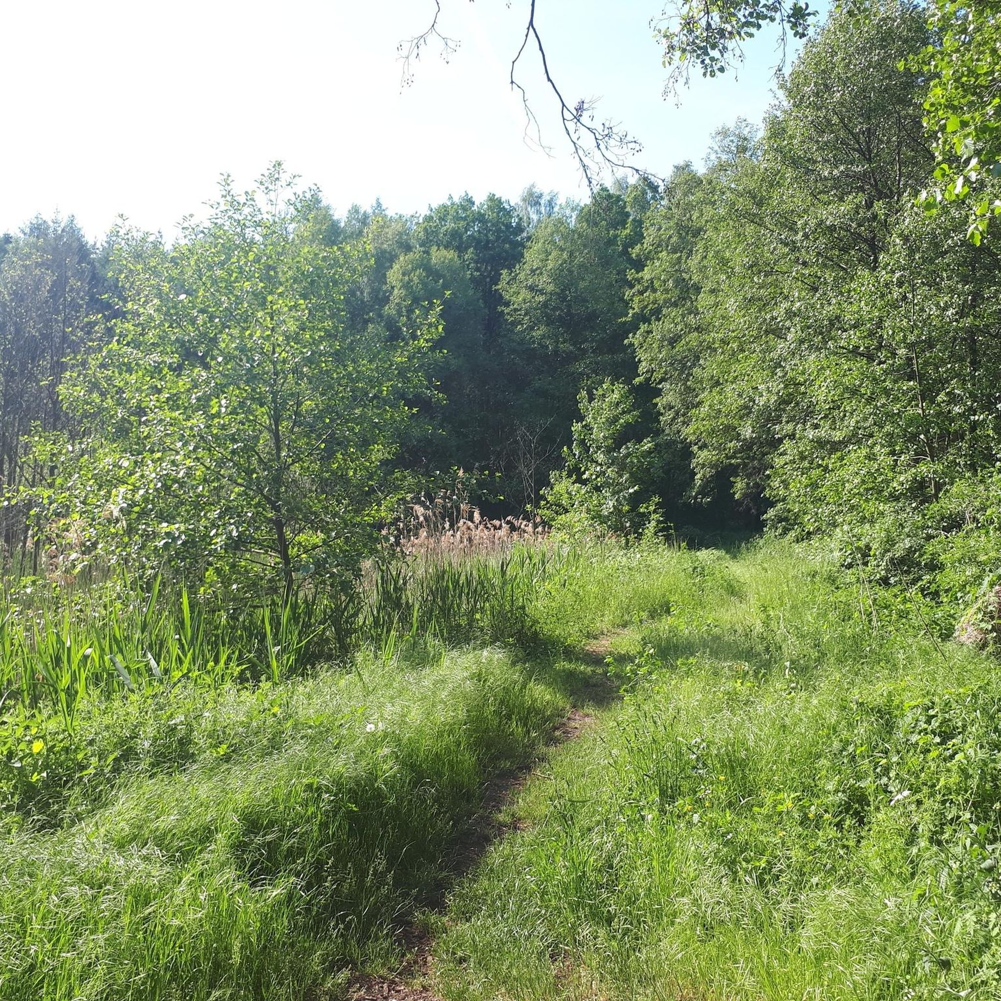
Tips from the Community

The Ponte das Tábuas de Balugães (Bridge of the Tábuas of Balugães) is a discreet jewel on the Portuguese Way to Santiago. It spans the serene Neiva River with an elegant trestle arch and boasts a wealth of history: it was mentioned in documents dating back to 1135, likely still made of wood, as the name suggests. The current stone structure is believed to have emerged around the 16th century. Nearby, a small river beach welcomes locals and travelers from around the world, all with the same goal: to dive in, cool off, and let themselves be carried away by the calm rhythm of the Neiva River's waters.
2
0

An interesting climb with several alternative paths, dirt or paved.
0
0

Ancient Roman road 14 AD
2
0


A real city for pilgrims, colourful, interesting and lively. The heraldic animal, the rooster, can be seen on all corners.
2
1

A beautiful example of a Camino pilgrimage route
3
0
Frequently Asked Questions
How many hiking trails are available in Gaifar?
There are currently 3 hiking trails documented around Gaifar on komoot, offering a range of experiences from easy strolls to more moderate challenges.
Are there any easy hiking trails in Gaifar suitable for beginners or families?
Yes, for an easier option, consider the Hiking loop from Lama. This 3.8-mile (6.1 km) trail is generally completed in under two hours and features a moderate elevation gain, making it a good choice for those looking for a less strenuous walk.
What kind of scenery can I expect on hikes around Gaifar?
Hikes around Gaifar are characterized by lush green landscapes, prominent water features like ponds and rivers, and varied terrain with moderate elevation changes. You'll also encounter historical elements such as old mills and bridges, adding a cultural dimension to the natural beauty.
Are there any circular walks in Gaifar?
Yes, all the documented routes around Gaifar are circular. For example, the Old Mill with Pond – Ponte das Tábuas de Balugães loop from Balugães offers a scenic round trip, allowing you to start and end at the same point.
What historical or cultural sights can I see while hiking in Gaifar?
The region is rich in historical elements. Along the trails, you might encounter sights like the historic Ponte das Tábuas de Balugães, old mills, and various religious landmarks such as the Santa Cruz Chapel, a Pilgrim Altar, and the Azulejo Shrine of Saint James the Greater, reflecting the area's connection to pilgrimage routes.
What do other hikers enjoy most about hiking in Gaifar?
The komoot community rates the trails in Gaifar highly, with an average score of 3.8 stars from 12 reviews. Hikers often praise the region's green landscapes, the presence of water features, and the well-balanced mix of natural beauty and historical points of interest.
Are there any challenging hikes in Gaifar for experienced hikers?
While there are no routes classified as 'difficult' in Gaifar, the region offers moderate trails that provide a good workout. The Fonte Verde – Detour halfway to Facho loop from Oliveira, for instance, is a 6.7-mile (10.8 km) route with over 1,100 feet (340 meters) of elevation gain, offering a satisfying challenge.
When is the best time of year to go hiking in Gaifar?
Gaifar's green landscapes and water features are enjoyable throughout much of the year. Spring and autumn generally offer pleasant temperatures and vibrant scenery, ideal for hiking. Even in winter, the trails can be accessible, though some paths might be damp.
Are there opportunities for wildlife spotting on the trails?
Given the region's green areas and water features, hikers may encounter various local wildlife. Keep an eye out for birds near the ponds and rivers, and small mammals in the wooded sections, especially during quieter times of the day.
Are the hiking trails in Gaifar generally crowded?
Gaifar is a less frequented hiking destination compared to more popular regions. With over 40 hikers having explored the area using komoot, you can generally expect a more tranquil experience, especially on weekdays, allowing for a peaceful connection with nature.
Is there parking available for hikers in Gaifar?
While specific parking details vary by trailhead, most rural hiking areas like Gaifar typically offer informal parking options near trailheads or in nearby villages. It's advisable to check the route details on komoot for specific starting points and potential parking information.
Most popular routes around Gaifar
Most popular attractions around Gaifar

Get inspired with the komoot mobile app


Explore more
Browse the best Hikes in other regions.
