The best walks and hikes around Valadares
4.3
(7)
43
hikers
8
hikes
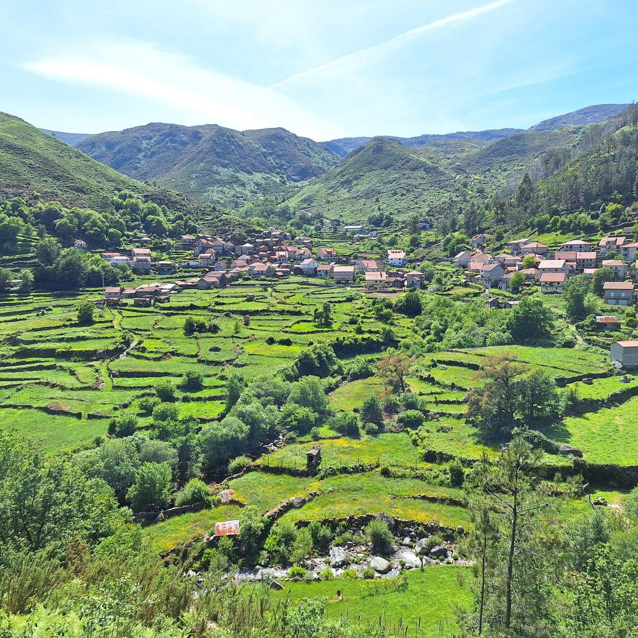
Hiking around Valadares offers diverse terrain for outdoor enthusiasts. The region features a mix of landscapes, including coastal areas and proximity to mountainous regions like Serra da Freita. Trails often traverse varied elevations, providing views of natural features. The area's geology contributes to its distinct character, with options ranging from coastal walks to more inland routes.
Best hiking trails around Valadares
- The most popular hiking route is Castle of Melgaço loop from Melgaço, a 5.9 miles (9.4 km) trail…
Last updated: July 4, 2026
5.0
(1)
16
hikers
9.44km
02:42
210m
210m
Moderate hike. Good fitness required. Easily-accessible paths. Suitable for all skill levels.
5.0
(2)
13
hikers
13.5km
04:16
560m
550m
Moderate hike. Good fitness required. Easily-accessible paths. Suitable for all skill levels.

Sign up for free
4.0
(2)
7
hikers
8.93km
02:30
180m
180m
Moderate hike. Good fitness required. Easily-accessible paths. Suitable for all skill levels.
3.0
(2)
3
hikers
4.45km
01:18
130m
130m
Easy hike. Great for any fitness level. Easily-accessible paths. Suitable for all skill levels.
4
hikers
10.5km
03:24
470m
470m
Moderate hike. Good fitness required. Easily-accessible paths. Suitable for all skill levels.
Get access to more routes and recommendations from other explorers.
Sign up for free
Already have an account?
Our route recommendations are based on thousands of hikes, rides, and runs completed by other people on komoot.
Start today with a free account
Your next adventure awaits.
Login or Signup

Tips from the Community

high with views and climb to pre iosa, stellar observatory and chapel
0
0

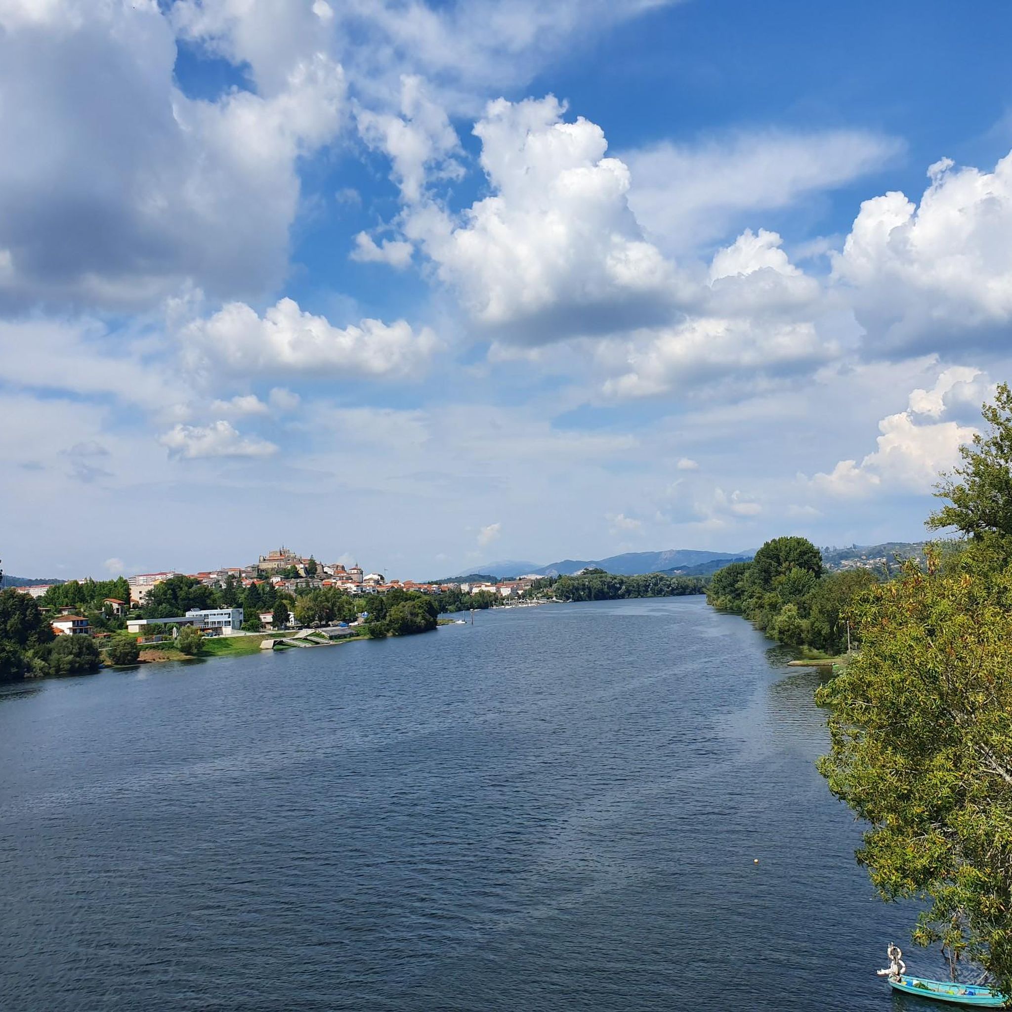
In the 12th century it was the main border defense of Alto Minho, forming the northernmost guard post in Portugal on the section where the Minho River begins its border function and monitoring the crossing into Galicia (WIKIPEDIA). Today just a ruin. There is a small museum in the preserved keep.
0
0

Visiting hours: M-D: 10:00-17:00. L: closed
0
0

The top of Alto San Nomedio (Coto Grande) at 690m altitude. At the same top we will find the hermitage of San Nomedio and spectacular views
1
0

The Concello de As Neves has a rich natural and cultural heritage. Among its main archaeological resources is one of the main petroglyph stations in Galicia.
9
0
In the parish of Taboexa and in the council of As Neves, we will find very close to the Castro de Altamira, the remains of a set of flour mills under a leafy forest made up of oaks that survived the voracious fires of the year 2017 and that burned all this zone.
9
0
In the parish of Taboexa, in As Neves, there is a 328 meter mound whose pyramidal silhouette rises behind the parish church. This small curuto is part of the history of the parish since a castrexo settlement settled there more than two thousand years ago and survived for a while after the Roman conquest. This is the Altamira castro, a site that contains numerous mysteries that have caused the appearance of numerous legends around it.
9
0

The Concello of As Neves suffered devastating fires in October 2017. The fires destroyed 90% of the forest, all of San Domenio as well as the neighboring mountains were completely burned. However, after this ecological disaster, one of the most important archaeological discoveries of the last twenty years came to light, known as the petroglyphs of A Coutada , in Taboexa. Located in the parish of Taboexa, whose past is full of archaeological finds. Its petroglyphs, its mythical and legendary Castro Altamira, and its Roman presence (Note: bronze figure of the god Mercury found at the Capela San Bartolome) and many other discoveries make this parish a place without equal. Reference: Galicia Máxica https://www.galiciamaxica.eu/galicia/petroglifos-as-coutadas-taboexa/
2
0
Frequently Asked Questions
How many hiking trails are available in Valadares?
There are 6 hiking routes available in the Valadares region, offering a variety of experiences for outdoor enthusiasts. These trails range from easy walks to more challenging moderate climbs.
What kind of terrain can I expect on hikes around Valadares?
The Valadares region offers diverse terrain. If you're exploring the area near Vila Nova de Gaia, you'll find coastal paths and proximity to mountainous regions like Serra da Freita, characterized by granite and schist landscapes. Trails often feature varied elevations, providing scenic views. For those near Governador Valadares in Brazil, expect trails leading up iconic peaks like Pico da Ibituruna and more gentle paths within natural parks.
What do other hikers say about the trails in Valadares?
The hiking routes in Valadares are highly rated by the komoot community, with an average score of 3.8 stars from 6 reviews. More than 40 hikers have used komoot to explore the varied terrain, often praising the diverse landscapes and natural features.
Are there any notable natural landmarks or viewpoints to see while hiking?
Yes, the Valadares region boasts several significant natural landmarks and viewpoints. In Portugal, the nearby Serra da Freita region is home to Monte San Nomedio Observation Tower, offering panoramic views, and the dramatic Frecha da Mizarela waterfall. In Brazil, Pico da Ibituruna provides breathtaking vistas. You can also explore historical sites like Castle of Melgaço.
Can I find trails with waterfalls in the Valadares region?
Yes, if you're hiking in the broader region accessible from Valadares, Portugal, you can find trails leading to impressive waterfalls. The Serra da Freita region, for example, is home to Frecha da Mizarela, Portugal's highest waterfall, offering a spectacular natural attraction for hikers.
Are there any unique geological features to explore?
Absolutely. In the Serra da Freita region near Valadares, Portugal, you can discover the fascinating 'Pedras Parideiras' (birthing stones), a unique geological phenomenon where smaller stones naturally detach from larger ones. The Passadiços do Paiva, recognized by UNESCO as part of the Arouca Geopark, also showcases rich geological diversity.
Are there any family-friendly hiking options in Valadares?
Yes, there are easy hiking options suitable for families. For instance, the A Coutada Petroglyphs loop from A Lomba is an easy 2.8-mile trail that can be completed in about 1 hour 18 minutes. In Governador Valadares, Brazil, the Municipal Natural Park offers more gentle paths ideal for leisurely walks and nature observation with children.
Can I bring my dog on the hiking trails?
While specific regulations can vary by trail and protected area, many natural trails in the Valadares region are generally dog-friendly, especially if your dog is well-behaved and kept on a leash. It's always recommended to check local signage or specific trail guidelines before heading out, particularly in nature reserves or parks.
Are there circular hiking routes available?
Yes, many of the hiking routes in Valadares are circular, offering convenient starting and ending points. Examples include the popular Castle of Melgaço loop from Melgaço and the Hiking loop from Tangil, allowing you to experience the diverse landscapes without retracing your steps.
What are some longer, more challenging hikes in the area?
For those seeking a more challenging experience, the Hiking loop from Tangil is a moderate 8.4-mile path with significant elevation changes, climbing over 550 meters. Another moderate option is the Altamira Hillforts – A Coutada Petroglyphs loop from Altamira, which covers over 10 kilometers with substantial elevation gain.
Are there any historical sites or cultural points of interest along the trails?
Yes, the region offers a blend of natural beauty and historical significance. The A Coutada Petroglyphs loop from A Lomba leads through historical landscapes. Additionally, you can find landmarks like the Castle of Melgaço and the ruins of the Grande Hotel do Pezo, adding a cultural dimension to your hike.
What is the best time of year to go hiking in Valadares?
The best time to go hiking in Valadares generally depends on the specific location. For coastal areas in Portugal, spring and autumn offer pleasant temperatures, avoiding the summer heat. In mountainous regions like Serra da Freita, these seasons also provide comfortable conditions and vibrant scenery. For Governador Valadares in Brazil, the dry season (typically May to September) is often preferred for hiking, offering clearer skies and more moderate temperatures.
Most popular routes around Valadares
Most popular attractions around Valadares

Get inspired with the komoot mobile app


Explore more
Browse the best Hikes in other regions.
