Top 10 Running Trails around Ribeira Branca
5.0
(5)
944
runners
101
runs
Jogging around Ribeira Branca offers a diverse landscape for runners. The region features undulating terrain with notable elevation changes, including areas with significant ascents and descents. Running routes often traverse varied natural environments, providing a range of experiences from moderate paths to more challenging trails. The area's geography includes both open spaces and sections that may pass near natural formations.
Best jogging routes around Ribeira Branca
- The most popular jogging route is Vale Garcia Ascent loop from Pedrógão, a…
Last updated: July 8, 2026
28
runners
15.7km
02:14
590m
590m
Hard run. Very good fitness required. Mostly paved surfaces. Suitable for all skill levels.
12
runners
9.84km
01:03
130m
130m
Moderate run. Good fitness required. Mostly paved surfaces. Suitable for all skill levels.

Sign up for free
9
runners
16.9km
02:33
820m
820m
Hard run. Very good fitness required. Mostly paved surfaces. Suitable for all skill levels.
10
runners
26.2km
03:11
530m
530m
Hard run. Very good fitness required. Mostly paved surfaces. Suitable for all skill levels.
8
runners
11.1km
01:12
100m
100m
Moderate run. Good fitness required. Mostly paved surfaces. Suitable for all skill levels.
Get access to more routes and recommendations from other explorers.
Sign up for free
Already have an account?
Our route recommendations are based on thousands of hikes, rides, and runs completed by other people on komoot.
Start today with a free account
Your next adventure awaits.
Login or Signup
Tips from the Community

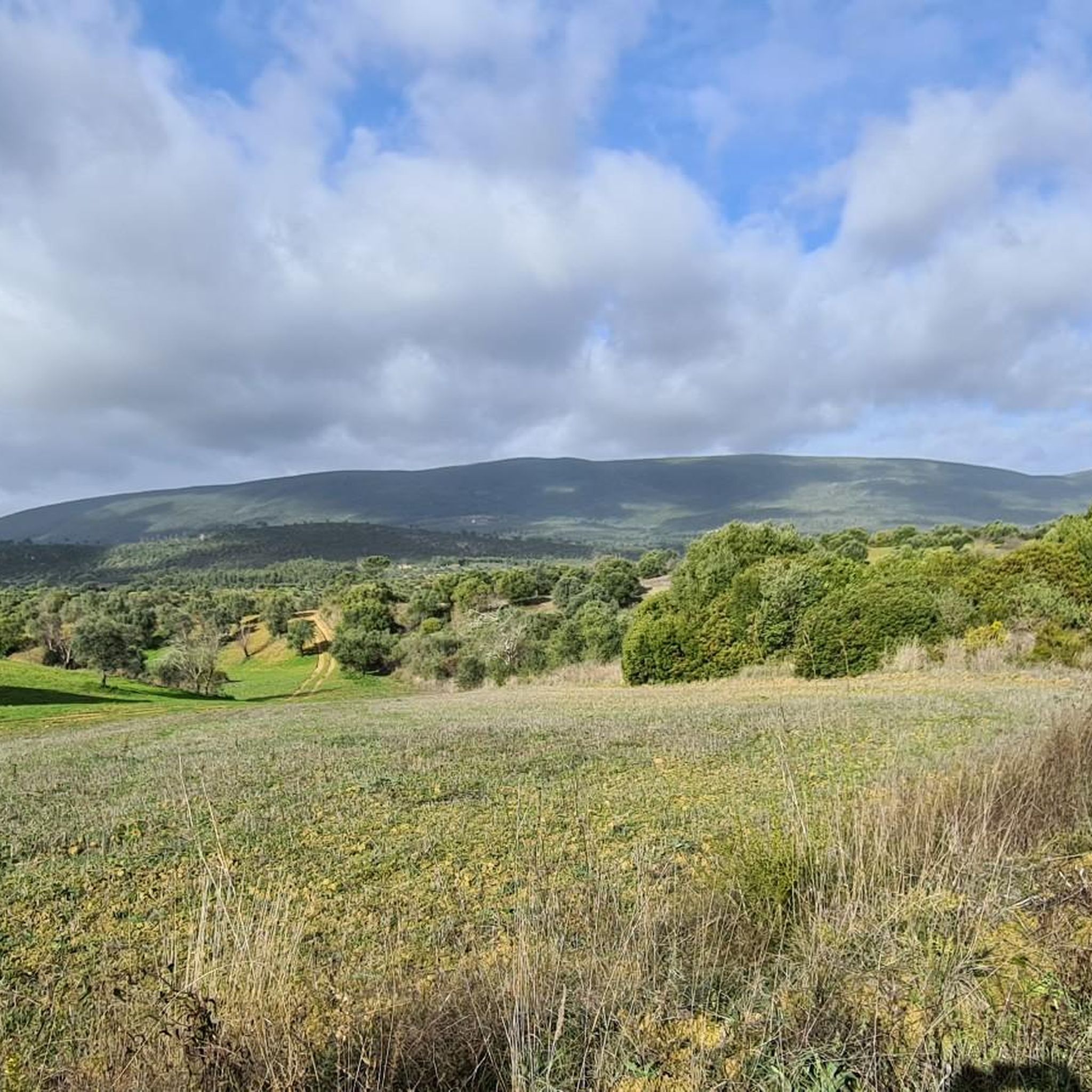
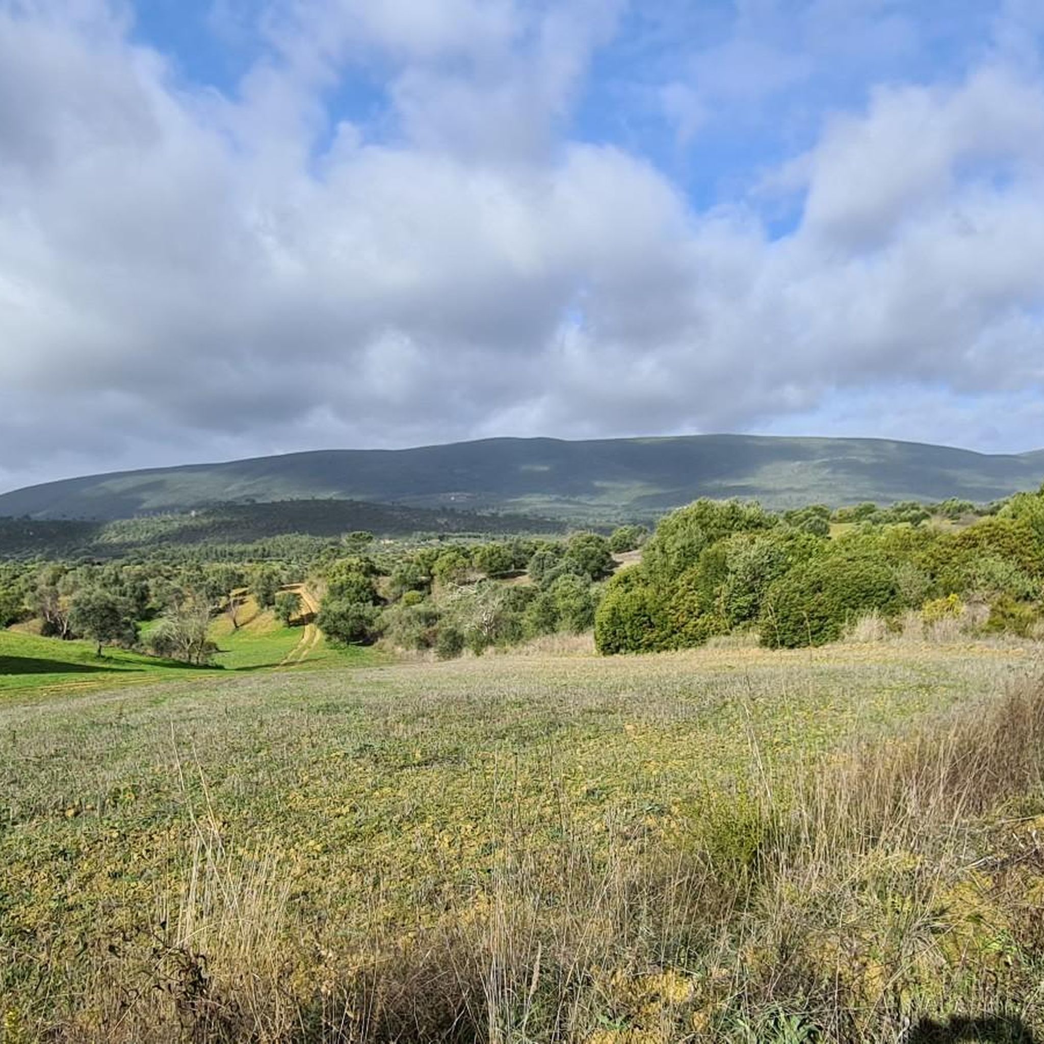
The Serra de Aire stands as the highest point of the Estremenho Limestone Massif, crowning its 678 metres at the geodesic vertex. Up here, the horizon opens up generously: to the south stretches the Tertiary Tagus Basin, lowered by the Arrife thrust and marked by ochre tones of sand and clay; to the west and southwest rise the Santo António plateau and the Serra dos Candeeiros. And if the sky cooperates, the view also reaches Montejunto, the sea in the distance and, to the north, the highlands of São Mamede up to Ourém and Fátima.
1
0
The Garcia Valley hides a narrow and wild trail, where the bush almost blocks the path, but that is precisely what makes it special for runners. The classic climb is a real test for the legs: 200 meters of elevation gain in just one kilometer. Short, tough and full of charm.
1
1
Frequently Asked Questions
How many running routes are available around Ribeira Branca?
There are over 100 dedicated running routes in the Ribeira Branca region, offering a wide variety of experiences for all skill levels. You'll find everything from easy paths to challenging trails with significant elevation changes.
Are there any easy jogging routes for beginners in Ribeira Branca?
Yes, while many routes feature varied terrain, there is at least one easy jogging route specifically suited for beginners. For those looking for a slightly more challenging but still manageable experience, there are also 59 moderate routes available.
What are some challenging running routes in Ribeira Branca?
Ribeira Branca is known for its undulating terrain, and there are 46 difficult running routes for experienced runners. A particularly challenging option is the Vale Garcia Ascent loop from Pedrógão, which is 9.7 miles (15.7 km) long and features significant elevation gain.
Can I find circular running routes in the Ribeira Branca area?
Yes, many of the running routes around Ribeira Branca are designed as loops, allowing you to start and finish at the same point. For example, the Running loop from Torres Novas is a popular moderate 6.1-mile (9.9 km) option.
Are there any viewpoints or scenic spots along the running trails?
Yes, the region offers natural beauty and potential viewpoints. You might encounter scenic spots like Cimo da Lagoa, which offers panoramic views. Many routes traverse varied natural environments, providing picturesque backdrops for your run.
What do other runners say about the trails in Ribeira Branca?
The running routes in Ribeira Branca are highly rated by the komoot community, with an average score of 5.0 stars from over 5 reviews. More than 892 runners have used komoot to explore the varied terrain, often praising the diverse landscapes and challenging ascents.
Are there any family-friendly running paths in Ribeira Branca?
While specific 'family-friendly' designations aren't always available, routes with lower difficulty and moderate elevation changes are generally suitable for families. Look for the easy and moderate routes, such as the Running loop from Liteiros, which is a moderate 8.3-mile (13.3 km) path with relatively low elevation gain.
Are dogs allowed on the running trails in Ribeira Branca?
Regulations for dogs on trails can vary by specific location and natural park rules. It's always best to check local signage or the detailed route descriptions on komoot for individual trails to ensure your dog is welcome and to understand any leash requirements.
Where can I find parking for the running routes?
Parking availability often depends on the specific trailhead. Many routes start near towns or villages where public parking might be available. For detailed parking information, it's recommended to check the individual route pages on komoot, as users often share insights in comments or photos.
What kind of terrain can I expect on the running trails?
The Ribeira Branca region features diverse and undulating terrain. You can expect a mix of paths with notable elevation changes, including significant ascents and descents. Routes often traverse varied natural environments, from open spaces to areas near natural formations.
Are there any historical or natural landmarks near the running routes?
Yes, the region offers several points of interest. You might run near the Serras de Aire e Candeeiros Natural Park, or discover historical elements like Ponte da Ferreira. The Lapa do Picareiro loop from Centro de Interpretação Gruta do Almonda, for instance, leads through hilly landscapes and natural features.
What is the best time of year for running in Ribeira Branca?
The best time for running in Ribeira Branca generally depends on personal preference and weather conditions. Spring and autumn often offer milder temperatures, which are ideal for outdoor activities. Summers can be warm, so early morning or late evening runs are advisable, while winters are typically cooler.
Most popular routes around Ribeira Branca
Most popular attractions around Ribeira Branca

Get inspired with the komoot mobile app


Explore more
Browse the best Running Trails & Routes in other regions.
