The best walks and hikes around Brogueira
4.8
(24)
91
hikers
26
hikes
Hiking around Brogueira offers diverse terrain situated between the Serra de Aire and Serra dos Candeeiros mountain ranges. The region is characterized by varied topography, including karstic landscapes with unique rock formations. Trails often feature different elevations, from gentle slopes to more challenging ascents. This geographical setting provides a range of natural features conducive to exploration.
Best hiking trails around Brogueira
- The most popular hiking route is Rota dos Ferreiros (PR 4) — circular route, a 6.3 miles (10.2…
Last updated: July 8, 2026
5.0
(4)
7
hikers
10.2km
02:44
110m
110m
Moderate hike. Good fitness required. Easily-accessible paths. Suitable for all skill levels.
5.0
(1)
5
hikers
10.7km
02:54
150m
150m
Moderate hike. Good fitness required. Easily-accessible paths. Suitable for all skill levels.

Sign up for free
4.0
(1)
6
hikers
11.6km
03:49
520m
520m
Moderate hike. Good fitness required. Easily-accessible paths. Suitable for all skill levels.
4.7
(3)
5
hikers
8.26km
02:18
150m
150m
Moderate hike. Good fitness required. Easily-accessible paths. Suitable for all skill levels.
5.0
(1)
4
hikers
9.91km
02:59
280m
290m
Moderate hike. Good fitness required. Easily-accessible paths. Suitable for all skill levels.
Get access to more routes and recommendations from other explorers.
Sign up for free
Already have an account?
Our route recommendations are based on thousands of hikes, rides, and runs completed by other people on komoot.
Start today with a free account
Your next adventure awaits.
Login or Signup

Tips from the Community

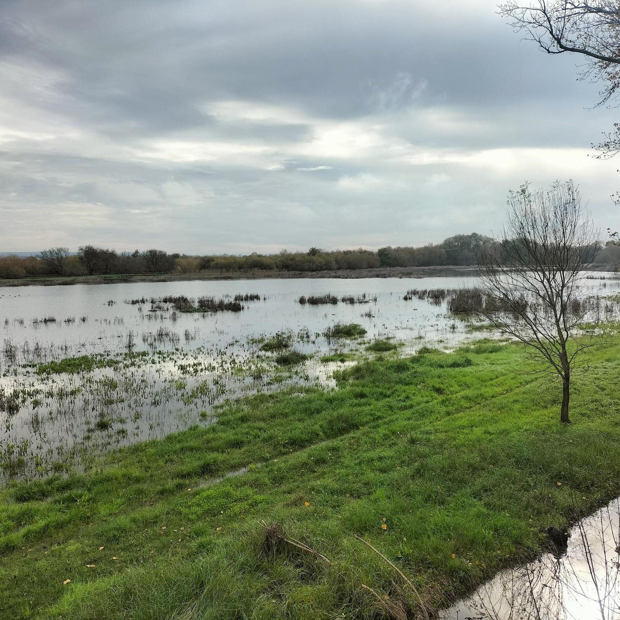
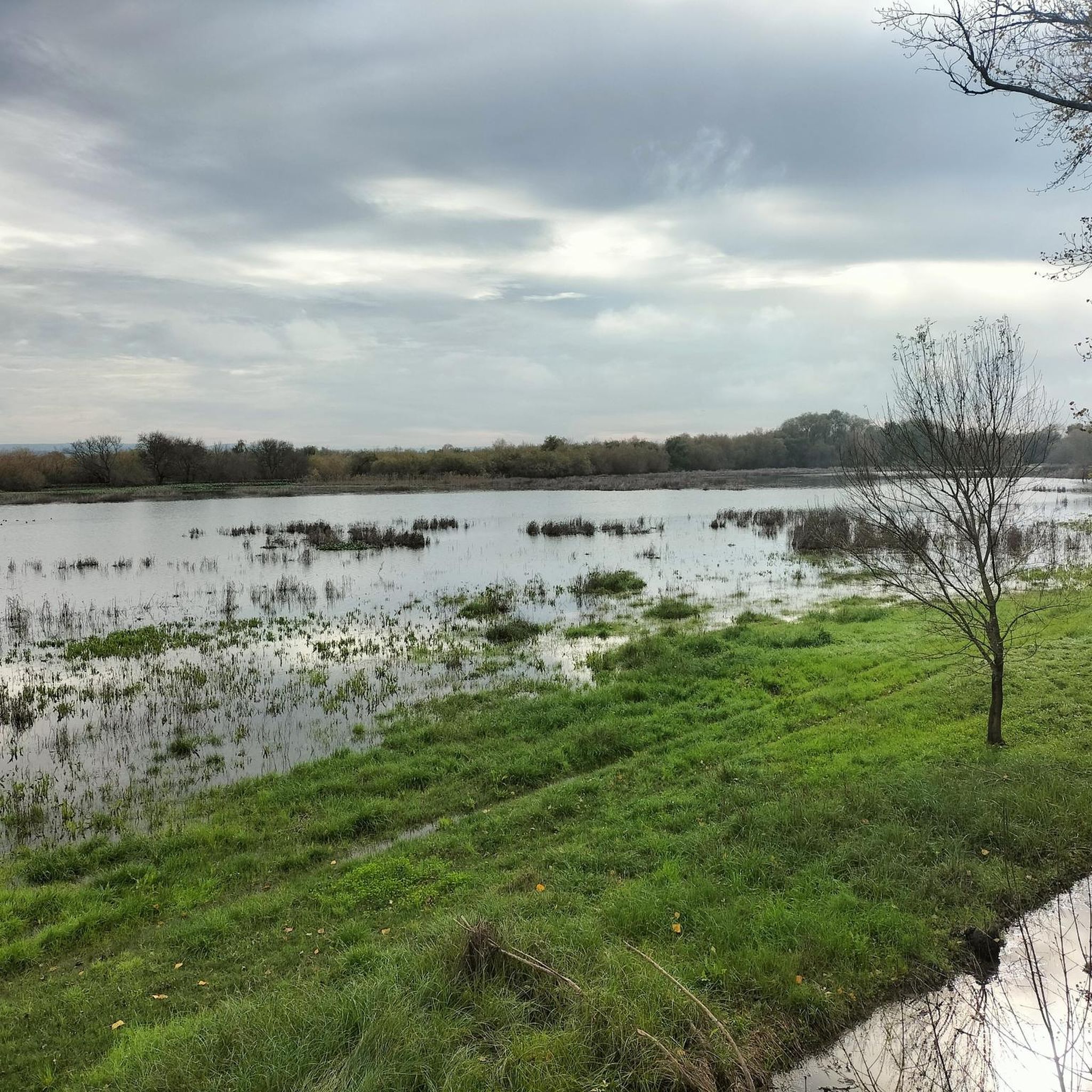
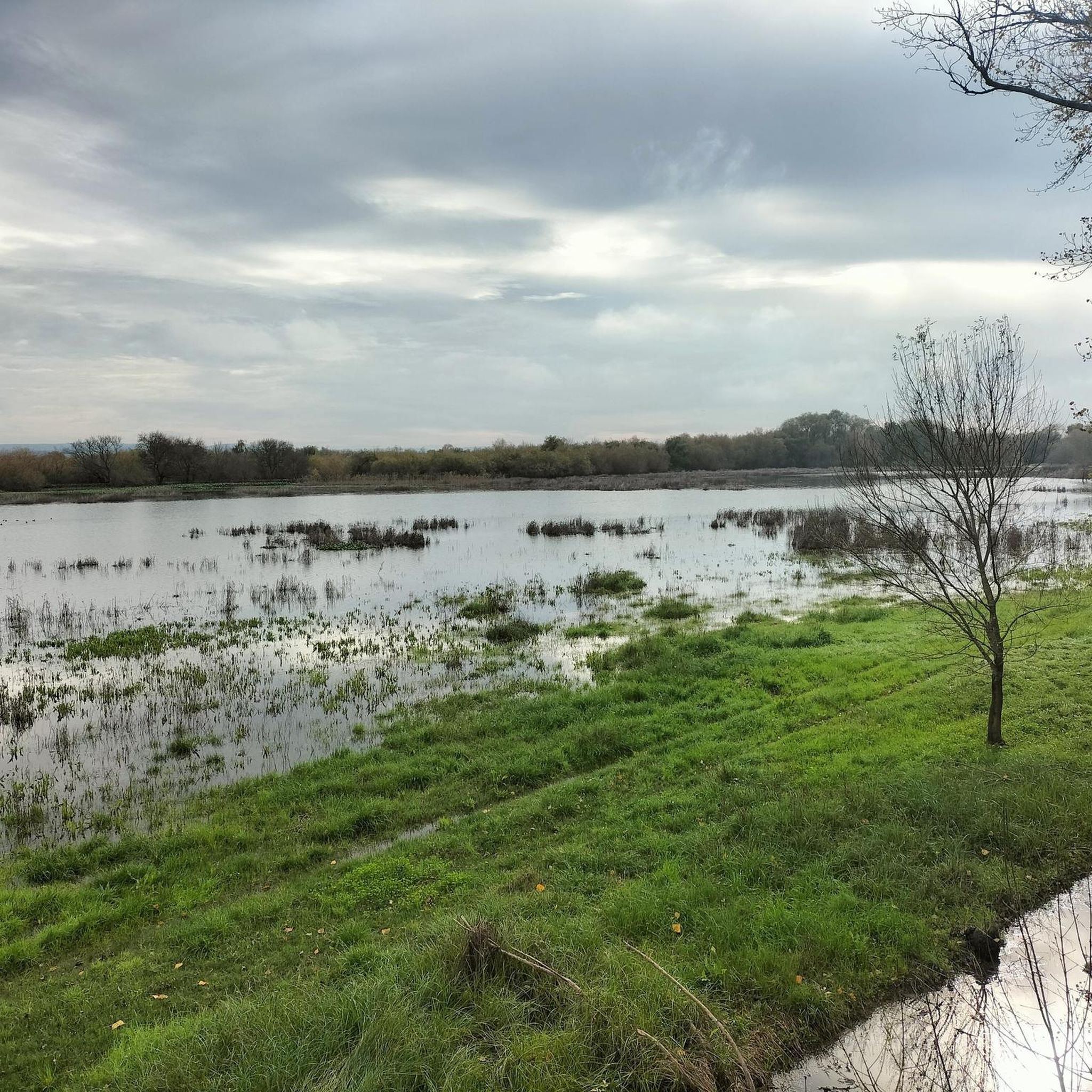
The Silvas Mill is one of many that dot these fields, recalling times when the wind moved everyday life. The view is stunning, even more so on sunny days, when the landscape lights up.
2
0
Malhou owes its name to the rhythmic sound of hammers and the shine of forges: in times past, this parish was famous for the talent of its blacksmiths, masters in the art of shaping iron with skill and strength. It was this craft that marked the identity of the land and gave it its name.
1
0
The Silvas Mill is one of many that dot these fields, recalling times when the wind moved everyday life. The view is stunning, even more so on sunny days, when the landscape lights up. The dirt road invites you to run without rushing or worrying, just look up and enjoy the scenery.
2
0
The Serra de Aire stands as the highest point of the Estremenho Limestone Massif, crowning its 678 metres at the geodesic vertex. Up here, the horizon opens up generously: to the south stretches the Tertiary Tagus Basin, lowered by the Arrife thrust and marked by ochre tones of sand and clay; to the west and southwest rise the Santo António plateau and the Serra dos Candeeiros. And if the sky cooperates, the view also reaches Montejunto, the sea in the distance and, to the north, the highlands of São Mamede up to Ourém and Fátima.
1
0


Nice part of the route over the old stone water pipe. It is a narrow path (25 cm wide) with some small, but quite steep slopes. I did it with 2 children (4 and 7 years old) and it went well. The route also continues on the other side of the bridge, which we have not walked yet. I seem to be such a narrow path
0
0
Frequently Asked Questions
What kind of terrain can I expect on hikes around Brogueira?
Hiking around Brogueira offers a diverse landscape, situated between the Serra de Aire and Serra dos Candeeiros mountain ranges. You'll encounter varied topography, including karstic features like unique rock formations. Trails range from gentle slopes to more challenging ascents, providing a mix of experiences.
Are there many hiking options available in the Brogueira region?
Yes, there are a good number of hiking options. The Brogueira region features over 25 hiking tours, catering to various skill levels. You'll find a selection of easy, moderate, and difficult paths to explore.
Are there any circular hiking routes in Brogueira?
Yes, several circular routes are available. A popular choice is the Rota dos Ferreiros (PR 4) — circular route, which is a moderate 6.3-mile (10.2 km) trail. Another option is the Grutas de Lapas loop from Torres Novas, a 5.9-mile (9.5 km) moderate path known for its karstic features.
What are the difficulty levels of the hiking trails in Brogueira?
The trails around Brogueira offer a range of difficulty levels. Most routes are classified as moderate, making them suitable for regular hikers. There are also a few easy options for a more relaxed walk and some more difficult trails for those seeking a challenge.
What do other hikers say about the trails in Brogueira?
The hiking routes in Brogueira are highly regarded by the komoot community, holding an average rating of 4.8 stars from over 20 reviews. Hikers often praise the varied terrain and the scenic views of the surrounding countryside.
Are there any interesting landmarks or attractions to see near the hiking trails?
While hiking in the Brogueira area, you can discover several points of interest. These include the settlement of Moitas Venda, historical bridges like Ponte João Joaquim Isidro dos Reis and Roman Bridge of Reguengo do Alviela, and even The house of Jose Saramago.
Are there any easy hiking trails suitable for families in Brogueira?
Yes, Brogueira offers a couple of easy hiking trails that are suitable for families or those looking for a less strenuous walk. These routes provide an opportunity to enjoy the natural beauty of the region without significant elevation changes.
What is the typical duration for a hike in Brogueira?
The duration of hikes in Brogueira varies depending on the route and your pace. For example, the Rota dos Ferreiros (PR 4) typically takes around 2 hours and 44 minutes, while the Hiking loop from Pedrógão can take approximately 3 hours and 49 minutes.
Can I find trails with good viewpoints in the Brogueira region?
Yes, due to its location between the Serra de Aire and Serra dos Candeeiros mountain ranges, many elevated trails in Brogueira offer panoramic views of the surrounding countryside. These scenic vistas are a highlight for many hikers.
What are the natural features that define the Brogueira hiking experience?
The hiking experience in Brogueira is largely defined by its unique karstic landscapes, which include distinctive rock formations, and varied topography. The region's position between two mountain ranges also contributes to diverse flora and fauna, making for an engaging natural environment.
Are there any specific trails that explore the karstic features of the region?
Yes, the Grutas de Lapas loop from Torres Novas is a notable trail that specifically explores the karstic landscape around Torres Novas, offering a chance to see these unique geological formations.
Most popular routes around Brogueira
Most popular attractions around Brogueira

Get inspired with the komoot mobile app


Explore more
Browse the best Hikes in other regions.
