The best cycling routes around Santarém (Marvila)
4.2
(21)
154
riders
38
rides
Touring cycling around Santarém (Marvila) offers access to diverse landscapes, including scenic countryside with rolling hills, vineyards, and olive groves. The region benefits from its proximity to the Tagus River, providing routes along its banks and panoramic views from elevated points. While mostly paved, some routes may include unpaved sections. This area is part of the broader Santarém District, known for its natural features and historical sites.
Best touring cycling routes around Santarém (Marvila)
- The most popular touring cycling route…
Last updated: July 2, 2026
16
riders
49.6km
03:50
280m
280m
Moderate bike ride. Good fitness required. Mostly paved surfaces. Suitable for all skill levels.
9
riders
39.9km
03:01
480m
480m
Hard bike ride. Very good fitness required. Mostly paved surfaces. Suitable for all skill levels.

Sign up for free
3.0
(1)
5
riders
44.1km
02:38
220m
220m
Moderate bike ride. Good fitness required. Mostly paved surfaces. Suitable for all skill levels.
5.0
(5)
9
riders
29.7km
02:10
420m
430m
Moderate bike ride. Good fitness required. Mostly paved surfaces. Suitable for all skill levels.
9
riders
47.3km
03:53
710m
710m
Hard bike ride. Very good fitness required. Mostly paved surfaces. Suitable for all skill levels.
Get access to more routes and recommendations from other explorers.
Sign up for free
Already have an account?
Our route recommendations are based on thousands of hikes, rides, and runs completed by other people on komoot.
Start today with a free account
Your next adventure awaits.
Login or Signup

Tips from the Community

Ride on the path dedicated for bikes. The road isn’t suitable for bikes, rough and slippery.
1
0


I didn't go in, but I recommend it.
11
2

Watch out it can be slippery
1
0

Church of Santa Maria da Graça, where Pedro Álvares Cabral is buried. Today it is only used as a museum. For special occasions, such as a wedding, the church can still be used as such.
15
1

The village of Valada is a Portuguese town, located in the municipality of Cartaxo, district of Santarém, Ribatejo region. Here is some information: General Data 1. Population (2021): 1,434 inhabitants. 2. Area: 11.2 km². 3. Population density: 128 inhabitants/km². 4. Altitude: 20-30 meters above sea level.
2
0
The village of Valada is a small Portuguese town, located in the municipality of Cartaxo, district of Santarém, in the Ribatejo region. Here is some information: Characteristics 1. Population: Around 1,500 inhabitants. 2. Area: 11.2 km². 3. Population density: 134 inhabitants/km². 4. Altitude: 20-30 meters above sea level. History 1. Origins: Possibly founded by the Romans. 2. 12th century: Part of the municipality of Cartaxo. 3. 15th century: Agricultural and livestock development. Points of interest 1. Igreja Matriz de Nossa Senhora da Conceição (18th century). 2. Capela de São Sebastião. 3. Fonte do Castelo (historical monument). 4. Praia Fluvial de Valada (river Tagus). 5. Walking and cycling trails. Activities 1. Agriculture (cereals, fruit and vegetables). 2. Livestock farming (cattle, pigs and poultry). 3. River fishing. 4. Rural tourism. 5. Cultural and religious events. Accessibility 1. Located 10 km from Cartaxo. 2. Access via the EN365 national road. 3. Public transport: buses. 4. Nearest train station: Cartaxo.
4
0

From here I went to Lisbon Oriente. Bicycles are taken free of charge. My slow train got quite full. The last picture shows the modern Lisbon Oriente train station.
1
0
Frequently Asked Questions
How many touring cycling routes are available in Santarém (Marvila)?
There are over 40 touring cycling routes around Santarém (Marvila) listed on komoot, offering a variety of distances and difficulty levels to explore the region.
What kind of terrain can I expect on touring cycling routes around Santarém (Marvila)?
The region features diverse landscapes, including scenic countryside with rolling hills, vineyards, and olive groves. Routes often include mostly paved surfaces, but some longer or more challenging segments may incorporate unpaved sections, adding to the adventurous touring experience.
Are there any challenging touring cycling routes for experienced riders?
Yes, for experienced riders seeking a challenge, routes like the View of Almeirim Landscape – Azoia de Cima Viewpoint loop from Santarém offer significant elevation gain and expansive views. Another difficult option is the Santarém Train Station – View of the Tagus River loop from Santarém, which also features substantial climbing.
Can I find routes suitable for beginners or those looking for an easier ride?
While many routes are moderate to difficult, there are a few easier options available. The region's varied terrain means you can find routes with minimal elevation, particularly those closer to the Tagus River floodplain, which are more suitable for a relaxed pace.
What are the best times of year for touring cycling in Santarém (Marvila)?
The best seasons for touring cycling in Santarém are spring and autumn. During these times, temperatures are mild and generally more conducive to long-distance rides, allowing for a comfortable exploration of the region's landscapes.
Are there any notable viewpoints or natural features along the cycling routes?
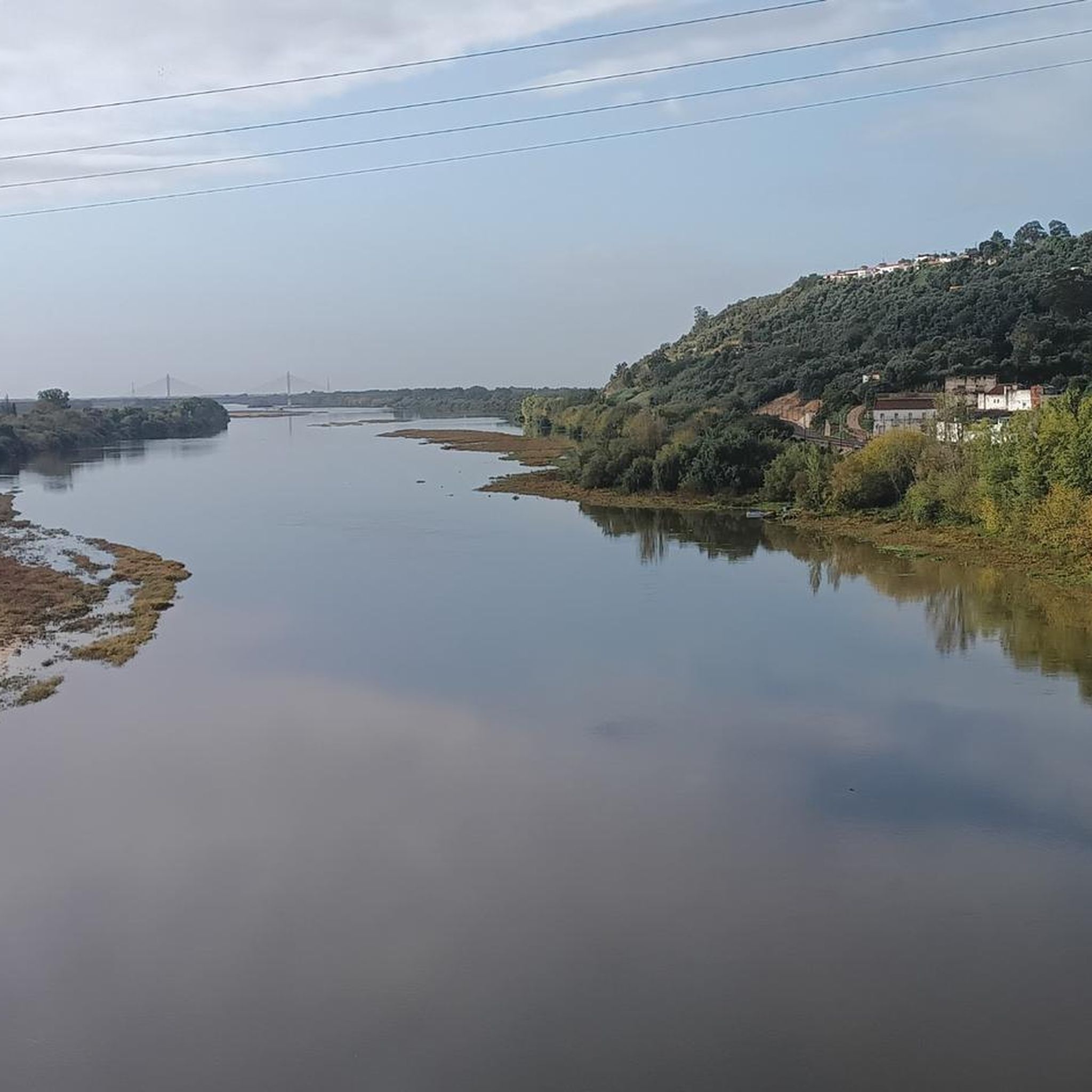
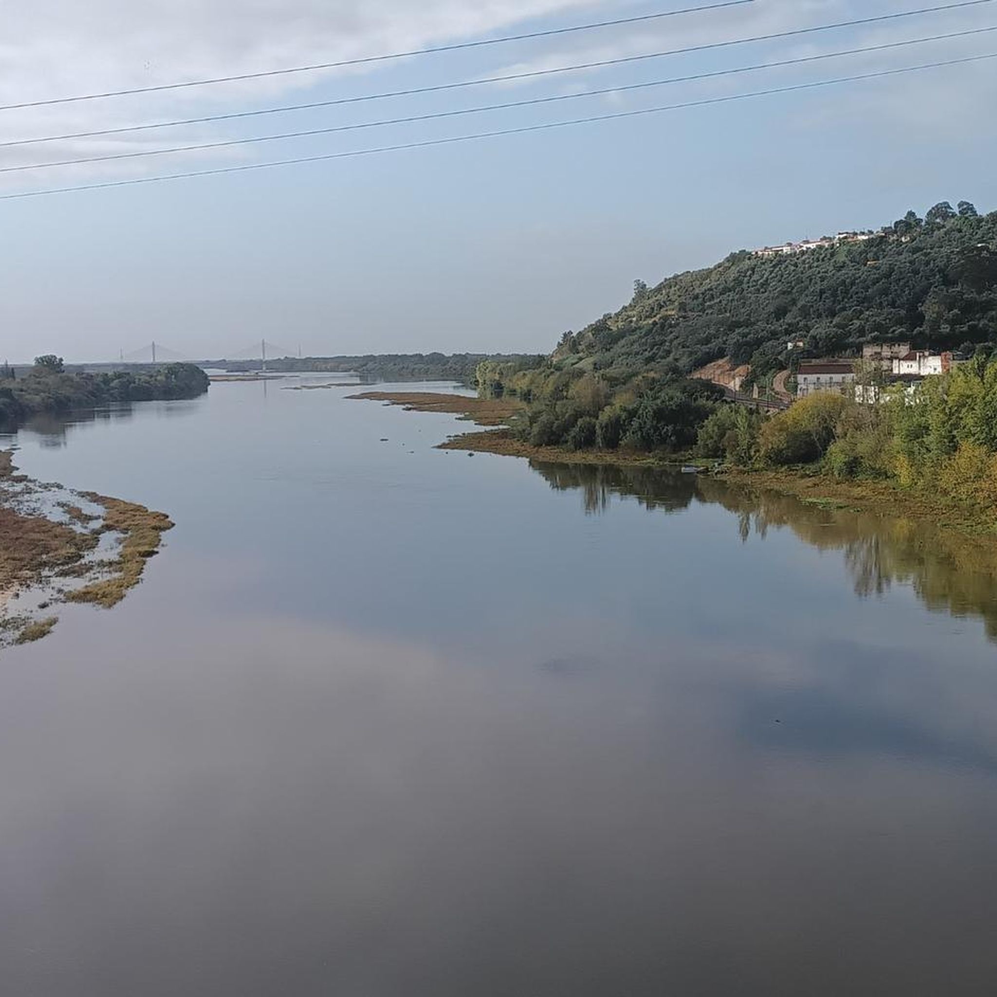
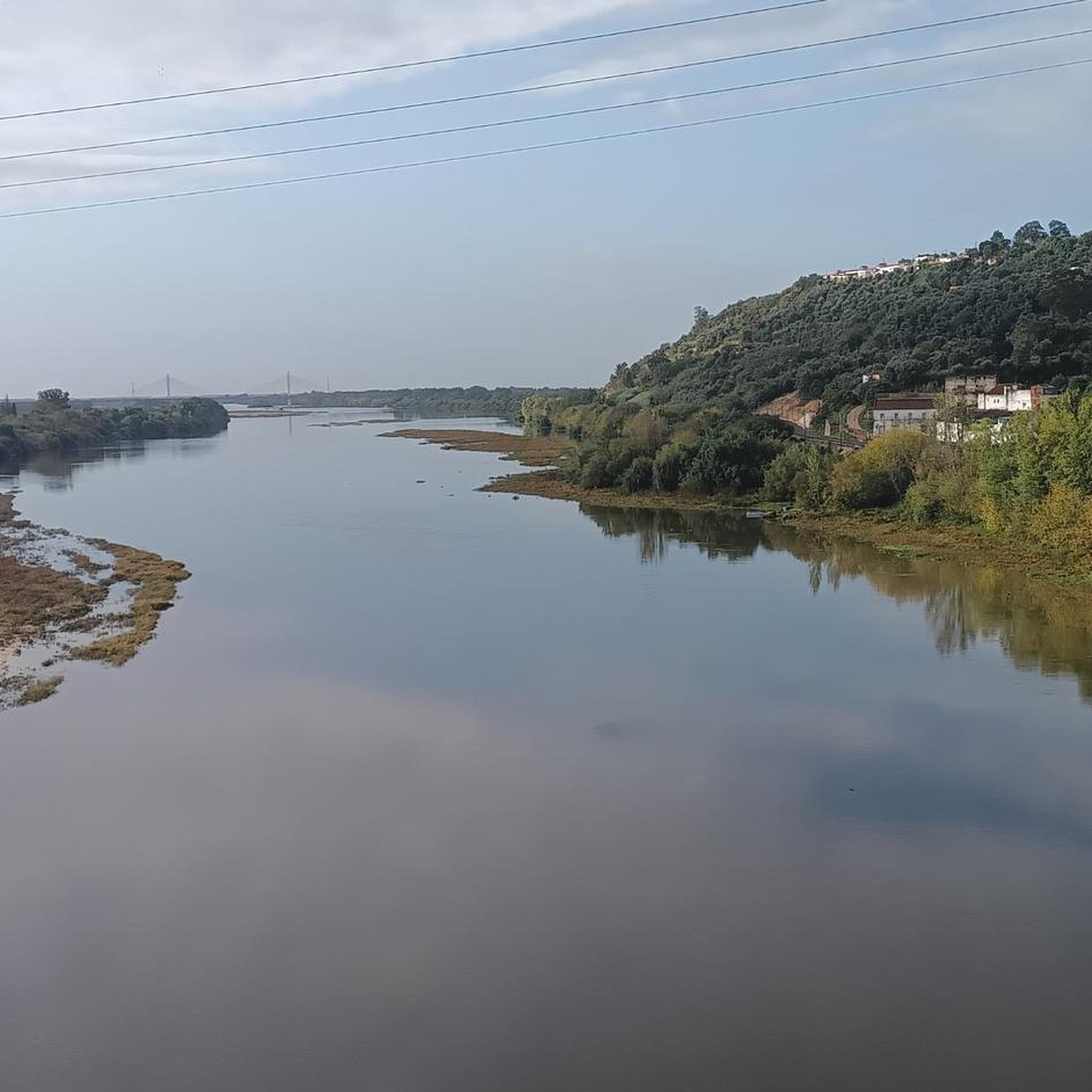
Many routes offer scenic views, particularly along the Tagus River. Elevated points like the Jardim das Portas do Sol in Santarém provide panoramic vistas of the river and plains. The Tejo River Valley and its wetlands are significant natural features that can be explored, and some routes pass through protected areas like the Reserva Natural do Paul do Boquilobo.
What historical or cultural attractions can I explore while cycling in the region?
The city of Santarém itself boasts historical sites such as the Igreja de Santa Maria de Marvila and the Cathedral of Santarém. You can also find interesting landmarks like the Ponte Rainha D. Amélia. Further afield in the district, the iconic Almourol Castle, situated on an island in the Tagus River, is a prominent historical attraction that can be incorporated into longer touring routes.
Are there circular touring cycling routes available?
Yes, many touring cycling routes in Santarém (Marvila) are designed as loops. Examples include the popular Sá da Bandeira Square – Valada Village loop from Santarém and the Ponte Rainha D. Amélia – Ponte Rainha D. Amélia loop from Santarém, which takes you through the Tagus River valley.
How do other cyclists rate the touring routes in Santarém (Marvila)?
The touring cycling routes in Santarém (Marvila) are highly rated by the komoot community, with an average score of 4.2 stars from over 20 reviews. Cyclists often praise the varied terrain, scenic river views, and the opportunity to explore rural villages.
What are the parking options for accessing touring cycling routes in Santarém (Marvila)?
Santarém (Marvila) serves as an excellent starting point with urban amenities. Parking is generally available within the city of Santarém, from where many routes begin or are easily accessible. Specific parking details for individual routes can often be found on their respective komoot tour pages.
Can I reach the touring cycling routes using public transport?
Yes, Santarém has a train station, and some routes, such as the Santarém Train Station – View of the Tagus River loop from Santarém, start directly from there. This makes it convenient to access routes if you are traveling by public transport.
Are there places to stop for refreshments or food along the routes?
Many routes pass through charming towns and villages where you can find local cafes and restaurants. The region's agricultural landscape also means you might encounter opportunities to sample local produce. Santarém itself offers numerous options for food and drink before or after your ride.
Most popular routes around Santarém (Marvila)
Most popular attractions around Santarém (Marvila)

Get inspired with the komoot mobile app


Explore more
Browse the best Cycling routes in other regions.
