The best cycling routes around Azoia De Cima
4.0
(13)
68
riders
7
rides
Touring cycling around Azoia De Cima features routes that navigate an undulating landscape with significant elevation changes. The terrain includes rolling hills and areas that offer panoramic views, as indicated by routes like the "Viewpoint loop." The region's paths often traverse varied ground, including sections near features like "Ponte de Pedra," suggesting a mix of natural and possibly historical elements.
Best touring cycling routes around Azoia De Cima
- The most popular touring cycling route is Azoia de Cima Viewpoint loop…
Last updated: July 2, 2026
13
riders
44.0km
03:48
620m
620m
Hard bike ride. Very good fitness required. Mostly paved surfaces. Suitable for all skill levels.
13
riders
45.0km
03:46
600m
600m
Hard bike ride. Very good fitness required. Mostly paved surfaces. Suitable for all skill levels.

Sign up for free
5
riders
39.4km
02:25
310m
310m
Moderate bike ride. Good fitness required. Mostly paved surfaces. Suitable for all skill levels.
4.0
(1)
6
riders
28.5km
01:47
250m
250m
Moderate bike ride. Good fitness required. Mostly paved surfaces. Suitable for all skill levels.
3
riders
55.7km
03:30
490m
490m
Hard bike ride. Very good fitness required. Mostly paved surfaces. Suitable for all skill levels.
Get access to more routes and recommendations from other explorers.
Sign up for free
Already have an account?
Our route recommendations are based on thousands of hikes, rides, and runs completed by other people on komoot.
Start today with a free account
Your next adventure awaits.
Login or Signup


Tips from the Community

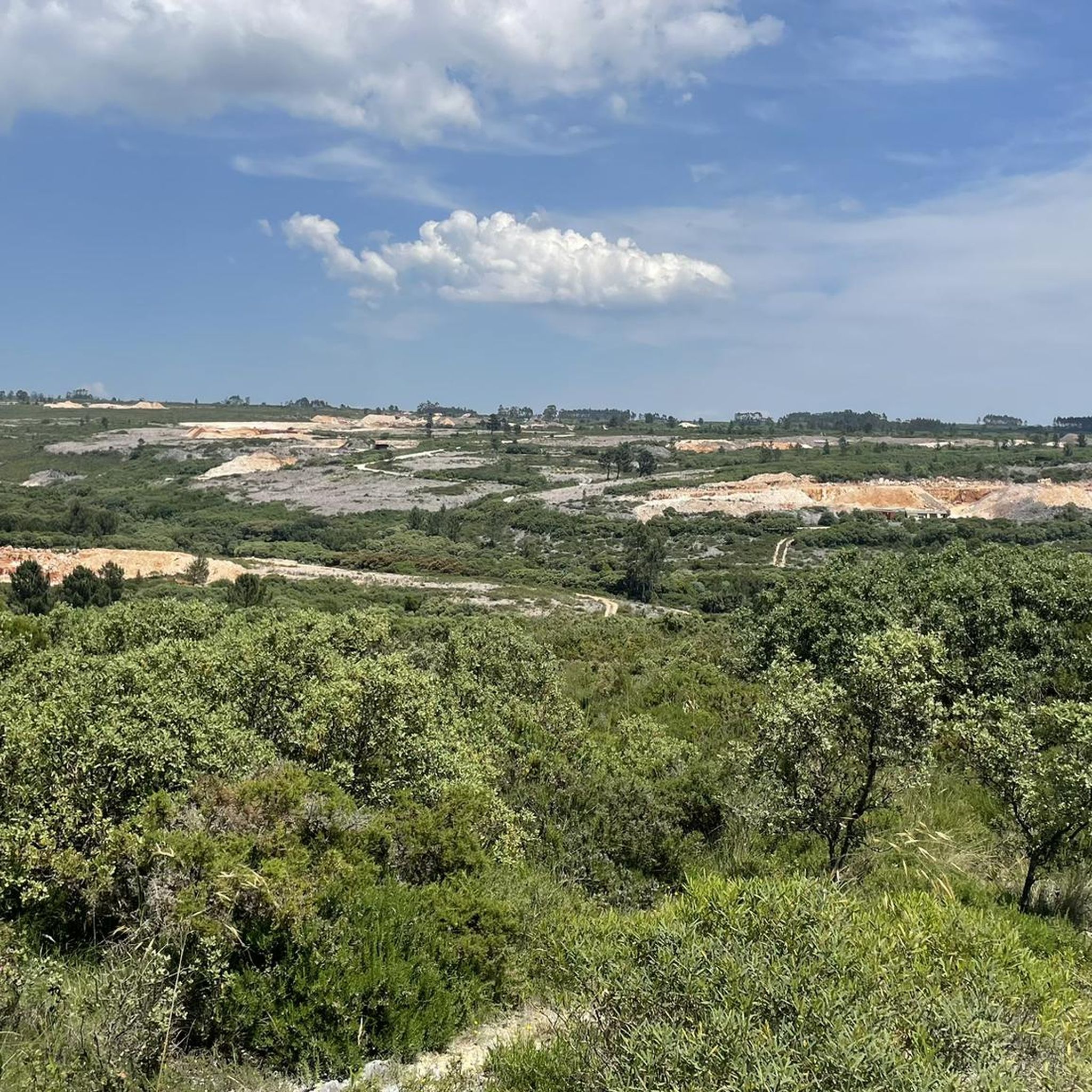
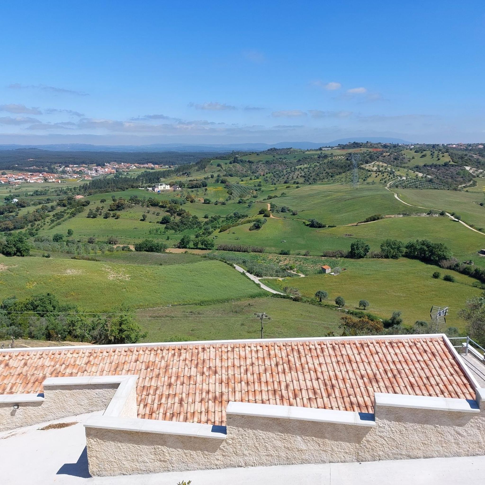
The region is ideal for nature tourism and outdoor activities: Cabeço de Santa Marta: An imposing natural viewpoint offering panoramic views and a central point for trekking and mountain biking routes. Trails and Routes: The parish is crossed by several routes, such as the Santa Marta Route (PR11 ACN), popular with hikers and mountain bikers. Climbing: There is a dedicated climbing area at Cabeço de Santa Marta. Heritage: Local history can be explored in the exhibition "From Saint Peter to Saint Martha," which celebrated the parish's 100th anniversary at the Alcanena Municipal Museum.
1
0
Moitas Venda is a Portuguese parish belonging to the municipality of Alcanena, in the district of Santarém. Situated between the Serra de Aire and the Serra dos Candeeiros mountain ranges, the town celebrated its centenary of elevation to parish status in 2025 (created on April 11, 1925).
1
0

Malhou owes its name to the rhythmic sound of hammers and the shine of forges: in times past, this parish was famous for the talent of its blacksmiths, masters in the art of shaping iron with skill and strength. It was this craft that marked the identity of the land and gave it its name.
1
0

After the bridge, a small river beach. A pearl on the banks of the Alviela.
2
0
Frequently Asked Questions
How many touring cycling routes are available in Azoia De Cima?
There are 8 touring cycling routes documented in Azoia De Cima on komoot. These routes navigate an undulating landscape with significant elevation changes, offering options for various skill levels.
Are there any easy or beginner-friendly touring cycling routes in Azoia De Cima?
The touring cycling routes in Azoia De Cima are generally characterized by rolling hills and elevation changes. Currently, all listed routes are rated as either moderate or difficult, with no easy or beginner-specific options available. Routes like the Ponte de Pedra – Moitas Venda loop from Amiais de Baixo (28.4 km) are moderate and might be suitable for cyclists with some experience.
What kind of terrain can I expect on touring cycling routes around Azoia De Cima?
The region features an undulating landscape with significant elevation changes, including rolling hills. Paths often traverse varied ground, with routes like the Ponte de Pedra – Malhou loop from Amiais de Baixo leading through areas with moderate elevation, suggesting a mix of natural and possibly historical elements.
Are there any long-distance touring cycling routes in Azoia De Cima?
Yes, several routes offer longer distances. The Azoia de Cima Viewpoint loop from Arneiro das Milhariças is 45.0 km long, and the Mesquita loop from Azoia de Baixo covers 44.0 km. These routes are rated difficult and feature substantial climbs and descents.
Are there circular touring cycling routes available in Azoia De Cima?
Yes, all the touring cycling routes listed for Azoia De Cima are circular loops. Examples include the Azoia de Cima Viewpoint loop from Arneiro das Milhariças and the Ponte de Pedra – Malhou loop from Amiais de Baixo, allowing you to start and end at the same point.
What can I see or explore along the touring cycling routes in Azoia De Cima?
While cycling, you can encounter various points of interest. Notable attractions in the wider area include the Alcanena MTB Center – Alviela Spring, Ponte da Ferreira, and the Source of the Alviela River (Olhos de Água). Some routes, like the "Viewpoint loop," are specifically known for offering expansive views.
Are there any cafes or places to stop for refreshments along the touring cycling routes?
While specific cafes directly on every route are not detailed, the region does have establishments like Valdoce. It's advisable to check the route details on komoot for specific points of interest and services before your ride.
What do other touring cyclists enjoy most about cycling in Azoia De Cima?
The touring cycling routes in Azoia De Cima are highly rated by the komoot community, with an average score of 4.0 stars from more than 10 reviews. Cyclists often appreciate the varied terrain, rolling hills, and scenic viewpoints, as well as the challenge offered by the moderate to difficult routes.
Are there any advanced touring cycling routes for experienced riders?
Yes, Azoia De Cima offers several challenging routes suitable for advanced touring cyclists. The Mesquita loop from Azoia de Baixo and the Azoia de Cima Viewpoint loop from Arneiro das Milhariças are both rated as difficult, featuring significant climbs and descents over distances of around 44-45 km.
What is the typical duration for touring cycling routes in Azoia De Cima?
The duration varies depending on the route's length and difficulty. For instance, the moderate Ponte de Pedra – Malhou loop from Amiais de Baixo (39.4 km) typically takes about 2 hours 25 minutes, while the more challenging Azoia de Cima Viewpoint loop from Arneiro das Milhariças (45.0 km) can take around 3 hours 45 minutes.
Are there specific viewpoints to look out for along the touring cycling routes?
Yes, the region is known for its panoramic views. The Azoia de Cima Viewpoint loop from Arneiro das Milhariças is specifically highlighted for offering expansive views across the local landscape, making it a great choice for scenic cycling.
Most popular routes around Azoia De Cima
Most popular attractions around Azoia De Cima

Get inspired with the komoot mobile app


Explore more
Browse the best Cycling routes in other regions.
