The best walks and hikes around Alcanede
4.6
(190)
664
hikers
21
hikes
Hiking around Alcanede offers access to the karstic landscape of the Serras de Aire e Candeeiros Natural Park. This region is characterized by limestone ridges, dolines, and an intricate network of geological formations. The area features diverse terrain, including the impressive Fórnea natural amphitheater and various plateaus. These natural features provide a range of hiking opportunities for different skill levels.
Best hiking trails around Alcanede
- The most popular hiking route is View of Alvados – Alvados loop from São Bento…
Last updated: June 24, 2026
4.8
(5)
15
hikers
10.2km
02:54
250m
240m
Moderate hike. Good fitness required. Easily-accessible paths. Suitable for all skill levels.
4.7
(3)
12
hikers
13.5km
03:58
370m
370m
Moderate hike. Good fitness required. Easily-accessible paths. Suitable for all skill levels.

Sign up for free
15
hikers
13.7km
04:06
430m
430m
Moderate hike. Good fitness required. Easily-accessible paths. Suitable for all skill levels.
4.5
(2)
6
hikers
13.2km
03:52
350m
350m
Moderate hike. Good fitness required. Easily-accessible paths. Suitable for all skill levels.
4.0
(1)
11
hikers
7.92km
02:22
220m
220m
Moderate hike. Good fitness required. Mostly accessible paths. Sure-footedness required.
Get access to more routes and recommendations from other explorers.
Sign up for free
Already have an account?
Our route recommendations are based on thousands of hikes, rides, and runs completed by other people on komoot.
Start today with a free account
Your next adventure awaits.
Login or Signup
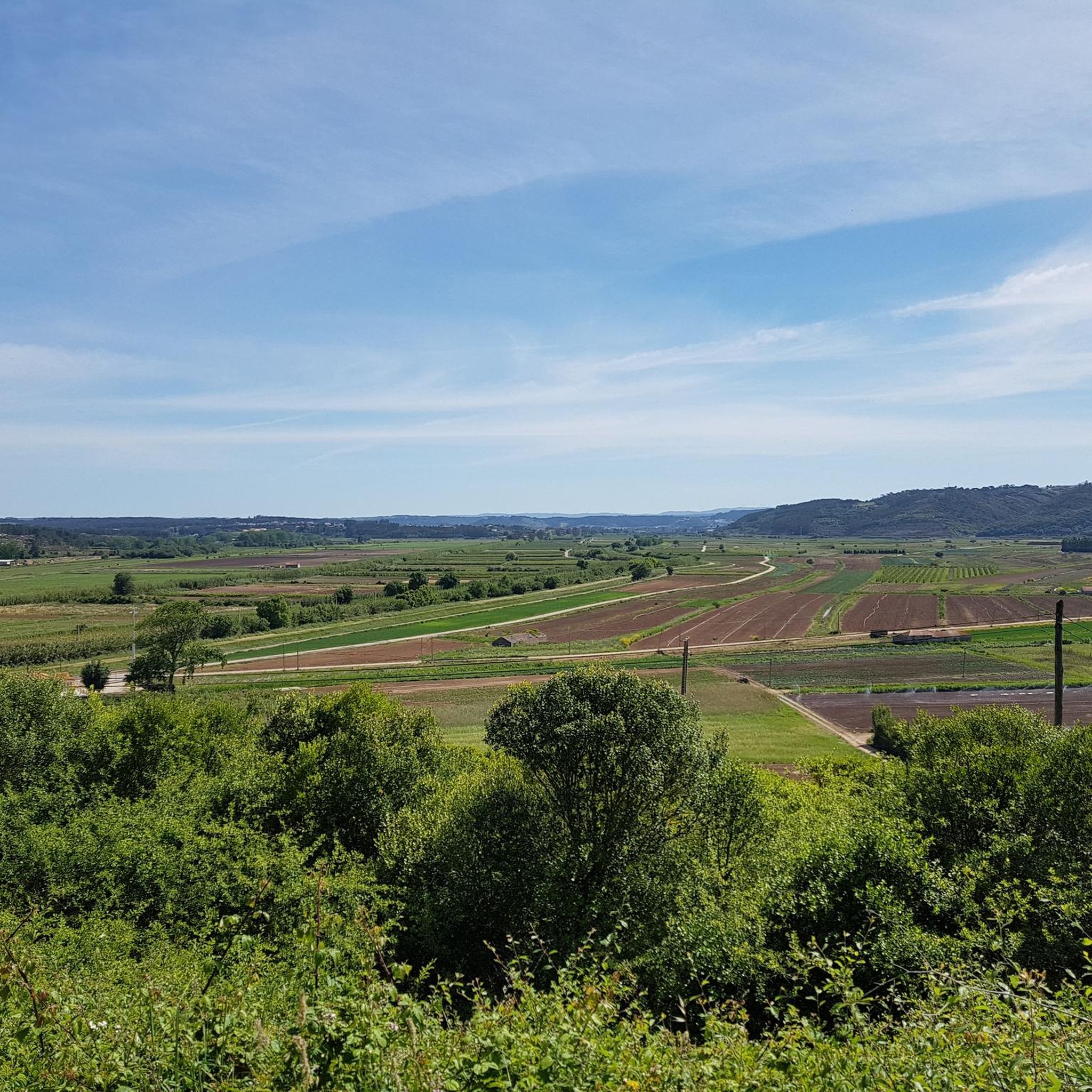
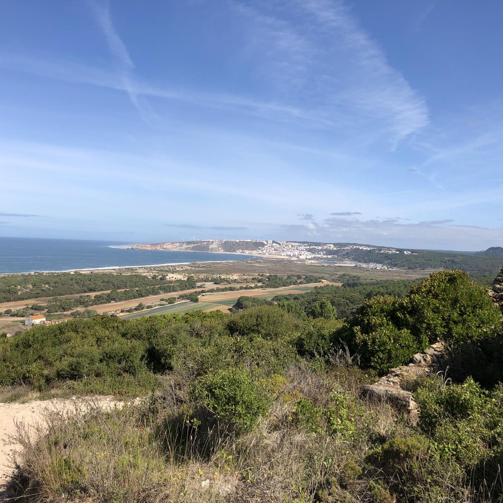
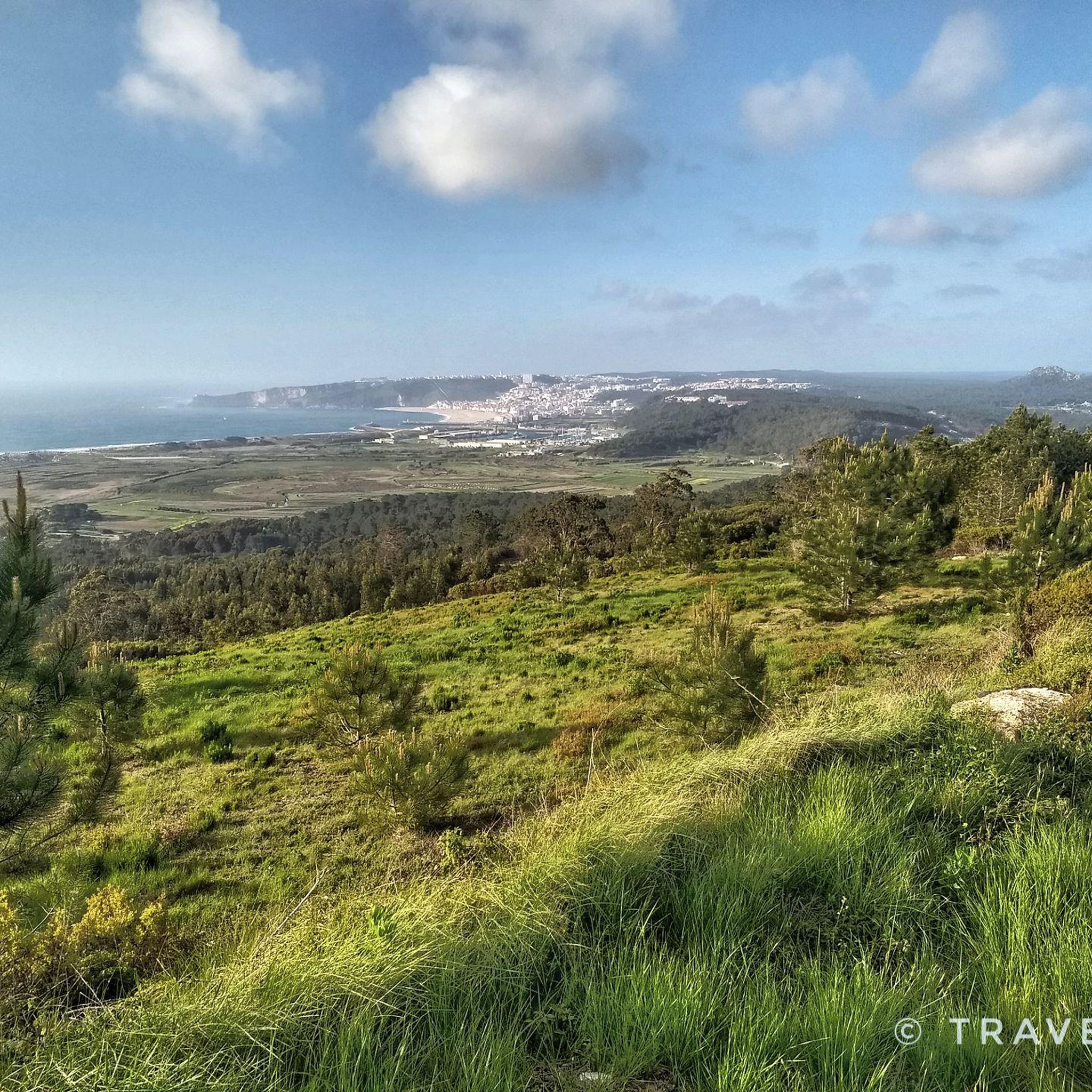
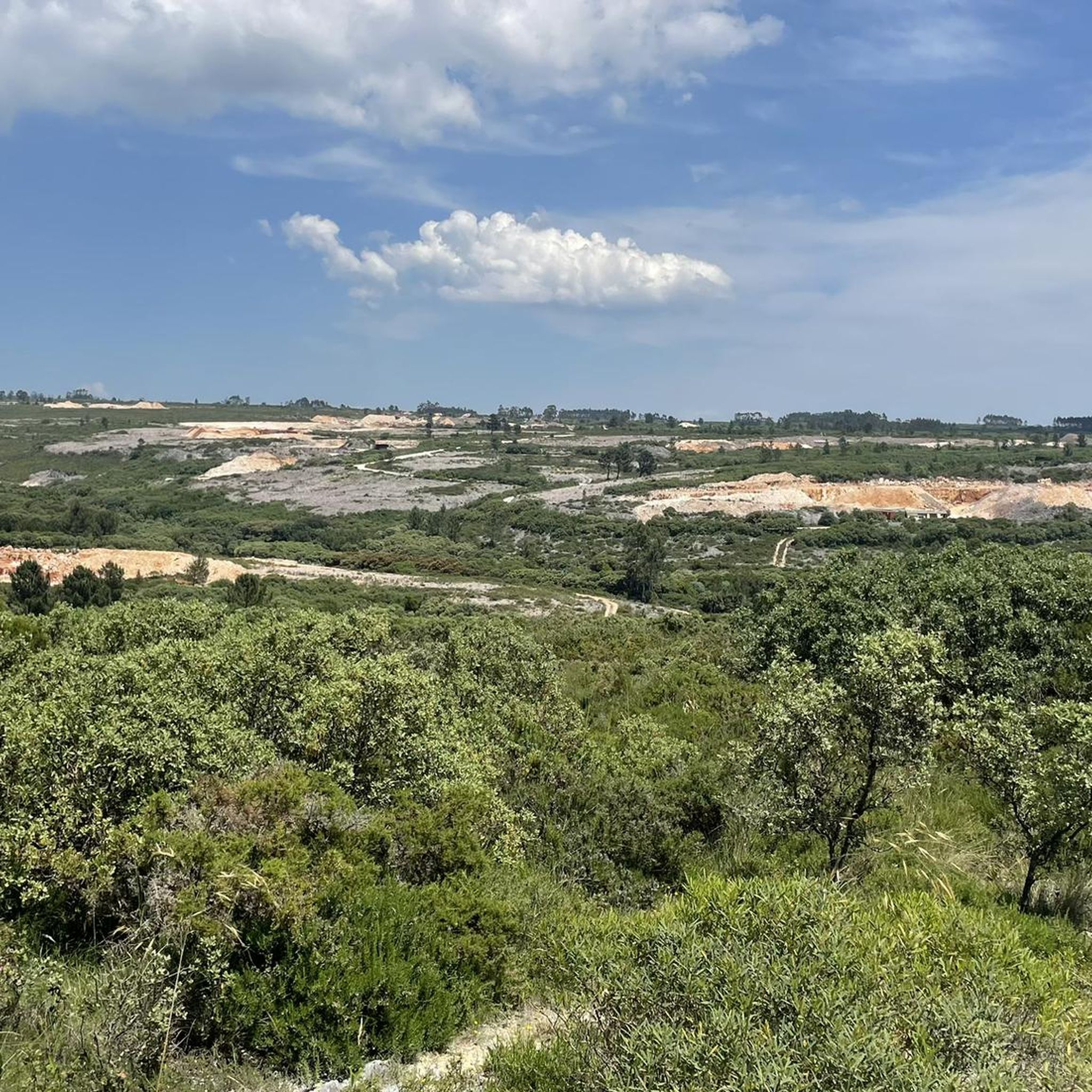
Tips from the Community


It was more by chance that we came across the hiking trail PR3. A very nice tour with many natural spectacles. However, we started from the parking space in Sao Bento and then followed the signs in the direction of Sao Bento. At the intersection of Costa de Alvados, we decided to stay up there on the heights. The PR3 path described starts in Alvados and ends there. However, since it is an estimated 150 meters down to Alvados and then up again, we stayed up. The view from up here is fantastic.
2
0
Frequently Asked Questions
What types of hiking trails can I find around Alcanede?
Alcanede offers a diverse range of hiking trails, primarily within the Serras de Aire e Candeeiros Natural Park. You'll find paths suitable for various skill levels, from easy walks to more challenging hikes. The landscape is characterized by its unique karstic features, including limestone ridges, dolines, and impressive geological formations like the Fórnea natural amphitheater.
Are there any easy or family-friendly hiking options in Alcanede?
Yes, Alcanede has several easy hiking options suitable for families. While specific 'easy' routes aren't detailed, the region offers a variety of paths, and you can find 3 trails classified as easy among the 21 available. These often provide a gentler introduction to the natural beauty of the park.
What are the typical lengths and durations of hikes around Alcanede?
Hikes around Alcanede vary in length and duration. For example, the View of Alvados – Alvados loop from São Bento is about 6.3 miles (10.2 km) and takes approximately 2 hours 55 minutes. Longer routes like the Hiking loop from São Bento cover about 8.5 miles (13.7 km) and can take around 4 hours 5 minutes.
What unique natural features or landmarks can I see while hiking in Alcanede?
The region is rich in natural and historical landmarks. You can explore the impressive Fórnea, one of Europe's largest natural amphitheatres, offering breathtaking views. The area is also known for its extensive cave systems, such as the Mira de Aire Caves, and unique geological formations like dolines. Don't miss the Fórnea Waterfall or the Cova da Velha cave.
Are there any circular hiking routes available in Alcanede?
Yes, many of the hiking trails around Alcanede are designed as loops, offering convenient circular routes. Examples include the View of Alvados – Alvados loop from São Bento and the Olho de Água de Alcobertas loop from Alcobertas, allowing you to start and finish at the same point.
What do other hikers say about the trails in Alcanede?
The hiking routes in Alcanede are highly rated by the komoot community, with an average score of 4.6 stars from over 170 reviews. Hikers often praise the varied terrain, the unique karstic landscapes, and the opportunities to explore the natural park's features.
Can I bring my dog on the hiking trails in Alcanede?
While specific regulations for dogs on trails within the Serras de Aire e Candeeiros Natural Park are not detailed, generally, dogs are welcome on many trails in Portugal, especially if kept on a leash. It's always advisable to check local signage or park guidelines for any specific restrictions before heading out with your pet.
What is the best time of year to go hiking in Alcanede?
The Serras de Aire e Candeeiros Natural Park, where Alcanede is located, can be enjoyed year-round. Spring and autumn offer pleasant temperatures and vibrant landscapes, ideal for hiking. Summers can be hot, so early mornings or late afternoons are recommended. Winters are generally mild, making it possible to hike, though some paths might be wet.
Are there any historical sites or cultural attractions to see near the hiking trails?
Absolutely. Beyond natural beauty, Alcanede offers historical context. You can visit the medieval Alcanede Castle, which has Roman foundations, or explore a Roman Bridge in the village. The unique Rio Maior Salt Pans, operational since 1177, also provide an interesting cultural and historical point of interest within the natural park.
Is public transport available to reach trailheads in Alcanede?
Information on specific public transport links directly to all trailheads is limited. It is generally recommended to have private transportation to access many of the more remote starting points within the Serras de Aire e Candeeiros Natural Park. However, some villages near trailheads might be accessible by local bus services.
Is parking available at the trailheads in Alcanede?
Parking is generally available near popular trailheads and villages within the Alcanede region and the natural park. While not explicitly detailed for every route, areas like Alcobertas and São Bento, which are common starting points for hikes, typically offer designated or informal parking spots.
Are there any waterfalls to discover on hikes around Alcanede?
Yes, the region features the Fórnea Waterfall, which can be incorporated into hiking routes. Trails like the Fórnea Waterfall loop from Alcaria are designed to showcase this impressive natural feature.
Most popular routes around Alcanede
Most popular attractions around Alcanede

Get inspired with the komoot mobile app


Explore more
Browse the best Hikes in other regions.
