Top 8 Running Trails around Bugalhos
4.0
(2)
340
runners
59
runs
Jogging around Bugalhos offers a diverse landscape for runners, characterized by significant ascents and varied terrain. The region features numerous hills and elevated viewpoints, providing challenging yet rewarding running experiences. Many routes traverse areas with notable elevation changes, making it suitable for those seeking a more demanding workout.
Best jogging routes around Bugalhos
- The most popular jogging route is Vale Garcia Ascent loop from Pedrógão, a 9.7 miles (15.7 km) trail that takes 2 hours 13 minutes to complete,…
Last updated: June 24, 2026
28
runners
15.7km
02:14
590m
590m
Hard run. Very good fitness required. Mostly paved surfaces. Suitable for all skill levels.
29
runners
56.4km
08:07
2,470m
2,470m
Hard run. Very good fitness required. Mostly paved surfaces. Suitable for all skill levels.

Sign up for free
13
runners
12.2km
01:36
400m
400m
Hard run. Very good fitness required. Mostly paved surfaces. Suitable for all skill levels.
9
runners
16.9km
02:33
820m
820m
Hard run. Very good fitness required. Mostly paved surfaces. Suitable for all skill levels.
9
runners
22.0km
03:14
870m
870m
Hard run. Very good fitness required. Mostly paved surfaces. Suitable for all skill levels.
Get access to more routes and recommendations from other explorers.
Sign up for free
Already have an account?
Our route recommendations are based on thousands of hikes, rides, and runs completed by other people on komoot.
Start today with a free account
Your next adventure awaits.
Login or Signup
Tips from the Community

Near the top of Cabeça Gorda, this viewpoint overlooks the Mira de Aire lagoons and the small town below. Here, a picnic area invites you to take a break: whether to stretch your legs in the sun or take shelter in the shade, depending on your body and the moment.
1
0
The Serra de Aire stands as the highest point of the Estremenho Limestone Massif, crowning its 678 metres at the geodesic vertex. Up here, the horizon opens up generously: to the south stretches the Tertiary Tagus Basin, lowered by the Arrife thrust and marked by ochre tones of sand and clay; to the west and southwest rise the Santo António plateau and the Serra dos Candeeiros. And if the sky cooperates, the view also reaches Montejunto, the sea in the distance and, to the north, the highlands of São Mamede up to Ourém and Fátima.
1
0
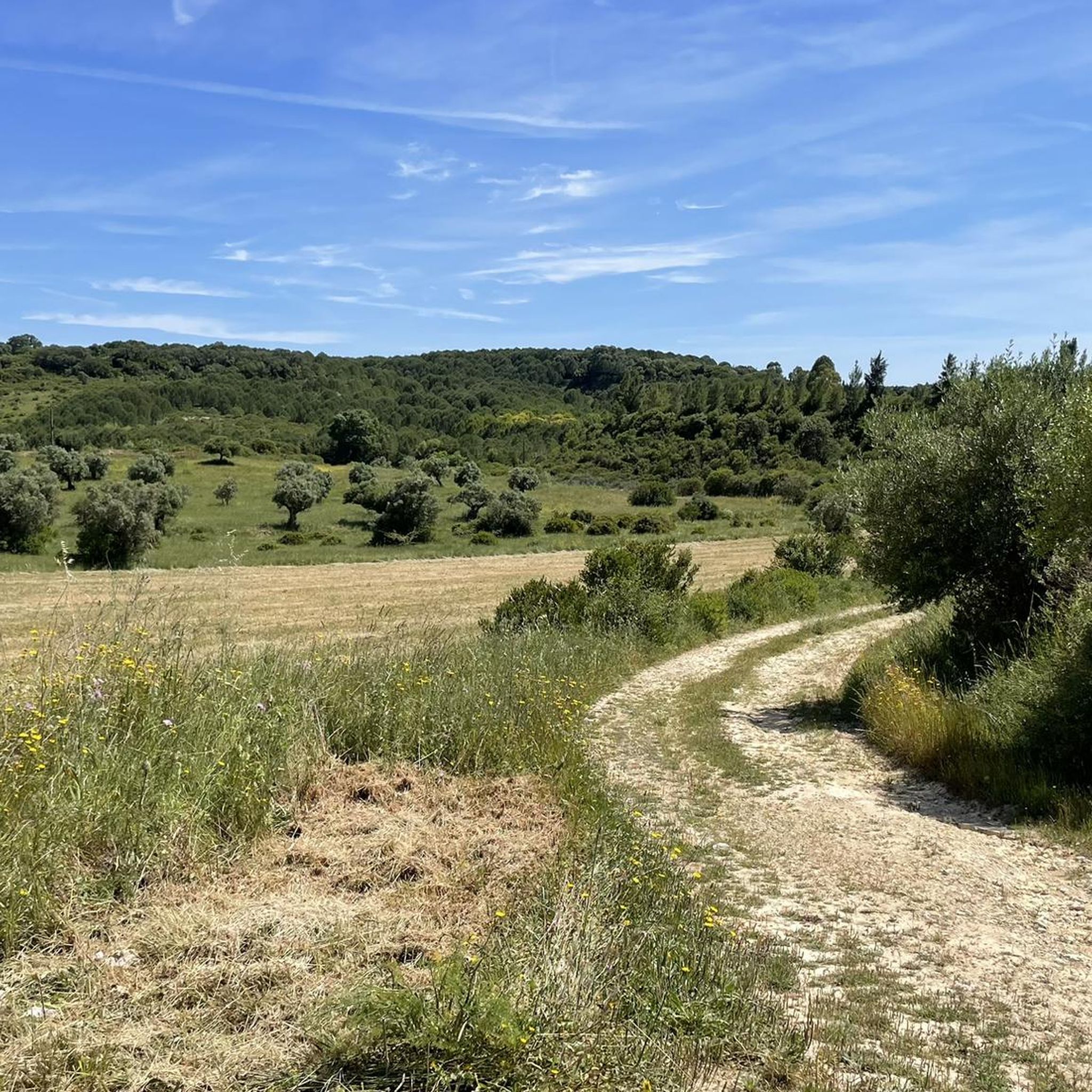
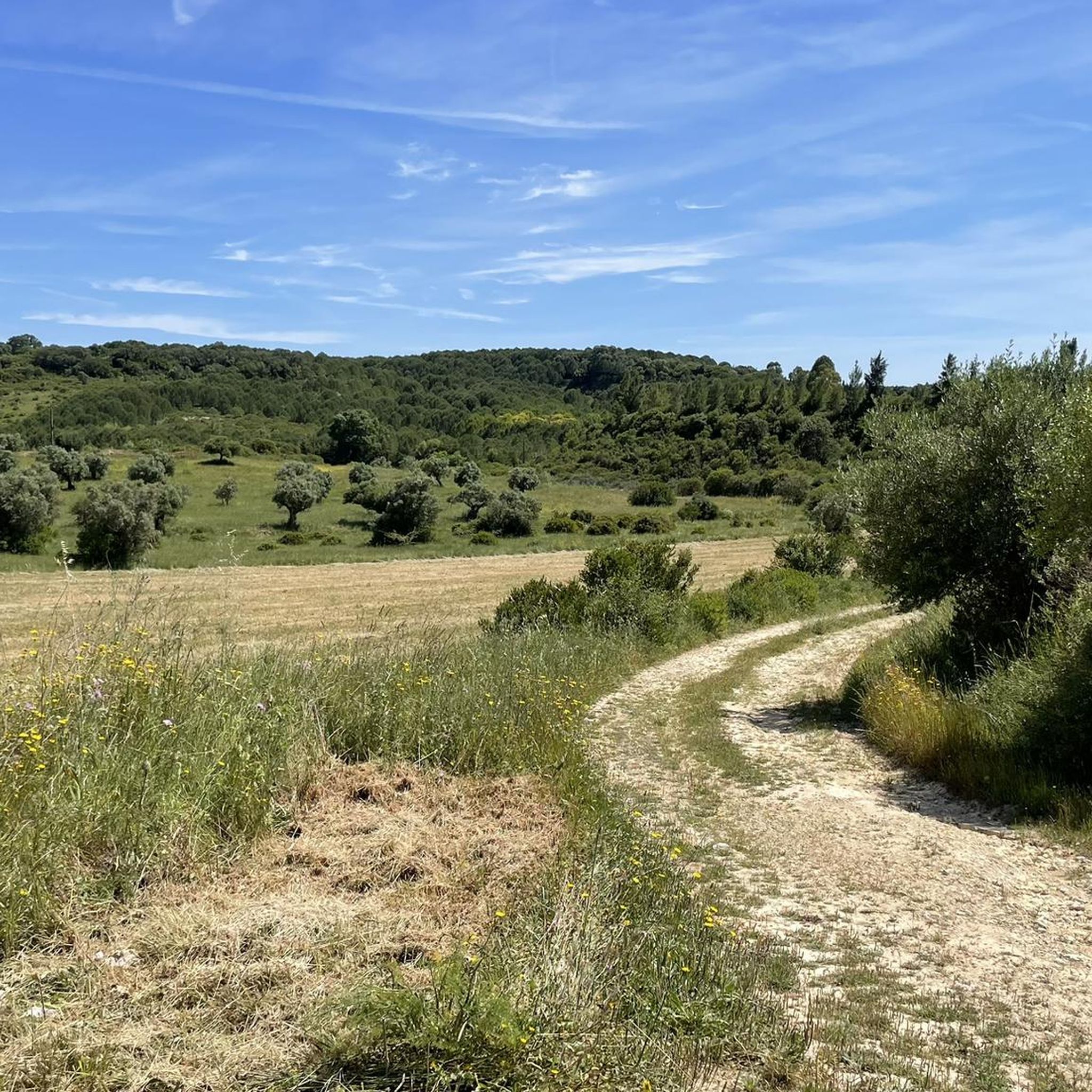
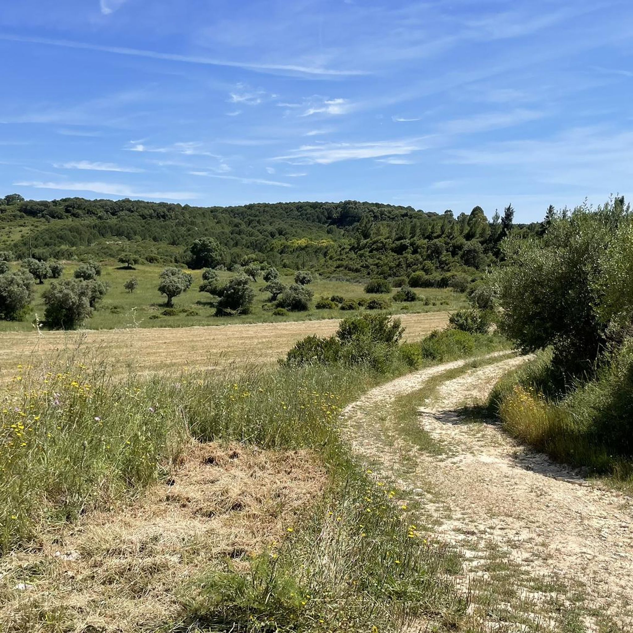
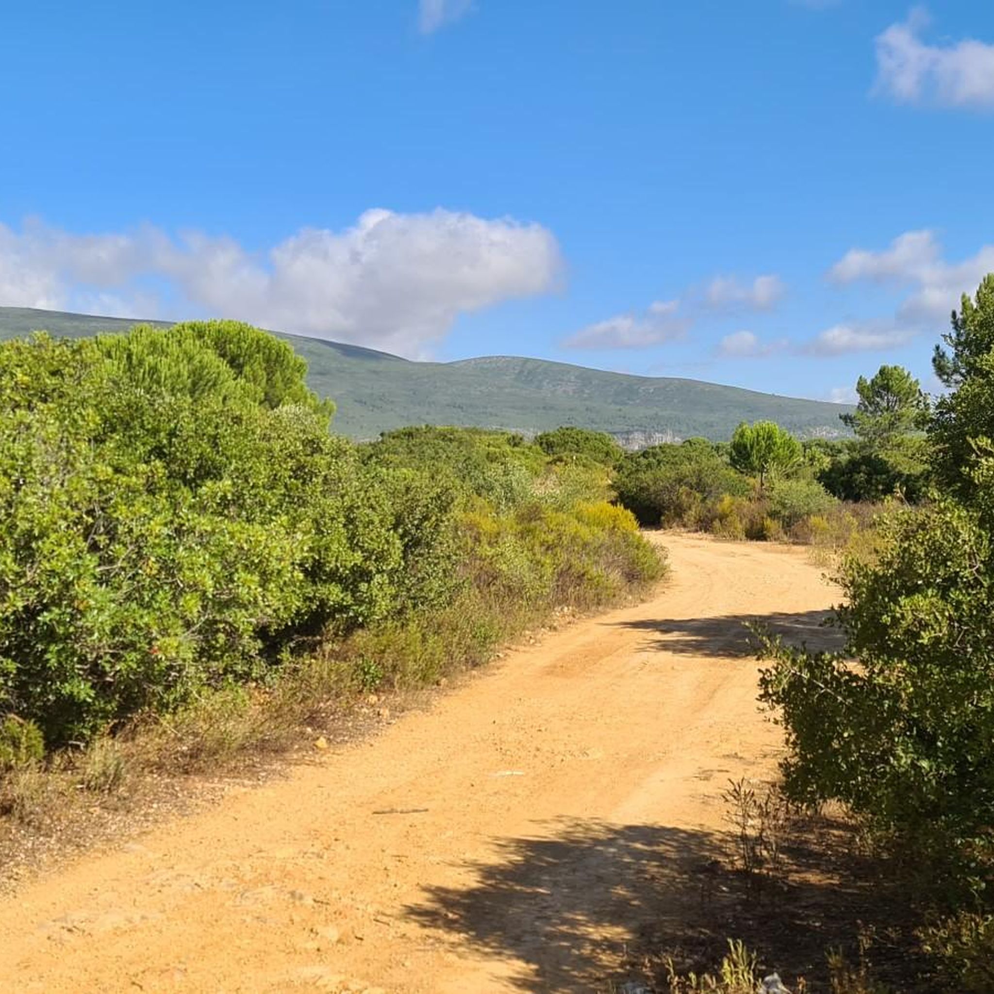
The Garcia Valley hides a narrow and wild trail, where the bush almost blocks the path, but that is precisely what makes it special for runners. The classic climb is a real test for the legs: 200 meters of elevation gain in just one kilometer. Short, tough and full of charm.
1
1
Frequently Asked Questions
What kind of running terrain can I expect around Bugalhos?
Running around Bugalhos is characterized by a diverse and often challenging landscape. You'll encounter significant ascents, varied terrain, and numerous hills, making it ideal for those seeking a more demanding workout. The routes frequently feature notable elevation changes and offer scenic viewpoints.
How many running routes are available in the Bugalhos area?
There are over 60 running routes available around Bugalhos, offering a wide range of options for exploring the region's hilly landscape.
Are there any easy running trails for beginners in Bugalhos?
The running routes in Bugalhos are primarily designed for experienced runners, with 33 moderate and 31 difficult trails. There are currently no easy routes listed, indicating the region's challenging topography.
Can I find circular running routes in Bugalhos?
Yes, many of the running routes around Bugalhos are circular. For example, you can explore the challenging Cabeço Morto loop from Minde, which covers 7.6 miles (12.2 km) through hilly terrain.
Are the running trails around Bugalhos suitable for dogs?
While specific regulations for dogs on trails can vary, many outdoor areas in Portugal are generally dog-friendly, especially on leash. Given the natural and often rural character of the Bugalhos routes, it's likely that well-behaved dogs on a leash would be welcome. Always ensure your dog is comfortable with challenging, hilly terrain.
What are some points of interest or landmarks I can see while running near Bugalhos?
The region offers several interesting sights. You might encounter natural monuments like the Peão Fountain - Monsanto or the impressive Grutas de Mira de Aire. For panoramic views, consider routes passing by the Geodetic Vertex of Serra de Aire or the View of the Polje de Minde.
What do other runners say about the trails in Bugalhos?
The running routes in Bugalhos are highly regarded by the komoot community, holding an average rating of 4.0 stars from 2 reviews. Runners often appreciate the challenging ascents, scenic viewpoints, and varied hilly landscapes that define the area.
Are there any longer running routes for endurance training?
Yes, Bugalhos offers extensive routes for endurance. The Cabeça Gorda Viewpoint – Vale Garcia Ascent loop from Minde is a particularly challenging option, spanning 35.0 miles (56.4 km) with significant elevation changes, providing panoramic views from elevated points.
When is the best time of year to go running in Bugalhos?
The best time to go running in Bugalhos is typically during the spring (March to May) and autumn (September to November) months. During these periods, the weather is generally milder and more pleasant, avoiding the intense heat of summer and the cooler, potentially wetter conditions of winter. This allows for more comfortable enjoyment of the region's hilly trails.
Are there any running routes that offer views or lead to viewpoints?
Absolutely. The region is known for its elevated viewpoints. The Cabeça Gorda Viewpoint – Vale Garcia Ascent loop from Minde, for instance, offers extensive panoramic views. Many routes traverse areas with significant elevation, providing rewarding vistas of the surrounding landscape.
What is a good running route for a challenging workout with substantial elevation gain?
For a challenging workout, consider the Vale Garcia Ascent loop from Pedrógão. This 9.7-mile (15.7 km) trail features substantial elevation gain and is a popular choice for runners seeking a demanding experience.
Are there any running trails near a river or water source in Bugalhos?
While not directly along a river for the entire route, you can find attractions related to water sources nearby. The Source of the Alviela River (Olhos de Água) is a notable highlight in the vicinity, and some routes might pass through areas with streams or springs.
Most popular routes around Bugalhos
Most popular attractions around Bugalhos

Get inspired with the komoot mobile app


Explore more
Browse the best Running Trails & Routes in other regions.
