The best cycling routes around Souto
4.8
(6)
75
riders
6
rides
Touring cycling around Souto offers routes through diverse landscapes, characterized by river valleys, national forests, and significant elevation changes. The region's terrain includes both moderate and challenging climbs, with routes often passing by dams and riverside areas. These features provide varied experiences for cyclists seeking different levels of difficulty.
Best touring cycling routes around Souto
- The most popular touring cycling route is Zêzere River Valley – Castelo de Bode Dam loop from Martinchel, a 29.8 miles (48.0 km) trail…
Last updated: July 8, 2026
4.3
(3)
18
riders
43.2km
02:42
400m
400m
Moderate bike ride. Good fitness required. Mostly paved surfaces. Suitable for all skill levels.
5.0
(2)
14
riders
37.0km
02:23
440m
440m
Moderate bike ride. Good fitness required. Mostly paved surfaces. Suitable for all skill levels.

Sign up for free
10
riders
48.0km
03:07
500m
500m
Hard bike ride. Very good fitness required. Mostly paved surfaces. Suitable for all skill levels.
5.0
(1)
6
riders
80.7km
04:55
600m
600m
Hard bike ride. Very good fitness required. Mostly paved surfaces. Suitable for all skill levels.
3
riders
53.9km
03:27
670m
670m
Hard bike ride. Very good fitness required. Mostly paved surfaces. Suitable for all skill levels.
Our route recommendations are based on thousands of hikes, rides, and runs completed by other people on komoot.
Start today with a free account
Your next adventure awaits.
Login or Signup
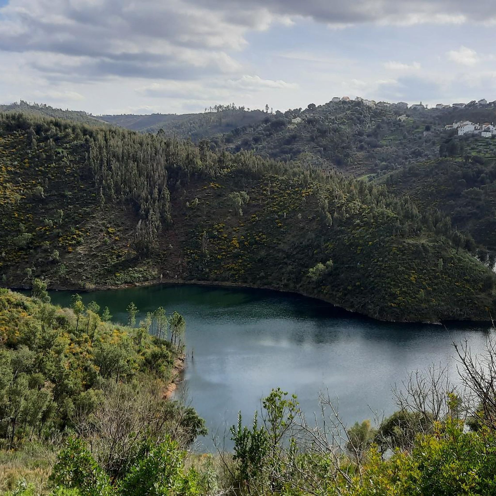
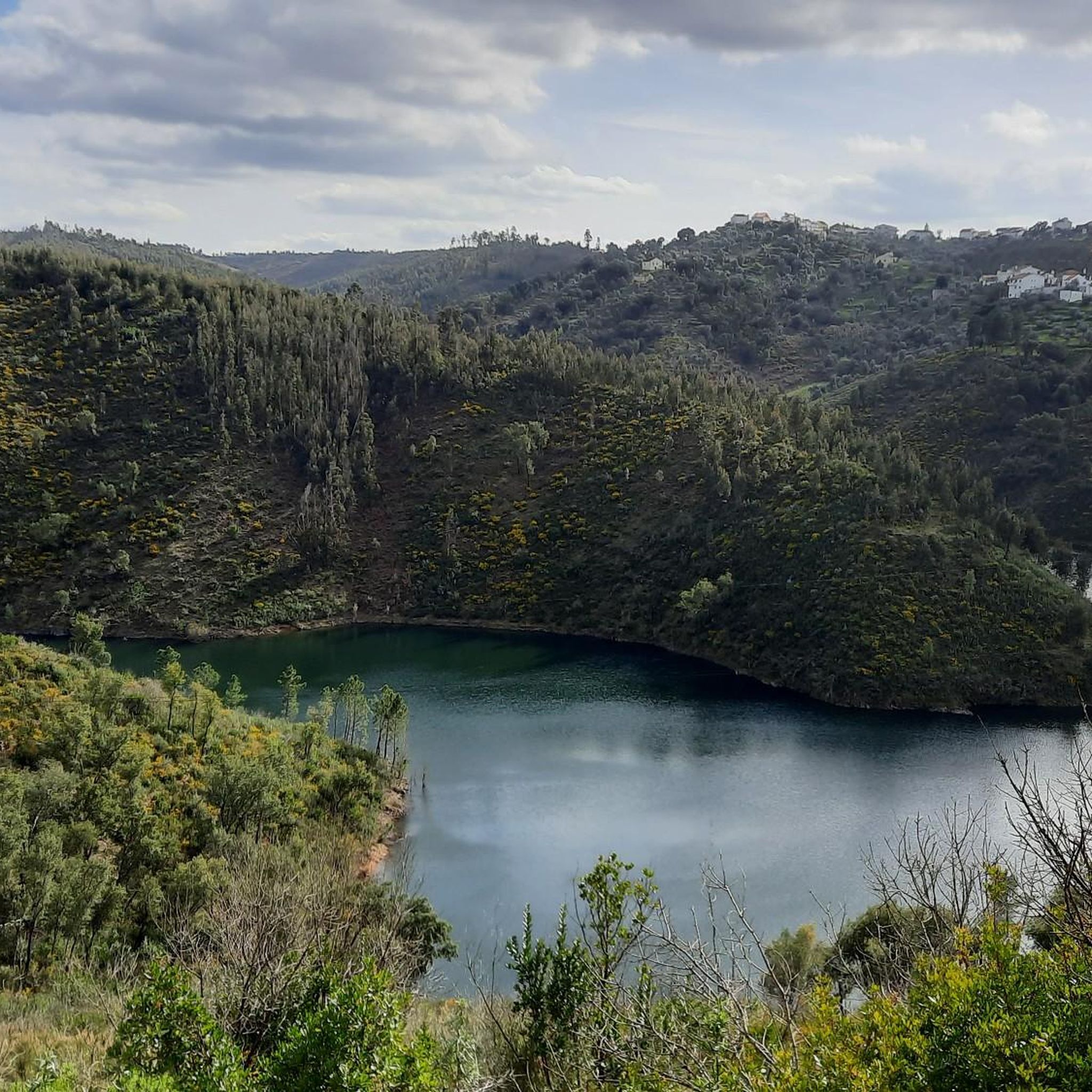
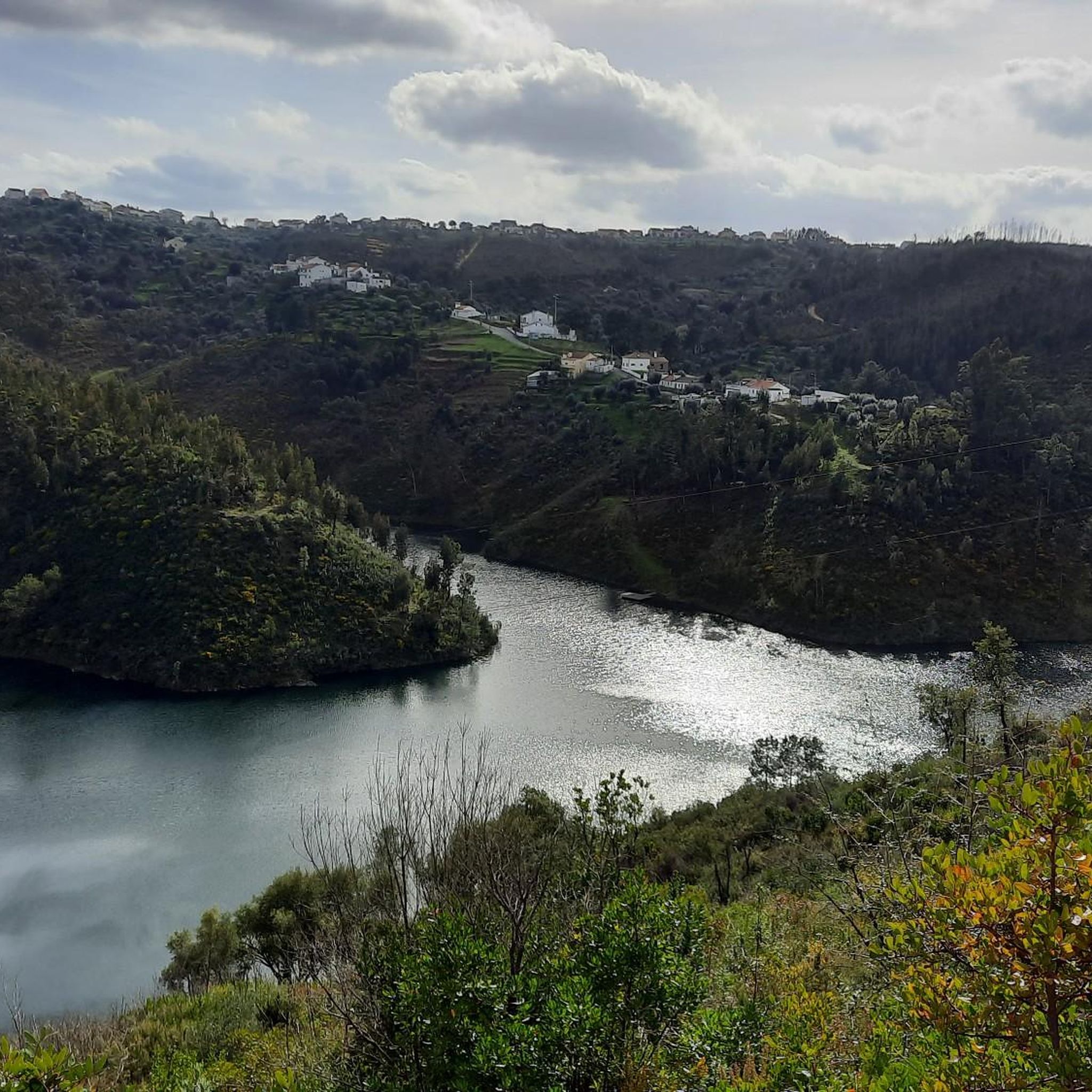

Tips from the Community

Summer hours are from 10:00 AM to 6:00 PM and winter hours are from 9:00 AM to 5:00 PM. Don't miss visiting this place full of history where you can visit the Almeida Pantheon, currently a museum that you can visit and learn about the history of the city. There you can also climb the Ménage Tower from where you can glimpse a fantastic landscape and also stroll through the beautiful castle garden. You can explore the entire historic area of the centuries-old city where you will find beautiful gardens and excellent places to eat, stay overnight and even buy regional products in local shops.
1
0

Take a ride on one of the horses that the town is famous for!
1
0

This is a horse village, you can go anywhere with horses and bicycle. Traffic signs have been adapted accordingly
13
0


Bridge accessible to cyclists and offering a magnificent view of the Tejo.
19
0

On some parts the track follows the slopes of the hill. Be careful and do not fall. It is probably easier in the descending direction. It in the ascending direction you will see the Almourol castle getting closer as you climb the hill.
1
0

Quiet road, almost no traffic with a lot of forest and the river. Nice to cycle
2
1

The João Joaquim Isidro dos Reis Bridge, popularly known as Ponte da Chamusca, is located over the Tagus River on National Road 243, and links the village of Chamusca with the village.
7
0
Frequently Asked Questions
How many touring cycling routes are available in Souto?
Souto offers a selection of around 10 touring cycling routes, catering to various skill levels. These routes explore diverse landscapes including river valleys and national forests.
What kind of terrain can I expect on touring cycling routes in Souto?
The terrain in Souto is characterized by river valleys, national forests, and significant elevation changes. You'll encounter both moderate and challenging climbs, with routes often passing by dams and scenic riverside areas.
Are there any challenging touring cycling routes in Souto?
Yes, Souto features several challenging routes for experienced touring cyclists. For instance, the Zêzere River Valley – Castelo de Bode Dam loop from Martinchel is a difficult 29.8-mile (48.0 km) trail known for its river valley and dam views. Another demanding option is the Mata Nacional dos Sete Montes – Castelo de Bode Dam loop from Martinchel, which traverses a national forest over 34.3 miles (55.2 km).
Are there any moderate touring cycling routes suitable for less experienced riders?
While many routes in Souto feature significant elevation, there are moderate options available. The Lomba S. Tiago loop from Sardoal is a moderate 20.9-mile (33.7 km) route that offers a less strenuous experience while still showcasing the region's beauty.
What natural features or landmarks can I see along the touring cycling routes in Souto?
Many routes in Souto offer views of impressive natural features and landmarks. You might encounter the Zêzere river, the Castelo de Bode Dam, and national forests. Historic sites like Abrantes Castle also provide interesting points of interest.
Are there any circular touring cycling routes in Souto?
Yes, many of the touring cycling routes in Souto are designed as loops, allowing you to start and end at the same point. Examples include the Praia Fluvial de Abrantes loop from Abrantes (São Vicente e São João) e Alferrarede, which covers 35.4 miles (57.0 km) through riverside landscapes, and the Moinhos de Entrevinhas loop from Sardoal.
What do other cyclists say about touring cycling in Souto?
The komoot community highly rates touring cycling in Souto, with an average score of 4.8 stars from 6 reviews. Cyclists often praise the diverse landscapes, including river valleys and national forests, and the challenging yet rewarding climbs.
Is Souto suitable for family-friendly touring cycling?
While Souto's routes often feature significant elevation changes and are rated moderate to difficult, some sections along river valleys might be more suitable for families with older children or those accustomed to varied terrain. It's advisable to check individual route profiles for specific difficulty and elevation details.
Can I find places to eat or stay near the touring cycling routes?
The region around Souto, particularly within the broader Alentejo area, offers various amenities. While specific cafes or accommodation directly on every route are not detailed, you can often find facilities in nearby towns and villages. For example, the Castelo do Bode Campsite is a notable facility in the area.
What is the best time of year to go touring cycling in Souto?
Given that Souto is likely located in Portugal, the spring (April to June) and autumn (September to October) months generally offer the most pleasant weather for touring cycling. Temperatures are milder, and the landscapes are often at their most vibrant, making for a more comfortable and scenic ride than the hotter summer months.
Are there any routes that pass through national forests?
Yes, several routes in Souto incorporate national forests into their paths. The Mata Nacional dos Sete Montes – Castelo de Bode Dam loop from Martinchel is a prime example, offering cyclists the chance to ride through the scenic Mata Nacional dos Sete Montes.
Most popular routes around Souto
Most popular attractions around Souto

Get inspired with the komoot mobile app


Explore more
Browse the best Cycling routes in other regions.
