The 7 Most Amazing Peaks around Augustdorf
Best mountain peaks around Augustdorf are situated within the rolling hills and dense forests of the Teutoburg Forest. Augustdorf geographical features include elevated areas that are popular for hiking and provide scenic views. The region offers accessible and rewarding elevated landscapes for nature appreciation and outdoor activities, including numerous hiking trails Augustdorf. The maximum elevation in Augustdorf is approximately 353 meters.
Best mountain peaks around Augustdorf
- The most popular mountain peaks is Bielstein Transmitter, a man-made monument that functions…
Last updated: October 4, 2026
Bielstein Transmitter
Highlight • Monument
Translated by Google •
Tip by

Lewenberg
Highlight • Summit
Translated by Google •
Tip by

Sign up now to discover places like this
Get recommendations on the best single tracks, peaks, & plenty of other exciting outdoor places.
Hermannsberg Mountain Bike Trail
Highlight • Trail
Translated by Google •
Tip by

Hellegrundsberg
Highlight (Segment) • Summit
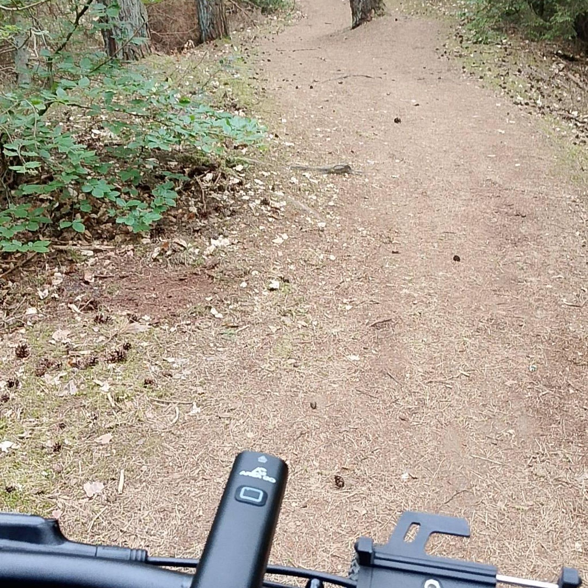
The path splits high up - so there are various descents - it is steep and rocky downhill.
Translated by Google •
Tip by
Barnacken Summit
Highlight • Summit
Translated by Google •
Tip by

Sign up for free to discover even more peaks around Augustdorf.
Already have an account?
Start today with a free account
Your next adventure awaits.
Tips from the Community

There is nothing to see here. I did spot a deer, though.
0
0


Quite challenging. Not for beginners :-)
1
0

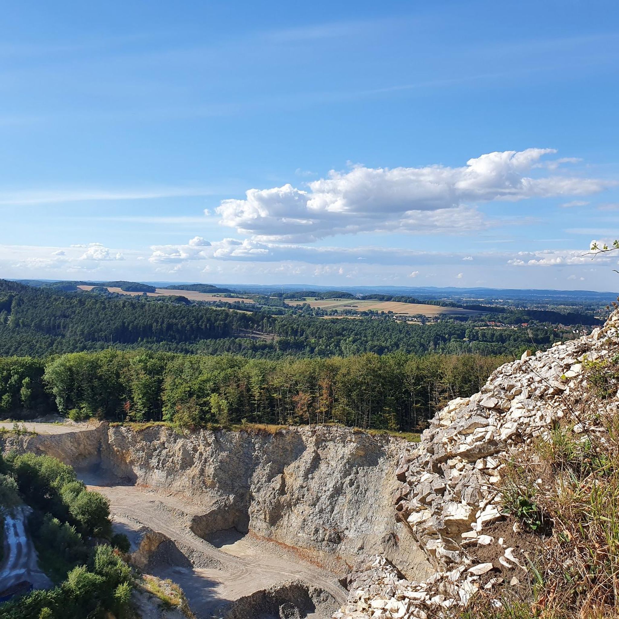
At 446 meters, the Barnacken is the highest peak in the Teutoburg Forest. It lies inconspicuously in a beautiful forest, about 150 meters from the trail.
0
0

The Lewenberg is a 312.6 m above sea level mountain in the Teutoburg Forest near Bielefeld-Lämershagen and, after the Auf dem Polle (320 m), the second highest mountain in Bielefeld. The Lewenberg is located in the Eastern Teutoburg Forest nature reserve. To the north of it is the Lietegge (285 m), to the east is the Maakenberg (286.5 m), to the south is the “Markengrund” weekend house area and to the west is the Auf dem Polle (320 m), as well as the A 2. On the eastern summit of the Lewenberg are the remains of the Löwenburg. Source: https://de.wikipedia.org/wiki/Lewenberg_(Teutoburger_Wald)
1
0


The Teutoburg Forest transmitter - popularly known as the "Bielstein transmitter" - belongs to the WDR and is located on the Bielstein mountain, 393 m above sea level. After two years of construction, a 298 m high tubular steel mast was put into operation in 1970. On January 15, 1985, ice and gusty winds tore a sleeve and the transmitter fell over. It was then replaced in 1986 by a 302 m high, guyed steel truss mast.
4
1

Frequently Asked Questions
What are the highest points in the Augustdorf region?
The highest point in the Teutoburg Forest, near Augustdorf, is Barnacken at 446.4 meters. Other significant elevated areas include Obere Langenberg (418.8 meters) and the Bielstein Transmitter, which sits on a mountain 393 meters above sea level.
Are there challenging mountain trails for experienced hikers near Augustdorf?
Yes, for those seeking a challenge, Auf dem Polle, the highest peak in Bielefeld at 320 meters, features a steep, rooty, and stony ascent. Similarly, Hellegrundsberg offers a long mountain route with significant ups and downs, including steep and rocky descents.
What kind of views can I expect from the mountain peaks around Augustdorf?
Many elevated areas offer rewarding views. From the Bielstein Transmitter, you can enjoy good views of the surrounding countryside. The wooded summit of Lewenberg, despite its steep ascent, provides a beautiful vista. Barnacken, as the highest point in the Teutoburg Forest, is known for its panoramic views.
Are there mountain biking opportunities near Augustdorf's peaks?
Absolutely. The Hermannsberg Mountain Bike Trail is a challenging route with significant elevation changes, including a long stretch over the ridge and reaching over 360 meters in elevation. It features a well-built gap and exciting sections with berms.
What cultural and historical landmarks are close to the elevated areas?
The region around Barnacken is rich in cultural attractions. You can visit the striking Externsteine rock formations and the historic Hermannsdenkmal (Hermann Monument), which commemorates a significant Roman battle. These sites can be combined with natural exploration.
What natural features, besides peaks, can be explored in the Augustdorf area?
Beyond the elevated areas, Augustdorf provides access to unique nature reserves like the Oelbachtal and the Augustdorf dune field. The Silberbachtal, with its picturesque Silberbach Waterfall, is also a notable natural feature, offering diverse landscapes of valleys and canyons.
Are there family-friendly hiking options around Augustdorf?
Yes, Augustdorf offers several family-friendly options. The Bielstein Transmitter is categorized as family-friendly. Additionally, the Augustdorf dune field features well-marked trails with informative stations, making it suitable for families. For easier hikes, consider routes from the Easy Hikes around Augustdorf guide, such as the Augustdorf Dune Trail loops.
What is the best time of year to visit the mountain peaks near Augustdorf?
The region's elevated areas offer beauty in every season. Spring brings lush greenery, while autumn showcases vibrant foliage. Hiking is popular throughout the warmer months, but even in winter, the landscape can be appealing, especially for those prepared for colder conditions. Always check local weather before your visit.
Where can I find hiking routes that include these mountain peaks?
Komoot offers various routes that incorporate the elevated areas. For more challenging options, explore the Mountain Hikes around Augustdorf guide, which includes routes like the 'Forest Descent to Donoperteich – Bielstein Transmitter loop'. For easier walks, refer to the Easy Hikes around Augustdorf guide.
Are the trails around Augustdorf's peaks dog-friendly?
Many trails in the Augustdorf area are suitable for dogs. For instance, the area around the Bielstein Transmitter is noted as dog-friendly. Generally, the dense forests and nature reserves provide excellent environments for walks with pets, though it's always advisable to keep dogs on a leash, especially in nature protection areas.
What do visitors enjoy most about the mountain peaks around Augustdorf?
Visitors appreciate the diverse landscape, from dense forests to scenic viewpoints. The combination of natural beauty with cultural and historical sites like the Hermannsdenkmal and Externsteine is a major draw. The variety of hiking and biking trails, catering to different fitness levels, also receives positive feedback from the komoot community.
Are there any specific tips for hiking the Lewenberg summit?
The Lewenberg summit, at 312 meters, is known for its very steep ascent, especially the last few meters. However, hikers are rewarded with a beautiful view from the top. There's also a great path along the ridge that is highly recommended.
Can I find running trails near the elevated areas of Augustdorf?
Yes, the region offers various running trails. The Running Trails around Augustdorf guide features routes like the 'Furlbach – Furlbach Valley Nature Reserve loop' and other options that traverse the varied terrain of the Teutoburg Forest, providing excellent conditions for jogging.
Most popular routes around Augustdorf
Most popular attractions around Augustdorf

Get inspired with the komoot mobile app


Explore more
See even more amazing summits around Augustdorf with these guides:
