The best road cycling routes around Mesquinhata
5.0
(4)
278
riders
18
rides
Road cycling around Mesquinhata features routes through a landscape characterized by significant elevation changes, river valleys, and mountainous areas. The region includes challenging climbs and descents, with routes often passing through historical villages and offering views of natural features. Road cyclists can expect varied terrain, from moderate ascents to demanding mountain passes.
Best road cycling routes around Mesquinhata
- The most popular road cycling route is View of Ponte de São Gonçalo – St. Gonçalo Bridge loop from Juncal, a…
Last updated: July 15, 2026
48
riders
45.0km
02:16
660m
660m
Moderate road ride. Good fitness required. Mostly well-paved surfaces and easy to ride.
29
riders
62.6km
03:21
1,150m
1,150m
Hard road ride. Very good fitness required. Mostly well-paved surfaces and easy to ride.

Sign up for free
18
riders
136km
08:01
3,300m
3,300m
Hard road ride. Very good fitness required. Mostly well-paved surfaces and easy to ride.
5.0
(1)
11
riders
72.0km
03:51
1,420m
1,420m
Hard road ride. Very good fitness required. Mostly well-paved surfaces and easy to ride.
9
riders
80.8km
03:58
1,100m
1,100m
Hard road ride. Very good fitness required. Mostly well-paved surfaces and easy to ride.
Get access to more routes and recommendations from other explorers.
Sign up for free
Already have an account?
Our route recommendations are based on thousands of hikes, rides, and runs completed by other people on komoot.
Start today with a free account
Your next adventure awaits.
Login or Signup
Popular around Mesquinhata

Tips from the Community

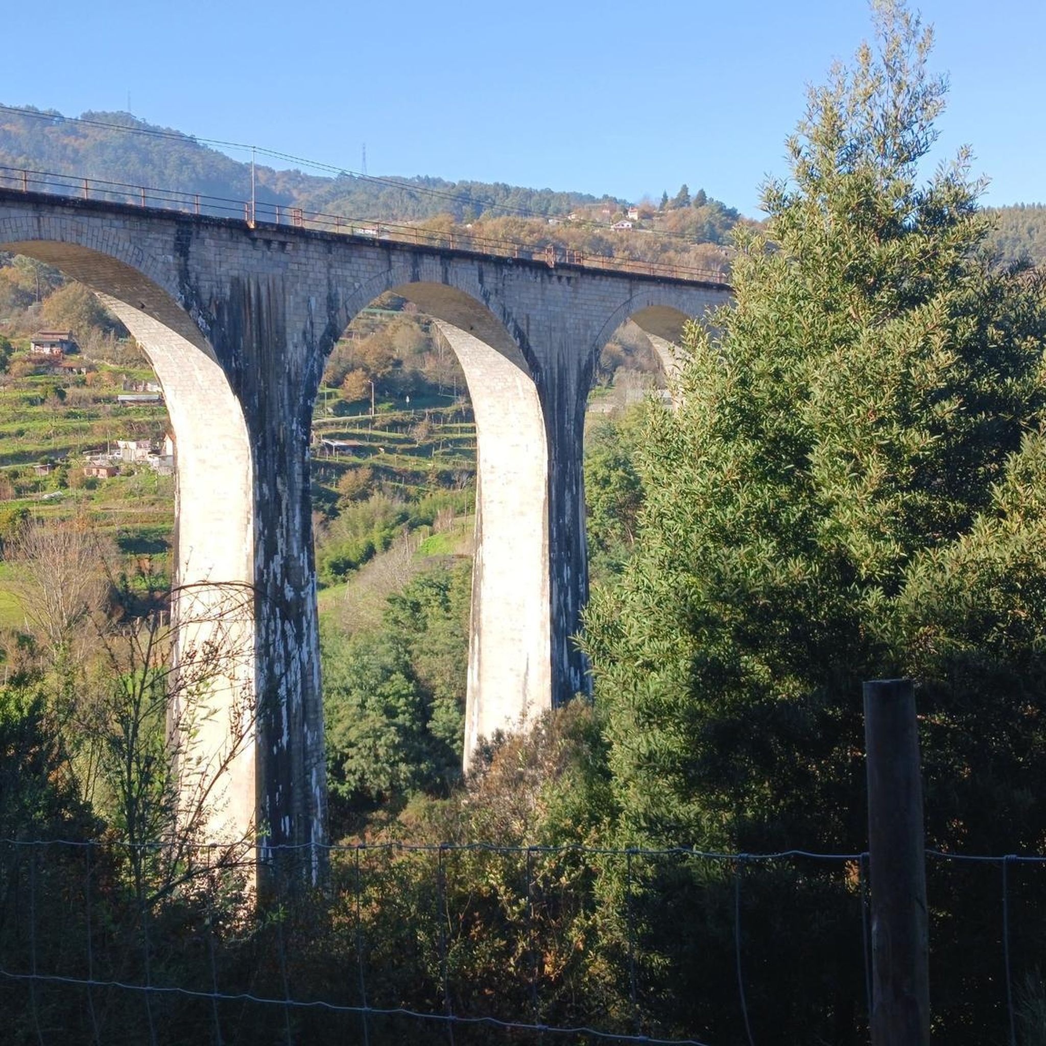
A bridge with a horizontal deck over three unequal round arches, the central one being the largest. The pillars have triangular buttresses upstream and downstream. The parapet protecting the bridge deck rests on a carved tubular cornice. Crowning the buttresses, four semicircular balconies with stone benches open onto the deck. At each end, the bridge boasts two pairs of faceted Baroque spires resting on small spheres.
2
0


Small narrow streets to discover in the not so small village
2
2

At Portas de Montemuro, the landscape stretches out without limits. Here, tables and benches invite you to take a break and enjoy the view, while the national road 321, popular with cyclists, marks the 1,215 metres of altitude. The highest peak of the Montemuro mountain range, at 1,381 metres, is nearby, to the east. Nearby, the ruins of the Wall of Portas de Montemuro preserve echoes of a distant past. Mentioned in the Inquiries of 1258, they reveal traces of an ancient fortified settlement from the Iron Age, possibly linked to the Castro culture. Later, the site was reused by the Romans and, at the time of the Reconquista, by D. Afonso Henriques, the first king of Portugal.
0
0

Baião is famous for its green and hilly landscapes that extend to the Douro River. It is located in a predominantly rural region, known for the production of Vinho Verde and citrus fruits. It offers an authentic experience of traditional Portugal, with a rich natural and cultural heritage and exquisite local gastronomy.
0
0

This church is actually a monastery, a Dominican monastery. It is dedicated to Blessed Gonçalo, who is also the patron saint of this town. The monastery was built in the 16th century, and parts of it now serve as the town hall and a museum. It's very sustainable.
5
2
At Portas de Montemuro, the landscape stretches out without limits. Here, tables and benches invite you to take a break and enjoy the view, while the national road 321, popular with cyclists, marks the 1,215 metres of altitude. The highest peak of the Montemuro mountain range, at 1,381 metres, is nearby, to the east. Nearby, the ruins of the Wall of Portas de Montemuro preserve echoes of a distant past. Mentioned in the Inquiries of 1258, they reveal traces of an ancient fortified settlement from the Iron Age, possibly linked to the Castro culture. Later, the site was reused by the Romans and, at the time of the Reconquista, by D. Afonso Henriques, the first king of Portugal.
1
0
Very nice cafe on the Ponte de São Gonçalo. Here you can find all the local specialties such as Brisas do Tomega, Papos de Anjo, Foguetes or Bolo de S. Gonçalo. In the cafe you can walk to the river side and enjoy the uninterrupted view of the Rio Tamega and the bridge. When the weather is nice there are also outdoor seats.
14
0
Frequently Asked Questions
What kind of terrain can I expect on road cycling routes around Mesquinhata?
Road cycling around Mesquinhata is characterized by significant elevation changes, river valleys, and mountainous areas. You can expect challenging climbs and descents, with routes often passing through historical villages and offering views of natural features. The terrain is varied, from moderate ascents to demanding mountain passes.
Are there any easy or beginner-friendly road cycling routes in Mesquinhata?
The road cycling routes in Mesquinhata are generally geared towards experienced cyclists. There are no routes classified as easy. However, there are 5 moderate routes available, which offer a less demanding option compared to the 14 difficult routes. An example of a moderate route is the View of Ponte de São Gonçalo – St. Gonçalo Bridge loop from Juncal.
What are some of the more challenging road cycling routes in the Mesquinhata region?
Mesquinhata offers 14 difficult road cycling routes for experienced riders. Notable challenging routes include the Church of Salvador de Tabuado – Igreja de Santa Maria loop from Soalhães, which features over 3,700 feet (1,100 m) of climbing, and the extensive Portas de Montemuro – Serra de Montemuro loop from Mosteirô, leading through the Serra de Montemuro mountain range.
How long do road cycling routes in Mesquinhata typically take to complete?
The duration of road cycling routes in Mesquinhata varies significantly based on distance and elevation. For example, the moderate View of Ponte de São Gonçalo – St. Gonçalo Bridge loop from Juncal (45.7 km) takes approximately 2 hours 18 minutes. Longer, more difficult routes like the Portas de Montemuro – Serra de Montemuro loop from Mosteirô (135.1 km) can take around 7 hours 54 minutes.
Are there any circular road cycling routes available around Mesquinhata?
Yes, many of the road cycling routes in Mesquinhata are designed as loops, allowing you to start and finish in the same location. Examples include the moderate View of Ponte de São Gonçalo – St. Gonçalo Bridge loop from Juncal and the difficult Church of Salvador de Tabuado – Igreja de Santa Maria loop from Soalhães.
What are some scenic viewpoints or natural attractions along the road cycling routes?
The region offers several natural attractions that can be explored. While cycling, you might encounter areas near the Natural Pool and Waterfall Trail or the Wooden Bridge over the Waterfall. The routes also pass by the Cabrum Natural Pools, offering picturesque spots.
Are there any historical landmarks or points of interest to see while road cycling in Mesquinhata?
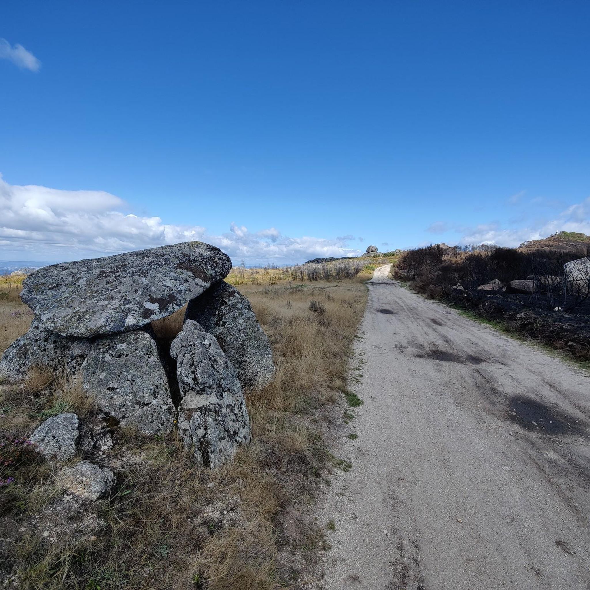
Yes, the routes often traverse historical villages and areas with significant landmarks. You could encounter sites like the ancient Meninas do Crasto Dolmen or the historic Ponte do Arco. Many routes pass by local churches and traditional architecture.
What do other road cyclists say about the routes in Mesquinhata?
The road cycling routes in Mesquinhata are highly rated by the komoot community, with an average score of 5.0 stars from 5 reviews. Cyclists often praise the challenging mountain passes, the beauty of the river valleys, and the charm of the historical village routes.
How many road cycling routes are available in the Mesquinhata area?
There are 19 road cycling routes available around Mesquinhata. These include 5 moderate routes and 14 difficult routes, catering to experienced road cyclists looking for a challenge.
Is Mesquinhata suitable for family road cycling trips?
Given the region's characteristics of significant elevation changes and challenging terrain, with no routes classified as easy, Mesquinhata is generally more suited for experienced road cyclists rather than family trips with young children or beginners.
What is the best time of year for road biking in Mesquinhata?
While specific seasonal data isn't provided, regions with significant elevation changes and mountainous areas like Mesquinhata are typically best enjoyed during spring and autumn when temperatures are milder and the weather is more stable. Summer can be hot, and winter might bring colder temperatures and potentially adverse conditions in higher elevations.
Are there cafes or places to stop for refreshments along the road cycling routes?
Many routes pass through historical villages. While specific cafes aren't listed, these villages often provide opportunities for refreshments and breaks, allowing cyclists to experience local culture and cuisine.
Most popular routes around Mesquinhata
Most popular attractions around Mesquinhata

Get inspired with the komoot mobile app


Explore more
Browse the best Road cycling routes in other regions.
