The best walks and hikes around São Matias
4.7
(58)
314
hikers
7
hikes
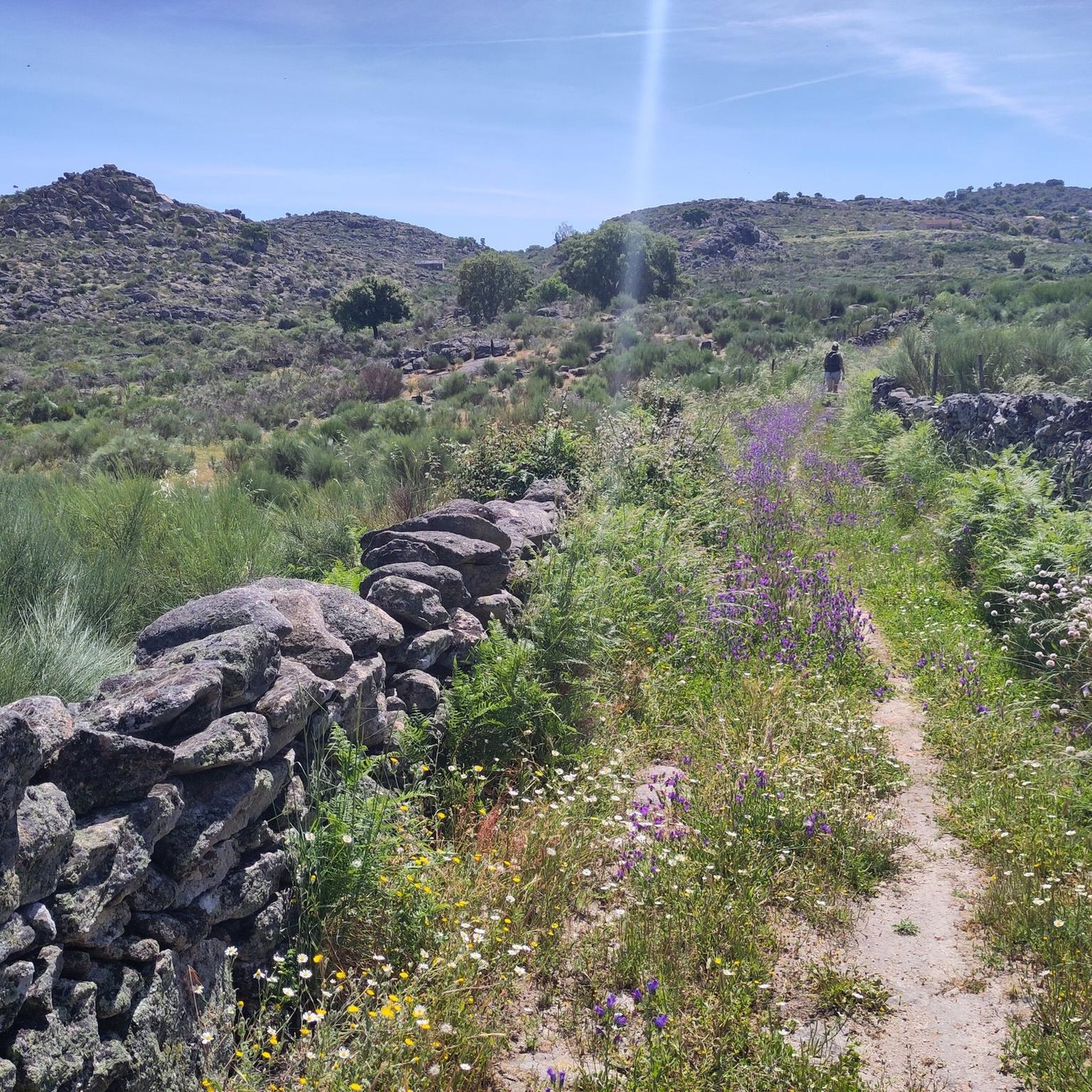
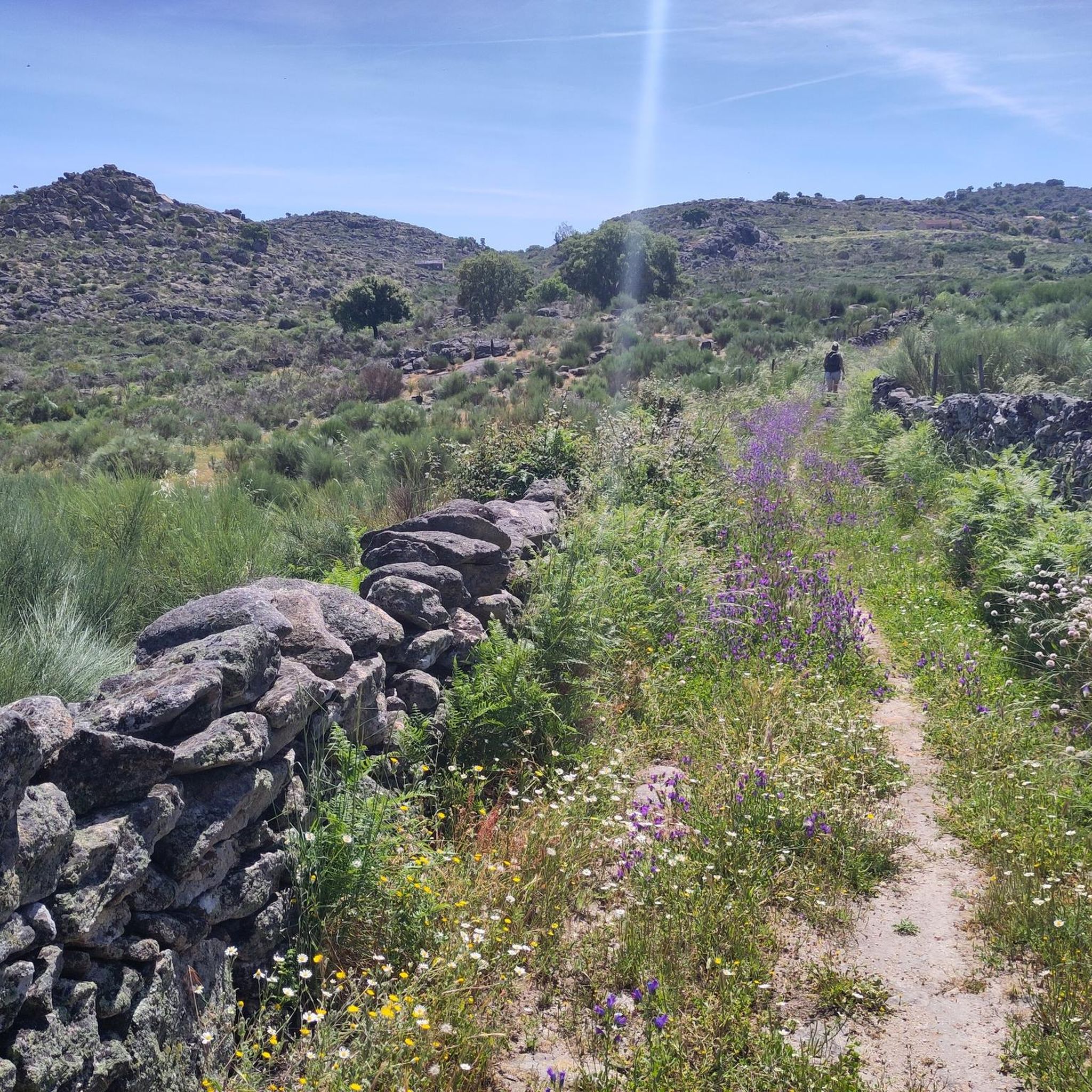
Hiking around São Matias offers a variety of trails through diverse landscapes. The region is characterized by rolling hills, river valleys, and areas with historical significance, such as castles and old bridges. Elevation gains are generally moderate, making many routes accessible for different fitness levels. The terrain often includes a mix of natural paths and rural tracks.
Best hiking trails around São Matias
- The most popular hiking route is PR1 NIS Jans Trail, a 4.6 miles (7.4 km) trail…
Last updated: July 8, 2026
4.9
(10)
108
hikers
7.37km
01:55
50m
50m
Easy hike. Great for any fitness level. Easily-accessible paths. Suitable for all skill levels.
4.5
(6)
12
hikers
10.9km
03:09
260m
250m
Moderate hike. Good fitness required. Easily-accessible paths. Suitable for all skill levels.

Sign up for free
4.6
(15)
68
hikers
Moderate hike. Good fitness required. Easily-accessible paths. Suitable for all skill levels.
4.7
(12)
66
hikers
Moderate hike. Good fitness required. Easily-accessible paths. Suitable for all skill levels.
4.5
(11)
35
hikers
10.7km
03:14
360m
360m
Moderate hike. Good fitness required. Easily-accessible paths. Suitable for all skill levels.
Get access to more routes and recommendations from other explorers.
Sign up for free
Already have an account?
Our route recommendations are based on thousands of hikes, rides, and runs completed by other people on komoot.
Start today with a free account
Your next adventure awaits.
Login or Signup
Popular around São Matias

Tips from the Community

Unfortunately affected by the storm.
0
0
The ferry fell victim to the storms in February 2026 and no longer exists (May 2026).
0
0

Opened in April 2021, this is one of the newest trails in Portugal. The Barca D'Amieira Trail combines a walkway, a suspension bridge, and a fabulous viewpoint in a single route. The trail also offers a walk along a towpath wall and stunning views of the Tagus River.
2
0

A curiosity halfway along the trail...
0
0
A little bit of Indiana Jones...
1
1

Covered viewpoint above the Tagus River, from where you can enjoy a unique view of the estuary of the Ocreza River and the railway line opposite. .
2
0
Sehenswürdigkeit am Trilho da Barca d'Amieira
1
0
Frequently Asked Questions
Are there easy hiking trails suitable for beginners in São Matias?
Yes, São Matias offers several easy routes perfect for beginners or those looking for a relaxed walk. The region's trails generally feature moderate elevation gains and a mix of natural paths and rural tracks. An excellent option is the PR1 NIS Jans Trail, which is 4.6 miles (7.4 km) long and takes about 1 hour 55 minutes to complete.
What kind of sights or landmarks can I expect to see along the trails in São Matias?
Hiking around São Matias allows you to explore diverse landscapes, including river valleys and rolling hills, often with historical significance. You might encounter interesting landmarks such as the Suspended pedestrian bridge, the Benbolina Sculpture and Stone Archway, or the Conhal Interpretive Center. Many routes also pass by areas with castles and old bridges.
Are the hiking trails in São Matias suitable for families with children?
Many trails in São Matias are suitable for families, especially those looking for moderate activity. The region's routes are characterized by rolling hills and river valleys, with generally moderate elevation changes. Consider easier routes like the PR1 NIS Jans Trail for a family-friendly experience.
Can I find circular hiking routes around São Matias?
Yes, São Matias features several excellent circular routes. For example, the Castelo de Amieira – Suspended pedestrian bridge loop from Castelo de Amieira is a popular 7.3-mile (11.8 km) trail that takes you through historical areas and across a suspended pedestrian bridge. Another option is the Passadiços da Barca d'Amieira – Suspended pedestrian bridge loop from Barca da Amieira - Envendos.
What do other hikers enjoy most about the trails in São Matias?
The hiking trails in São Matias are highly regarded by the komoot community, with an average rating of 4.7 stars from over 50 reviews. Hikers often praise the diverse landscapes, which include river valleys and rolling hills, as well as the historical landmarks found along the routes. The variety of options for different ability levels is also frequently highlighted.
Are there any challenging hikes for experienced trekkers in São Matias?
While São Matias does not feature trails classified as 'difficult,' there are several moderate routes that offer a good challenge due to their length and elevation gain. The Castelo de Ródão – View of the Tagus River Valley loop from Ródão, for instance, is a 6.6-mile (10.7 km) route with over 350 meters of elevation gain, providing a more strenuous experience.
Is parking available at the trailheads in São Matias?
In rural areas like São Matias, parking is generally available near popular trailheads or in nearby villages. It's advisable to check specific route details on komoot for information on designated parking areas or suitable roadside spots before you go.
How accessible are the hiking trails in São Matias by public transport?
Accessibility by public transport can vary depending on the specific trailhead. While some routes might be reachable via local bus services to nearby towns, many trailheads in more rural settings may require private transportation. Planning your route on komoot can help identify the closest access points and potential public transport options.
When is the best time of year to go hiking in São Matias?
The best time to hike in São Matias is typically during the spring (March to May) and autumn (September to November) months. During these periods, the weather is generally mild and pleasant, making for comfortable hiking conditions. Summers can be quite hot, while winters are cooler and may bring more rain.
Are dogs allowed on the hiking trails in São Matias?
Generally, dogs are welcome on hiking trails in rural areas like São Matias, provided they are kept under control, ideally on a leash, and owners clean up after them. It's always a good practice to check for any specific local regulations or signage at the trailhead regarding pets.
Are there places to eat or drink near the hiking trails in São Matias?
While the trails themselves often traverse natural and rural landscapes, you can usually find cafes, restaurants, or small shops in the villages and towns close to the trailheads. It's a good idea to carry sufficient water and snacks, especially on longer routes, and plan to visit local establishments before or after your hike.
How many hiking trails are available in São Matias?
There are 7 hiking trails available in São Matias, offering a range of experiences from easy walks to more moderate excursions through the region's diverse landscapes.
Most popular routes around São Matias
Most popular attractions around São Matias

Get inspired with the komoot mobile app


Explore more
Browse the best Hikes in other regions.
