The best running trails around Alpalhão
7
runners
2
runs
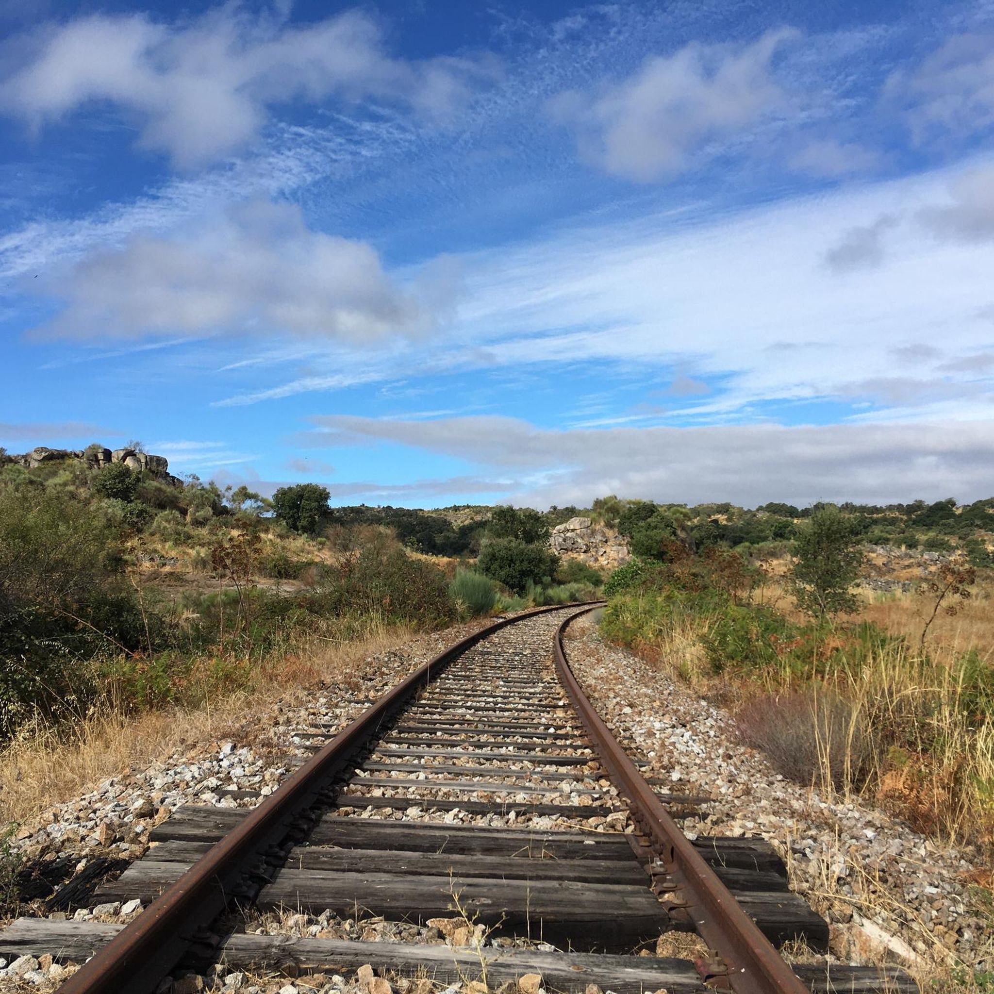
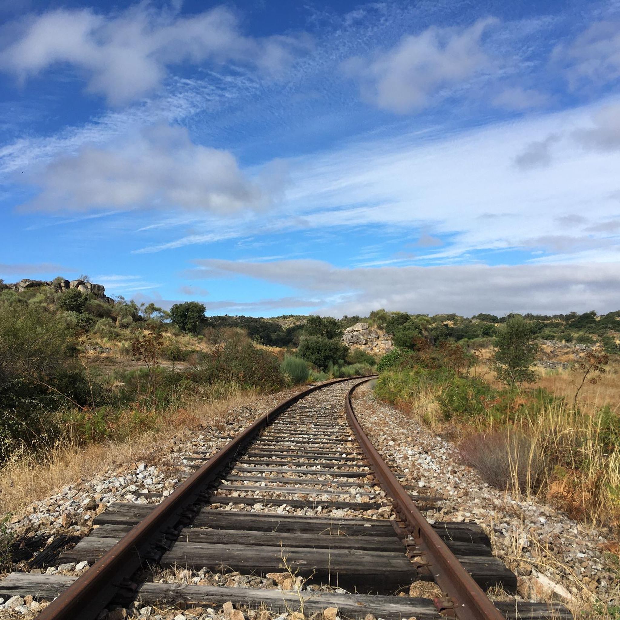
Jogging around Alpalhão offers diverse terrain across its plains, mountainous backdrops, and riverside environments. The region is characterized by its position between the São Mamede mountain range and the Tagus River, providing varied landscapes from flat stretches to inclined paths. Runners can explore rural Alentejo scenery, unique rounded rock formations on the Nisa/Lage da Prata Plateau, and paths along the Tagus River. This varied topography supports a range of running experiences.
Best jogging routes around Alpalhão
- The most popular jogging…
Last updated: September 4, 2026
4
runners
25.2km
03:09
680m
680m
Hard run. Very good fitness required. Mostly paved surfaces. Suitable for all skill levels.
2
runners
6.83km
00:43
40m
50m
Moderate run. Good fitness required. Mostly paved surfaces. Suitable for all skill levels.

Sign up for free
1
runners
9.43km
01:03
140m
140m
Moderate run. Good fitness required. Mostly paved surfaces. Suitable for all skill levels.
Our route recommendations are based on thousands of hikes, rides, and runs completed by other people on komoot.
Start today with a free account
Your next adventure awaits.
Login or Signup

Frequently Asked Questions
What types of landscapes can I expect on running trails around Alpalhão?
Jogging around Alpalhão offers a rich variety of landscapes, from rolling plains to mountainous backdrops and riverside paths. The region is uniquely situated between the São Mamede mountain range and the Tagus River, providing diverse terrains suitable for different challenges, including flat stretches and more inclined paths. You can also explore the unique rounded rock formations of the Nisa/Lage da Prata Plateau and the tranquil rural Alentejo scenery.
How many running routes are available in the Alpalhão area?
The Alpalhão area features a selection of running routes, with at least 2 distinct tours detailed in this guide. These routes cater to various preferences, offering both moderate and difficult challenges across the region's diverse terrain.
Are there running routes suitable for beginners or those looking for an easier jog?
Yes, there are options for different ability levels. For a balanced challenge that's not overly strenuous, consider the Anta do Alcogulo III loop from Quinta do Pomarinho. This moderate 5.8-mile (9.4 km) path offers a pleasant run through rural surroundings. Another moderate option is the Torre das Portas de Montalvão loop from Nisa, a 4.2-mile (6.8 km) trail through the plains.
Can I find challenging running trails for experienced runners?
Absolutely. For experienced runners seeking a more demanding route, the Fonte do Rossio – Senhora da Graça loop from Nisa is an excellent choice. This difficult 15.7-mile (25.3 km) trail features significant elevation gain and takes you through varied and challenging landscapes.
Are there any circular running routes in Alpalhão?
Yes, several routes in the area are designed as loops, allowing you to start and finish in the same location. Examples include the Anta do Alcogulo III loop from Quinta do Pomarinho and the Torre das Portas de Montalvão loop from Nisa, both offering convenient circular paths.
What interesting landmarks or natural features can I see while running in Alpalhão?
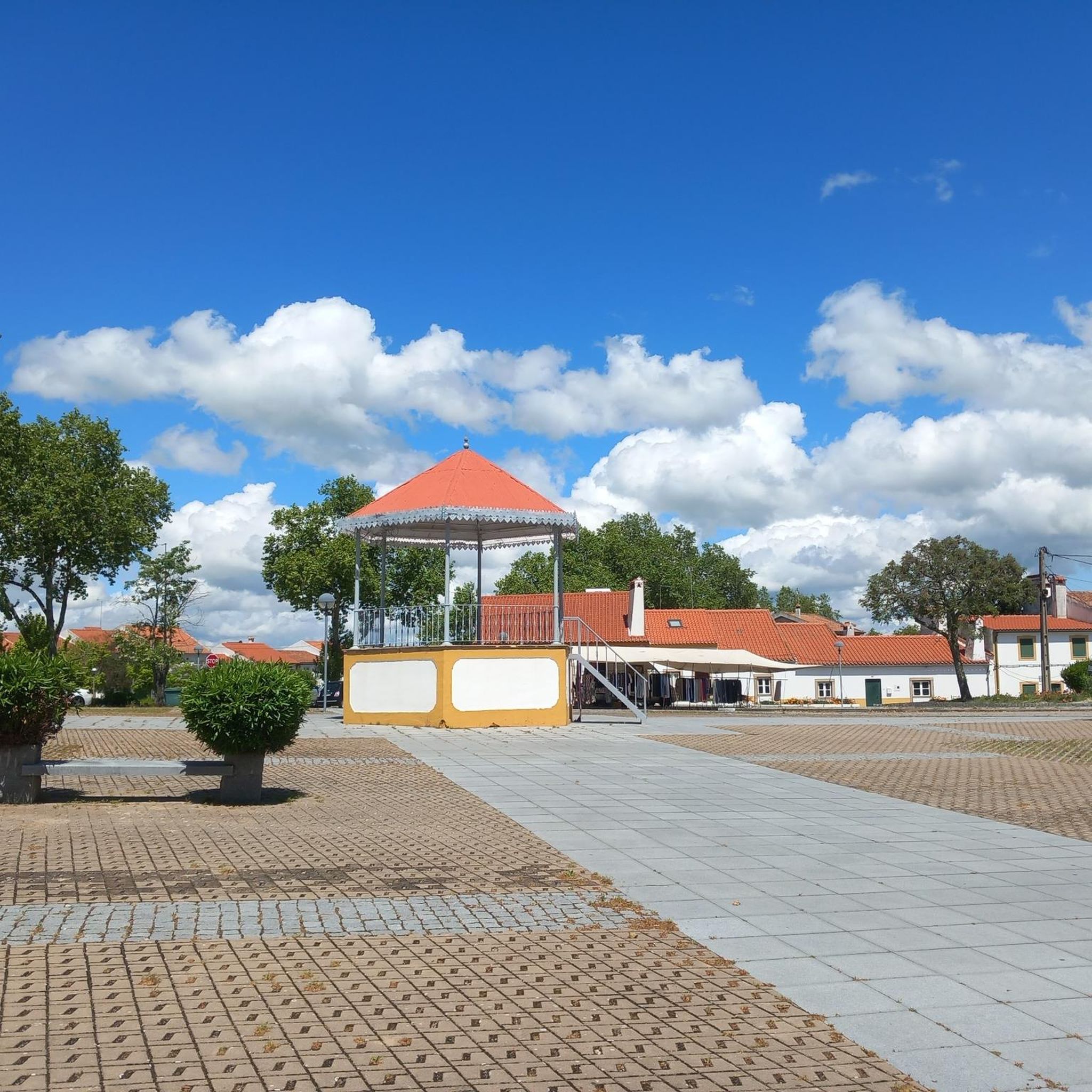
Alpalhão's running routes offer glimpses of both natural beauty and historical significance. You can encounter unique rounded rock formations on the Nisa/Lage da Prata Plateau and Ancient Stone Structures, which also features ancient dwellings. The region is also home to the Conhal do Arneiro, a natural monument with remnants of ancient gold mining activities along the Tagus. While jogging, you might also spot sculptures from the Bienal da Pedra scattered throughout the town.
Are the running trails around Alpalhão suitable for families?
While specific 'family-friendly' designations aren't provided, the region's diverse trails include moderate options that could be suitable for active families. Routes like the Torre das Portas de Montalvão loop from Nisa, which is shorter and has less elevation, might be a good starting point for families looking to jog together.
What do other runners say about jogging in Alpalhão?
More than 7 runners have used komoot to explore Alpalhão's varied terrain. While specific ratings are not available, the community actively uses these routes, indicating their appeal for outdoor enthusiasts who appreciate diverse landscapes and varied challenges.
Is there parking available near the running routes?
While specific parking details for each trailhead are not provided in the guide, Alpalhão is a village with various access points. Given its rural setting, it's generally possible to find parking in or near the starting points of routes, especially those originating from towns like Nisa or Quinta do Pomarinho.
Are there any scenic running routes that offer great views?
Yes, the region is known for its scenic beauty. The location between the São Mamede mountain range and the Tagus River ensures many routes offer magnificent views. The Nisa/Lage da Prata Plateau, with its unique rock formations and blooming gorse, provides a distinctive and scenic backdrop for runs. Additionally, trails leading towards the Portas de Ródão offer impressive geological sights.
What is the best time of year for running in Alpalhão?
Alpalhão's climate, typical of the Alentejo region, generally offers pleasant conditions for outdoor activities for much of the year. Spring and autumn are often ideal, with milder temperatures. Summer can be hot, especially midday, so early morning or late afternoon runs are recommended during those months. Winters are generally mild, making it possible to run year-round.
Can I combine my run with exploring historical sites in the area?
Absolutely. Alpalhão and its surroundings are rich in history. You can jog past the 16th-century Capela do Calvário in Alpalhão itself, or explore the Nisa/Lage da Prata Plateau and Ancient Stone Structures, which features menhirs, dolmens, and ancient dwellings. The Conhal do Arneiro, an archaeological site, also offers a unique historical setting for exploration during a run.
Most popular routes around Alpalhão
Most popular attractions around Alpalhão

Get inspired with the komoot mobile app


Explore more
Browse the best Running Trails & Routes in other regions.
