The best walks and hikes around Azambuja
3.5
(7)
29
hikers
5
hikes
Hiking around Azambuja offers diverse landscapes, including lush forests, rolling hillsides, and expansive vineyards. The region is characterized by arable land and the alluvial plains of the Tagus River, providing a varied backdrop for outdoor exploration. Hikers can explore well-preserved cork oak groves and discover the natural features of the Serra de Montejunto Natural Park. This area provides a mix of terrain suitable for different hiking preferences.
Best hiking trails around Azambuja
- The most popular hiking route is Ota Karstic…
Last updated: June 24, 2026
4.0
(4)
9
hikers
6.71km
01:56
150m
150m
Hike the easy Ota Karstic Canyon Trail, a 4.2-mile route with 505 feet of elevation gain, offering views from Cabeço Pardal.
3.0
(1)
6
hikers
Easy hike. Great for any fitness level. Easily-accessible paths. Suitable for all skill levels.

Sign up for free
3.0
(1)
10
hikers
23.1km
05:52
50m
50m
Hard hike. Very good fitness required. Easily-accessible paths. Suitable for all skill levels.
4.0
(1)
2
hikers
18.0km
05:04
360m
360m
Hard hike. Very good fitness required. Easily-accessible paths. Suitable for all skill levels.
Our route recommendations are based on thousands of hikes, rides, and runs completed by other people on komoot.
Start today with a free account
Your next adventure awaits.
Login or Signup
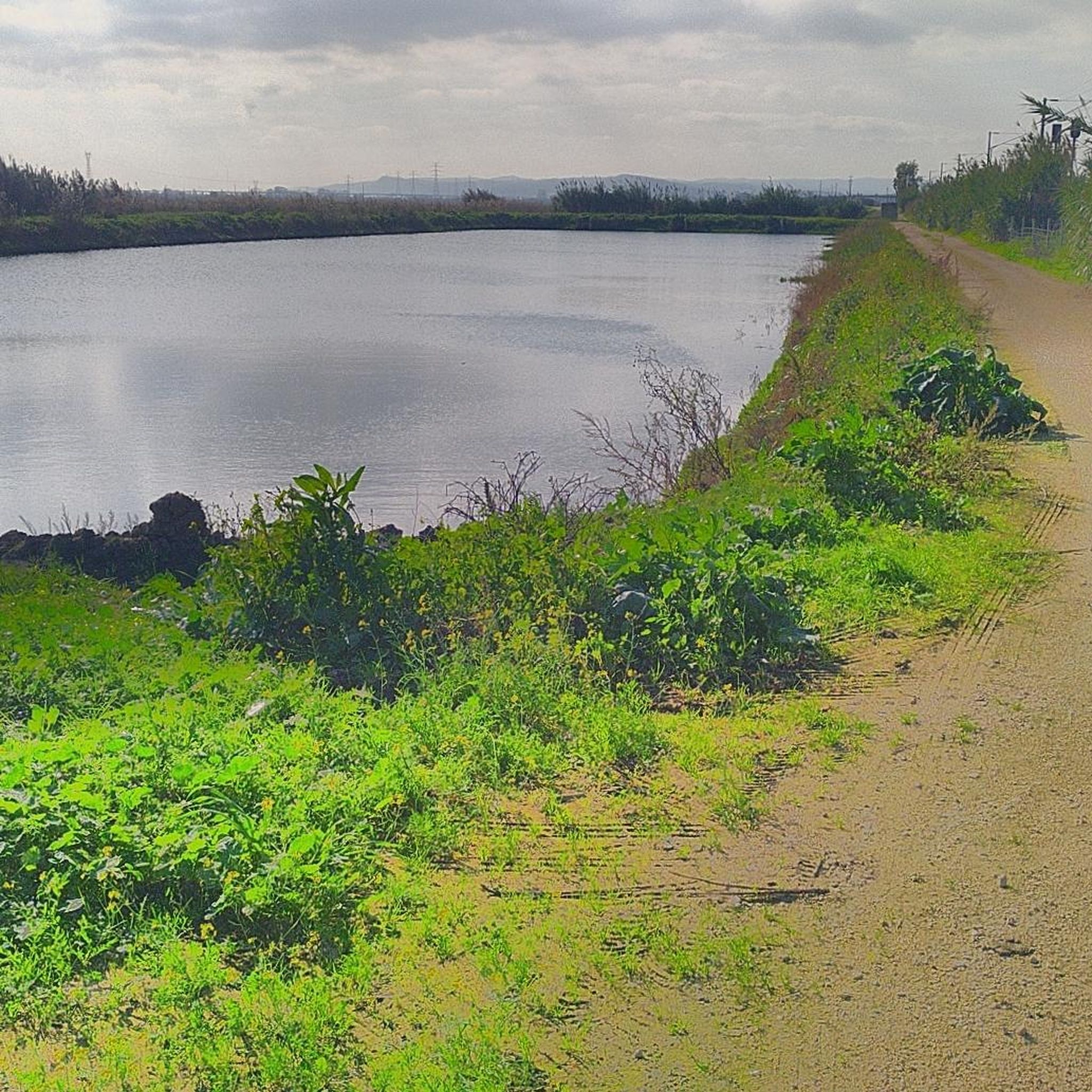
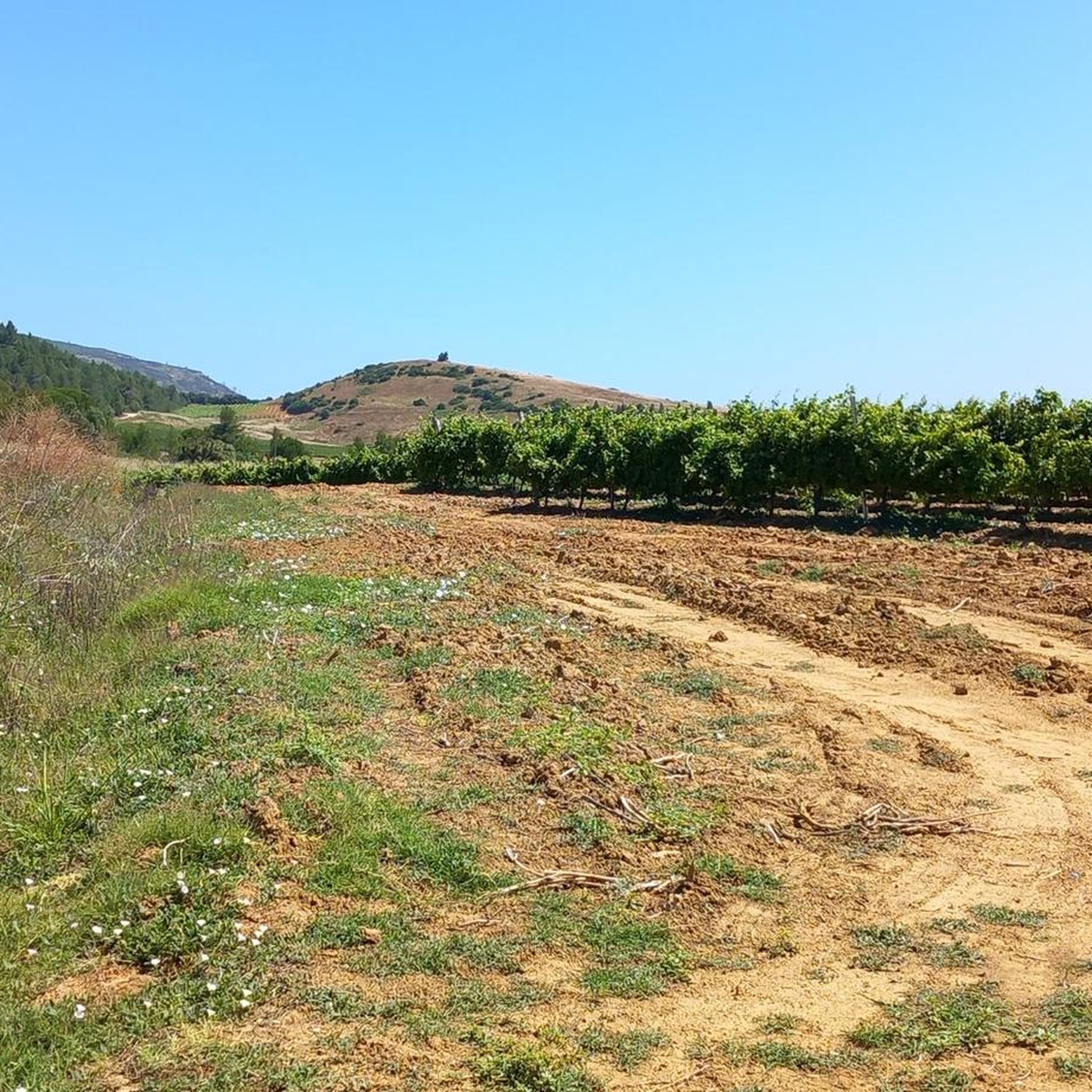
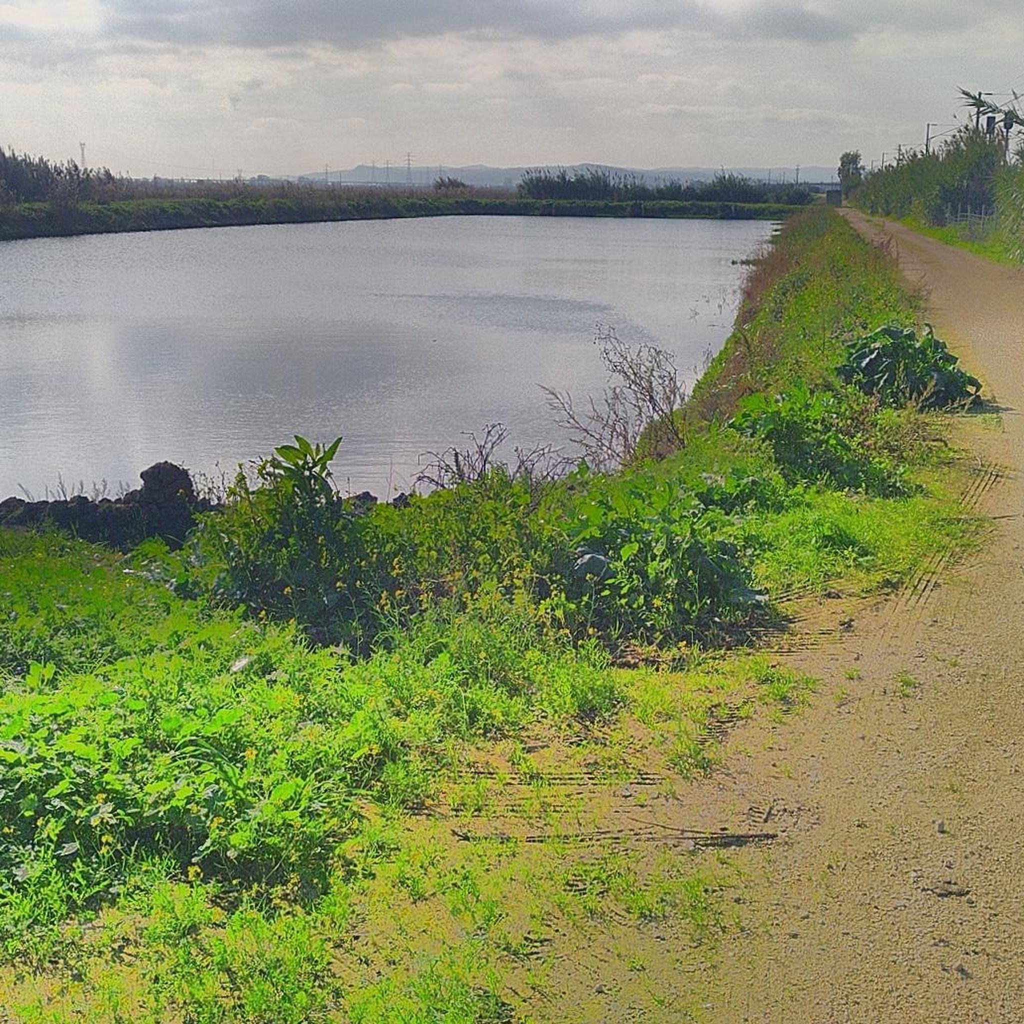

Tips from the Community

It is the seat of the municipality of Benavente[3] with an area of 521.38 km²[4] and 29,709 inhabitants (2021),[5][6] subdivided into 4 parishes.[3] The municipality is bordered to the north by the municipality of Azambuja, to the northeast by Salvaterra de Magos, to the east by Coruche, to the southeast by the secondary area (exclave) of Montijo, to the south by Palmela and Alcochete, to the southwest by the Tagus Estuary (marshy land officially assigned to the municipality of Alcochete) and to the northwest by Vila Franca de Xira.
2
0

The area of the springs, on the Ota River, was once a leisure area for the local population, including the local bathing area in the summer. This site remained natural for a long time after the EPAL was installed, but at a certain point, the intensification of agriculture with the use of chemical fertilizers and pesticides, intensive livestock farming, and urban sewage made the flow from upstream a polluting threat to EPAL's water intakes, and EPAL paved several dozen meters of the river course near the site where it is installed with reinforced concrete.
1
0

The Ota River has its source in the Montejunto mountain range. It flows through the Ota area and empties into the Alenquer River, which in turn meets the Tagus River near Vila Nova da Rainha. At this point the river is close to the village of the same name, Ota.
1
0
Point where you can observe the region in Serra de Ota. The route is also frequented by mountain bikers, and can be covered without any major difficulties on foot.
0
0
Very pleasant path that runs around Montejunto. It offers beautiful landscapes of the region. Some sections have loose stone floors, so it is worth paying attention.
1
0
It rises in the Montejunto mountain range, passes through the clusters of Eiras, Abrigada, Atouguia, Ota and Aldeia, in the municipality of Alenquer and flows into the right bank of the Tagus river near Vila Nova da Rainha, side by side with the Alenquer river. Of its layout stands out, in particular, the “Cannon” of the Ota river valley, which presents geomorphological characteristics of the greatest relevance at a national level.
2
0
Frequently Asked Questions
How many hiking trails are available in Azambuja?
The Azambuja region offers a selection of 5 hiking routes, catering to various preferences. These trails explore diverse landscapes, from river plains to cork oak groves.
What kind of natural landscapes can I expect to see while hiking in Azambuja?
Azambuja's hiking trails showcase a diverse countryside, including lush forests, rolling hillsides, and expansive vineyards. You'll also find well-preserved cork oak groves, the alluvial plains of the Tagus River, and ensconced valleys leading to the Maçussa Brook and Almoster Valley. Some trails even feature ancient springs and unique karstic formations, particularly on routes like the Ota Karstic Canyon Trail.
Are there any historical or cultural points of interest along the trails?
Yes, Azambuja is rich in history. You can explore historic routes like the Rota dos Moinhos (Mill Route) with its ancient windmills, the Trilho da Pedra Amarela (Yellow Stone Trail) known for unique rock formations, and the Caminho Real (Royal Path). The region is also part of significant pilgrim routes, such as the Portuguese Way of St. James and the Tagus Way. Hikers may also encounter archaeological sites like the ruins at Villa Cardilio and the Castro de Vila Nova de São Pedro.
Are there hiking options suitable for families with children?
Azambuja offers trails suitable for various skill levels, including easier options perfect for families. Routes like the Ota Karstic Canyon Trail are rated as easy and provide an engaging experience for all ages, exploring unique geological features.
Can I bring my dog on the hiking trails in Azambuja?
Many trails in Azambuja are suitable for dogs, especially those exploring the natural countryside and less restricted areas. However, it's always recommended to keep dogs on a leash and be mindful of local regulations, particularly when passing through agricultural lands or protected natural parks like Serra de Montejunto.
What are the difficulty levels of the hikes around Azambuja?
The hiking routes in Azambuja cater to a range of abilities. You'll find 2 easy trails, 1 moderate trail, and 2 difficult trails. This variety ensures options for both leisurely strolls and more challenging treks, allowing you to choose based on your fitness level and experience.
What is the best time of year to go hiking in Azambuja?
The best time to hike in Azambuja is typically during the spring (March to May) and autumn (September to November) months. During these seasons, the weather is milder and more pleasant, with less heat than summer and less rain than winter, making for ideal hiking conditions to enjoy the region's natural beauty.
Are there any notable attractions or landmarks near the hiking routes?
Yes, Azambuja's surroundings offer several interesting landmarks. You can visit historical bridges like Ponte Rainha D. Amélia, the Roman Bridge of Muge, and Ponte da Ermida. The charming Valada Village and the Beira Tejo Boat in Valada also offer cultural insights into the region.
What do other hikers say about the trails in Azambuja?
The hiking routes in Azambuja are well-regarded by the komoot community, holding an average rating of 3.5 stars from several reviews. Hikers often appreciate the diverse terrain, from river plains to cork oak groves, and the opportunities to explore the region's natural beauty.
Is parking available at the trailheads in Azambuja?
While specific parking details vary by trailhead, many routes in Azambuja, especially those starting near villages or popular natural areas, offer convenient parking options. It's advisable to check the specific route details on komoot for the most accurate parking information for your chosen trail.
Are there any circular hiking routes in the Azambuja region?
Yes, Azambuja features several circular hiking routes, allowing you to start and end your journey at the same point. Examples include the Vala River – Horses on Private Property loop from Salvaterra de Magos and the Obelisk of Benavente loop from Benavente, which offer varied experiences through riverine landscapes and agricultural plains.
Where can I find amenities like cafes or restaurants near the hiking trails?
Many hiking routes in Azambuja pass through or near quaint villages and hamlets, such as Torre de Penalva, where you can often find local cafes and restaurants. Some trails also incorporate amenities like picnic parks and public washhouses near drinking fountains, providing convenient resting points and opportunities for refreshments.
Most popular routes around Azambuja
Most popular attractions around Azambuja

Get inspired with the komoot mobile app


Explore more
Browse the best Hikes in other regions.
