The best running trails around São Bento
4.5
(4)
743
runners
69
runs
Jogging routes around São Bento are set within the Serra da Mantiqueira mountains, offering a diverse landscape for outdoor activity. The region features lush green valleys, varied mountainous terrain, and an extensive network of trails. Joggers can explore areas around the iconic Pedra do Baú complex, discover trails leading to waterfalls, or follow rural roads through river valleys. The topography provides options ranging from gentle slopes to more challenging ascents.
Best jogging routes around São Bento
- The most popular jogging…
Last updated: July 15, 2026
29
runners
56.4km
08:07
2,470m
2,470m
Hard run. Very good fitness required. Mostly paved surfaces. Suitable for all skill levels.
22
runners
18.5km
02:35
690m
690m
Hard run. Very good fitness required. Mostly paved surfaces. Suitable for all skill levels.

Sign up for free
29
runners
15.1km
02:16
700m
700m
Hard run. Very good fitness required. Sure-footedness, sturdy shoes and alpine experience required.
21
runners
Hard run. Very good fitness required. Mostly paved surfaces. Suitable for all skill levels.
16
runners
13.2km
01:39
240m
250m
Moderate run. Good fitness required. Mostly paved surfaces. Suitable for all skill levels.
Get access to more routes and recommendations from other explorers.
Sign up for free
Already have an account?
Our route recommendations are based on thousands of hikes, rides, and runs completed by other people on komoot.
Start today with a free account
Your next adventure awaits.
Login or Signup

Tips from the Community

Definitely worth a visit. We visited another grotto during our stay, but this one was considerably larger and more impressive.
0
0

From the top of the mountain, a breathtaking natural landscape opens up before you: the Polje de Minde, also known as the Minde Sea, stretches out in shades of green and water, a rare wetland nestled between hills. In the background, the São Mamede plateau and the undulating silhouette of the Serra d’Aire stand out.
1
0
Near the top of Cabeça Gorda, this viewpoint overlooks the Mira de Aire lagoons and the small town below. Here, a picnic area invites you to take a break: whether to stretch your legs in the sun or take shelter in the shade, depending on your body and the moment.
1
0
The Serra de Aire stands as the highest point of the Estremenho Limestone Massif, crowning its 678 metres at the geodesic vertex. Up here, the horizon opens up generously: to the south stretches the Tertiary Tagus Basin, lowered by the Arrife thrust and marked by ochre tones of sand and clay; to the west and southwest rise the Santo António plateau and the Serra dos Candeeiros. And if the sky cooperates, the view also reaches Montejunto, the sea in the distance and, to the north, the highlands of São Mamede up to Ourém and Fátima.
1
0
The Garcia Valley hides a narrow and wild trail, where the bush almost blocks the path, but that is precisely what makes it special for runners. The classic climb is a real test for the legs: 200 meters of elevation gain in just one kilometer. Short, tough and full of charm.
1
1

Long dry stone walls that delimit the properties.
0
0
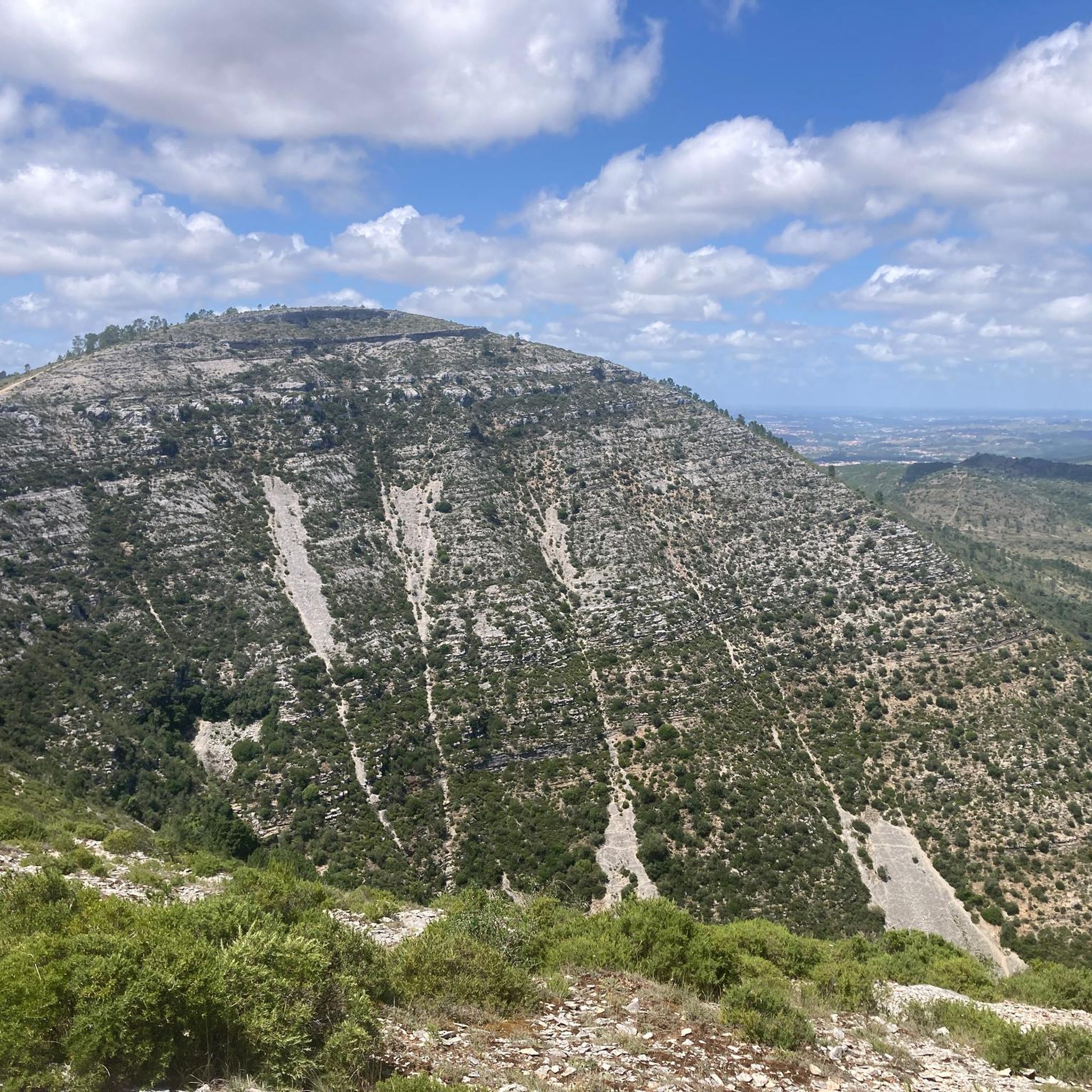
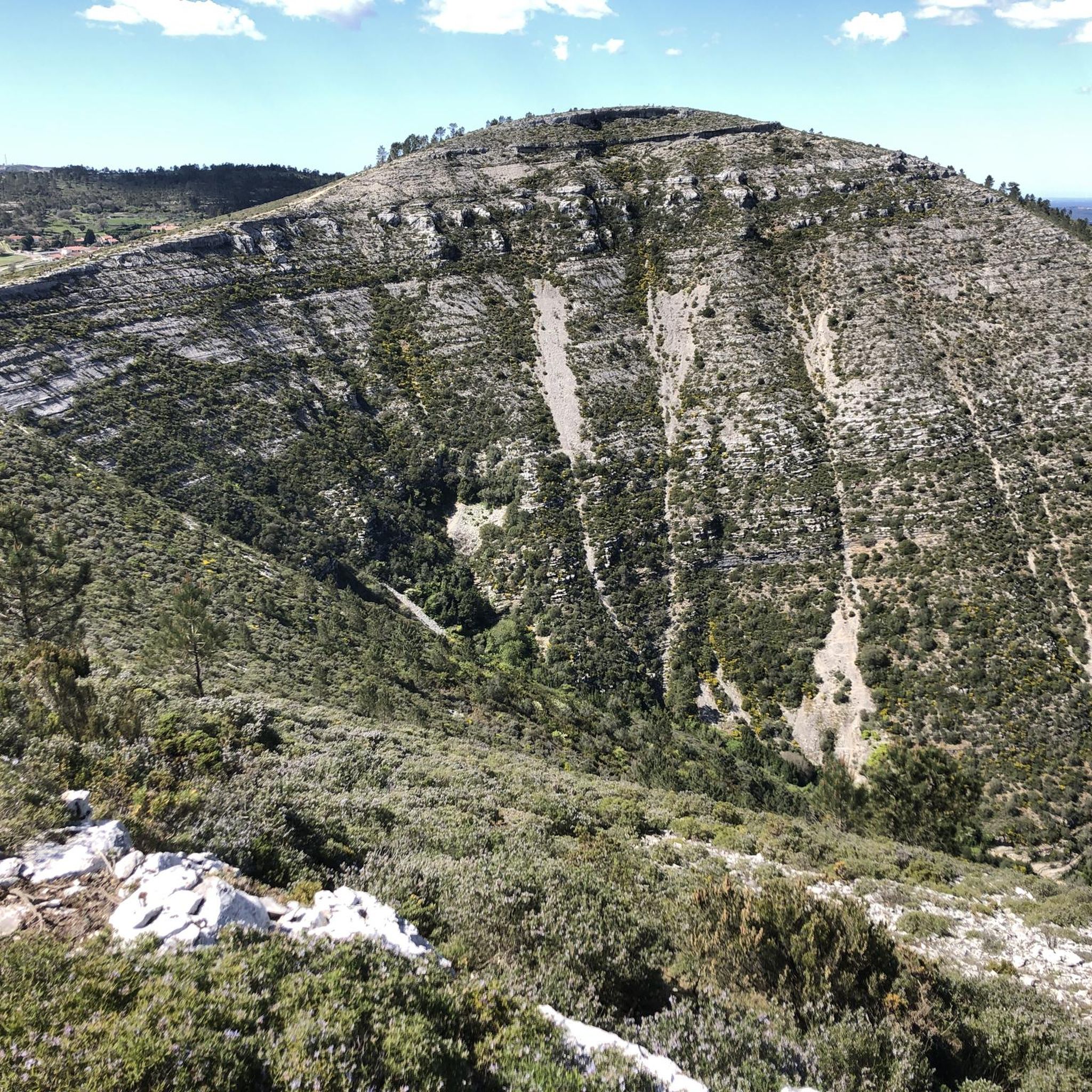
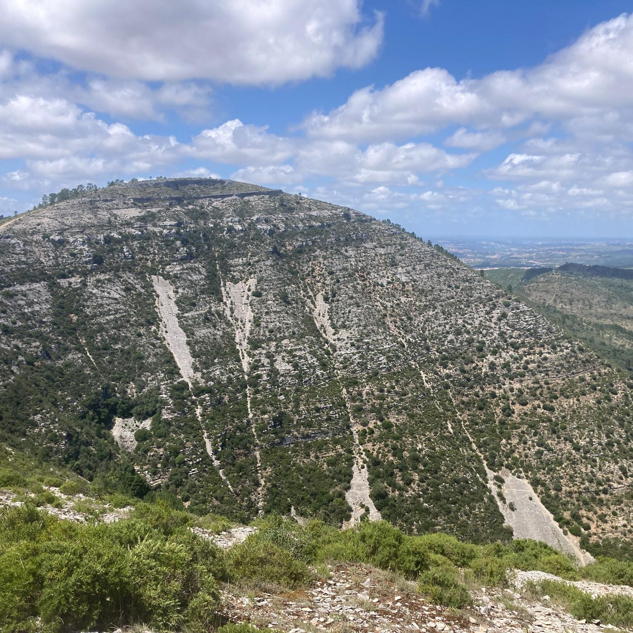
The view from here over Cabeço da Fórnea and its valley is simply breathtaking. The climb to the top is very accessible and definitely worth the effort.
2
0

The Fórnea Waterfall is located right in the heart of the Serras de Aire e Candeeiros Natural Park, and is fed by the Fórnea Stream, which in turn flows from the Cova da Velha cave.
2
0
Frequently Asked Questions
How many running routes are available in São Bento do Sapucaí?
São Bento do Sapucaí offers a wide selection of over 70 running routes. These trails are predominantly moderate to difficult, with 20 moderate and 50 challenging options, providing ample opportunities for an active experience amidst the stunning Serra da Mantiqueira mountains.
Are there any beginner-friendly or less challenging jogging paths in São Bento do Sapucaí?
While komoot lists no routes specifically as 'easy' in São Bento do Sapucaí, the region's diverse terrain does offer options for less strenuous runs. You can find moderate trails among the 20 available, and the rural roads, such as those along the Sapucaí River Valley, often provide flatter, more relaxed stretches suitable for a gentle jog.
What kind of terrain can I expect on the running trails in São Bento do Sapucaí?
The running trails in São Bento do Sapucaí are characterized by the varied topography of the Serra da Mantiqueira. You can expect a mix of lush green valleys, mountainous terrain with both gentle slopes and challenging ascents, and paths leading through forests and past natural features like waterfalls. The region is known for its extensive trail network, offering diverse surfaces for trail running.
Are there any circular running routes in the São Bento do Sapucaí area?
Yes, São Bento do Sapucaí features several circular running routes. For example, the Cabeça Gorda Viewpoint – Vale Garcia Ascent loop from Minde is a challenging 35-mile (56.4 km) loop offering panoramic views. Another option is the Fórnea Viewpoint loop from Alcaria, an 11.5-mile (18.5 km) difficult path with varied terrain and scenic vistas.
What are some scenic viewpoints or attractions I can see while jogging in São Bento do Sapucaí?
Jogging in São Bento do Sapucaí offers breathtaking scenery. You can run towards iconic landmarks like the Pedra do Baú complex, or explore trails leading to refreshing waterfalls such as Cachoeira do Poção and Cachoeira do Encontro. Other notable viewpoints include Vista do Ponto Majestoso and Mirante Serrano, which provide stunning vistas over the mountainous landscape. You might also encounter the Fórnea Waterfall or the historic Porto de Mós Castle along some routes.
What do other runners enjoy most about jogging in São Bento do Sapucaí?
The running routes in São Bento do Sapucaí are highly rated by the komoot community, with an average score of 4.5 stars from over 4 reviews. Runners frequently praise the majestic mountains, verdant valleys, and the extensive trail network that offers diverse options for all ability levels, from demanding ascents to more moderate paths. The region's natural beauty and varied terrain are often highlighted as key attractions.
Are there any specific trails that lead to waterfalls in São Bento do Sapucaí?
Yes, the region around São Bento do Sapucaí is home to several waterfalls, and some trails lead directly to them. While specific komoot routes to Cachoeira do Poção or Cachoeira do Encontro are not detailed here, the general trail network in the Serra da Mantiqueira provides access to these natural spectacles, offering a refreshing reward for your run. The Fórnea Waterfall is also a notable highlight in the area.
Can I find trails suitable for trail running enthusiasts looking for a challenge?
Absolutely. São Bento do Sapucaí is renowned for its challenging terrain, making it ideal for experienced trail runners. The region hosts events like the 'Indomit Pedra do Baú' ultra-trail race, highlighting its suitability for endurance running. Many of the 50 difficult routes listed, such as the Cabeça Gorda Viewpoint – Vale Garcia Ascent loop from Minde with its significant elevation gain, will provide a demanding and rewarding experience.
What is the best time of year to go jogging in São Bento do Sapucaí?
São Bento do Sapucaí, nestled in the Serra da Mantiqueira, generally offers a pleasant cool climate ideal for outdoor exercise. While specific seasonal recommendations aren't provided, the varied topography and extensive trail network mean that jogging is enjoyable for much of the year. It's always advisable to check local weather conditions before heading out, especially during rainy seasons or colder months.
Are there any other interesting places to explore near the jogging routes?
Beyond the trails, São Bento do Sapucaí and its surroundings offer several interesting places. You can explore natural caves like Pia da Ovelha Cave or Grutas de Mira de Aire. For a unique experience, visit the Pia do Urso Sensory Ecopark. These attractions can complement your running adventures in the region.
Are there any routes that offer views of the Sapucaí River Valley?
Yes, areas like Estrada Dona Luciana offer picturesque views of the entire Sapucaí River Valley. These stretches often provide a tranquil environment away from urban bustle, making them ideal for a scenic and relaxed run while enjoying the expansive valley landscapes.
Most popular routes around São Bento
Most popular attractions around São Bento

Get inspired with the komoot mobile app


Explore more
Browse the best Running Trails & Routes in other regions.
