The best running trails around Cachopo
5.0
(1)
47
runners
10
runs
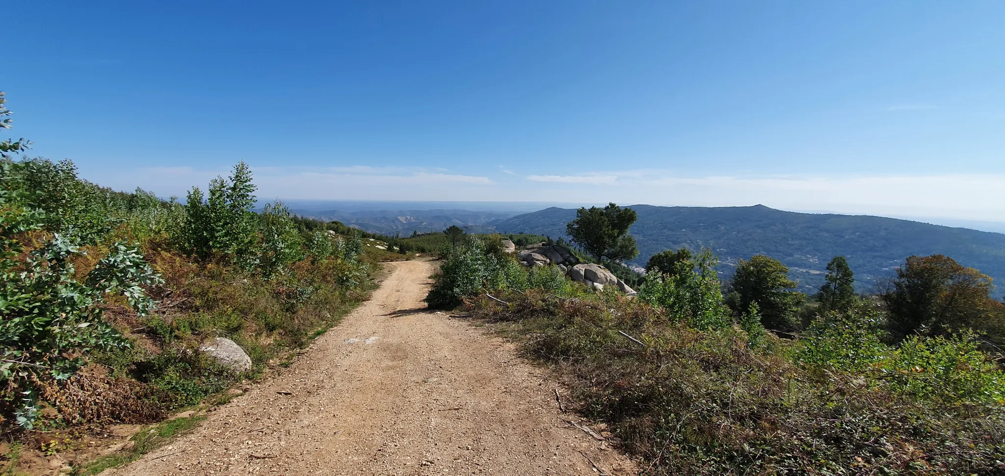
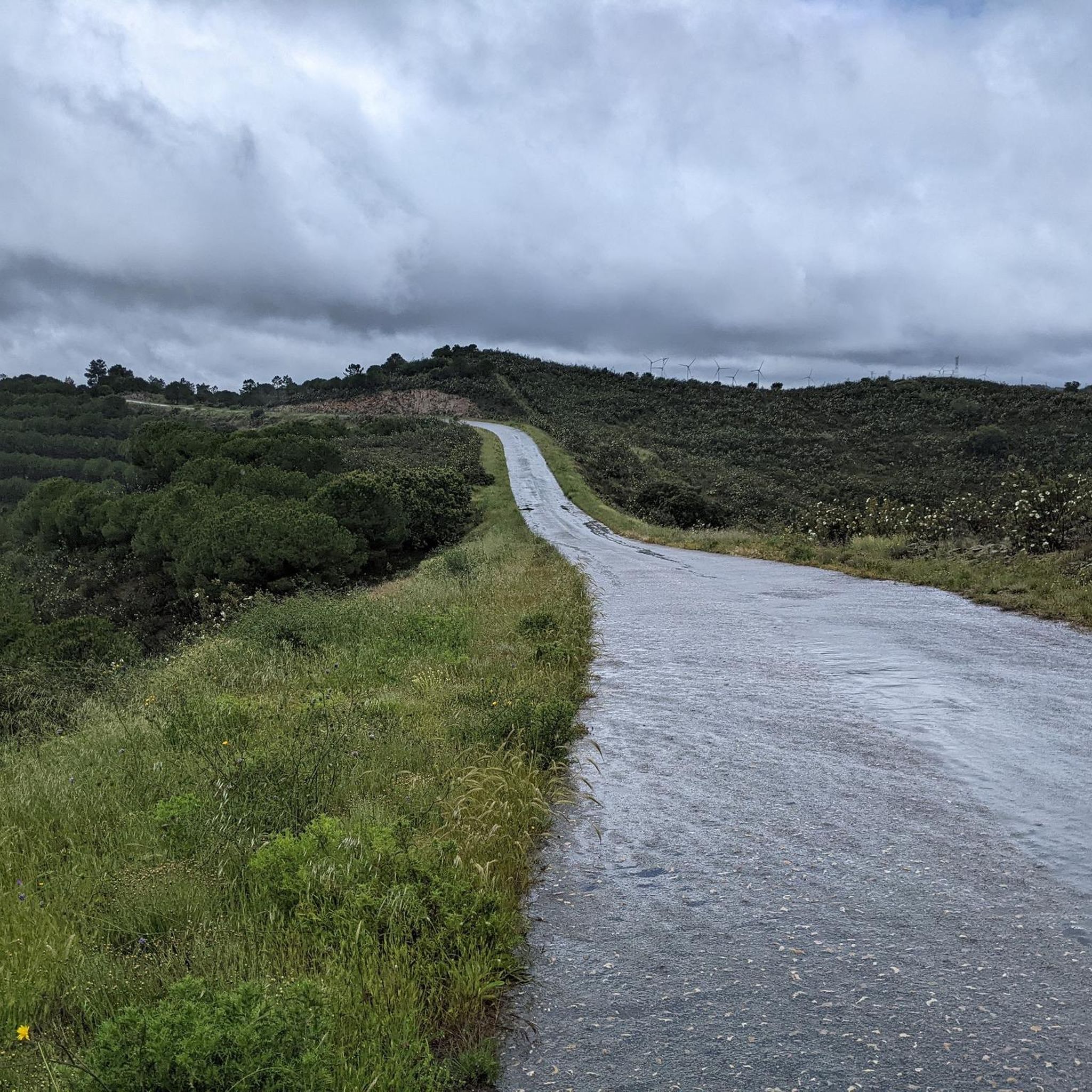
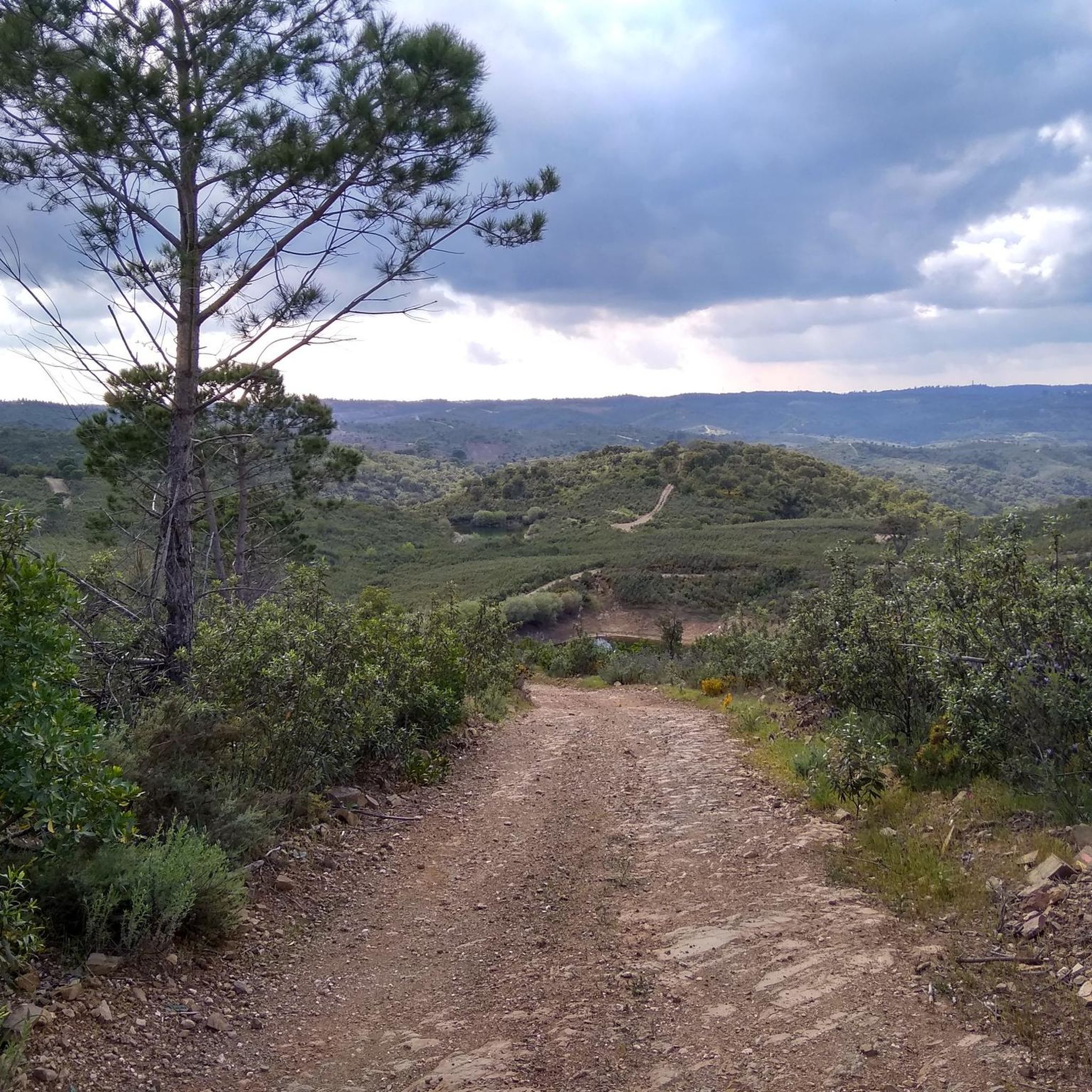
Jogging around Cachopo offers a network of routes primarily characterized by hilly terrain and paths winding through rural landscapes. The region features varied elevation changes, with some routes ascending over 500 meters, indicating a challenging environment for runners. Many trails are circular, providing diverse experiences through the local countryside. The area's natural features include paths through areas that may feature almond trees and connections to the Serra do Caldeirão mountain range.
Best jogging routes around Cachopo
- The most popular jogging…
Last updated: August 23, 2026
5.0
(1)
11
runners
14.2km
01:37
340m
340m
Hard run. Very good fitness required. Mostly paved surfaces. Suitable for all skill levels.
3
runners
9.41km
01:11
210m
200m
This difficult 5.8-mile (9.4 km) jogging route, the Fonte de Águas de Tábuas Trail (PR14 TVR), offers 680 feet (207 metres) of elevation gai

Sign up for free
1
runners
Hard run. Very good fitness required. Sure-footedness, sturdy shoes and alpine experience required.
1
runners
11.1km
01:22
270m
270m
Jog the moderate 6.9-mile Caminho da Amendoeira — circular route (PR8) through rural landscapes, featuring almond trees and the Ribeira do B
11.7km
01:28
370m
370m
Hard run. Very good fitness required. Mostly paved surfaces. Suitable for all skill levels.
Get access to more routes and recommendations from other explorers.
Sign up for free
Already have an account?
Our route recommendations are based on thousands of hikes, rides, and runs completed by other people on komoot.
Start today with a free account
Your next adventure awaits.
Login or Signup
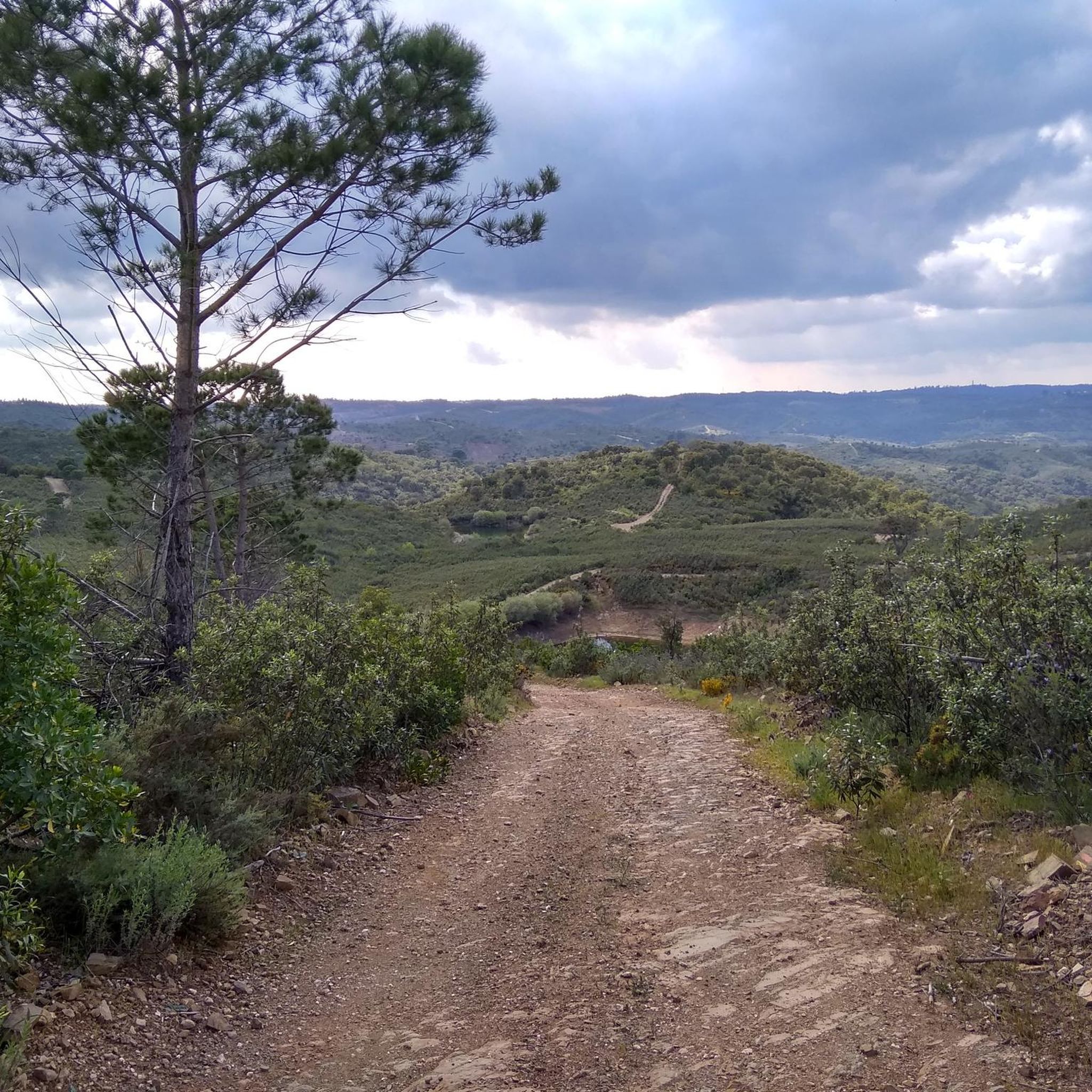
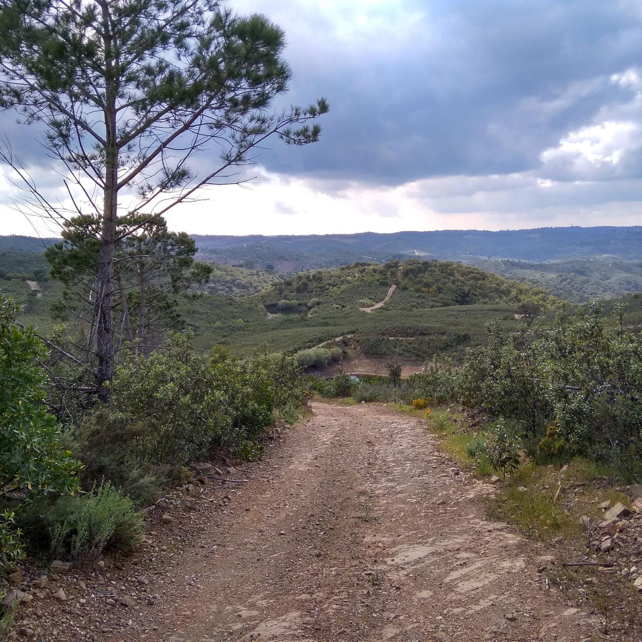


Tips from the Community

The river carries water in the winter time
0
0


Parises is a very quiet village located along Via Algarviana. The site offers an ideal starting point for routes in the surrounding area. There is also a small couple here where you can buy something to eat and drink.
1
0
Parises is a very peaceful village located along the Via Algarviana. It offers an ideal starting point for hiking trails in the surrounding area. There's also a small café where you can buy something to eat and drink.
2
0
Ribeira das Ruivas is a small intermittent watercourse. Your crossing takes place at this point, however it is very common, in times when it doesn't rain, to not find any water here. When there is water, however, be prepared to either do without shoes or to rinse them.
1
0
Fronteira is a small group of houses located in the interior of the Algarve. The place provides very beautiful views of the region, although there is not much to see in the village itself.
1
0
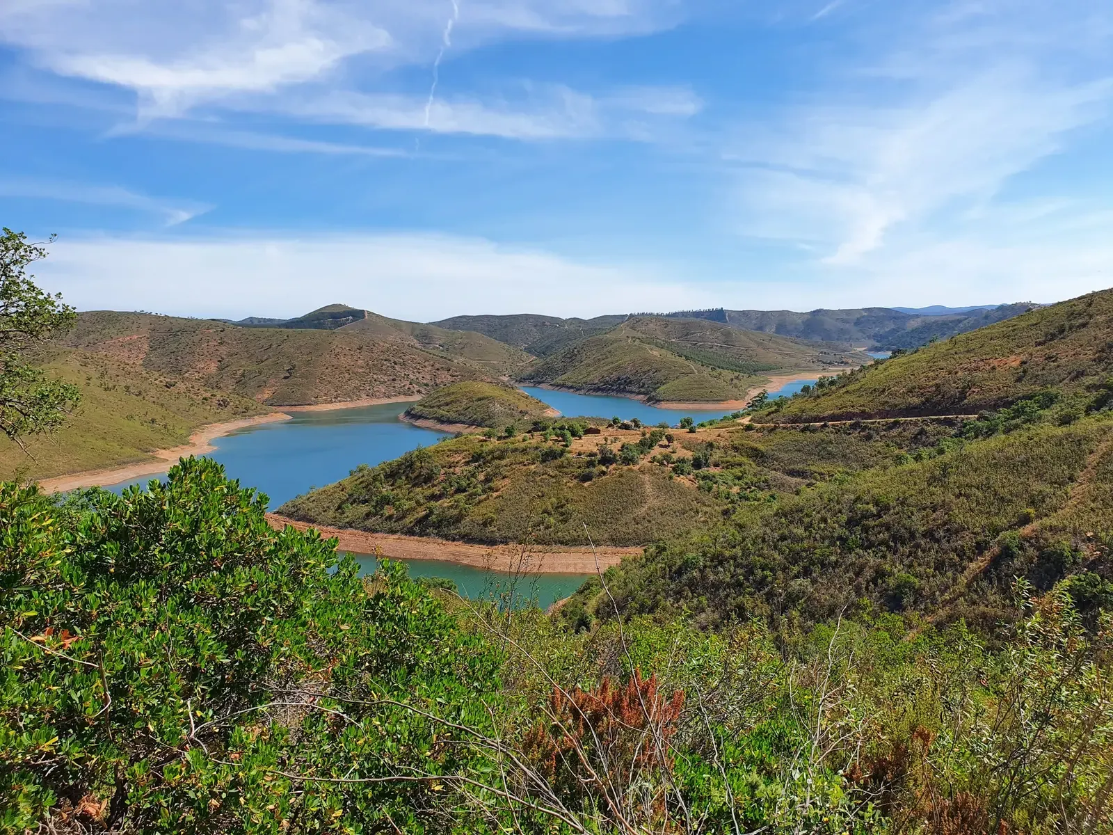
Near the Casas Altas elevation you have one of the most stunning views of the route. From here it is possible to see the mountains in all their splendor, as well as the Atlantic, on clear weather days.
0
0
Ribeira da Fornalha is one of the tributaries of the Séqua River. Like many other watercourses in the Algarve, its volume varies greatly from season to season. Therefore, you can find the Ribeira with very varied water levels (see photos).
2
0
Frequently Asked Questions
How many running routes are available around Cachopo?
There are 10 dedicated running routes around Cachopo, offering a variety of experiences for different skill levels. These trails are highly rated by the komoot community.
What kind of terrain can I expect on the jogging trails in Cachopo?
The jogging trails around Cachopo are primarily characterized by hilly terrain and paths winding through rural landscapes. You can expect varied elevation changes, with some routes ascending over 500 meters, making for a challenging run. Many paths connect to the Serra do Caldeirão mountain range.
Are there any easy running routes for beginners in Cachopo?
While many routes in Cachopo are rated as difficult, there are a few moderate options suitable for those looking for a less strenuous run. For example, the Almond Tree Path (PR8) is a moderate 11.1 km trail that can be completed in about 1 hour 22 minutes.
What are some of the longer running routes in the Cachopo area?
For a longer challenge, consider the Between Vales Fontes and Memórias da Serra do Caldeirão — circular route (PR2 SBA), which spans 18.3 km with over 500 meters of ascent. Another substantial option is the Morenos — circular route (PR13 TVR), a 14.2 km trail.
Are there any circular running routes in Cachopo?
Yes, many of the running routes in Cachopo are circular, offering diverse experiences without retracing your steps. Examples include the Morenos — circular route (PR13 TVR) and the Antas da Masmorra — circular route (PR8 TVR).
What interesting sights or landmarks can I see while running in Cachopo?
While running in Cachopo, you might encounter various points of interest. The area features natural monuments like the Tábuas Summit and the Cork Oak with Harvest Year Marking. You can also find historical sites such as the Casa dos Cantoneiros de Barranco do Velho and the Cova dos Mouros Mining Park. Don't miss the Alto da Ameixeira Viewpoint for scenic views.
What do other runners say about the trails in Cachopo?
The running routes in Cachopo are highly regarded by the komoot community, boasting an average rating of 5.0 stars. Over 40 runners have explored these trails using komoot, often praising the varied terrain and the challenging yet rewarding experiences offered by the hilly, rural landscapes.
Are there any trails that pass through almond groves?
Yes, the Almond Tree Path (PR8) is specifically designed to lead through areas that may feature almond trees, offering a picturesque running experience through local flora.
Are there any places to eat or rest near the running routes in Cachopo?
While specific amenities on every route aren't detailed, the area includes settlements like Vaqueiros and Barranco do Velho. You can also find the Tia Bia Restaurant, which could be a convenient stop for refreshments.
What is the most challenging running route in Cachopo?
One of the most challenging routes is the Between Vales Fontes and Memórias da Serra do Caldeirão — circular route (PR2 SBA). This difficult 18.3 km trail features a significant elevation gain of over 520 meters, making it suitable for experienced runners seeking a demanding workout.
Can I find trails that offer views of the Serra do Caldeirão?
Many of the routes in Cachopo connect to or pass through the Serra do Caldeirão mountain range, offering opportunities for scenic views. The Between Vales Fontes and Memórias da Serra do Caldeirão — circular route (PR2 SBA) is a prime example, designed to explore this mountainous region.
Most popular attractions around Cachopo

Get inspired with the komoot mobile app


Explore more
Browse the best Running Trails & Routes in other regions.
