The best running trails around Martim Longo
23
runners
5
runs
Jogging routes around Martim Longo traverse a landscape characterized by the rolling hills of the Serra do Caldeirão, offering varied elevation changes and panoramic views. The region features a network of trails that wind through cork oak forests, past tranquil villages, and alongside the rich ecosystems of the Ribeira da Foupana. This area provides a peaceful and natural setting for running, with diverse terrain ranging from gentle paths to more challenging ascents.
Best jogging routes around Martim Longo
- The most…
Last updated: September 3, 2026
2
runners
5.44km
00:38
110m
110m
Moderate run. Good fitness required. Mostly accessible paths. Some sure footedness required.
1
runners
13.0km
01:39
300m
300m
Jog the 8.1-mile (13.0 km) "Hill up, Hill down — circular route (PR7)" with 973 feet (297 metres) of elevation gain, rated moderate.

Sign up for free
1
runners
13.8km
01:34
360m
360m
Jog the difficult 8.6-mile In Search of the Enchanted Valley — circular route (PR8 ACT) through the scenic Algarve interior.
11
runners
35.1km
04:40
1,050m
1,050m
Hard run. Very good fitness required. Mostly paved surfaces. Suitable for all skill levels.
8
runners
14.6km
01:49
310m
320m
Hard run. Very good fitness required. Mostly paved surfaces. Suitable for all skill levels.
Our route recommendations are based on thousands of hikes, rides, and runs completed by other people on komoot.
Start today with a free account
Your next adventure awaits.
Login or Signup
Popular around Martim Longo
Tips from the Community

Cachopo is the heart of the mountains: an authentic village with about a thousand inhabitants, where tradition dictates the rhythm of life. The houses maintain their typical character, and in the center, the Church of Santo Estêvão is a meeting point and a pilgrimage site. Here, the mountain identity lives on in the festivals, in the blankets embroidered with wildflowers, in the honey, the cheese, and in the art of baskets and woodworking. But nothing symbolizes Cachopo better than the cork oak's cycle: the cork is harvested by hand, without harming the tree, in an ancient gesture that renews the connection between man and nature every nine years.
1
0

Vaqueiros is a small parish in the municipality of Alcoutim. It is a very peaceful place, where several hiking trails in the region begin. Like other villages in the Algarve, the population of Vaqueiros has decreased significantly over the years, further highlighting its bucolic and peaceful atmosphere.
0
0

The parish of Cachopo is located in the mountainous area of the municipality of Tavira, specifically in the Serra do Caldeirão. Until around 1836, it was part of the municipality of Alcoutim. The Mother Church of Santo Estevão in Cachopo dates from 1535 and stands atop a hill, overlooking the village's narrow cobbled streets. Cachopo is the northernmost and one of the largest parishes in Tavira. The beautiful village of Cachopo is nestled in the Serra do Caldeirão mountains, the mountain range that separates the Algarve from the rest of Portugal. The narrow cobbled streets of Cachopo have remained unchanged for years, giving this part of the Tavira region a sense of time standing still. The architecture is simple, with single-story houses, mostly painted white, featuring traditional Algarvean chimneys on the roof.
1
1
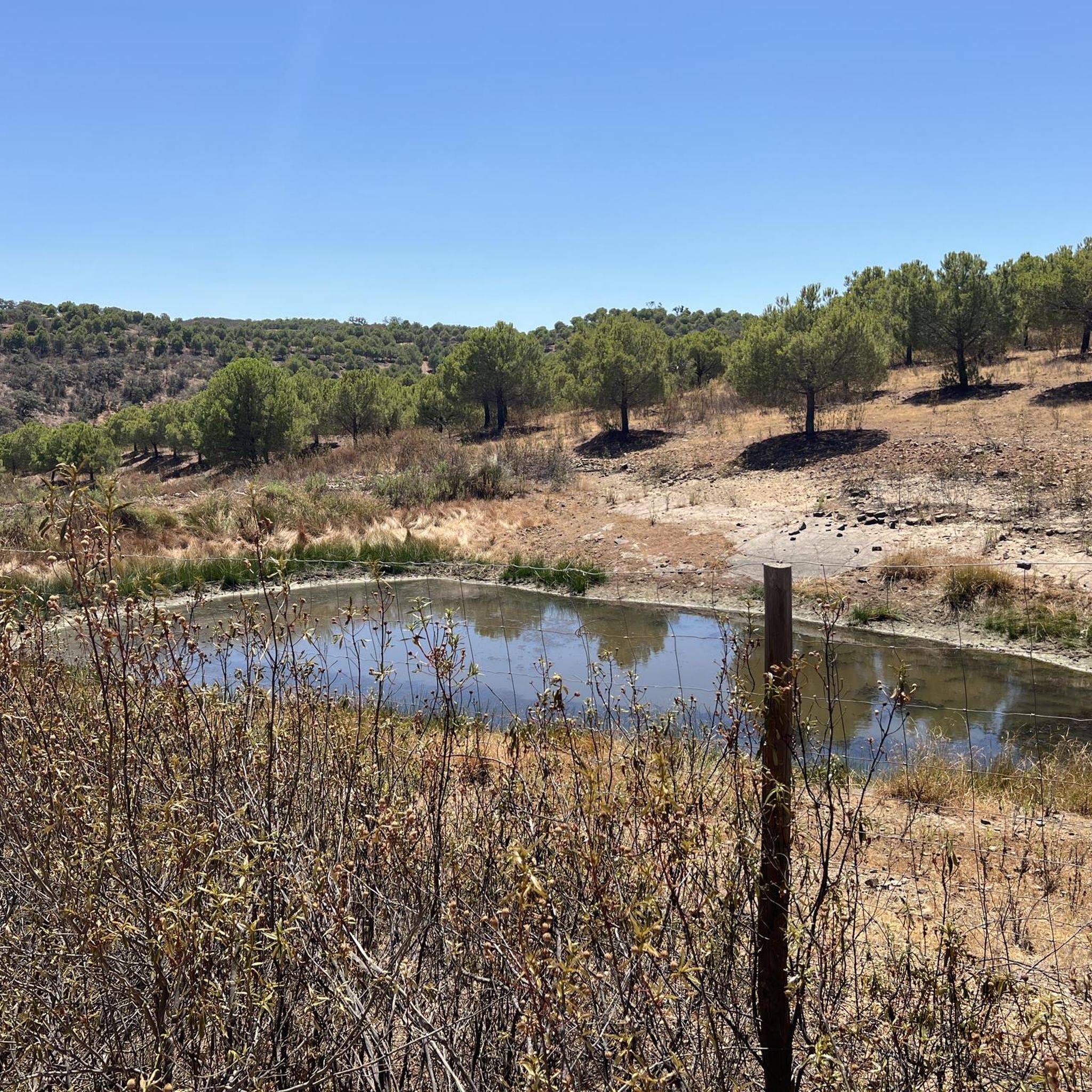
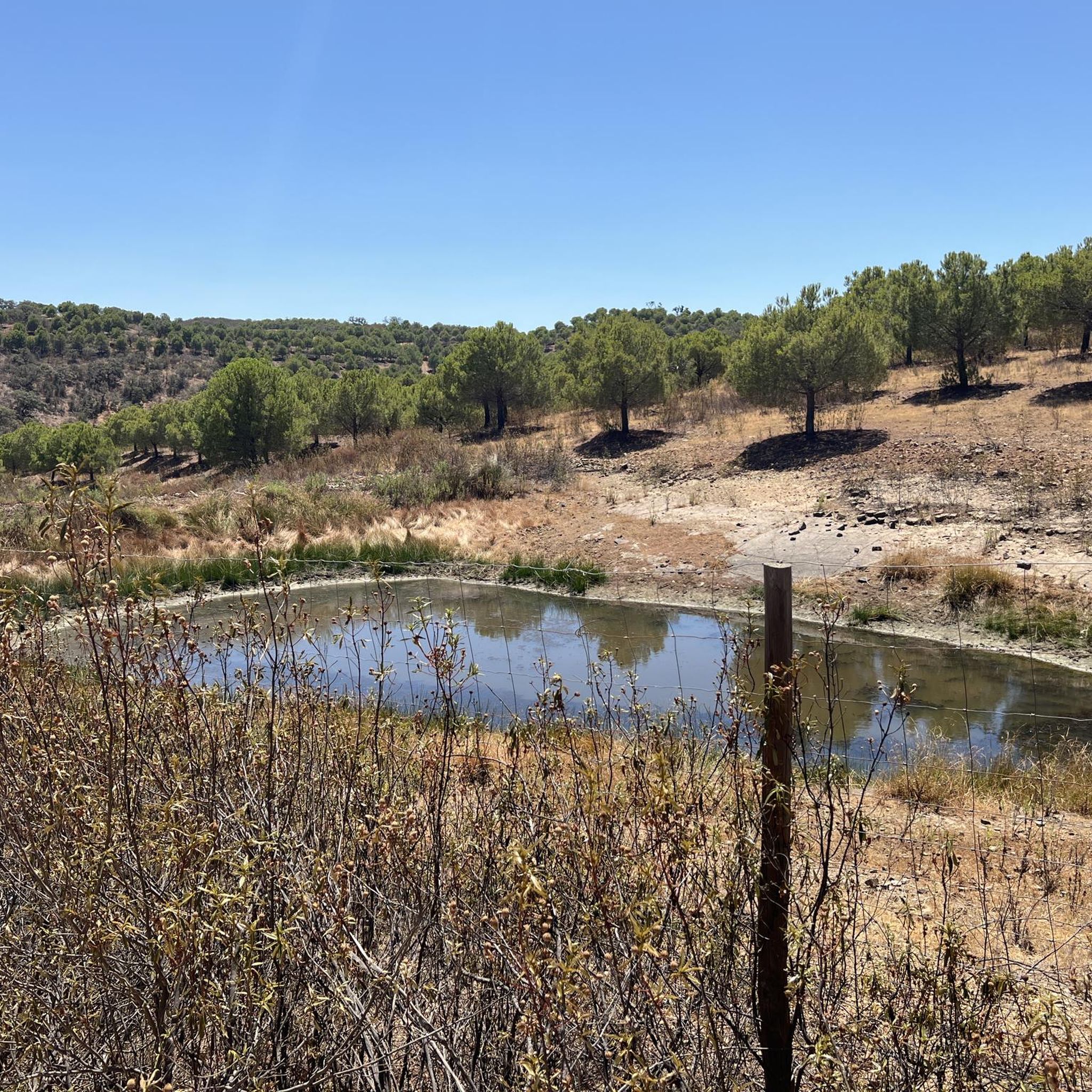
Fed by the Barranco das Hortas, Albugeira de Vaqueiros is the largest artificial lake in the region. The main objective of building the dam was to supply the demands of local agriculture. There is a small picnic park on its bank.
1
0
Secluded villages, centuries-old plantations and untouched nature. From this point on the road it is possible to admire a classic landscape of the Algarve interior region.
1
0
Anta da Masmorra, also known as Anta do Cerro da Masmorra, is a megalithic monument located in the parish of Cachopo. It was studied in the 1970s, and the structure indicates that it dates from the late Neolithic or Chalcolithic. It is associated with other archaeological sites in the region, such as Dungeon 2 and Dungeon 3.
2
0
Mealha is a small village in Tavira. Its main attraction is the rustic water fountain, located in the central part of the place, which still serves the local population. From here, several trails leave for the region.
2
0
The Cova dos Mouros Mining Park, located in Alcoutim, Portugal, is a theme park and archaeological site. It offers a thematic route that portrays the history of mining and metallurgy from the Chalcolithic period to the beginning of the 20th century. Furthermore, it serves as a reserve for animal species such as ostriches and donkeys, and is located on the former premises of the Cova dos Mouros Mine.
1
0
Frequently Asked Questions
What kind of terrain can I expect on running routes around Martim Longo?
Running routes in Martim Longo primarily feature the rolling hills of the Serra do Caldeirão, offering varied elevation changes and panoramic views. You'll find paths winding through cork oak forests, tranquil villages, and alongside the rich ecosystems of the Ribeira da Foupana. The terrain can range from gentle paths to more challenging ascents, providing a diverse experience for runners.
Are there any circular running routes in Martim Longo?
Yes, Martim Longo offers several circular running routes. A popular option is the Antas da Masmorra — circular route (PR8 TVR), which is 3.4 miles (5.4 km) long and takes about 40 minutes to complete, offering a journey through the local countryside.
What are some notable natural features or landmarks I might see while jogging in the area?
While jogging in Martim Longo, you can encounter several interesting natural and historical features. The region is known for its cork oak forests and the scenic banks of the Ribeira da Foupana. You might also pass by ancient sites like Anta da Masmorra or the Anta das Pedras Altas, which are historical sites. For a tranquil spot, consider routes near Fonte da Seiceira Natural Pool or Albufeira do Pereiro.
Are there any challenging running trails for experienced runners?
Absolutely. For experienced runners seeking a challenge, routes like the In Search of the Enchanted Valley Trail, at 8.6 miles (13.8 km) with significant elevation changes, are classified as difficult. Another demanding option is the Serro do Subidoiro – Cachopo loop from Cachopo, which is over 35 km long with substantial climbing.
What is the best time of year to go running in Martim Longo?
Martim Longo offers a pleasant environment for running, especially during spring and autumn when the weather is milder and the landscape is vibrant with wildflowers or rich autumnal colors. The region's tranquility and fresh air enhance the experience. Summer can be hot, so early mornings or late afternoons are preferable, while winter offers cooler temperatures suitable for longer runs.
Are there any family-friendly running options in Martim Longo?
While specific 'family-friendly' routes aren't explicitly categorized, the region's diverse network includes paths that are less strenuous. The Antas da Masmorra — circular route (PR8 TVR), being a moderate 3.4-mile (5.4 km) loop, could be suitable for families looking for a shorter, engaging run through the countryside.
Can I bring my dog on the running trails in Martim Longo?
Many trails in Martim Longo are suitable for running with dogs, allowing you to enjoy the natural landscape together. It's always recommended to keep your dog on a leash, especially in areas with wildlife or near agricultural land, and to carry water for both yourself and your pet. Please respect local signage regarding pet access.
Where can I find parking near the running routes in Martim Longo?
Martim Longo and nearby villages like Vaqueiros serve as peaceful starting points for many trails. Parking is generally available in these village centers, which often provide access to the broader trail network. Specific parking details for individual routes may vary, so checking the route details on komoot is advisable.
Are there places to eat or drink near the running trails?
Yes, Martim Longo and its surrounding areas offer options for refreshments. You might find local establishments like Montinho do Lobo or Tradição da Serra Snack Bar, which are highlighted as places to eat or grab a snack. These can be convenient stops before or after your run.
What makes the running experience in Martim Longo unique?
The running experience in Martim Longo is unique due to its serene and bucolic atmosphere, offering an ideal escape for active recreation. The combination of the rolling hills of the Serra do Caldeirão, the peaceful village settings, and the rich riverside ecosystems provides a diverse and engaging environment. The relatively untouched quality of the landscape ensures an immersive outdoor experience with minimal human intervention.
How many running routes are available in Martim Longo?
There are over 5 dedicated running routes around Martim Longo listed on komoot, catering to various difficulty levels. These routes traverse the region's diverse landscapes, from moderate loops to more challenging trail runs.
What is a good moderate-difficulty running route for a longer distance?
For a moderate yet longer run, the Hill Up, Hill Down Trail is an excellent choice. It's an 8.1-mile (13.0 km) path that provides significant elevation changes, reflecting the hilly terrain of the Serra do Caldeirão, and is a favorite among local runners.
Most popular routes around Martim Longo
Most popular attractions around Martim Longo

Get inspired with the komoot mobile app


Explore more
Browse the best Running Trails & Routes in other regions.
