The best walks and hikes around Meda De Mouros
4.7
(39)
148
hikers
5
hikes
Hiking around Meda De Mouros offers a variety of trails through diverse landscapes. The region is characterized by eucalyptus forests, river valleys, and features such as waterfalls and lagoons. Hikers can explore paths that connect picnic areas with natural attractions and traditional villages. The terrain includes gentle river walks and moderate ascents, providing options for different fitness levels.
Best hiking trails around Meda De Mouros
- The most popular hiking route is Picnic Area – Eucalyptus Forest Trail loop from Serra…
Last updated: July 8, 2026
4.7
(19)
73
hikers
Moderate hike. Good fitness required. Easily-accessible paths. Suitable for all skill levels.
5.0
(1)
8
hikers
Easy hike. Great for any fitness level. Easily-accessible paths. Suitable for all skill levels.

Sign up for free
4.0
(2)
9
hikers
6.63km
02:06
280m
280m
Moderate hike. Good fitness required. Easily-accessible paths. Suitable for all skill levels.
5.0
(1)
2
hikers
5.43km
01:28
80m
80m
Easy hike. Great for any fitness level. Easily-accessible paths. Suitable for all skill levels.
2
hikers
7.14km
02:06
190m
190m
Moderate hike. Good fitness required. Easily-accessible paths. Suitable for all skill levels.
Our route recommendations are based on thousands of hikes, rides, and runs completed by other people on komoot.
Start today with a free account
Your next adventure awaits.
Login or Signup


Tips from the Community

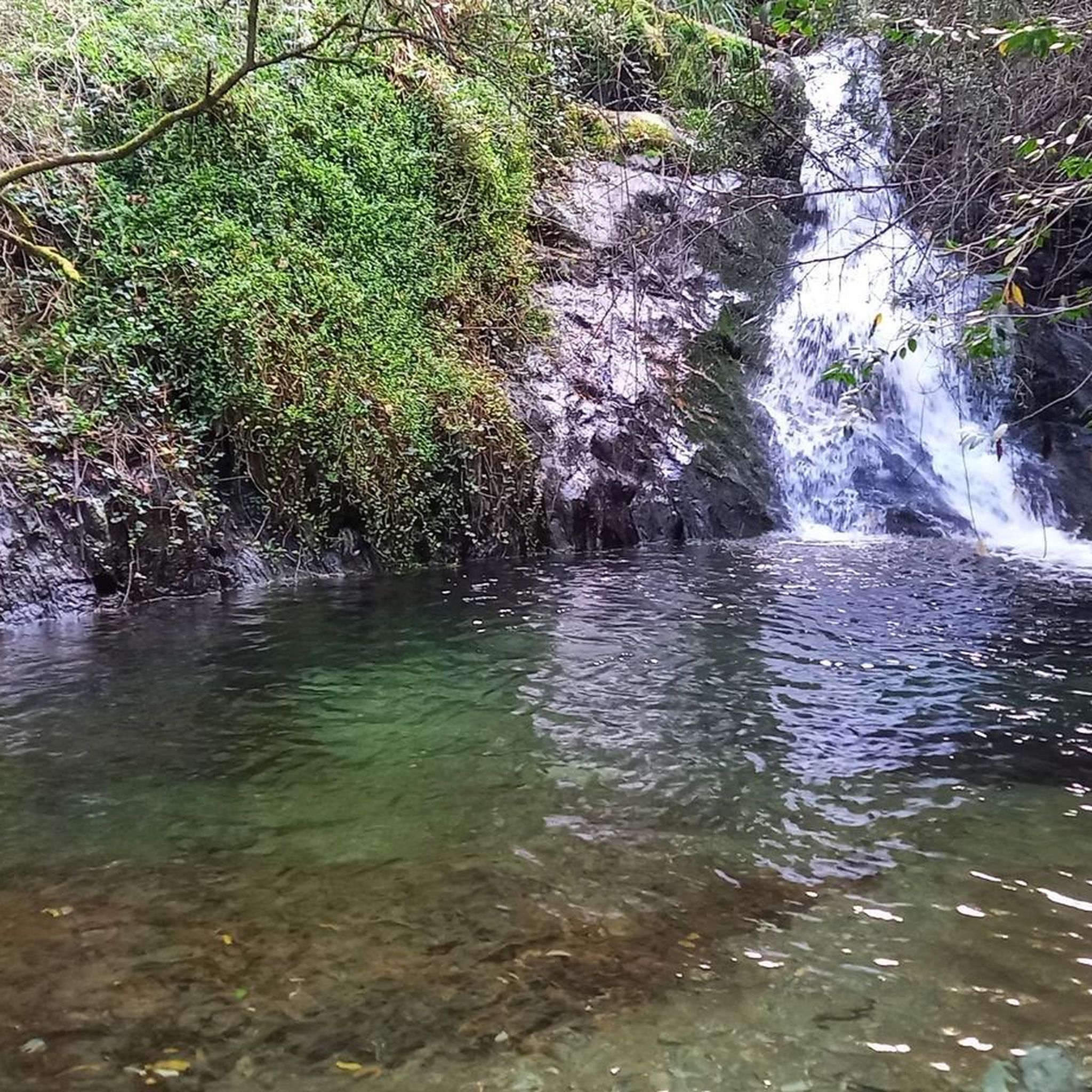
The Fraga da Pena Waterfall, located in the Serra do Açor Protected Landscape, is a geological feature crossed by the Barroca de Degraínhos, creating a series of successive waterfalls. The waterfall is 19 meters high. Along its banks are some ancient specimens of the Portuguese oak (Quercus robur) and the chestnut tree (Castanea sativa), as well as the strawberry tree (Arbutus unedo), the thorny Daphne gnidium, and the adernos (Phillyrea latifolia and P. angustifolia).
2
0

In the heart of the protected landscape of the Serra do Açor, Fraga da Pena is a natural spectacle sculpted by time. The Barroca de Degraínhos creates a succession of waterfalls, culminating in an impressive 19-metre cascade that descends in crystal clear veils over the rock.
4
0
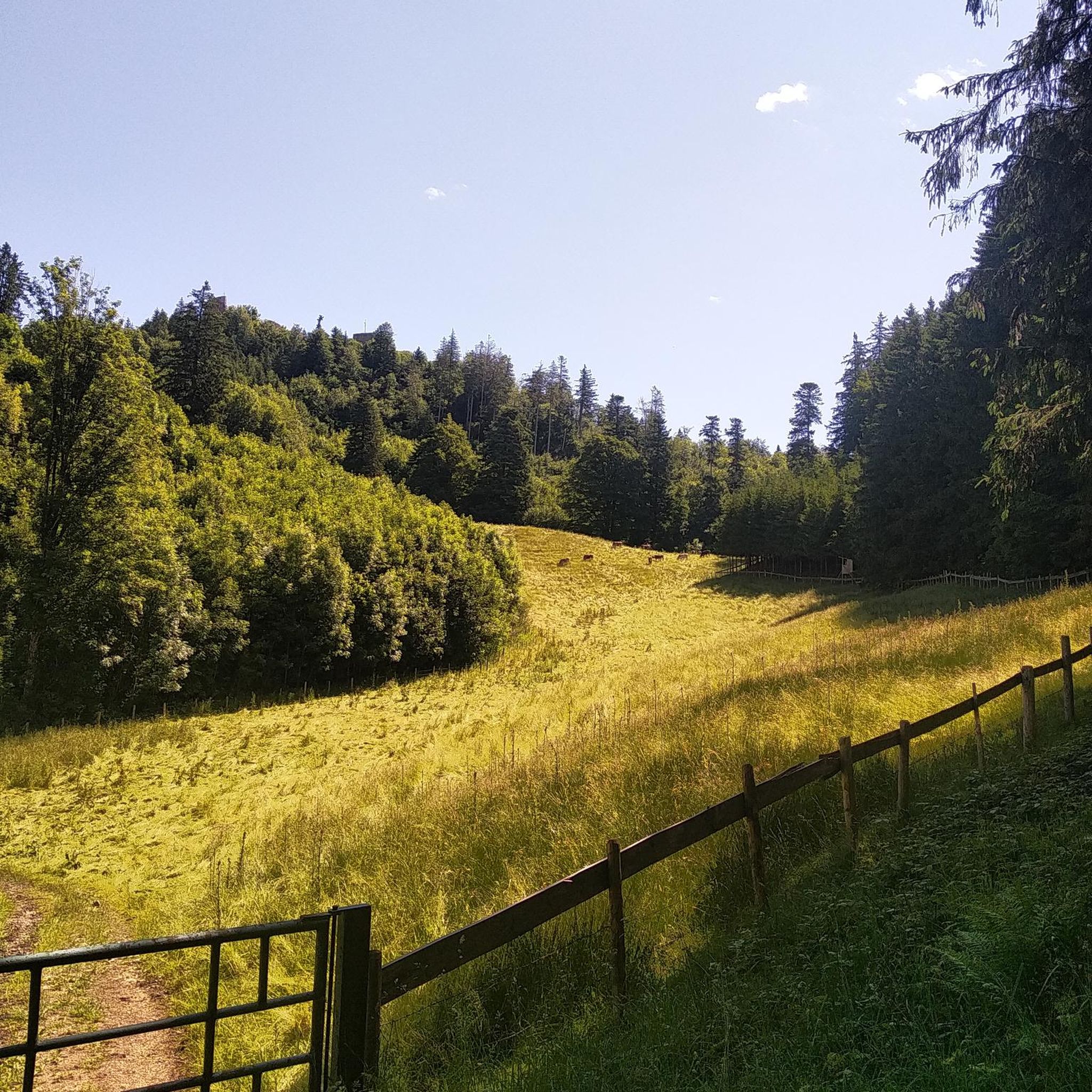
Due to the steep slope of this region, the route moves away from the river and follows old rural paths, where stone steps mark the ascent. The route requires caution, especially when crossing areas where the water has carved its own path in the rock. At the top of the ridge, the reward is a breathtaking view over the valley. In the distance, Benfeita stands out, one of the "white villages" of the network of schist villages, nestled on the edge of the protected landscape of the Serra do Açor.
2
0

Frequently Asked Questions
How many hiking trails are available in Meda De Mouros?
Meda De Mouros offers several distinct hiking trails, with a total of 5 routes detailed in this guide. These range from easy river walks to moderate forest trails, ensuring options for various fitness levels.
Are there easy or family-friendly hiking options in Meda De Mouros?
Yes, Meda De Mouros has easy and family-friendly options. For a shorter, gentle walk, consider the Fraga da Pena Waterfall – Pardieiros Village loop from Serra do Açor Protected Landscape, which is 2.4 km. Another accessible choice is the River Walk – Alagoa Villages Along the Road loop from Arganil, an easy 5.4 km route that follows the river.
What kind of natural attractions can I expect to see on the trails?
The trails in Meda De Mouros are known for their natural beauty, including eucalyptus forests, river valleys, and impressive waterfalls. You can visit the renowned Fraga da Pena Waterfall, or explore a hidden waterfall and lagoon on the Picnic Area – Secret Waterfall and Lagoon loop from Benfeita.
Are there any circular hiking routes in Meda De Mouros?
All the hiking routes featured in this guide for Meda De Mouros are circular. This means you can start and end your hike at the same point, making logistics simpler. Examples include the Picnic Area – Eucalyptus Forest Trail loop from Serra do Açor Protected Landscape and the Pardieiros Village – Fraga da Pena Waterfall loop from Benfeita.
What is the best time of year to go hiking in Meda De Mouros?
The region generally offers pleasant hiking conditions for much of the year. Spring and autumn provide mild temperatures and vibrant scenery, while summer can be warm, making early morning or late afternoon hikes ideal. Winter offers a different, often quieter, experience, though some paths might be wetter.
Are the hiking trails in Meda De Mouros dog-friendly?
Many trails in Meda De Mouros are suitable for dogs, especially those that traverse natural landscapes like eucalyptus forests and river paths. It's always advisable to keep dogs on a leash, especially near wildlife or in more populated areas, and to carry water for them.
What do other hikers say about the trails in Meda De Mouros?
The hiking experiences in Meda De Mouros are highly regarded by the komoot community, with an average rating of 4.7 stars from over 30 reviews. Hikers often praise the diverse landscapes, from dense eucalyptus forests to scenic waterfalls, and the well-maintained paths.
Are there any villages or settlements to explore near the hiking routes?
Yes, several routes connect to or pass by charming villages. For instance, the Pardieiros Village – Fraga da Pena Waterfall loop from Benfeita links a village with the waterfall. You can also find settlements like Côja and Aldeia do Sardal nearby, offering glimpses into local life.
Is parking available at the trailheads in Meda De Mouros?
While specific parking information for each trailhead isn't always detailed, many routes, particularly those starting from picnic areas or villages, typically have designated or informal parking spots nearby. It's recommended to check the tour details on komoot for specific starting points and potential parking advice.
Can I find cafes or refreshment stops along the hiking trails?
The trails in Meda De Mouros often pass through or near small villages, which may offer local cafes or small shops for refreshments. For example, routes that connect to Benfeita or Pardieiros Village might provide opportunities for a break. It's always a good idea to carry sufficient water and snacks, especially on longer routes.
What kind of wildlife might I encounter while hiking?
The diverse ecosystems of Meda De Mouros, including forests and river valleys, support various wildlife. Hikers might spot a range of bird species, small mammals, and insects. The region's natural setting provides a habitat for local fauna, offering opportunities for nature observation.
Are there any viewpoints with scenic vistas in Meda De Mouros?
Yes, the varied terrain of Meda De Mouros includes elevated areas that offer beautiful views. You can find stunning perspectives such as the View of the Alva River Valley and the View of Benfeita, providing memorable photo opportunities.
Most popular routes around Meda De Mouros
Most popular attractions around Meda De Mouros

Get inspired with the komoot mobile app


Explore more
Browse the best Hikes in other regions.
