The best road cycling routes around Lousã e Vilarinho e Vilarinho e Vilarinho
4.6
(52)
1,538
riders
44
rides
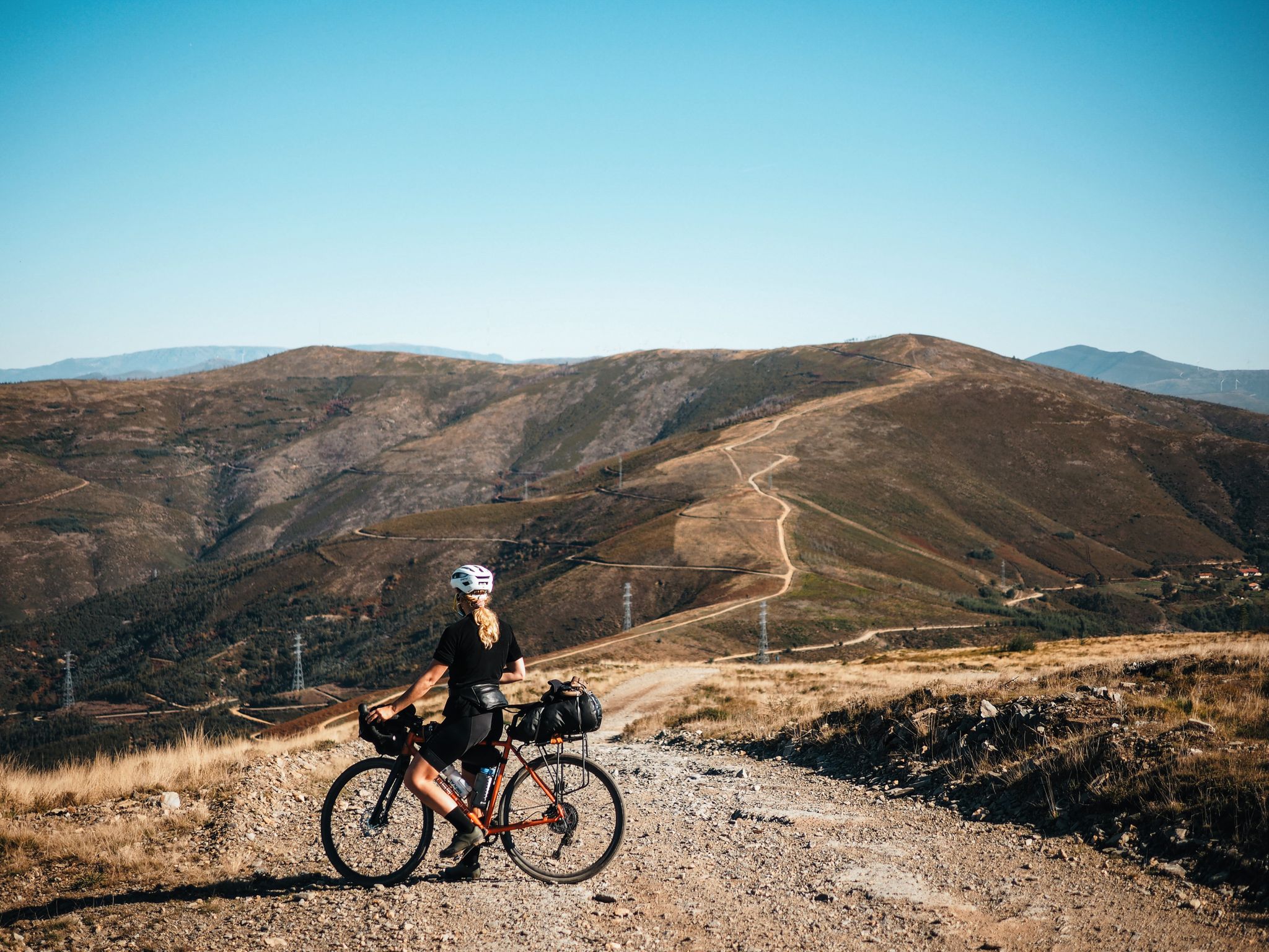
Road cycling around Lousã e Vilarinho offers diverse landscapes and challenging terrains within the Coimbra District of Portugal. The region is dominated by the Serra da Lousã mountains, providing significant elevation gains and varied routes. Cyclists will find mostly well-paved surfaces, with some segments potentially unpaved. This area is recognized for its natural beauty and suitability for diverse cycling experiences.
Best road cycling routes in Lousã e Vilarinho
- The most popular road cycling route is CIMA PR09: Alto do Trevim - Lousã, a 33.5 miles (53.9 km) trail that takes 3 hours 19 minutes to complete. This difficult route connects Lousã village to Alto do Trevim, the highest point in Serra da Lousã.
- Another top favourite among local road cyclists is Talasnal Schist Village – Candal Schist Village loop from Lousã, a difficult 62.3 miles (100.2 km) path. This route winds through picturesque Aldeias do Xisto (Schist Villages), offering a glimpse into traditional Portuguese life.
- Local road cyclists also love the Loureiro Picnic Park – Palheiros River Beach loop from Lousã, a 43.6 miles (70.2 km) trail leading through river valleys and natural pools, often completed in about 3 hours 20 minutes.
- Road cycling in Lousã e Vilarinho is defined by the Serra da Lousã mountains, ancient Aldeias do Xisto, and scenic river valleys. The network offers options for different ability levels, from moderate to difficult.
- The routes in Lousã e Vilarinho are highly rated by the komoot community with an average score of 4.4 stars from more than 40 reviews. More than 1000 road cyclists have used komoot to explore Lousã e Vilarinho's varied terrain.
Last updated: October 24, 2026
5.0
(2)
107
riders
53.9km
03:19
1,400m
1,400m
198
riders
99.4km
05:28
2,030m
2,030m
Hard road ride. Very good fitness required. Some segments of this route may be unpaved and difficult to ride.

3.9
(21)
125
riders
69.6km
03:17
780m
780m
Moderate road ride. Good fitness required. Mostly well-paved surfaces and easy to ride.
103
riders
83.3km
04:35
1,710m
1,710m
Hard road ride. Very good fitness required. Some segments of this route may be unpaved and difficult to ride.
5.0
(1)
53
riders
59.3km
02:40
590m
590m
Moderate road ride. Good fitness required. Some segments of this route may be unpaved and difficult to ride.
Get access to more routes and recommendations from other explorers.
Already have an account?
Our route recommendations are based on thousands of hikes, rides, and runs completed by other people on komoot.
Start today with a free account
Your next adventure awaits.
Popular around Lousã e Vilarinho e Vilarinho e Vilarinho



Other adventures around Lousã e Vilarinho e Vilarinho e Vilarinho

Tips from the Community

The Ceira River is a mountain river with crystal-clear waters that flows through the municipality of Góis.
0
0

The Ponte Real (or Ponte Velha) over the Ceira River is located in the village of Góis, being one of the historical ex-libris of the region. This medieval-style bridge, later reformed, is an important tourist attraction, crossing the Ceira River, a left-bank tributary of the Mondego River, which originates in the Serra do Açor. Location: Center of the village of Góis, facilitating pedestrian access. Characteristics: Imposing structure with stone arches, typical of crossing constructions from the monarchical period. Surroundings: The Ceira River, near this area, offers river beaches highly sought after during the summer, standing out for the quality of the water and tranquility. History: It is part of the built heritage from the Manueline/medieval period of the region.
1
0

"Terreiro das Bruxas" is a place in the middle of nature for resting after a hike and for picnics; it has restrooms and drinking water.
0
0

There are two beautiful avenues under different trees.
1
0

Candal is part of the so-called "Serra da Lousã", an area characterized by lush nature and breathtaking landscapes. This village is a typical example of the "aldeias de xisto" (schist villages), built entirely with local stone, which integrate harmoniously into the surrounding environment. Candal offers an atmosphere of peace and tranquility, with its traditional houses, waterways and paths surrounded by vegetation.
1
0

Very good cafe, opens early, always fresh home-made pastries, delicious coffee. Prices are pleasing, staff is friendly.
0
0

From the opposite bank you can see the river beach of Palheiros and its beautiful pedestrian/cycling bridge. Quiet and familiar place where you can enjoy the landscape.
2
0
There are tables, toilets, maps of the area. Nice place to relax.
1
0
Frequently Asked Questions
How many road cycling routes are available in the Lousã e Vilarinho region?
The Lousã e Vilarinho region offers a wide variety of road cycling routes. There are over 45 routes available, catering to different skill levels, from moderate to difficult.
What kind of terrain and difficulty can I expect on road cycling routes in Lousã e Vilarinho?
Road cycling in Lousã e Vilarinho is characterized by the challenging terrain of the Serra da Lousã mountains, featuring significant elevation gains. Routes range from moderate to difficult, with mostly well-paved surfaces, though some segments might be unpaved. You'll encounter climbs like the one to Alto do Trevim, which can involve around 1,000 meters of climbing over 20 km.
What natural features and landmarks can I explore while road cycling in Lousã e Vilarinho?
The region is rich in natural beauty and historical sites. You can cycle past the ancient Senhora da Piedade River Pool, explore the picturesque Aldeias do Xisto (Schist Villages) like Talasnal and Candal, or visit the historic Lousã Castle. Routes also offer breathtaking viewpoints across the Serra da Lousã and opportunities to see waterfalls such as Pedra Ferida Waterfall.
Are there circular road cycling routes available in Lousã e Vilarinho?
Yes, many routes in the region are designed as loops. For instance, you can enjoy the challenging Talasnal Schist Village – Candal Schist Village loop from Lousã, which covers over 100 km and passes through several traditional villages. Another option is the Loureiro Picnic Park – Palheiros River Beach loop from Lousã, a moderate 70 km ride through river valleys.
Are there any particularly challenging climbs for experienced road cyclists?
Absolutely. The region is known for its demanding climbs. A prime example is the ascent to Alto do Trevim, the highest point in Serra da Lousã at 1,202 meters. The route CIMA PR09: Alto do Trevim - Lousã is a difficult 53.9 km ride with over 1,400 meters of elevation gain, offering panoramic views as a reward.
Can I cycle through the famous Schist Villages in Lousã e Vilarinho?
Yes, the Aldeias do Xisto (Schist Villages) are a highlight of the region and accessible by road bike. Routes like the Talasnal Schist Village – Candal Schist Village loop from Lousã allow you to experience these ancient stone hamlets, including Talasnal, Candal, and others, offering a unique cultural and scenic experience.
Are there routes that pass by river beaches or waterfalls where I can cool off?
Yes, several routes incorporate the region's beautiful river beaches and natural pools. The Loureiro Picnic Park – Palheiros River Beach loop from Lousã is a great option. You can also find spots like Praia Fluvial da Senhora da Piedade, known for its crystal-clear pools, and the Ribeira de Espinho Waterfalls, perfect for a refreshing stop.
When is the best time of year for road cycling in Lousã e Vilarinho?
The region generally offers good conditions for road cycling for much of the year. Spring and autumn typically provide pleasant temperatures and vibrant landscapes, making them ideal. Summer can be warm, but the presence of river beaches and shaded forest sections can offer relief. Winter rides are possible, but check local weather conditions for potential rain or colder temperatures at higher elevations.
What do other road cyclists enjoy most about road cycling in Lousã e Vilarinho?
The area is highly rated by the komoot community, with an average score of 4.4 stars from over 40 reviews. Cyclists frequently praise the diverse landscapes, the challenging climbs, and the unique experience of riding through the historic Schist Villages. The combination of natural beauty and cultural heritage makes it a memorable destination.
Are there any longer, multi-day road cycling options in the area?
While many routes are designed for day trips, the extensive network and the region's connection to the iconic National Road 2 (EN2) allow for longer, multi-day explorations. For example, the Penela Castle – Castelo de Penela loop from Lousã is a challenging 138.8 km route that could be part of a larger tour, connecting various points of interest and offering significant elevation.
Can I find routes that are less strenuous for a more relaxed ride?
While the region is known for its challenging terrain, there are also moderate options available. For instance, the Loureiro Picnic Park – Palheiros River Beach loop from Lousã is a moderate 70.2 km route with less intense elevation gain compared to the mountain climbs, allowing for a more relaxed pace while still enjoying the scenic river valleys.
Most popular routes around Lousã e Vilarinho e Vilarinho e Vilarinho
Most popular attractions around Lousã e Vilarinho e Vilarinho e Vilarinho

Get inspired with the komoot mobile app


Explore more
Browse the best Road cycling routes in other regions.
