The best walks and hikes around Celavisa
4.4
(49)
206
hikers
10
hikes
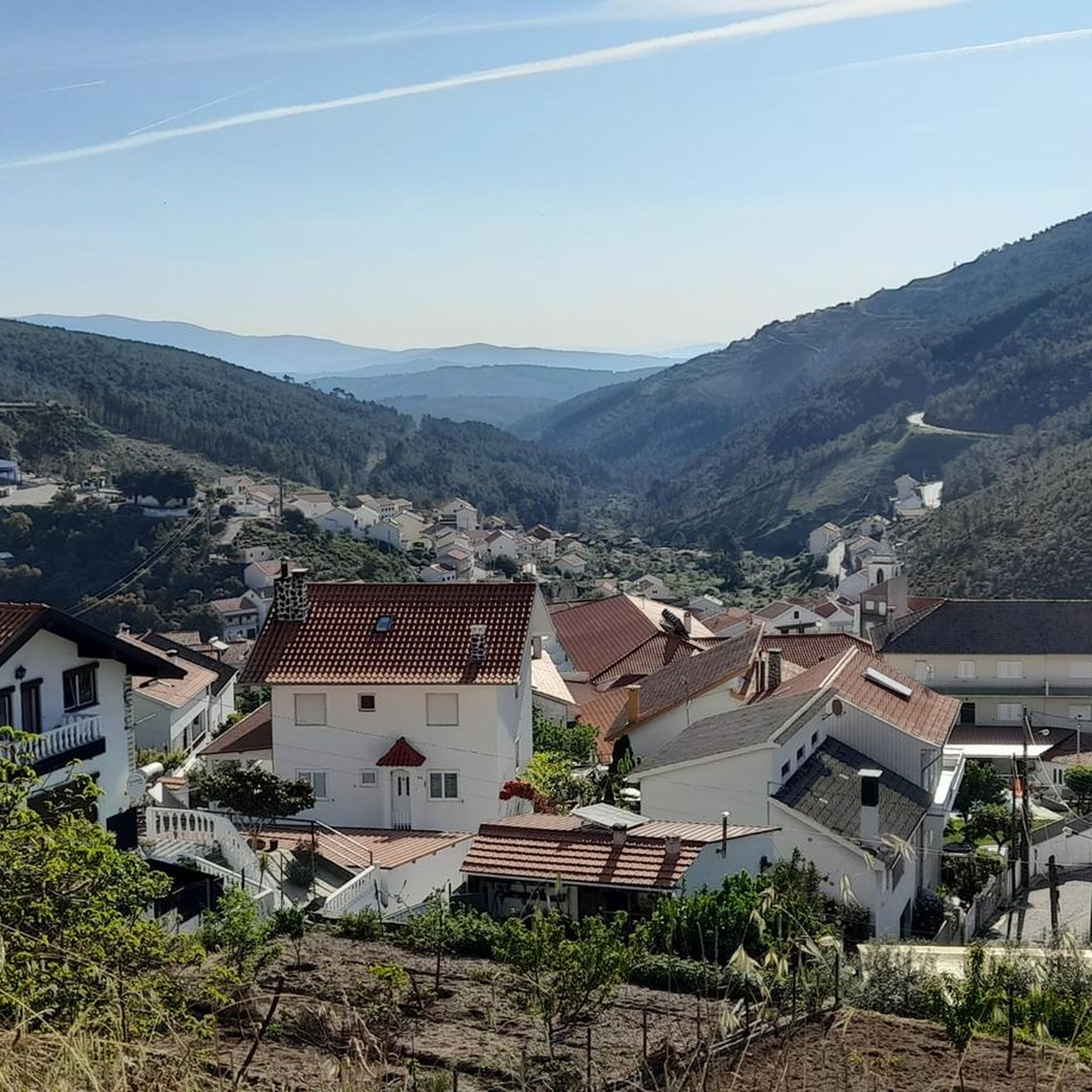
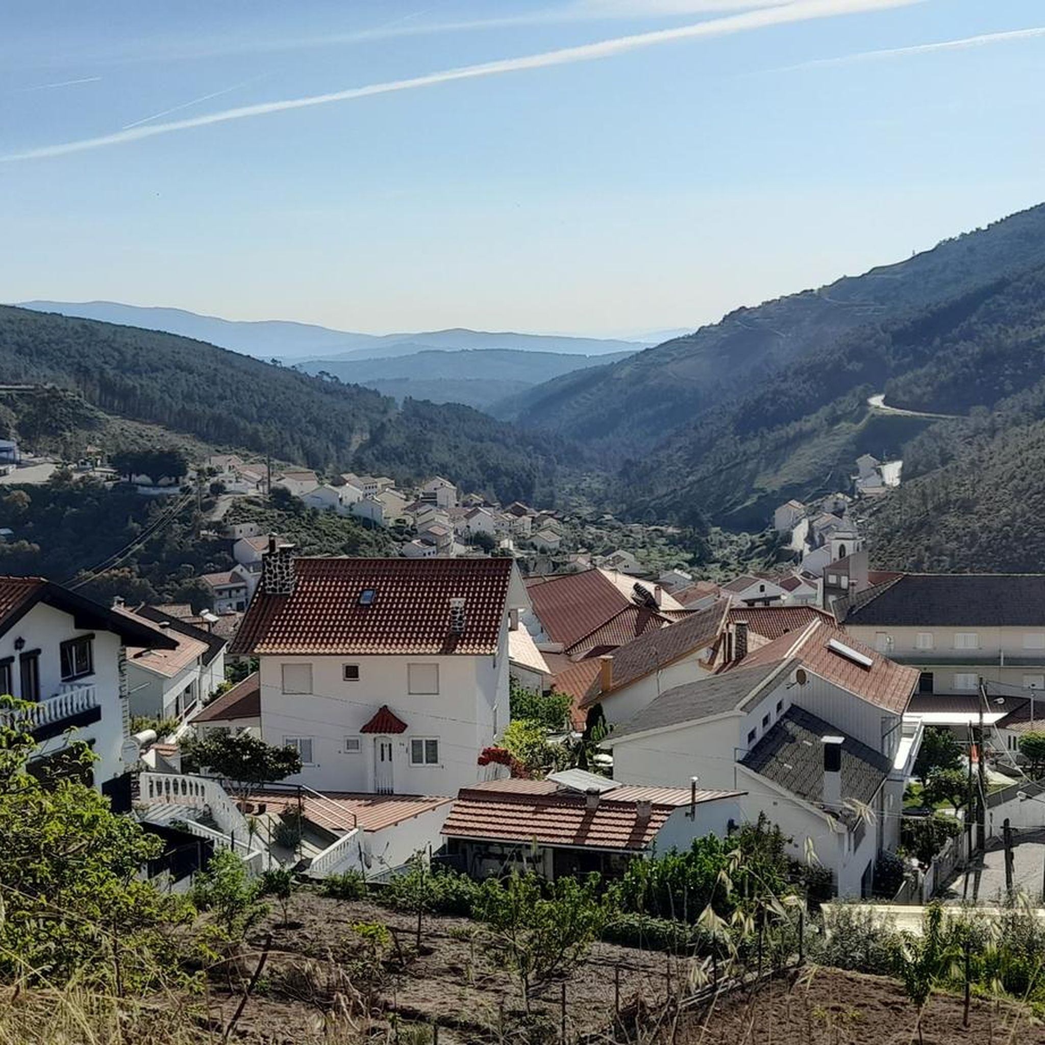
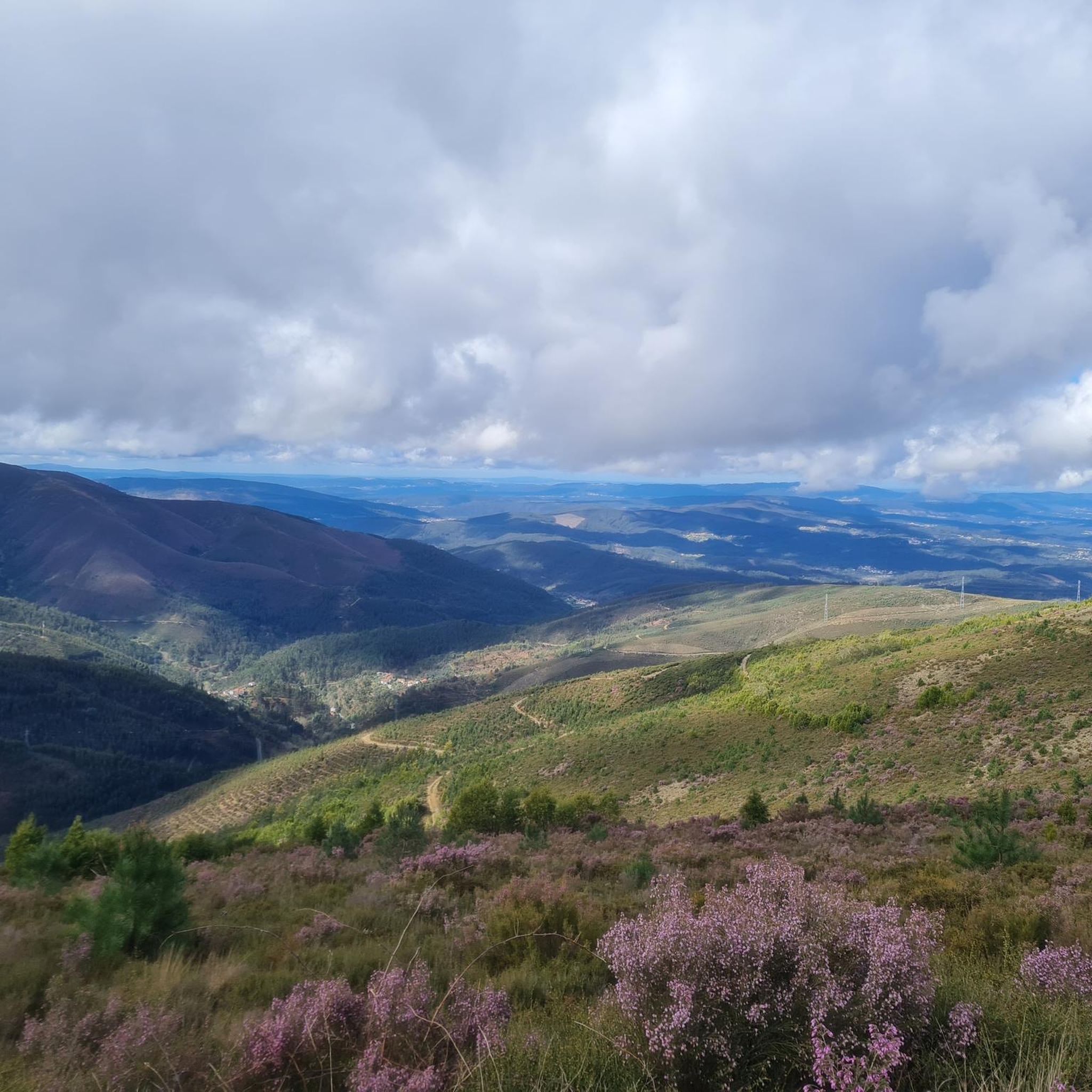
Hiking around Celavisa reveals a landscape characterized by river canyons, eucalyptus forests, and notable waterfalls. The region's terrain features varied elevations, from gentle riverside paths to more undulating forest trails. Schist rock formations and natural springs are also part of the area's geological composition.
Best hiking trails around Celavisa
- The most popular hiking route is Picnic Area – Eucalyptus Forest Trail loop from Serra do Açor Protected Landscape, a 6.3 miles (10.1 km) moderate trail that takes 3 hours…
Last updated: October 25, 2026
4.7
(20)
72
hikers
Moderate hike. Good fitness required. Easily walkable paths.
4.0
(3)
18
hikers
Moderate hike. Good fitness required. Easily walkable paths.

5.0
(1)
8
hikers
Easy hike. Easily walkable paths.
4.5
(2)
7
hikers
11.5km
03:17
270m
270m
Moderate hike. Good fitness required. Easily walkable paths.
5.0
(1)
8
hikers
Moderate hike. Good fitness required. Easily walkable paths.
Get access to more routes and recommendations from other explorers.
Already have an account?
Our route recommendations are based on thousands of hikes, rides, and runs completed by other people on komoot.
Start today with a free account
Your next adventure awaits.
Tips from the Community

The Ceira River is a mountain river with crystal-clear waters that flows through the municipality of Góis.
0
0

The Ponte Real (or Ponte Velha) over the Ceira River is located in the village of Góis, being one of the historical ex-libris of the region. This medieval-style bridge, later reformed, is an important tourist attraction, crossing the Ceira River, a left-bank tributary of the Mondego River, which originates in the Serra do Açor. Location: Center of the village of Góis, facilitating pedestrian access. Characteristics: Imposing structure with stone arches, typical of crossing constructions from the monarchical period. Surroundings: The Ceira River, near this area, offers river beaches highly sought after during the summer, standing out for the quality of the water and tranquility. History: It is part of the built heritage from the Manueline/medieval period of the region.
1
0
The Fraga da Pena Waterfall, located in the Serra do Açor Protected Landscape, is a geological feature crossed by the Barroca de Degraínhos, creating a series of successive waterfalls. The waterfall is 19 meters high. Along its banks are some ancient specimens of the Portuguese oak (Quercus robur) and the chestnut tree (Castanea sativa), as well as the strawberry tree (Arbutus unedo), the thorny Daphne gnidium, and the adernos (Phillyrea latifolia and P. angustifolia).
2
0

It is best to do this in the morning, when there is still shade in the forest.
0
0

In the heart of the protected landscape of the Serra do Açor, Fraga da Pena is a natural spectacle sculpted by time. The Barroca de Degraínhos creates a succession of waterfalls, culminating in an impressive 19-metre cascade that descends in crystal clear veils over the rock.
4
0
Due to the steep slope of this region, the route moves away from the river and follows old rural paths, where stone steps mark the ascent. The route requires caution, especially when crossing areas where the water has carved its own path in the rock. At the top of the ridge, the reward is a breathtaking view over the valley. In the distance, Benfeita stands out, one of the "white villages" of the network of schist villages, nestled on the edge of the protected landscape of the Serra do Açor.
2
0

Beautiful nature, ideal for a refreshing dip in the water or a dip in the water.
1
0

Frequently Asked Questions
How many hiking trails are available around Celavisa?
There are 10 hiking trails available around Celavisa, offering a variety of experiences from easy walks to moderate ascents. These routes are highly rated by the komoot community.
What kind of landscape can I expect when hiking in Celavisa?
Hiking around Celavisa reveals a landscape characterized by river canyons, dense eucalyptus forests, and notable waterfalls. The terrain features varied elevations, from gentle riverside paths to more undulating forest trails, with schist rock formations and natural springs also part of the area's geological composition.
What do other hikers enjoy most about the trails in Celavisa?
The trails in Celavisa are highly rated by the komoot community, with an average score of 4.7 stars from over 40 reviews. Hikers often praise the diverse scenery, including river canyons and eucalyptus woodlands, and the well-maintained paths that offer a range of options for different ability levels.
Are there easy hiking trails suitable for beginners or families in Celavisa?
Yes, Celavisa offers 4 easy hiking trails perfect for beginners or families. A great option is the Fraga da Pena Waterfall – Pardieiros Village loop from Serra do Açor Protected Landscape, an easy 1.5-mile (2.5 km) trail that leads to a beautiful waterfall and takes about 45 minutes to complete.
Are there any hikes that feature waterfalls in Celavisa?
Absolutely! The region is known for its waterfalls. The Fraga da Pena Waterfall – Pardieiros Village loop from Serra do Açor Protected Landscape specifically leads to the stunning Fraga da Pena Waterfall. You'll find this natural attraction to be a highlight of your hike.
Can I find circular hiking routes in Celavisa?
Yes, many of the trails in Celavisa are circular, offering convenient starting and ending points. Popular loop routes include the Picnic Area – Eucalyptus Forest Trail loop from Serra do Açor Protected Landscape and the Canyon do Rio Ceira – Garganta do Ceira loop from Garganta do Cabril do Ceira.
Are there places to explore or interesting landmarks near the hiking trails?
Beyond the trails, Celavisa is surrounded by interesting natural features and charming villages. You can explore the dramatic Garganta do Ceira gorge, or visit picturesque schist villages like Fajão, Côja, and Aldeia do Sardal, which are often accessible from or near hiking routes.
What is the best time of year to go hiking in Celavisa?
The best time to hike in Celavisa is typically during spring (April to June) and autumn (September to October). During these seasons, the weather is mild and pleasant, and the natural scenery is at its most vibrant, with blooming wildflowers in spring and rich foliage in autumn. Summers can be very hot, and winters may bring rain.
Are the hiking trails in Celavisa suitable for dogs?
Most hiking trails in Celavisa are generally dog-friendly, allowing you to enjoy the natural beauty with your canine companion. However, it's always recommended to keep dogs on a leash, especially in protected areas or near livestock, and to carry water for them, particularly on longer routes.
Are there any wild swimming spots near the hiking trails?
Given the region's characteristic river canyons and natural springs, there are often opportunities for wild swimming. The Ceira River, which features prominently in routes like the Canyon do Rio Ceira – Garganta do Ceira loop, offers refreshing spots to cool off, especially during warmer months. Always check local conditions and safety before entering the water.
What are the parking options for trailheads in Celavisa?
Parking is generally available at or near the main trailheads and popular starting points in Celavisa, especially in areas like the Serra do Açor Protected Landscape or near villages. Look for designated parking areas or roadside spots where safe and permitted. It's advisable to arrive early during peak seasons to secure a spot.
Are there less crowded hiking options around Celavisa?
To experience a quieter hike, consider exploring some of the less-trafficked routes or hiking during off-peak hours (early mornings or late afternoons) and weekdays. While popular trails like those to Fraga da Pena Waterfall can attract visitors, many other paths through the eucalyptus forests and river valleys offer solitude.
Most popular routes around Celavisa
Most popular attractions around Celavisa

Get inspired with the komoot mobile app


Explore more
Browse the best Hikes in other regions.
