The best walks and hikes around Janeiro De Cima
4.6
(24)
79
hikers
7
hikes
Hiking around Janeiro De Cima offers diverse landscapes in Portugal's Beira Baixa region, situated on the Zêzere River and at the base of the Serra da Gardunha. The area is characterized by its unique schist architecture, riverine environments, and varied terrain ranging from river valleys to mountainous slopes. Trails often feature views of the Zêzere River's meanders and pass through traditional villages built with schist stone.
Best hiking trails around Janeiro De Cima
- The most popular hiking route is GeoRota…
Last updated: July 8, 2026
4.5
(8)
38
hikers
10.4km
03:13
360m
360m
Moderate hike. Good fitness required. Easily-accessible paths. Suitable for all skill levels.
5.0
(5)
13
hikers
2.80km
00:53
120m
120m
Easy hike. Great for any fitness level. Easily-accessible paths. Suitable for all skill levels.

Sign up for free
5.0
(4)
10
hikers
2.62km
00:51
120m
120m
Easy hike. Great for any fitness level. Easily-accessible paths. Suitable for all skill levels.
4.3
(3)
11
hikers
9.11km
02:32
170m
170m
Moderate hike. Good fitness required. Easily-accessible paths. Suitable for all skill levels.
4.0
(3)
3
hikers
10.4km
03:16
390m
390m
Moderate hike. Good fitness required. Easily-accessible paths. Suitable for all skill levels.
Get access to more routes and recommendations from other explorers.
Sign up for free
Already have an account?
Our route recommendations are based on thousands of hikes, rides, and runs completed by other people on komoot.
Start today with a free account
Your next adventure awaits.
Login or Signup
Popular around Janeiro De Cima
Tips from the Community

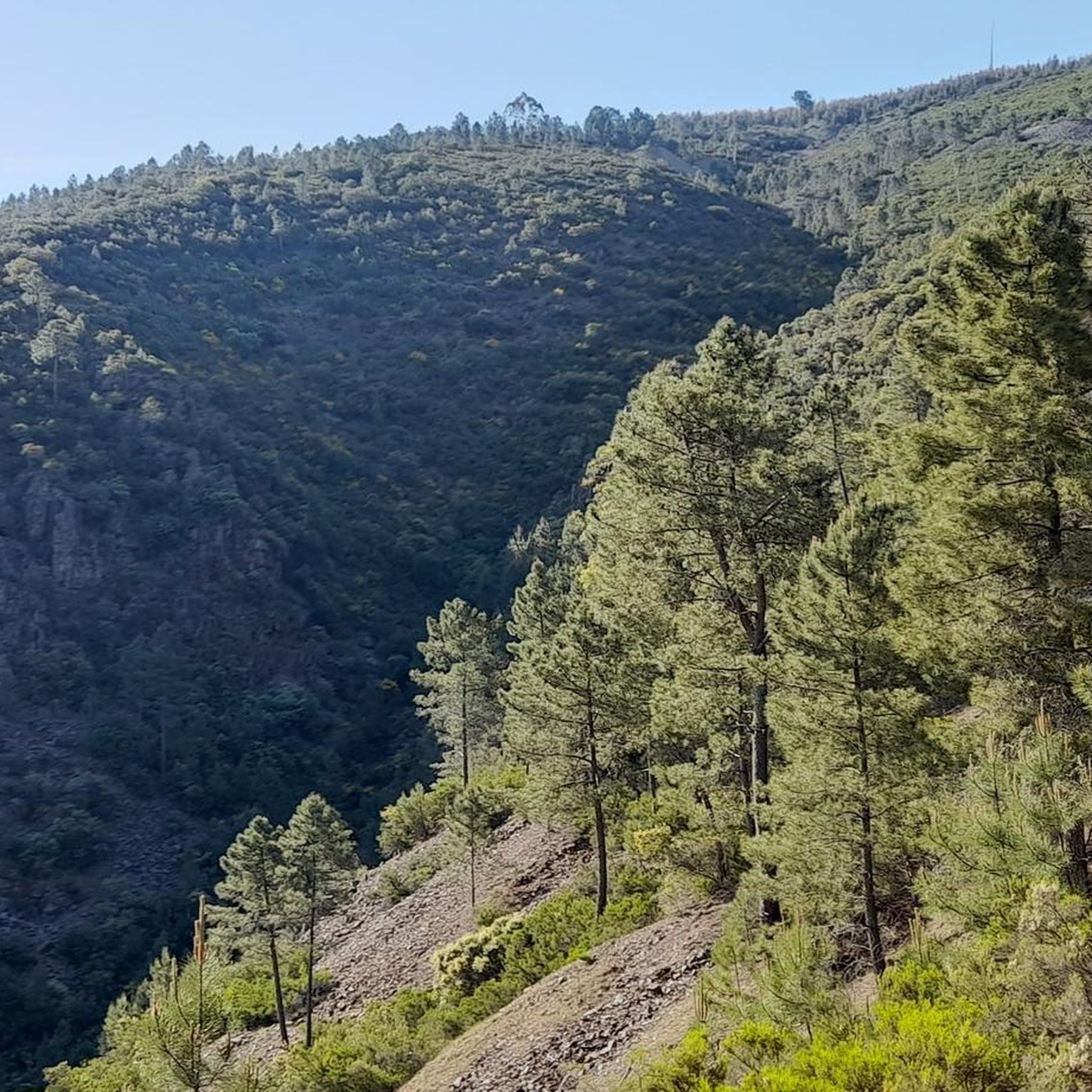
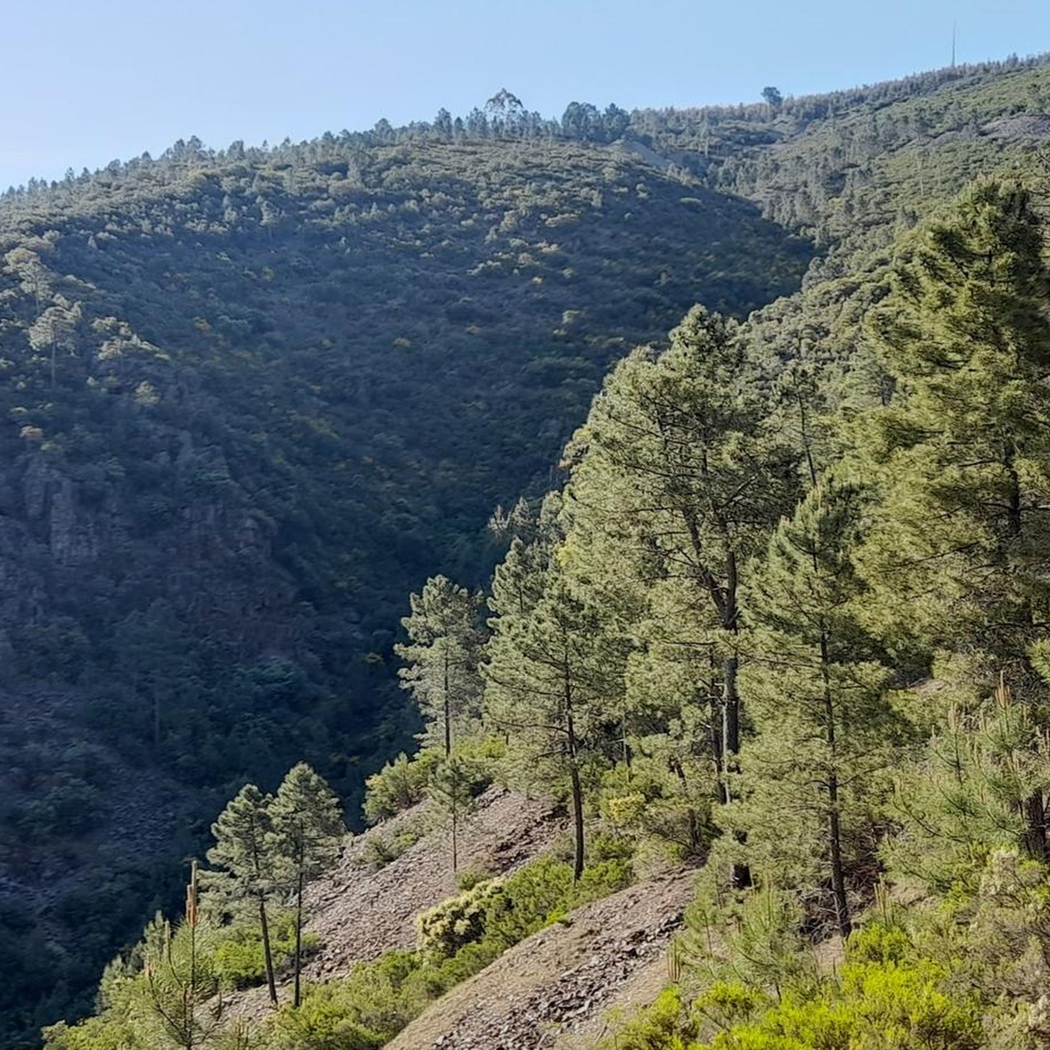
The climb up the walkways to the Cabeço do Mosqueiro viewpoint can be challenging, but every step is worth it. Along the way, traces of the past peek out from the surrounding nature: a stretch of Roman road, old watermills and the Forno das Mouras. Take a break, take a deep breath and let yourself be amazed by the landscape that unfolds around you. This final stretch of the Orvalho Walkways is even more magical at dusk, when the golden light of the sun caresses the slopes. At the top of the cliff, the viewpoint offers an unforgettable view over the Chapel of Nossa Senhora da Confiança and the vast landscape.
3
0
In the heart of Beira Baixa, in the heart of the Naturtejo Geopark, lies one of the most stunning walkways in Portugal. The Orvalho Walkways, part of the PR3 Orvalho GeoRoute, take you along a route where nature and geology intertwine in magnificent settings. Here, you can not only explore UNESCO-listed geomonuments, such as the imposing Fraga de Água d'Alta Waterfall and Cabeço do Mosqueiro, but also admire some of the region's most breathtaking and iconic landscapes.
3
0
Hidden at the base of the Orvalho Walkways, the Fraga de Água d’Alta Waterfall slides down 10 metres of rock, forming a small crystal-clear pool around it. It is a true natural refuge, where a refreshing dip becomes even more irresistible in the scorching summers of Beira Baixa. When the place is calm, the sensation of swimming under the waterfall becomes magical. It is no coincidence that this is considered one of the most beautiful waterfalls in Portugal. And the highest in the region!
3
0
Frequently Asked Questions
How many hiking trails are there in Janeiro De Cima?
There are several hiking trails around Janeiro De Cima, with a total of 7 routes documented on komoot. These include 4 easy and 3 moderate options, catering to various fitness levels.
What kind of terrain can I expect on hikes around Janeiro De Cima?
Hikes in Janeiro De Cima offer diverse landscapes, from the serene river valleys of the Zêzere River to the mountainous slopes of the Serra da Gardunha. You'll encounter paths winding through traditional schist villages, cultivated fields, and dramatic rocky ridges. Many trails feature views of the Zêzere River's meanders.
Are there any family-friendly hiking options in Janeiro De Cima?
Yes, Janeiro De Cima offers several easy hikes suitable for families or those seeking a gentler pace. These trails are generally accessible and can last up to two hours with moderate elevation gain. For example, the Hiking loop from Casal da Lapa is an easy 5.7 km route.
Can I bring my dog on the hiking trails in Janeiro De Cima?
While the region is very natural, specific regulations for dogs on trails can vary. Generally, dogs are welcome on many trails in Portugal, especially if kept on a leash. It's always advisable to ensure your dog is well-behaved and to clean up after them. There are no specific restrictions mentioned for the trails around Janeiro De Cima, but always be mindful of local wildlife and other hikers.
Are there any circular hiking routes available?
Yes, many of the trails around Janeiro De Cima are circular, allowing you to start and end in the same location. A popular example is the GeoRota do Orvalho (PR 3) — Orvalho Boardwalk circular route, which is 10.4 km long and offers boardwalk sections and natural features.
What natural features or landmarks can I see while hiking?
The region is rich in natural beauty and unique architecture. You can witness the impressive 'Meanders do Zêzere,' a geo-monument with spectacular winding river views. The village itself is part of the Aldeias do Xisto (Schist Villages) network, featuring houses built with schist stone. You might also encounter remnants of ancient gold and tin mining. The Passadiços do Orvalho are also a notable feature nearby.
Is there public transport available to reach the hiking trails?
Public transport options directly to trailheads in rural areas like Janeiro De Cima can be limited. While there might be regional bus services connecting larger towns, accessing specific hiking starting points often requires a car. It's best to check local bus schedules if you plan to rely on public transport.
Where can I park my car when hiking in Janeiro De Cima?
Parking is generally available within Janeiro De Cima village, especially near the Lavandeira Fluvial Park or the New Church, which are common starting points for local trails. For trails further afield, designated parking areas are usually indicated near popular trailheads, such as those for the Passadiços do Orvalho.
What is the best time of year to go hiking in Janeiro De Cima?
The spring (April-June) and autumn (September-October) months are generally ideal for hiking in Janeiro De Cima, offering pleasant temperatures and vibrant landscapes. Summers can be hot, making early morning or late afternoon hikes preferable. Winters are milder but can be wet, though the area's proximity to Serra da Estrela offers opportunities for winter activities in higher altitudes.
Are there any long-distance hiking opportunities in the area?
Yes, Janeiro De Cima is a passing point on the significant Grande Rota do Zêzere (GR33). This multi-stage route spans 370 km, following the Zêzere River from its source to its mouth. While you can explore sections of it, like the Rio Zêzere loop from Janeiro de Cima, the full GR33 offers continuous adventures for those seeking multi-day treks.
Can I find any waterfalls or wild swimming spots near the trails?
Yes, the Zêzere River itself offers opportunities for refreshing dips, particularly at the Lavandeira Fluvial Park in Janeiro De Cima. Additionally, the Fraga de Água d'Alta Waterfall is a notable highlight in the vicinity, providing a beautiful natural feature to explore.
What makes the architecture in Janeiro De Cima unique?
Janeiro De Cima is one of Portugal's Aldeias do Xisto (Schist Villages), meaning its architecture is distinctively characterized by the use of schist stone. Houses, and even some streets, are built with this local material, often adorned with smooth, white river pebbles, giving the village a unique and charming appearance. Exploring the narrow, winding streets reveals centuries-old traditional buildings.
What do other hikers say about the trails in Janeiro De Cima?
The trails in Janeiro De Cima are highly rated by the komoot community, with an average score of 4.8 stars from over 20 reviews. Hikers often praise the beautiful river views, the unique charm of the schist villages, and the well-maintained paths that offer a good mix of easy and moderate challenges.
Most popular routes around Janeiro De Cima
Most popular attractions around Janeiro De Cima

Get inspired with the komoot mobile app


Explore more
Browse the best Hikes in other regions.
