The best walks and hikes around Erada
4.5
(274)
1,082
hikers
22
hikes
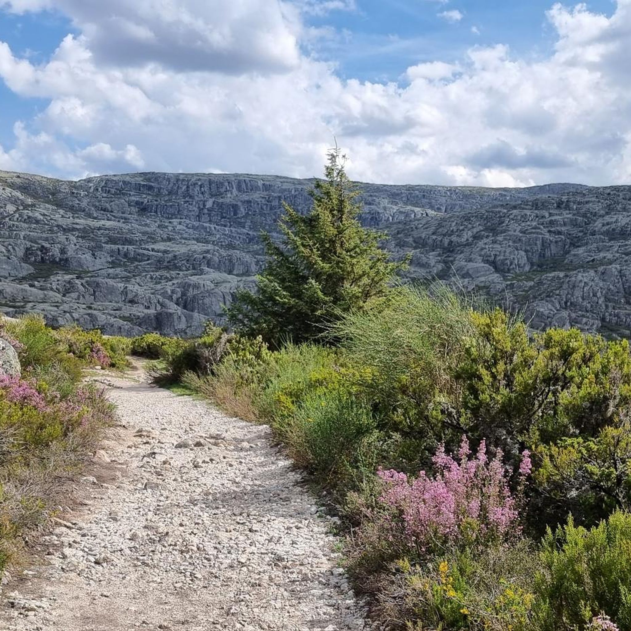
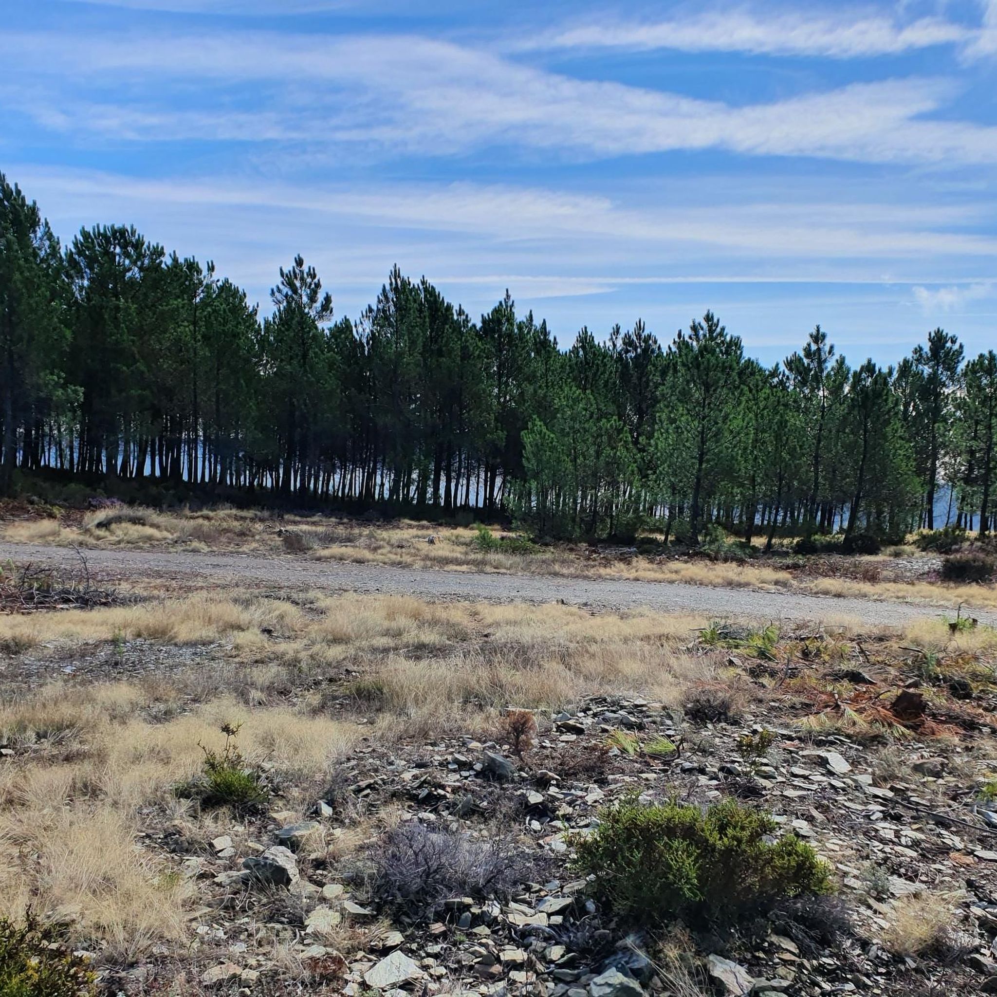
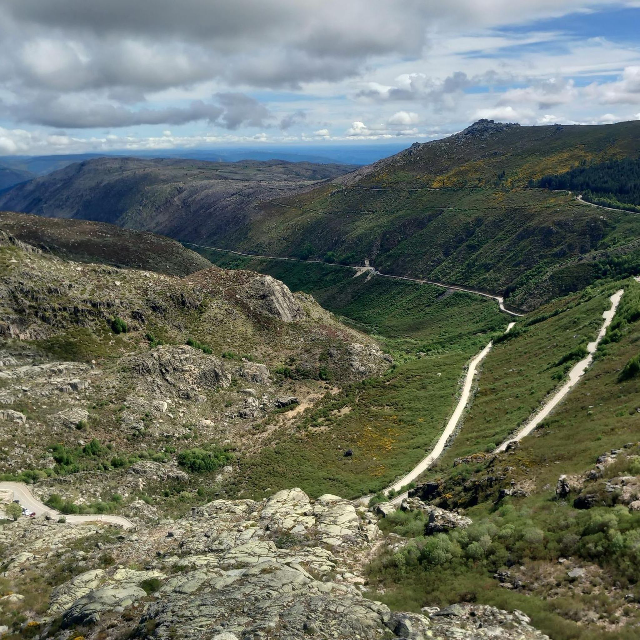
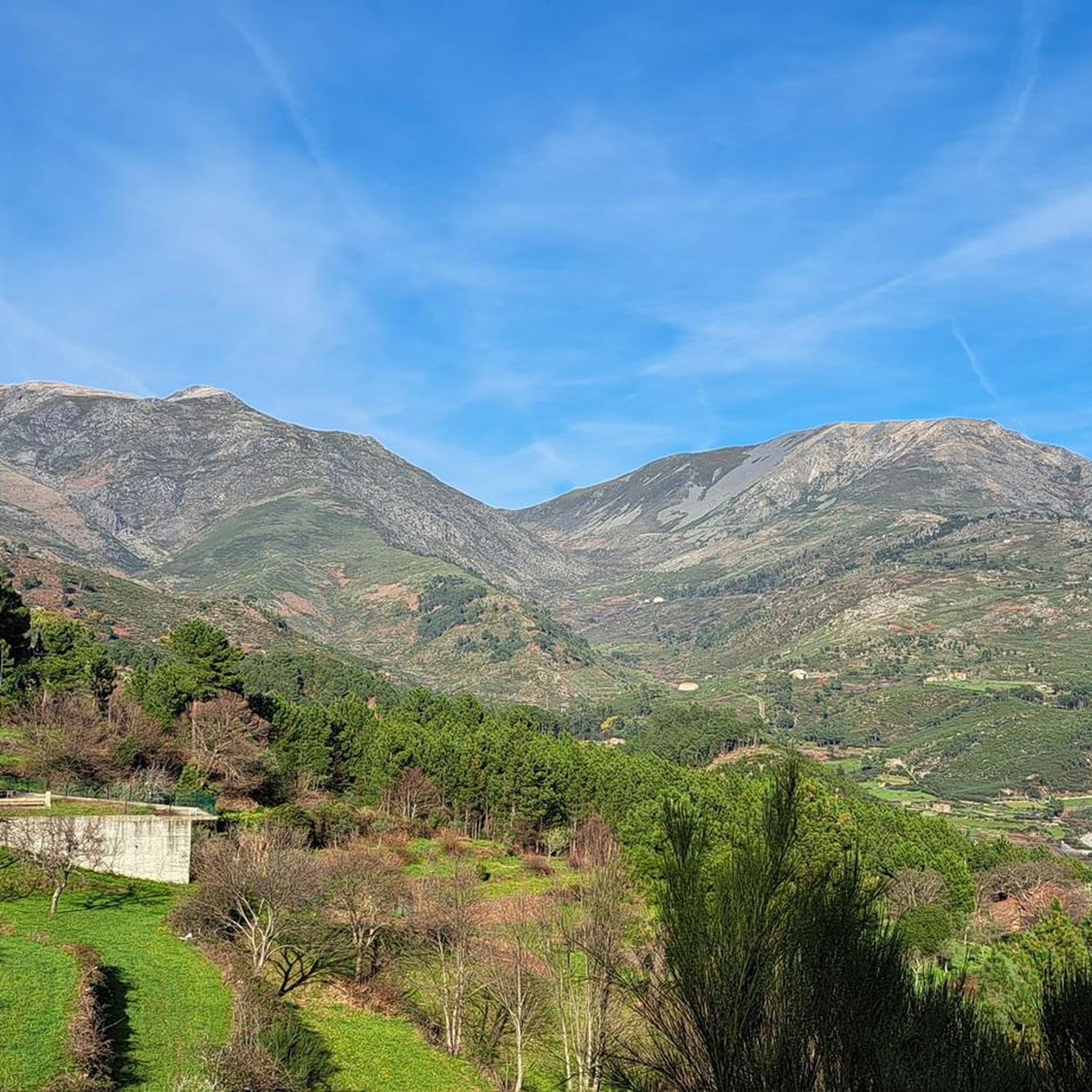
Hiking around Erada, Portugal, is characterized by its location within the Serra da Estrela mountain range, featuring varied terrain from river valleys to higher plateaus. The landscape includes deep gorges like Ribeira de Loriga and Garganta de Loriga, alongside forested areas and open mountain environments. Hikers can expect elevation changes and diverse natural features typical of a mountainous region.
Best hiking trails around Erada
- The most popular hiking route is Ribeira de Loriga Route, a 9.2 miles (14.8 km)…
Last updated: June 24, 2026
4.5
(25)
93
hikers
14.8km
04:31
490m
490m
Moderate hike. Good fitness required. Easily-accessible paths. Suitable for all skill levels.
4.5
(26)
82
hikers
8.89km
02:41
300m
300m
Moderate hike. Good fitness required. Easily-accessible paths. Suitable for all skill levels.

Sign up for free
3.6
(7)
19
hikers
3.26km
01:05
160m
160m
Easy hike. Great for any fitness level. Easily-accessible paths. Suitable for all skill levels.
5.0
(6)
31
hikers
9.22km
03:36
1,090m
10m
Hard hike. Very good fitness required. Easily-accessible paths. Suitable for all skill levels.
5.0
(5)
26
hikers
11.1km
04:15
1,250m
10m
Hard hike. Very good fitness required. Easily-accessible paths. Suitable for all skill levels.
Get access to more routes and recommendations from other explorers.
Sign up for free
Already have an account?
Our route recommendations are based on thousands of hikes, rides, and runs completed by other people on komoot.
Start today with a free account
Your next adventure awaits.
Login or Signup
Tips from the Community

The Loriga Glacial Valley is an impressive geological formation of glacial origin, approximately 6.5 kilometers long, located in the municipality of Seia, right in the Serra da Estrela Natural Park. Shaped during the last ice age, this "U"-shaped valley stands out for its steep granite slopes, staircase-like cirques, and the famous village of Loriga, often nicknamed the "Portuguese Switzerland" due to its mountainous surroundings.👍🥾
0
0

Among the terraces, chestnut groves and pine forests, a rural heritage that is as authentic as it is surprising is hidden. Like this house, for example, which seems to have grown out of the rock itself: embedded in a huge boulder, in a perfect symbiosis between popular architecture and raw nature. It is as if it had been sculpted by the mountain.
2
0
As the name suggests, this is a large hollow, an amphitheater sculpted by nature, where a lagoon lies that, on hot summer days, can disappear completely. Even so, the landscape remains stunning, imposing and filled with the overwhelming silence of the mountain.
1
1
At the Covão do Meio Reservoir, the waters give the illusion of floating on the horizon: a serene mirror suspended between the sky and the mountains. But the most surprising thing is the tunnel, over two kilometres long, that drains the excess water to Lagoa Comprida, in a piece of engineering that is invisible to the eye.
1
0
In Loriga, human ingenuity has shaped the mountain. Over the centuries, persistent hands have built terraces and designed an intricate irrigation network, transforming a once rocky valley into an oasis of fertility. More than a legacy, it is a living testament to the wisdom and resilience of the people of Loriga, a true landmark that honors the past and enriches the present.
4
1

Beautiful panoramic views from the highest point in Portugal. You can ski here in winter, and there is sometimes snow even in summer.
4
0

Place with incredible views, several slopes
1
0

Beautiful waterfall, but potentially empty. There is access via the levada from Cabeça, with a flat path in relatively good condition. People with vertigo may pass through the canal in the narrowest areas. Wear trousers and boots because of the nettles. Enjoy!!!
4
1
Frequently Asked Questions
How many hiking trails are available around Erada?
There are over 20 hiking trails around Erada, offering a variety of experiences. These include 8 easy routes, 11 moderate, and 3 more challenging options, ensuring something for every skill level.
Are there any easy, family-friendly walks near Erada?
Yes, Erada offers several easy walks suitable for families. One excellent option is the Tour da Eira (PR 4), a 3.3 km circular route that takes just over an hour to complete, leading through the local landscape of Serra da Estrela.
What kind of natural attractions can I expect to see on hikes around Erada?
Hiking around Erada, situated within the Serra da Estrela mountain range, offers diverse natural attractions. You can encounter deep gorges like Ribeira de Loriga and Garganta de Loriga, forested areas, and open mountain environments. Notable highlights include waterfalls such as Poço da Broca de Serapitel and the Waterfall and natural swimming pool in Parque Natural da Serra da Estrela, as well as serene spots like Covão do Ferro Lake and Peixão Lagoon.
Are there any circular hiking routes in the Erada area?
Yes, Erada is home to several circular routes. A popular choice is the Circular do Planalto Superior, a moderate 8.9 km path traversing the higher plateau of Serra da Estrela, offering expansive mountain vistas. Another is the easier Tour da Eira (PR 4).
What is the best time of year to go hiking in Erada?
The best time for hiking in Erada generally depends on your preference. Spring (April-June) and autumn (September-October) offer pleasant temperatures and vibrant landscapes. Summer can be warm, especially at lower elevations, while winter brings cooler temperatures and the possibility of snow at higher altitudes in Serra da Estrela, offering a different kind of scenic beauty.
Are there any challenging hikes for experienced trekkers?
Absolutely. For experienced trekkers, routes like the Garganta de Loriga Route (9.2 km) or the Garganta de Loriga Trail (11.1 km) offer significant elevation changes and rugged terrain, providing a demanding and rewarding experience within the Serra da Estrela.
What do other hikers say about the trails in Erada?
The hiking routes in Erada are highly rated by the komoot community, with an average score of 4.5 stars from over 240 reviews. Hikers often praise the diverse terrain, from river valleys to mountain plateaus, and the stunning natural beauty of the Serra da Estrela region.
Are there any specific landmarks or summits to aim for during a hike?
Yes, within the broader Serra da Estrela region, you can aim for significant landmarks. The highest point in mainland Portugal, Torre (Serra da Estrela Summit), is a prominent feature. Other natural monuments like Cântaro Magro also offer impressive sights.
Can I find hikes that follow rivers or have water features?
Many trails in the Erada area are characterized by river valleys. The Ribeira de Loriga Route, for instance, follows the Ribeira de Loriga, offering scenic views of the valley and its water features. The region is also known for its deep gorges and natural swimming spots.
What should I wear for hiking in Erada during the summer?
During summer in Erada, especially in the Serra da Estrela, it's advisable to wear lightweight, breathable clothing. Layers are recommended as temperatures can vary between lower valleys and higher altitudes. Always bring sun protection (hat, sunscreen), plenty of water, and sturdy hiking shoes suitable for varied terrain.
Are there any hidden gem hikes around Erada that are less crowded?
While specific 'hidden gems' are often discovered by local exploration, many of the less-trafficked routes, particularly those not highlighted as 'most popular,' can offer a quieter experience. Exploring the numerous trails beyond the main highlights often leads to serene discoveries within the vast Serra da Estrela landscape.
Is it possible to reach hiking trails near Erada using public transport?
Access to some trailheads in the Serra da Estrela region, including those near Erada, can be challenging via public transport alone, as services are often limited, especially to more remote starting points. It's generally recommended to have personal transport for maximum flexibility, though local bus services might connect to larger towns from which some trails are accessible.
Most popular routes around Erada
Most popular attractions around Erada

Get inspired with the komoot mobile app


Explore more
Browse the best Hikes in other regions.
