The best walks and hikes around Espinhosela
4.4
(236)
740
hikers
22
hikes
Hiking around Espinhosela offers access to the diverse landscapes of Montesinho Natural Park, characterized by thick woodlands, riverine environments, and traditional agricultural areas. The region features granite mountains and serene lakes, providing varied terrain for outdoor activities. Trails often traverse dense forests of oak and chestnut, alongside the Tuela and Baceiro Rivers, and through open farming spaces. The elevation changes are generally manageable, with many routes suitable for different fitness levels.
Best hiking trails around Espinhosela
- The most popular hiking…
Last updated: July 7, 2026
4.7
(65)
198
hikers
7.99km
02:23
260m
260m
Hike the moderate 5.0-mile PR3 Porto Furado Trail in Montesinho Natural Park, featuring granite formations and reservoir views.
4.2
(26)
111
hikers
7.89km
02:16
200m
190m
Hike the moderate PR4 Ornal Trail, a 4.9-mile route through Montesinho Natural Park, featuring river views and historic mills.

Sign up for free
2
hikers
8.68km
02:23
140m
150m
Moderate hike. Good fitness required. Easily-accessible paths. Suitable for all skill levels.
3.7
(24)
50
hikers
4.44km
01:16
110m
110m
Easy hike. Great for any fitness level. Easily-accessible paths. Suitable for all skill levels.
4.4
(5)
17
hikers
16.8km
04:44
350m
350m
Moderate hike. Good fitness required. Easily-accessible paths. Suitable for all skill levels.
Get access to more routes and recommendations from other explorers.
Sign up for free
Already have an account?
Our route recommendations are based on thousands of hikes, rides, and runs completed by other people on komoot.
Start today with a free account
Your next adventure awaits.
Login or Signup
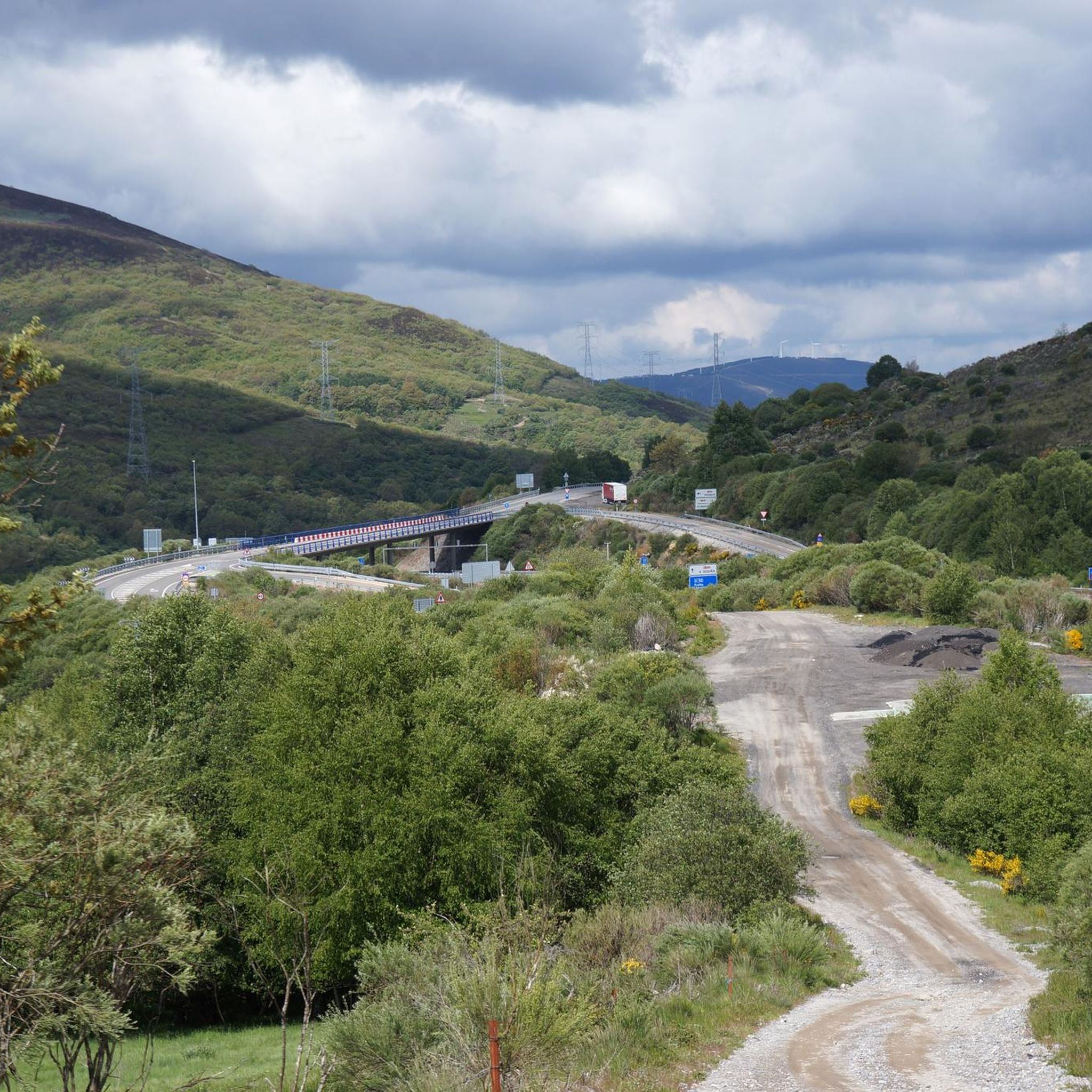
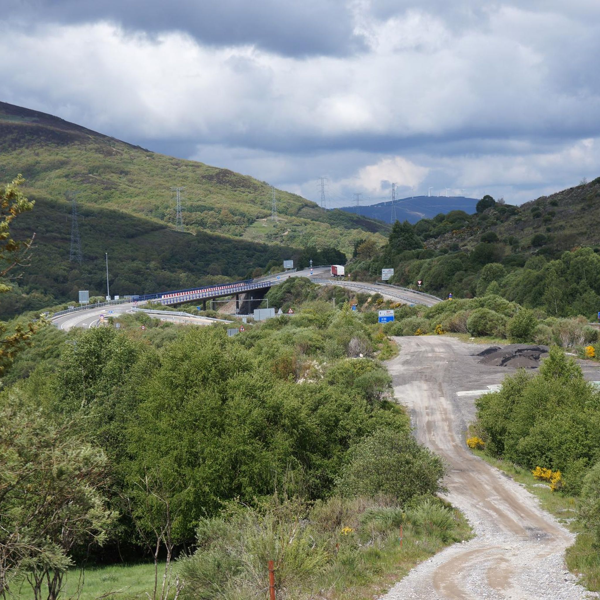

Tips from the Community


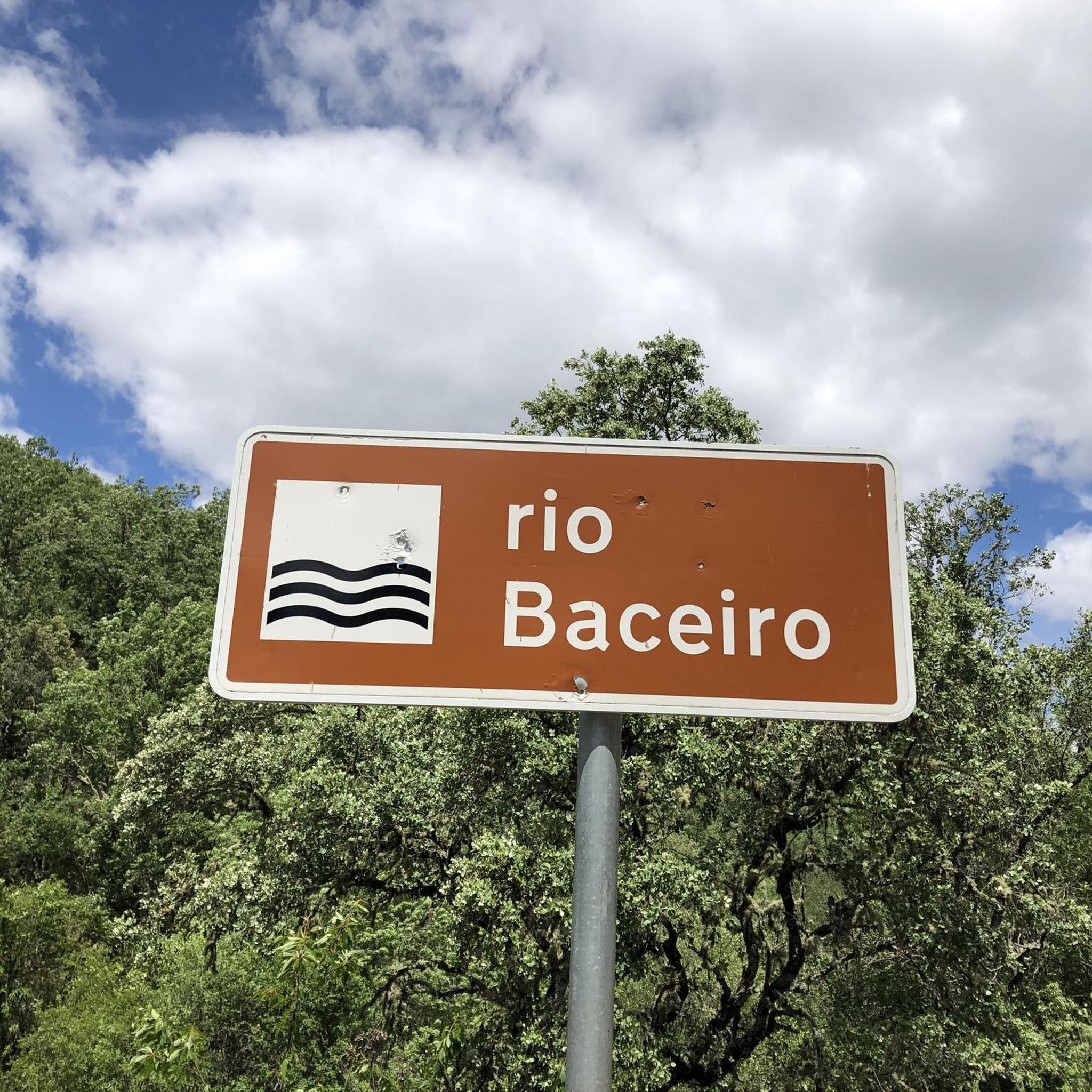
At this point, the trail invites you to embark on a little adventure: crossing the bed of a stream on the Baceiro River. When the rain lets up, the crossing is easy. And with a touch of excitement!
1
0
Along the Baceiro River, three community-run mills still stand, two in Vilarinho and one in Cova de Lua. This is one of them, a living relic of local ingenuity, which uses the power of water to grind grain and tell stories of a time when sharing and ingenuity went hand in hand.
2
0

Considered the “bread tree” in the regions north of the Tagus, the chestnut tree was the staple food before the arrival of the potato and the main source of carbohydrates in the north of the Iberian Peninsula. This deciduous tree can grow up to 30 to 35 metres in height and reach diameters of up to 12 metres, although the trunk becomes hollow as the tree ages. It is very long-lived and can live for over a thousand years. The European chestnut tree (Castanea sativa Miller) belongs to the Castanea genus and the Fagaceae family, the same family that includes cork oaks and oaks in general. The genus includes 12 to 13 species, five of which are of Asian origin and seven of which are North American. The common chestnut tree is the only one native to Europe. This is a tree that managed to survive the last glacial period (Würms glaciation) in some parts of central and Mediterranean Europe and is currently found all over the world, including North and South America and Australia. Several studies indicate that the natural distribution of the European chestnut tree corresponds to these refuge zones, where it remained during the glacial events. These areas later served as starting points for the colonization of other regions, before humanity dedicated itself to cultivating the species. One of these refuges is located in the Picos de Europa region and another between the south of Galicia and the north of Portugal, which is why the chestnut tree is considered an indigenous or native species of our country. The chestnut tree grows well in temperate climates and the ideal conditions for its development are found in places with average temperature and humidity, where rainfall reaches at least 600 mm per year – more than 100 mm in the summer. It is, however, sensitive to late frosts and very low temperatures. It prefers soils at least 50 cm deep, loose and rich in nutrients, slightly acidic (pH between 4.5 and 6.5) and not calcareous. Although it can grow in less suitable conditions, it develops and produces best in coastal or mountainous areas, at medium altitude, with hot and humid summers and mild winters.
2
0
Vilarinho is located 16 km northwest of Bragança, within the Montesinho Natural Park. It belongs to the parish of Espinhosela, which includes the villages of Terroso and Cova de Lua. An autonomous parish and a leaseholder of the king in the Inquisitions of 1258, it was taxed by D. Dinis at 70 pounds per year to fund the war against the Moors. Between the 16th and 18th centuries, the College of Jesus of Bragança held heritage assets here. Both the main church of São Cipriano, built within the village, and the Chapel of Santo Amaro, located 1 km southeast, on a hill of 819 m, have existed for centuries. The current Chapel is located in an ancient and fortified Iron Age settlement, with attested archaeological remains. It was later Romanized and Christianized. In the mid-16th century, the Temples were in a deplorable state in terms of sustainability and dignity. In 1699, with the facade in ruins and the doors open, it was decided to demolish the Chapel and use and sell materials to renovate the Church.
2
0
The Montesinho Natural Park covers an area of approximately 75 thousand hectares and is located in the Terra Fria Transmontana region, in the extreme northeast of Portugal, bordering the Spanish communities of Galicia and Castile-Leon. It covers the territories of two municipalities, namely Bragança and Vinhais. As a curiosity, you should know that there are more than 90 villages within the Montesinho Natural Park and that the highest point in the park is the Serra do Montesinho, whose peak is 1,486 metres above sea level.
2
0
The Montesinho Natural Park covers an area of approximately 75 thousand hectares and is located in the Terra Fria Transmontana region, in the extreme northeast of Portugal, bordering the Spanish communities of Galicia and Castile-Leon. It covers the territories of two municipalities, namely Bragança and Vinhais. As a curiosity, you should know that there are more than 90 villages within the Montesinho Natural Park and that the highest point in the park is the Serra do Montesinho, whose peak is 1,486 metres above sea level.
3
0
The Montesinho Natural Park covers an area of approximately 75 thousand hectares and is located in the Terra Fria Transmontana region, in the extreme northeast of Portugal, bordering the Spanish communities of Galicia and Castile-Leon. It covers the territories of two municipalities, namely Bragança and Vinhais. As a curiosity, you should know that there are more than 90 villages within the Montesinho Natural Park and that the highest point in the park is the Serra do Montesinho, whose peak is 1,486 metres above sea level.
3
0
Frequently Asked Questions
How many hiking trails are available in Espinhosela?
Espinhosela offers a diverse selection of over 20 hiking trails, catering to various preferences and fitness levels. These routes explore the rich landscapes of the Montesinho Natural Park and surrounding areas.
What is the general difficulty level of hiking in Espinhosela?
The trails around Espinhosela offer a good mix of difficulties. You'll find 4 easy routes, perfect for a leisurely stroll, 15 moderate trails that provide a good workout, and 3 more challenging options for experienced hikers.
What kind of landscapes will I encounter on the trails?
Hiking in Espinhosela immerses you in the varied terrain of the Montesinho Natural Park. Expect to traverse thick woodlands, particularly dense forests of oak and chestnut, explore riverine environments along the Tuela and Baceiro Rivers, and pass through traditional agricultural areas. Some trails also offer serene views of lakes and granite mountains.
Are there any family-friendly hiking options in Espinhosela?
Yes, Espinhosela has several easy routes that are well-suited for families. These trails often feature manageable elevation gains and can typically be completed within two hours, allowing for an enjoyable outing with children.
Are there any circular hiking routes in the area?
Absolutely. Many trails in Espinhosela are designed as circular routes, allowing you to start and end at the same point. An example is the Castanheiro Orchard – Gondesende loop from Gondesende, which is an easy option for a pleasant walk.
What are some notable natural features or landmarks to look out for?
While hiking, you might encounter the impressive European chestnut (Castanea sativa), considered a natural monument. The region is also home to the Biological Park of Vinhais and offers scenic views within the Parque Natural de Montesinho. You can also find beautiful lakes like Albufeira de Prada.
What do other hikers enjoy most about the trails in Espinhosela?
The hiking trails in Espinhosela are highly regarded by the komoot community, with an average rating of 4.4 stars from over 190 reviews. Hikers frequently praise the diverse terrain, from dense woodlands to riverine paths, and the well-maintained routes that offer scenic views of the Montesinho Natural Park.
Are there any longer, more challenging hikes for experienced trekkers?
For those seeking a longer adventure, the View of the Montesinho Hills – Montesinho Village loop from Montesinho is a moderate 16.8 km (10.4 mi) trail that offers a more extended exploration of the region's landscapes and elevation changes.
What are some popular moderate trails in Espinhosela?
Two popular moderate trails include the PR4 Ornal Trail, which leads through rolling hills, and the Chestnut path and meadows of Hermisende — circular through the Valley, known for its traditional agricultural scenery and chestnut groves.
Are there any historical sites or attractions nearby that I can visit after a hike?
Yes, the region offers historical attractions. The impressive Bragança Castle, a National Monument, is located nearby and provides panoramic views of the surrounding mountain ranges. You can also explore the Domus Municipalis de Bragança for a glimpse into the region's past.
What is the best time of year to go hiking in Espinhosela?
Espinhosela offers pleasant hiking conditions for much of the year. The region's diverse landscapes, including woodlands and riverine areas, are particularly beautiful in spring and autumn when temperatures are mild and the foliage is vibrant. Summer can also be enjoyable, especially for early morning or late afternoon hikes.
Most popular attractions around Espinhosela

Get inspired with the komoot mobile app


Explore more
Browse the best Hikes in other regions.
