The best walks and hikes around Sabariz
4.3
(30)
189
hikers
5
hikes
Hiking around Sabariz features trails primarily located near the Cávado River, offering routes through rural landscapes. The terrain generally includes riverine paths and some moderate ascents, with elevations typically under 400 meters. The area is characterized by a mix of agricultural land and natural riverbanks, providing accessible outdoor experiences.
Best hiking trails around Sabariz
- The most popular hiking route is Cávado Riverside loop from Soutelo, an easy 4.5 miles (7.3 km) trail that takes 1 hour 51 minutes to…
Last updated: July 8, 2026
4.3
(10)
72
hikers
7.33km
01:52
20m
20m
Easy hike. Great for any fitness level. Easily-accessible paths. Suitable for all skill levels.
4.4
(7)
55
hikers
9.97km
02:34
40m
40m
Moderate hike. Good fitness required. Easily-accessible paths. Suitable for all skill levels.

Sign up for free
4.5
(4)
15
hikers
9.53km
03:03
400m
400m
Moderate hike. Good fitness required. Easily-accessible paths. Suitable for all skill levels.
4.4
(5)
22
hikers
11.4km
02:56
60m
60m
Moderate hike. Good fitness required. Easily-accessible paths. Suitable for all skill levels.
4.0
(2)
4
hikers
8.59km
02:18
100m
100m
Moderate hike. Good fitness required. Easily-accessible paths. Suitable for all skill levels.
Our route recommendations are based on thousands of hikes, rides, and runs completed by other people on komoot.
Start today with a free account
Your next adventure awaits.
Login or Signup

Frequently Asked Questions
How many hiking trails are available around Sabariz?
There are 5 hiking trails around Sabariz, offering a variety of experiences through rural landscapes and along the Cávado River. These routes are generally well-suited for different fitness levels.
What is the typical terrain and difficulty of hiking trails in Sabariz?
The hiking trails in Sabariz primarily feature riverine paths and rural landscapes. While many routes offer gentle riverside strolls, some include moderate ascents, with elevations typically under 400 meters. You'll find options ranging from easy, like the Cávado Riverside loop from Soutelo, to more moderate challenges such as the Spring – Roman Ruins loop from Valbom (São Pedro) which includes a significant climb.
Are there any family-friendly hiking options in Sabariz?
Yes, for families looking for an easier outing, the Cávado Riverside loop from Soutelo is an excellent choice. This easy 7.3 km trail offers a gentle path along the river, suitable for a relaxed walk with children.
Are there any circular hiking routes in Sabariz?
All the main hiking routes around Sabariz are circular, allowing you to start and end at the same point. Examples include the Cávado Riverside loop from Vila de Prado and the Vila Verde Town Center loop from Vila Verde.
What kind of natural features or landmarks can I expect to see along the trails?
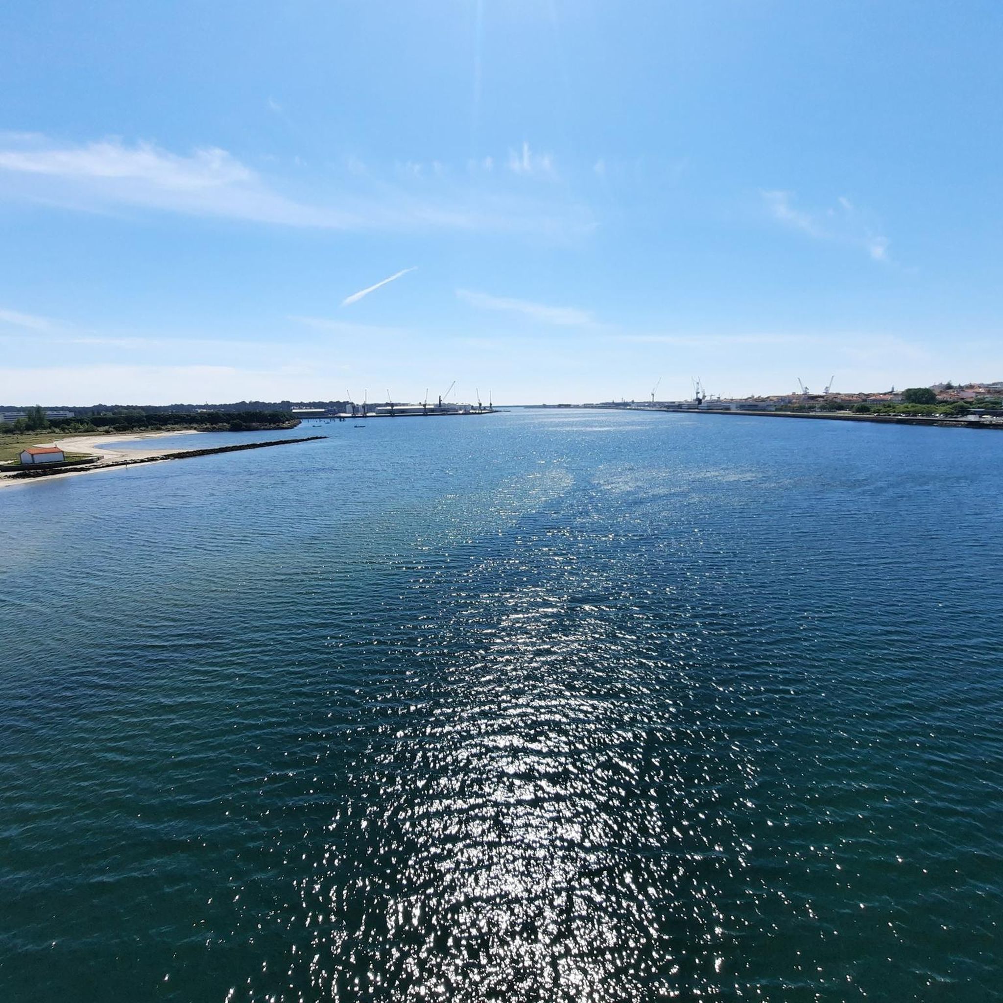
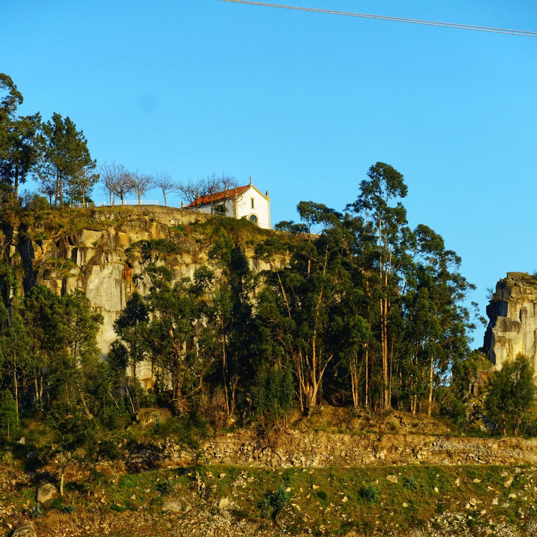
Hiking around Sabariz offers glimpses of local heritage and natural beauty. Along the trails, you might encounter historical elements like the Roman ruins on the Spring – Roman Ruins loop from Valbom (São Pedro). Other nearby attractions include the historic Ponte do Porto, the impressive Eucalyptus of Moure, and the scenic Malheira River Beach.
What do other hikers enjoy the most about hiking in Sabariz?
The trails around Sabariz are highly rated by the komoot community, with an average score of 4.4 stars from over 20 reviews. Hikers often praise the peaceful riverine paths, the rural charm, and the accessibility of the routes for various skill levels.
Is Sabariz a good destination for dog-friendly hikes?
While specific regulations for dogs on trails in Sabariz are not detailed, many rural and riverside paths in Portugal are generally dog-friendly, especially if dogs are kept on a leash. The open nature of the Cávado Riverside loops, such as the one from Soutelo, often provide suitable environments for walking with your canine companion.
Are there any viewpoints or scenic spots along the hiking routes?
Yes, the region offers several scenic spots, particularly along the Cávado River. For panoramic views, consider visiting the Oural Swing Viewpoint, which provides a lovely perspective of the surrounding landscape.
What is the best time of year to go hiking in Sabariz?
The best time for hiking in Sabariz, like much of the Minho region of Portugal, is typically during spring (April to June) and autumn (September to October). During these seasons, the weather is generally mild and pleasant, avoiding the heat of summer and the heavier rains of winter, making for comfortable walking conditions.
Is there parking available near the trailheads?
As Sabariz is a rural area, parking is generally available near the starting points of many trails, particularly in the villages or towns where the loops begin, such as Soutelo, Vila de Prado, or Vila Verde. Specific parking details for each route can often be found on the individual komoot tour pages.
Are there any historical sites or cultural attractions to explore nearby?
Beyond the trails, the area offers cultural insights. The Urjal Rural Heritage Museum is a notable historical site nearby, offering a glimpse into the region's past. Additionally, the Spring – Roman Ruins loop from Valbom (São Pedro) directly incorporates ancient ruins into its path.
Can I reach the hiking trails using public transport?
While Sabariz itself is a small locality, public transport options might be limited directly to all trailheads. However, larger nearby towns like Vila Verde, which is a starting point for the Vila Verde Town Center loop, are typically served by local bus routes. It's advisable to check local transport schedules for connections to specific starting points.
Most popular routes around Sabariz
Most popular attractions around Sabariz

Get inspired with the komoot mobile app


Explore more
Browse the best Hikes in other regions.
