The best cycling routes around Ruivães
4.5
(64)
1,086
riders
81
rides
Touring cycling routes around Ruivães traverse diverse mountain landscapes at the foot of the Serra da Cabreira, bordered by the Rabagão River. The region features lush terrain, offering views over rural villages and expansive fields. Cyclists can explore quiet backroads and macadam trails through chestnut and oak forests, encountering varied topography. This area provides a mix of challenging mountain ascents and scenic routes along river valleys.
Best touring cycling routes around Ruivães
- The most popular touring cycling route is Penha…
Last updated: June 29, 2026
4.8
(5)
28
riders
52.6km
03:45
770m
770m
Hard bike ride. Very good fitness required. Mostly paved surfaces. Suitable for all skill levels.
5.0
(1)
21
riders
36.3km
02:39
330m
330m
Moderate bike ride. Good fitness required. Mostly paved surfaces. Suitable for all skill levels.

Sign up for free
15
riders
24.0km
01:54
600m
600m
Hard bike ride. Very good fitness required. Mostly paved surfaces. Suitable for all skill levels.
3.0
(1)
12
riders
80.0km
04:56
760m
760m
Hard bike ride. Very good fitness required. Mostly paved surfaces. Suitable for all skill levels.
11
riders
44.5km
03:33
860m
860m
Hard bike ride. Very good fitness required. You may need to push your bike for some segments of this route.
Get access to more routes and recommendations from other explorers.
Sign up for free
Already have an account?
Our route recommendations are based on thousands of hikes, rides, and runs completed by other people on komoot.
Start today with a free account
Your next adventure awaits.
Login or Signup



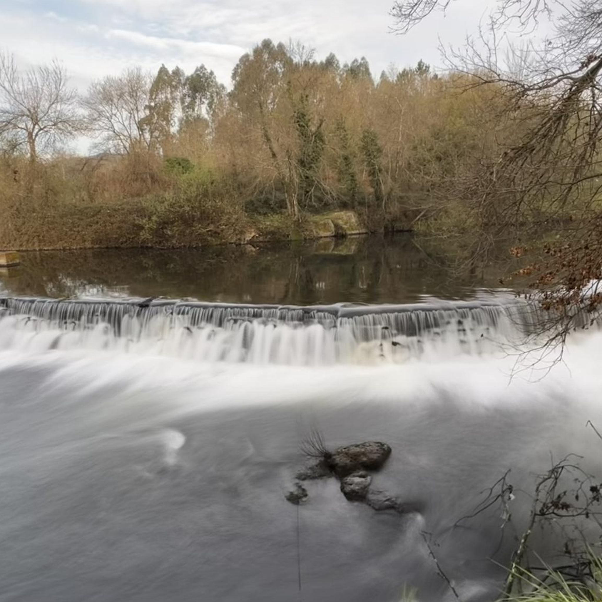
Tips from the Community

Definitely the best part of the route. Beautiful scenery and a well-maintained path.
0
0

Nearby Tourist Attractions Ave Riverbank Promenade: A riverside walkway, ideal for relaxing strolls. Monte Padrão Hillfort: Ancient ruins for those interested in history and archaeology.
1
0
Highlights and Architecture Main Church: Built between 1659 and 1679, the monastery church is an imposing example of local religious architecture. Cloisters: The monastery has serene cloisters, one of which still displays a Gothic sculpture of the Virgin and Child in one of the corners. Cloister Fountain: In the center of the cloister stands a slender granite fountain with a polylobed basin, dating from 1649. Style: Over the centuries, the monastery has been rebuilt, combining Baroque and Neoclassical elements.
1
0
Opening Hours and Visits The monastery is open for visits, but guided tours of the cloisters and other areas (besides the church) generally require prior booking by telephone with the Santo Tirso City Hall office. General Hours (Church): Daily (Monday to Sunday): 08:00–12:00 and 15:00–19:00. Accessibility: The entrance and parking are wheelchair accessible.
1
0
The Monastery of São Bento, also known as the Monastery of Santo Tirso, is located on the left bank of the Ave River, in the city of Santo Tirso, Portugal. Founded in 978, it belonged to the Benedictine Order and was one of the most powerful monasteries in Portugal. Currently, it is classified as a National Monument.
1
0
Highlights and Route Landscape: The route crosses rural areas, small population centers, agricultural fields, and forest areas, offering a calm and pleasant environment. Localities: The ecotrail passes through several localities, including Amorim, Terroso, Laundos, Rates, Balazar, Gondifelos, Louro, and Brufe. Intermodality: A great advantage is the direct connection to the Vila Nova de Famalicão train station and the Porto Metro station in Póvoa de Varzim, facilitating access to the beginning and end of the route. Interconnection: The cycle path connects to the Formiga Ecotrail, allowing the ride to be extended.
1
0
Route Characteristics Length: The route is approximately 28 to 30 kilometers in total, connecting the rural interior (Famalicão) to the Atlantic coast (Póvoa de Varzim). Difficulty: It is a flat route, without major slopes or sharp curves, making it an easy and accessible route for everyone, including families with children. Surface: The surface is a mixture of macadam and, in some sections, asphalt, suitable for walking, running and cycling. Accessibility: The ecotrail is wheelchair accessible and has approximately 12 rest areas along the route.
1
0
The Famalicão–Póvoa de Varzim cycle path is, in fact, the Famalicão branch line cycle path. This route was built using the canal of the old railway branch line that connected Vila Nova de Famalicão and Póvoa de Varzim, and which ceased train service in 1995.
1
0
Frequently Asked Questions
How many touring cycling routes are available around Ruivães?
There are nearly 90 touring cycling routes available around Ruivães, offering a wide range of options for exploring the region's diverse landscapes.
What kind of terrain can I expect on touring cycling routes in Ruivães?
Touring cycling in Ruivães features diverse mountain landscapes at the foot of the Serra da Cabreira, bordered by the Rabagão River. You'll encounter lush terrain, quiet backroads, and macadam trails winding through chestnut and oak forests, with varied topography that includes both challenging ascents and scenic river valleys.
Are there touring cycling routes suitable for beginners or less experienced cyclists in Ruivães?
Yes, while many routes are challenging, there are a few easier touring cycling options available. For example, the region offers routes like the Parque das Azenhas (Trofa) – Azenha de Bairros loop from Caniços, which is rated as moderate and winds through local parks and along river sections.
What are some notable natural attractions or viewpoints I can discover along the cycling routes?
The region is rich in natural beauty. You can find numerous waterfalls and natural pools like the Blue Pool (Poço Azul), Pincães Waterfall, Cela Cavalos Waterfall, and Fecha de Barjas Waterfall (Tahiti), perfect for refreshing stops. The Serra da Cabreira also offers spectacular plateaus and viewpoints, including prime spots for viewing the Peneda-Gerês National Park.
Are there any historical landmarks or cultural sites to visit while cycling in Ruivães?
Absolutely. Ruivães offers a glimpse into traditional Portuguese culture and history. You can visit the ancient Roman bridge Ponte da Misarela over the Rabagão River, or the medieval Ponte de Rês. The area also features traditional villages with characteristic architecture, remnants of the Roman Road (Via Romana XVII), hillforts, and historic chapels. You might also encounter the unique 'Fojos do Lobo' (wolf traps).
What is the best time of year for touring cycling in Ruivães?
The region's diverse landscapes are enjoyable across seasons, but spring and autumn generally offer the most pleasant weather for touring cycling, with milder temperatures and vibrant scenery. Summer can be warm, especially in the valleys, while winter might bring cooler temperatures to the mountain areas.
Are there any circular touring cycling routes in Ruivães?
Yes, many of the touring cycling routes in Ruivães are designed as loops, allowing you to start and end at the same point. Examples include the Penha Sanctuary loop from Joane and the Monte da Senhora da Assunção loop from Areias, which offer varied distances and elevations.
What do other touring cyclists enjoy most about cycling in Ruivães?
The area is highly rated by the komoot community, with an average score of 4.5 stars from over 60 reviews. Reviewers often praise the diverse mountain landscapes, the quiet backroads, and the opportunity to explore traditional villages and natural features like waterfalls. The mix of challenging ascents and scenic river routes is also frequently highlighted.
Are there any family-friendly touring cycling options in Ruivães?
While many routes involve significant elevation, some of the easier or moderate loops along river sections or through less hilly terrain could be suitable for families with older children or those comfortable with some climbs. Always check the route's elevation profile and distance to ensure it matches your family's ability.
Can I find places to eat or stay near the cycling routes in Ruivães?
Ruivães and its surrounding traditional villages offer local cafes and restaurants where you can refuel. For accommodation, you'll find options ranging from guesthouses to rural tourism establishments, especially in and around the main settlements, providing a comfortable base for your cycling adventures.
What is the longest touring cycling route available in the area?
One of the longer routes available is the Igreja de Caxinas – Quincentennial Carrack loop from Caniços, which spans over 81 kilometers and features significant elevation gain, making it a challenging option for experienced touring cyclists.
Are there any particularly challenging touring cycling routes for experienced riders?
Yes, Ruivães offers several challenging routes for experienced touring cyclists. Many routes feature significant elevation gains, with some reaching over 800 meters of ascent. The Chapel of Saint Anthony – Igreja de Caldas das Taipas loop from Joane, for instance, covers over 44 kilometers with more than 850 meters of climbing, providing a demanding ride through the mountainous terrain.
Most popular routes around Ruivães
Most popular attractions around Ruivães

Get inspired with the komoot mobile app


Explore more
Browse the best Cycling routes in other regions.
