The best mountain hikes around Ventosa
3.7
(7)
24
hikers
4
hikes
Mountaineering routes around Ventosa are characterized by diverse landscapes, ranging from challenging Alpine terrain in the Venosta Valley, Italy, to the varied hiking opportunities in La Rioja, Spain. The Italian region features high mountain chains and protected areas like Stelvio National Park, offering demanding Alpine tours and panoramic views. In contrast, Ventosa in Spain provides routes through forests and to notable natural features like Poyo de Roldán, with some treks in the Sierra de Moncalvillo requiring significant elevation gain.
Best…
Last updated: June 28, 2026
3.0
(4)
11
hikers
14.7km
05:09
630m
630m
Hard mountaineering route. Very good fitness required. Mostly accessible paths. Sure-footedness required.
4
hikers
10.9km
03:52
610m
610m
Moderate mountaineering route. Good fitness required. Easily-accessible paths. Suitable for all skill levels.

Sign up for free
4.3
(3)
6
hikers
14.5km
05:30
830m
830m
Hard mountaineering route. Very good fitness required. Mostly accessible paths. Sure-footedness required.
3
hikers
14.5km
05:48
760m
770m
Hard mountaineering route. Very good fitness required. Sure-footedness, sturdy shoes and alpine experience required.
Our route recommendations are based on thousands of hikes, rides, and runs completed by other people on komoot.
Start today with a free account
Your next adventure awaits.
Login or Signup
Tips from the Community

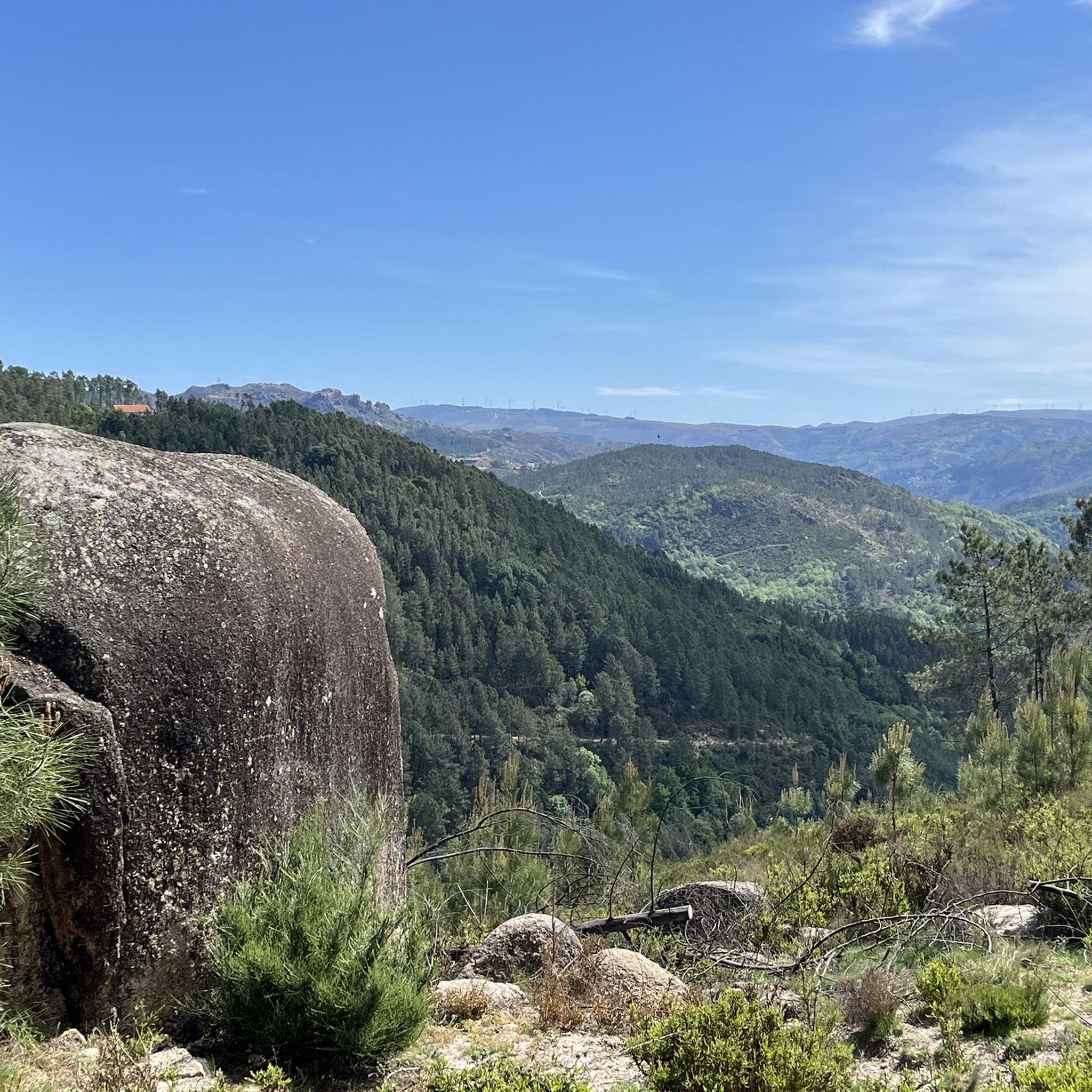
The hiking trails are well signposted and well-maintained, but good footwear is still important.
0
0

The tour indicated is twice as long, so not 12, but 24km. For a round trip, I expected the entire route to be 12km. So we had to find a shortcut. It's a shame, but it was still nice.
1
3

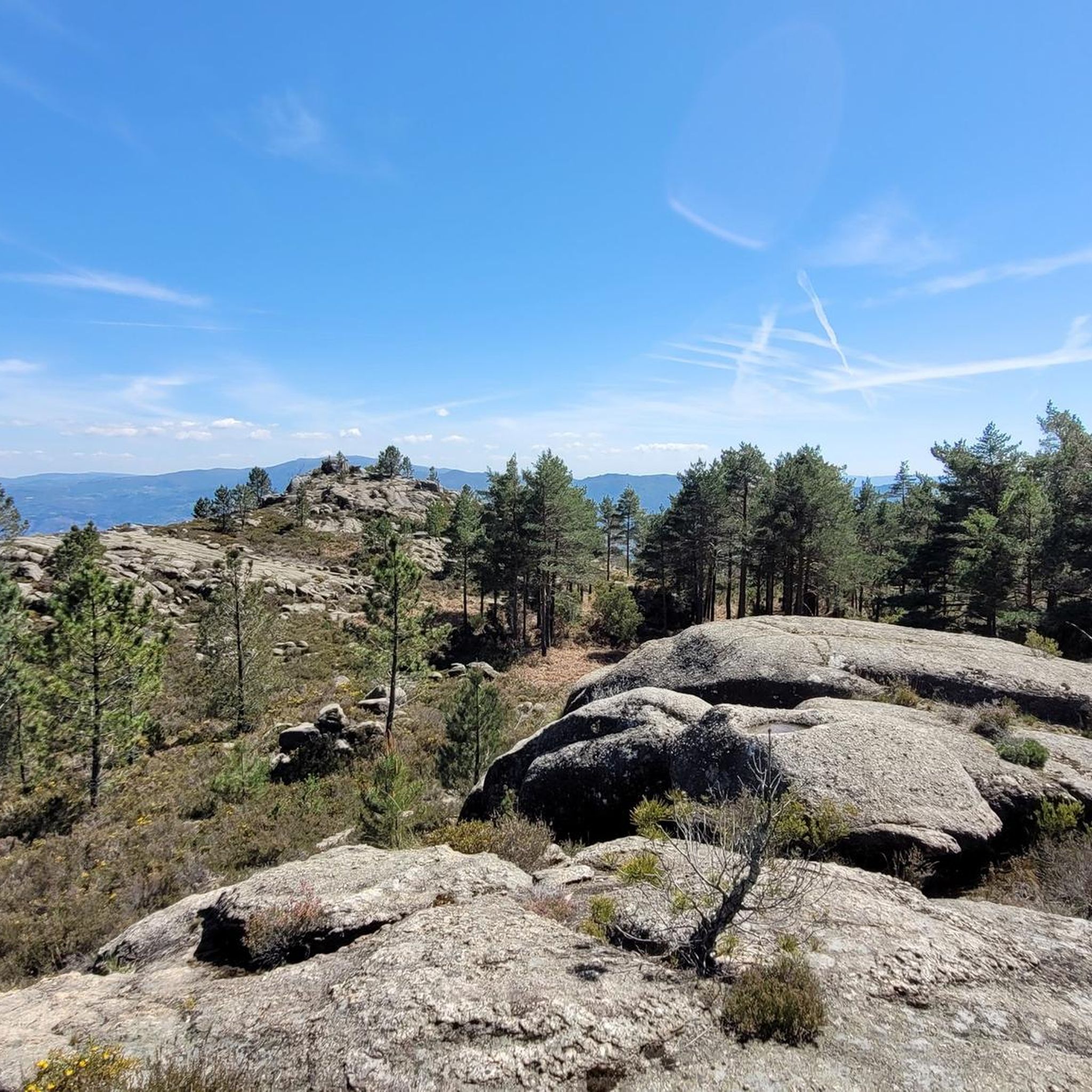
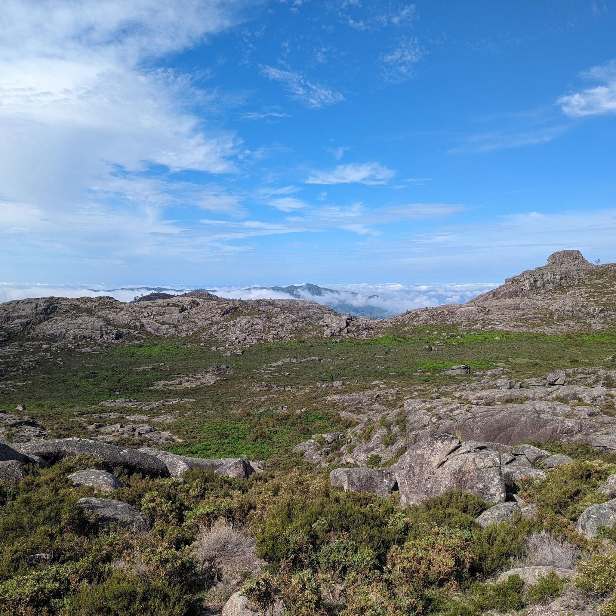
Pure nature in its spectacular wilderness. Highland pens are a feature of the Gerês Mountains landscape and are inextricably linked to the history and culture of local communities stretching back generations. This was once a shelter for shepherds.
2
0
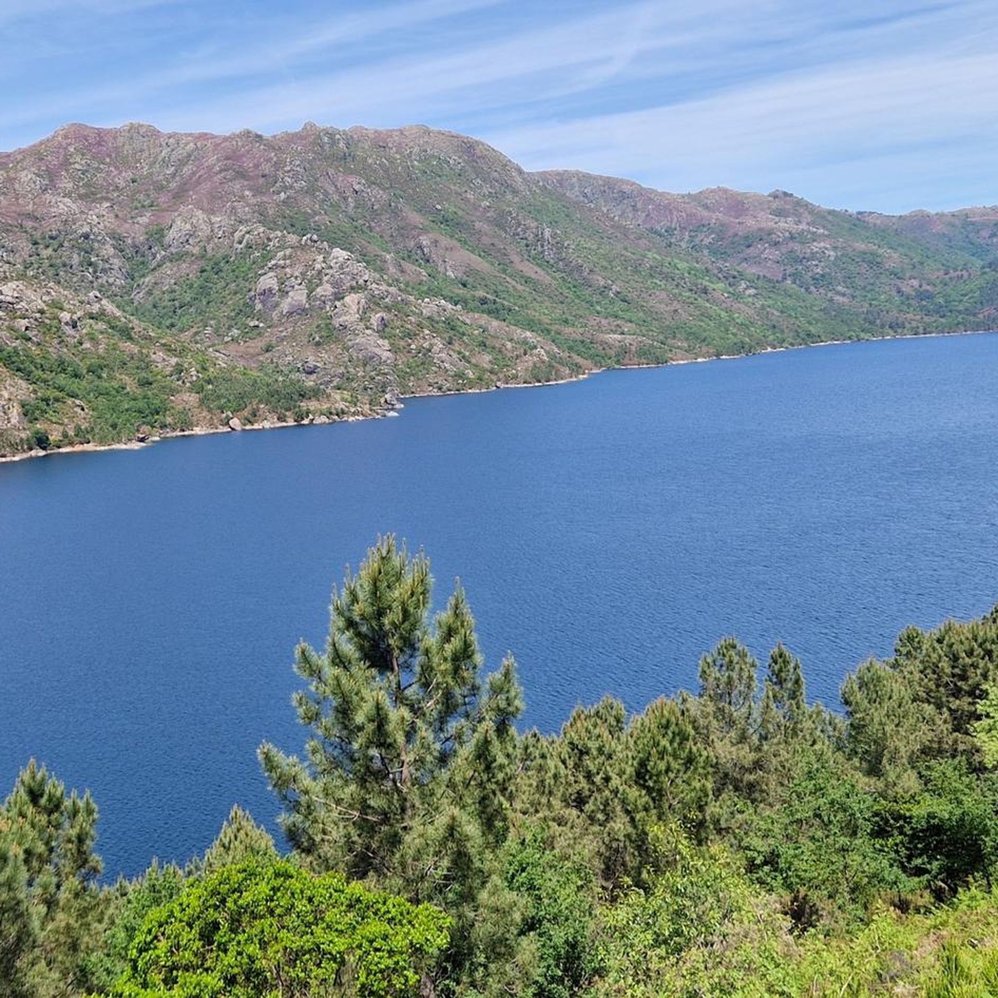
From this vantage point you have a beautiful view of Geres.
1
0

One of the most famous waterfalls is the Cascata Do Arado, whose waters pour into a picturesque swimming area. It's better to go in the morning - better light for taking photos.
4
1
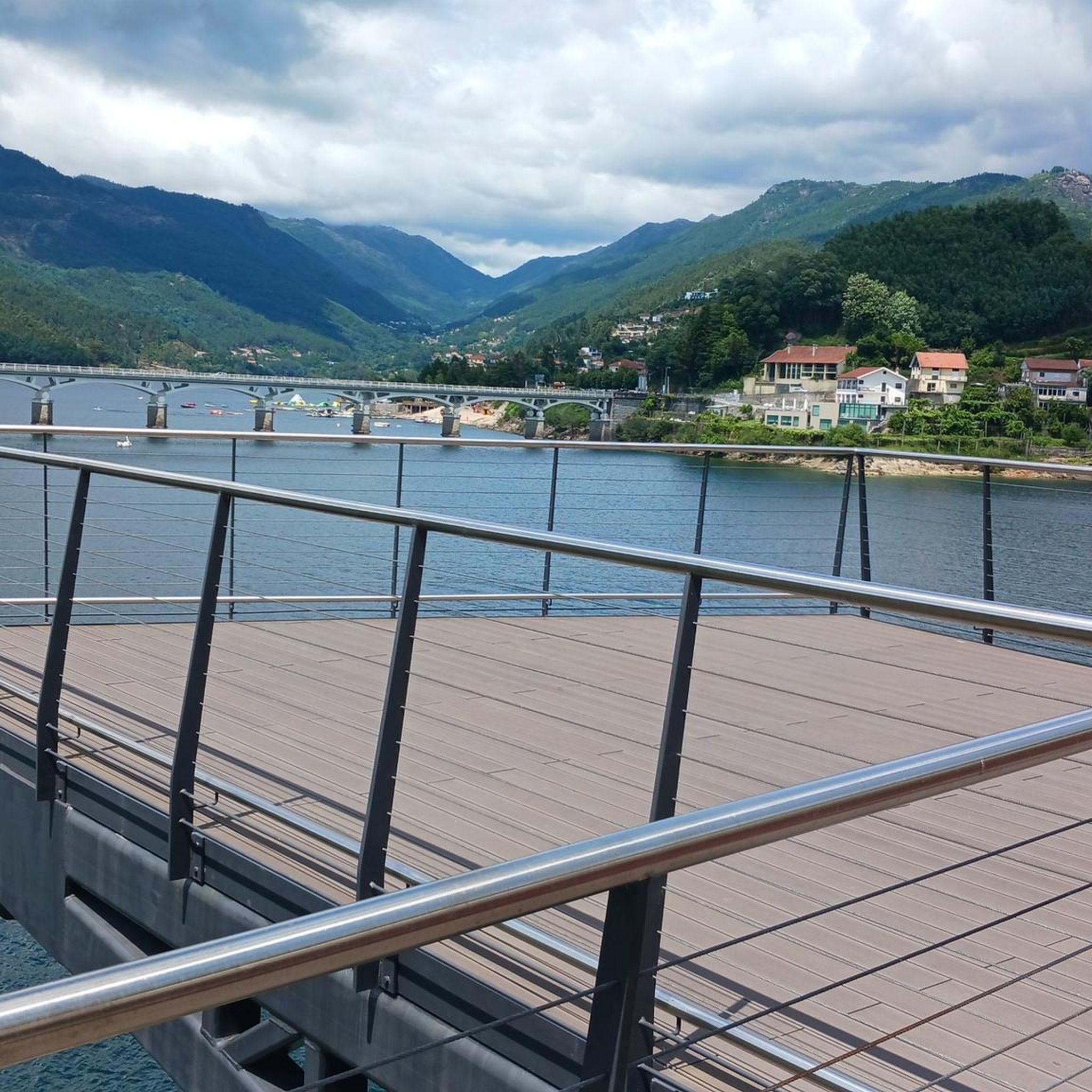
There are actually three viewing points with platforms and their own names.
2
0
Frequently Asked Questions
How many mountaineering routes are available around Ventosa?
There are 5 mountaineering routes detailed in this guide for the Ventosa area. These routes offer a range of experiences, from moderate walks to more demanding Alpine-style tours.
What kind of terrain can I expect on mountaineering routes in Ventosa?
Mountaineering routes around Ventosa feature diverse terrain, including high mountain chains, dense forests, and areas with notable natural features like waterfalls and historical sites. You'll find paths ranging from moderate walks to challenging climbs with significant elevation changes.
Are there any circular mountaineering routes in Ventosa?
Yes, several routes around Ventosa are circular. For example, the View of Cascata do Arado – Blue Pool loop from Ermida Gerês Camping is a challenging 14.3 km loop, and the Povoado da Calcedónia loop from Covide offers a moderate 6.5 km circular path.
What natural attractions can I see along the mountaineering routes?
Many routes in Ventosa pass by stunning natural attractions. You can encounter beautiful waterfalls like the Fecha de Barjas Waterfall (Tahiti) and the Pincães Waterfall. The Blue Pool is another popular highlight, and you might also explore geological features like the Fenda da Calcedónia.
Are there any moderate mountaineering options for those seeking a less strenuous experience?
Absolutely. While some routes are quite demanding, there are moderate options available. The Povoado da Calcedónia loop from Covide is a moderate 6.5 km path, and the Miradouro da Pedra Bela – Abrigo loop from Gerês is another moderate 10.9 km route, both offering beautiful scenery without extreme difficulty.
What do other mountaineers say about the routes in Ventosa?
The mountaineering routes around Ventosa are highly regarded by the komoot community, with an average rating of 4.1 stars from over 9 reviews. Many users appreciate the diverse landscapes, the challenging nature of some trails, and the stunning natural features like waterfalls and pools.
Are there routes that feature waterfalls?
Yes, several routes in Ventosa are known for their waterfalls. The Arado Waterfall loop from Gerês is a challenging 14.1 km route that takes you to the impressive Arado Waterfall. Another option is the Arado Waterfall – Poço Azul Natural Pool loop from Cascata do Arado, which also features this beautiful natural wonder.
What is the best time of year for mountaineering in Ventosa?
The region offers diverse conditions, but generally, spring and autumn provide pleasant temperatures and stable weather for mountaineering. Summer can be warm, especially at lower altitudes, while winter might bring snow and more challenging conditions in higher mountain areas, requiring appropriate gear and experience.
Are there any routes that offer panoramic views?
Yes, the mountainous terrain around Ventosa often provides spectacular panoramic views. Routes that ascend to higher elevations, such as those in the high mountain chains, will offer extensive vistas of the surrounding landscape. The Miradouro da Pedra Bela – Abrigo loop from Gerês, for instance, includes a viewpoint that offers great scenery.
What is the longest mountaineering route available in this guide?
The longest route featured in this guide is the Arado Waterfall – Poço Azul Natural Pool loop from Cascata do Arado, which spans 14.5 km and is classified as difficult. It typically takes around 5 hours and 48 minutes to complete.
What level of fitness is required for mountaineering in Ventosa?
The routes around Ventosa cater to various fitness levels. You'll find moderate paths suitable for those with good general fitness, as well as difficult routes that involve significant elevation gain and longer durations, requiring good fitness, sure-footedness, and potentially some alpine experience.
Most popular attractions around Ventosa

Get inspired with the komoot mobile app


Explore more
Browse the best Mountain Hikes & Routes in other regions.
