The best walks and hikes around Verim
4.6
(44)
207
hikers
8
hikes
Hiking around Verim offers trails through a landscape characterized by significant elevation changes, including the Piorneiro Summit at 992 meters. The region features terraced fields, river valleys, and forested areas, providing varied terrain for outdoor activities. These routes often connect small villages and offer views of the surrounding natural environment.
Best hiking trails around Verim
- The most popular hiking route is Piorneiro Summit (992 m) – PR12 Trail of the Mills loop from Chorense e Monte, an 8.8 miles…
Last updated: July 8, 2026
4.8
(8)
41
hikers
Moderate hike. Good fitness required. Easily-accessible paths. Suitable for all skill levels.
4.8
(5)
31
hikers
13.0km
04:00
460m
460m
Moderate hike. Good fitness required. Easily-accessible paths. Suitable for all skill levels.

Sign up for free
4.5
(8)
37
hikers
10.0km
03:03
340m
340m
Moderate hike. Good fitness required. Easily-accessible paths. Suitable for all skill levels.
4.7
(3)
16
hikers
12.0km
03:55
530m
530m
Moderate hike. Good fitness required. Easily-accessible paths. Suitable for all skill levels.
4.8
(4)
34
hikers
6.73km
01:56
170m
170m
Easy hike. Great for any fitness level. Easily-accessible paths. Suitable for all skill levels.
Get access to more routes and recommendations from other explorers.
Sign up for free
Already have an account?
Our route recommendations are based on thousands of hikes, rides, and runs completed by other people on komoot.
Start today with a free account
Your next adventure awaits.
Login or Signup
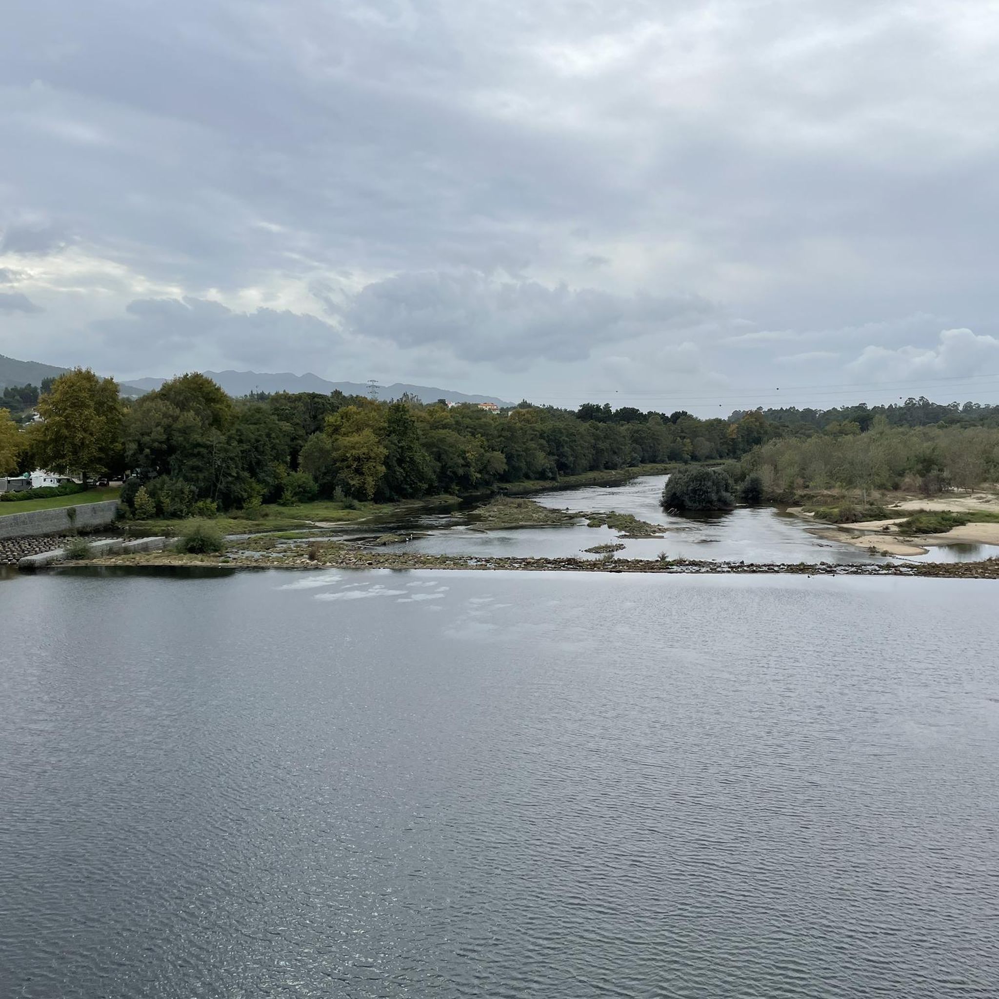

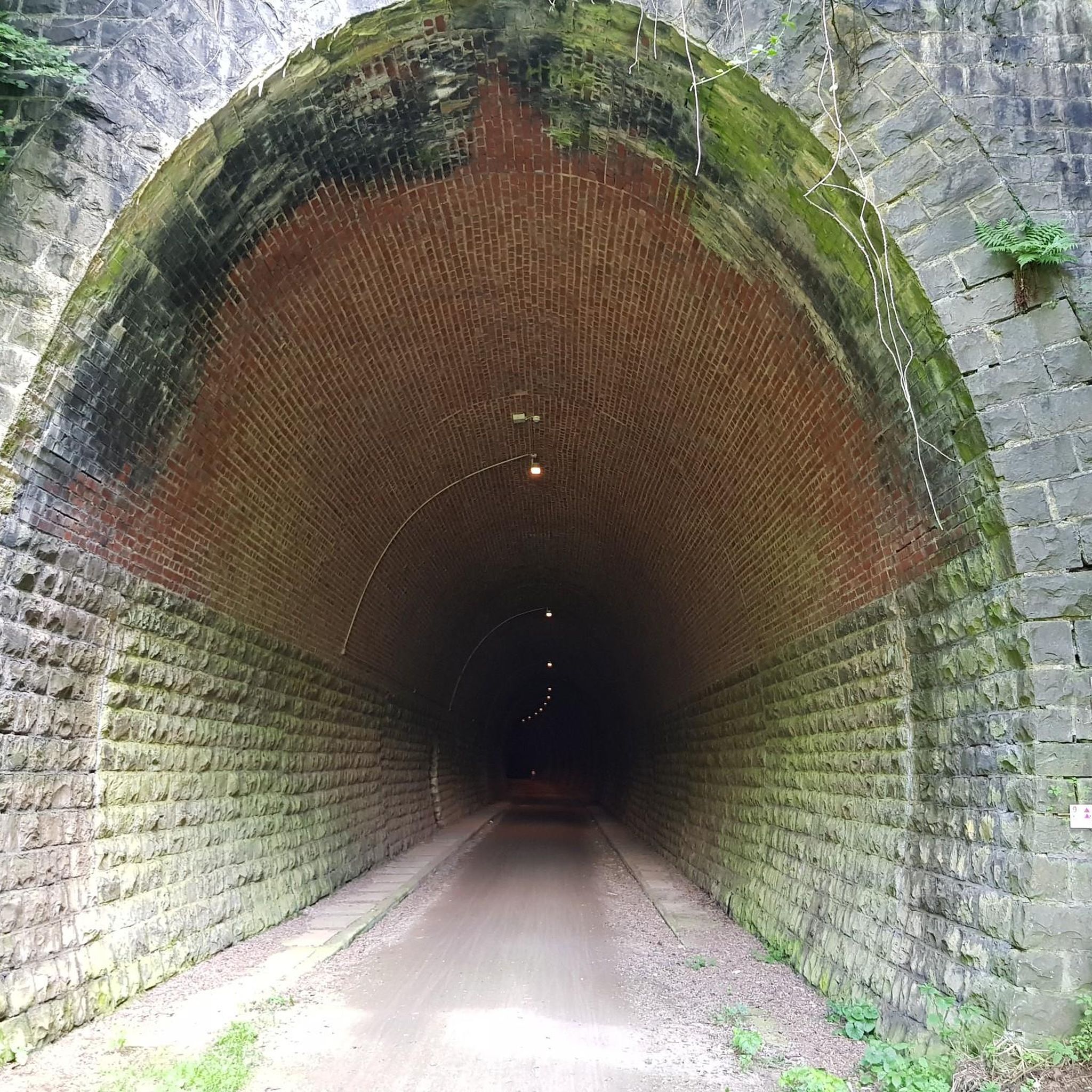
Tips from the Community

somewhat adventurous paths
0
0

The milestones themselves didn't tell me much. The route is beautiful, sometimes difficult, but mostly doable. Sometimes there are also mountain bikers
1
0

What a great place! This rich green is a beautiful play of colours.
2
0

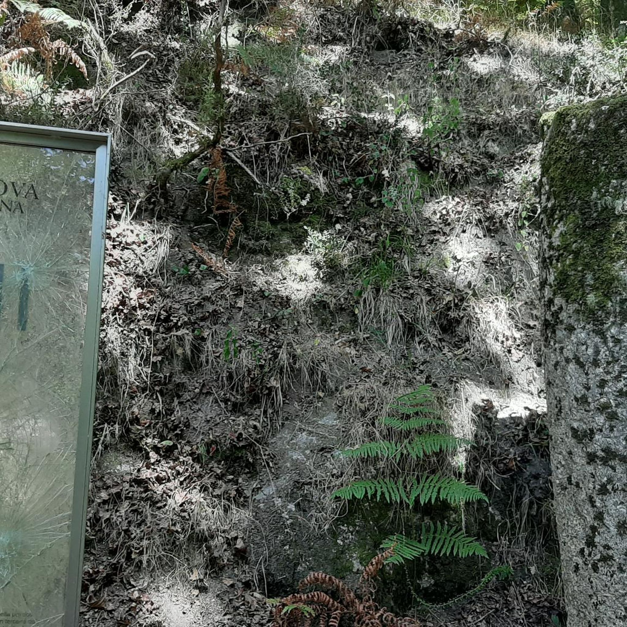
Roman milestone on the Vía Romana XVIII - Nova or Geira. Almost not to be seen.
1
0
Roman milestone on the Vía Romana XVIII - Nova or Geira
3
0
Good starting point for the pr9 trilho da geira
2
1
Frequently Asked Questions
How many hiking trails are available around Verim?
There are 8 hiking trails listed around Verim, offering a range of experiences from easy strolls to more challenging ascents.
Are there easy hiking options for beginners or families in Verim?
Yes, for an easier experience, the Lanhoso loop from Póvoa de Lanhoso is a 4.2-mile (6.7 km) trail that takes about 2 hours to complete. It's suitable for beginners and those looking for a less strenuous walk.
What kind of terrain can I expect on hikes around Verim?
Hikes around Verim feature a diverse landscape with significant elevation changes, including the Piorneiro Summit at 992 meters. You'll traverse terraced fields, explore river valleys, and walk through forested areas, providing varied terrain and scenic views.
Are there any circular walks in Verim?
Yes, many of the trails around Verim are designed as loops, allowing you to start and end at the same point. Examples include the popular Piorneiro Summit (992 m) – PR12 Trail of the Mills loop from Chorense e Monte and the Path Along the Terraced Fields loop from Monte.
What do other hikers enjoy most about hiking in Verim?
The area is highly rated by the komoot community, with an average score of 4.6 stars from over 39 reviews. Hikers often praise the varied terrain, the expansive views from higher points like Piorneiro Summit, and the charm of walking through terraced fields and rural landscapes.
Are there any viewpoints or interesting landmarks to see along the trails?
While hiking, you can enjoy panoramic views, especially from the Piorneiro Summit. Nearby attractions include the São Bento Swing Viewpoint, the Caniçada Dam, and the unique Ernesto Korrodi's Artificial Grotto of Bom Jesus.
How long do hikes around Verim typically take?
Hike durations vary depending on the route and your pace. For instance, the moderate Piorneiro Summit (992 m) – PR12 Trail of the Mills loop from Chorense e Monte typically takes around 4 hours 29 minutes, while the easier Lanhoso loop from Póvoa de Lanhoso can be completed in about 1 hour 56 minutes.
Are the hiking trails around Verim suitable for dogs?
Most hiking trails in natural areas like Verim are generally dog-friendly, provided dogs are kept under control, especially around livestock or wildlife. It's always advisable to carry water for your pet and check local signage for any specific restrictions.
Where can I find parking for the Verim hiking trails?
Many of the trails start from villages or accessible points, suggesting parking availability. For example, routes like the Hiking loop from Chorense and the Path Along the Terraced Fields loop from Monte indicate starting points where you can typically find parking in or near the respective villages.
What is the best time of year to hike in Verim?
The best time to hike in Verim is generally during spring and autumn when the weather is milder and the natural scenery is vibrant. Summer can also be pleasant, especially at higher elevations, but be prepared for warmer temperatures. Winter hikes are possible, but higher routes might be colder or have more challenging conditions.
Are there any challenging hikes for experienced hikers?
Yes, for experienced hikers looking for a challenge, several moderate routes offer significant elevation gain. The Piorneiro Summit (992 m) – PR12 Trail of the Mills loop from Chorense e Monte, with over 560 meters of ascent, provides a rewarding challenge and expansive views from the summit.
Most popular routes around Verim
Most popular attractions around Verim

Get inspired with the komoot mobile app


Explore more
Browse the best Hikes in other regions.
