The best cycling routes around Pereiras-Gare
3.8
(7)
64
riders
8
rides
Touring cycling around Pereiras-Gare offers routes through the diverse landscapes of Portugal's Alentejo region. The terrain features rolling hills, cork oak forests, and olive groves, providing varied scenery for cyclists. The region is characterized by its natural beauty, including the Mira River and its reservoir, and is situated near the Southwest Alentejo and Vicentine Coast Natural Park. These physical features create an ideal backdrop for touring cycling, with routes that traverse both paved and unpaved surfaces.
Best touring cycling routes…
Last updated: July 11, 2026
5.0
(3)
15
riders
Moderate bike ride. Good fitness required. Mostly paved surfaces. Suitable for all skill levels.
5.0
(2)
11
riders
74.8km
05:20
1,560m
1,560m
Hard bike ride. Very good fitness required. Mostly paved surfaces. Suitable for all skill levels.

Sign up for free
3.3
(3)
11
riders
Moderate bike ride. Good fitness required. Mostly paved surfaces. Suitable for all skill levels.
4.3
(3)
16
riders
35.7km
02:35
750m
750m
Hard bike ride. Very good fitness required. Mostly paved surfaces. Suitable for all skill levels.
10
riders
Hard bike ride. Very good fitness required. Mostly paved surfaces. Suitable for all skill levels.
Get access to more routes and recommendations from other explorers.
Sign up for free
Already have an account?
Our route recommendations are based on thousands of hikes, rides, and runs completed by other people on komoot.
Start today with a free account
Your next adventure awaits.
Login or Signup
Popular around Pereiras-Gare
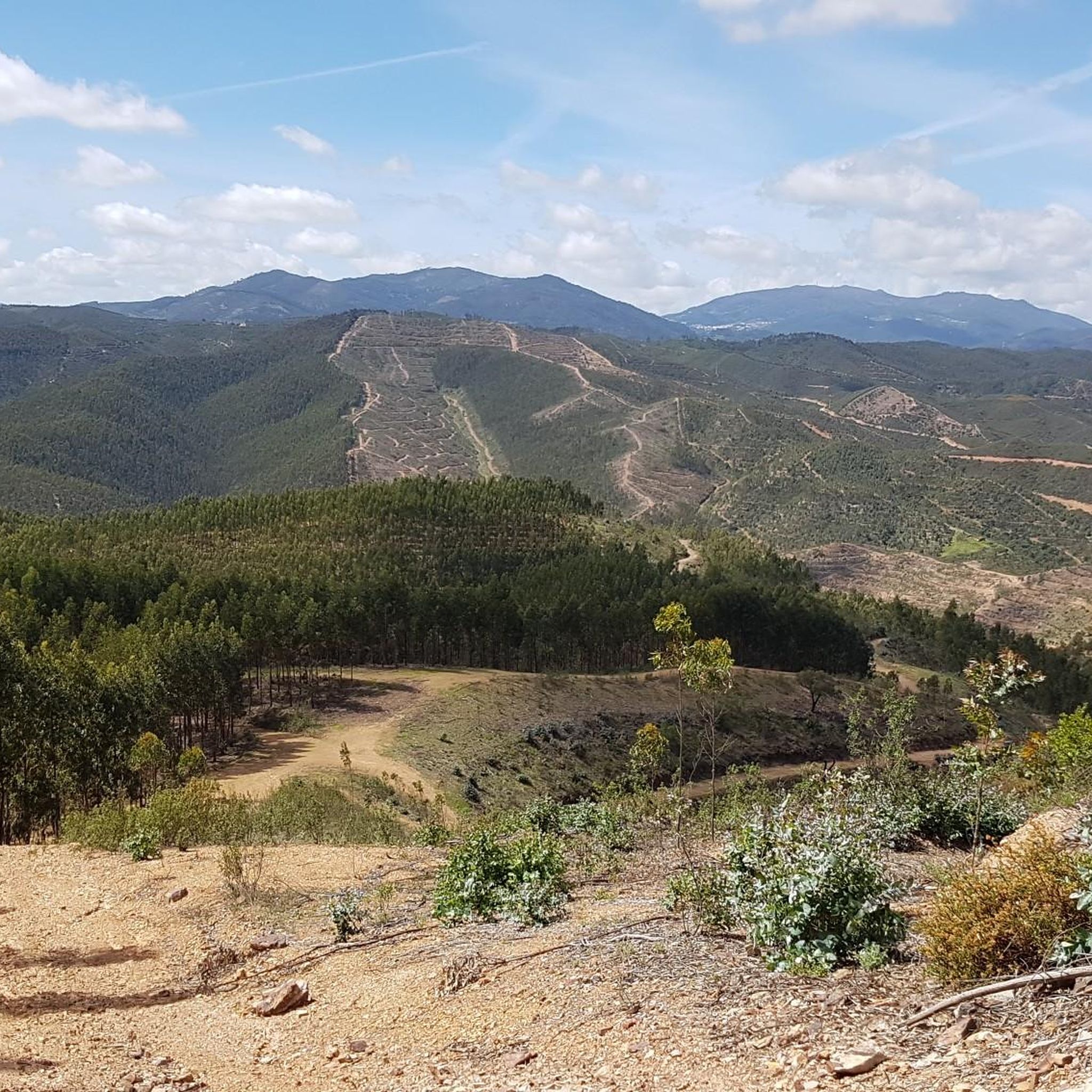
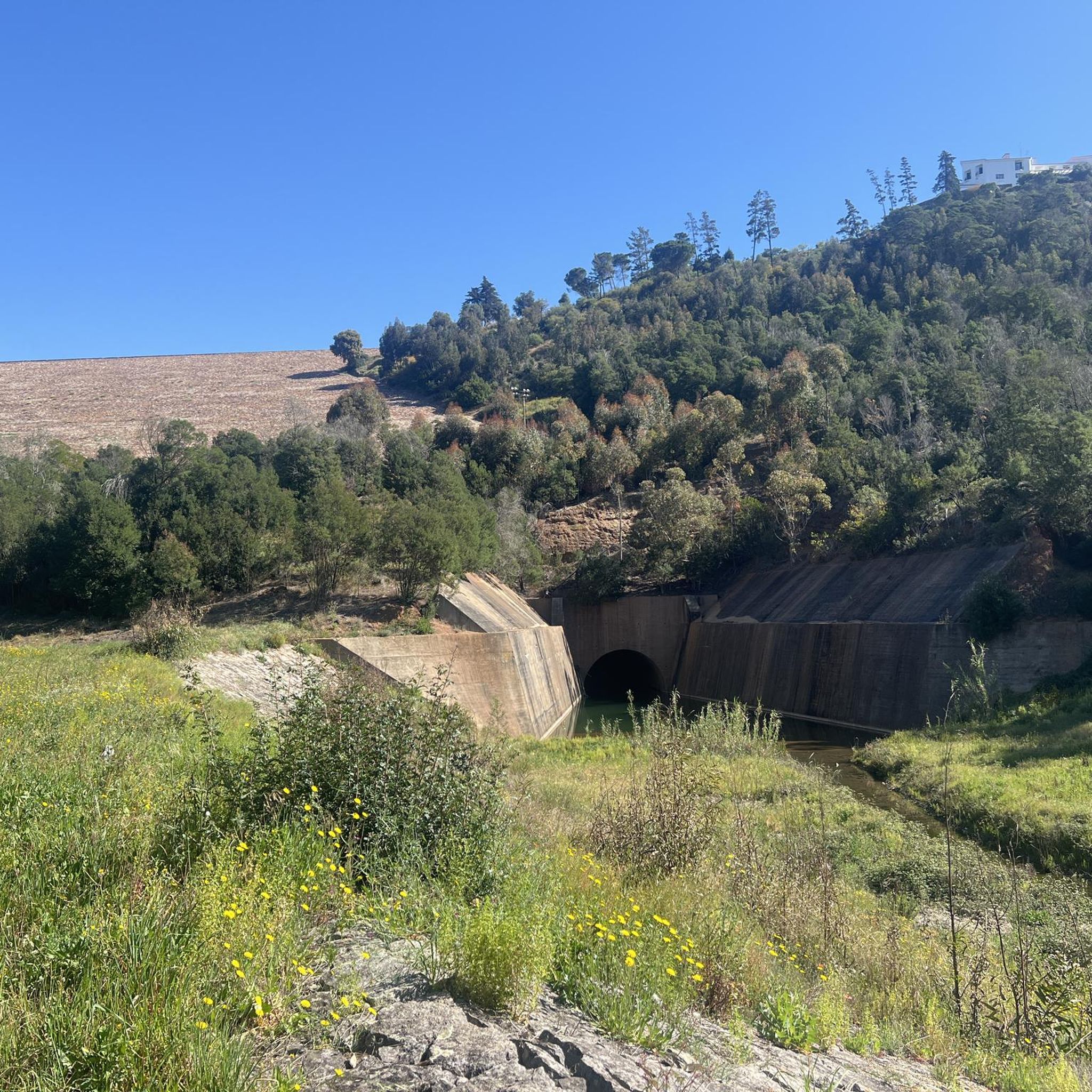
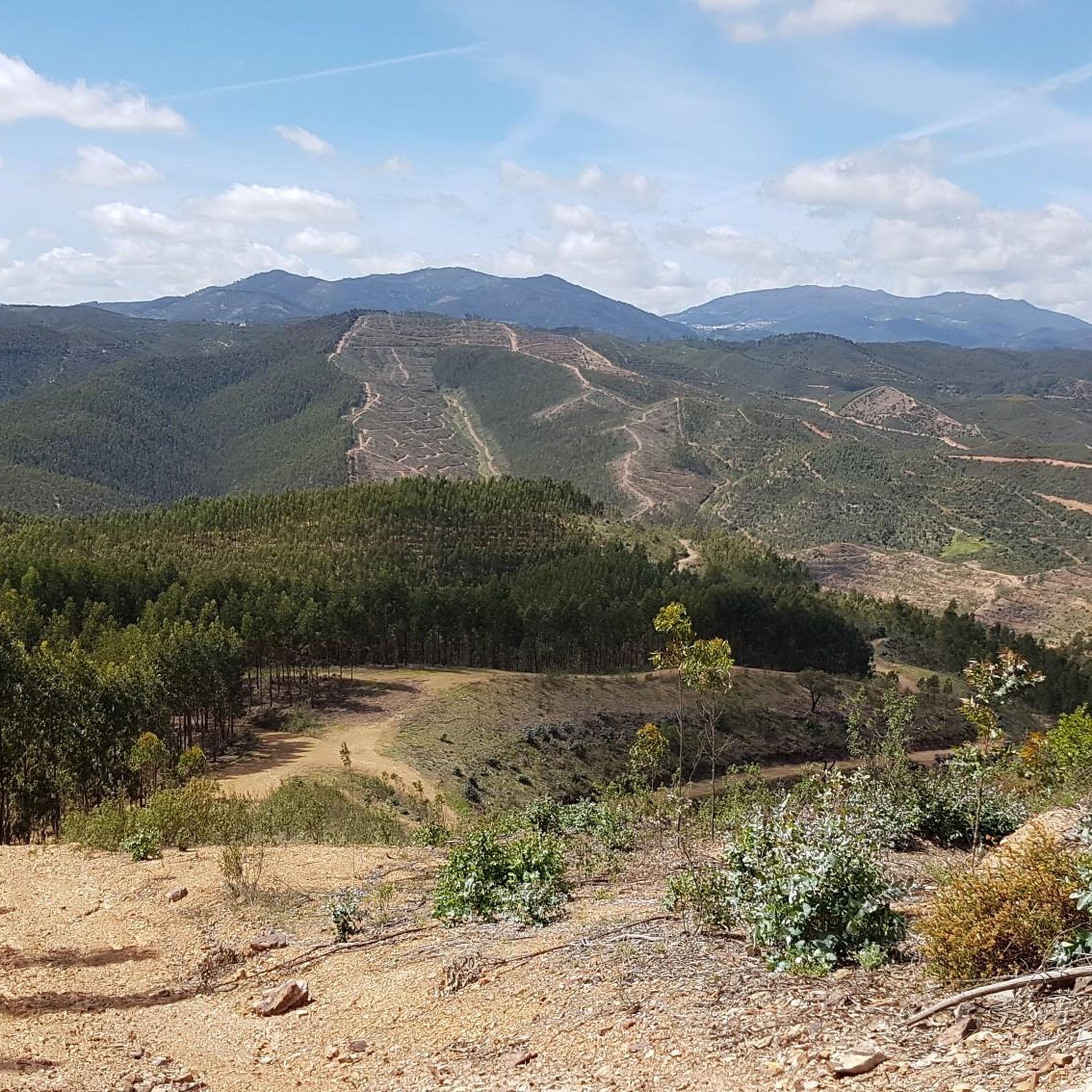
Tips from the Community

We had really thick fog here, but it was still lovely. The funny cyclist figure, well... 8-)
0
0

At the top of the Monchique mountain range rises Foia, the highest point in the Algarve, at 902 meters altitude. Its antennas mark the summit where the sky seems closest and, on clear days, the view reaches the Atlantic. Up here, the wind blows freely and the view is simply unforgettable.
2
0

The summit is worth it - unfortunately, the biker on the pedestal is no longer there.
1
0

A beautiful place in the heart of the Algarve! Monchique, the "Village of Orange Blossoms" - Known for its healing springs and thermal baths since Roman times - Surrounded by green mountains and orange groves - Home to the highest mountain in the Algarve, Foa
3
0

Monchique is a charming, small village with narrow streets, colorful houses, and a traditional Portuguese atmosphere. You'll find local shops, cafés, and restaurants, often clustered around the central square. It's the perfect place to enjoy the tranquil mountain scenery and authentic Algarve culture.
2
0
The center of Monchique is a charming, small village with narrow streets, colorful houses, and a traditional Portuguese atmosphere. You'll find local shops, cafés, and restaurants, often clustered around the central square. It's the perfect place to enjoy the tranquil mountain scenery and authentic Algarve culture.
2
0

The highest point of the Algarve, Foie, is a stone's throw from Monchique. From this point you have a phenomenal view of the Algarve and the ocean. On the other side you can even see Lisbon on clear days. The view is particularly beautiful. For the active ones, there are also various walks starting from this highest point through the beautiful surroundings on top of the mountain.
0
0
Monchique is one of the most beautiful villages in Portugal. Monchique is located about fifteen kilometers inland in the Algarve. It is one of the highest villages in Portugal located in the mountains above the Algarve. It is mainly known as a wellness resort with its natural spring. Monchique is located just below the highest point of the Algarve. The village is characterized by streets with small stones that wind up towards the mountain. It is a beautiful village with many 18th and 19th century houses. The central square is very atmospheric with its fountains and beautiful flower beds. The drive up through the beautiful nature alone is more than worth a visit to Monchique. Caldes de Monchique is located near the village. This is the place where the Romans discovered the healing spring water from the mountains. The spring water comes out of the mountain here with a temperature between 27 and 31 degrees Celsius. It is said that it is very healthy for the body. Especially people with muscle and intestinal complaints.
0
0
Frequently Asked Questions
How many touring cycling routes are available around Pereiras-Gare?
There are 9 touring cycling routes documented on komoot around Pereiras-Gare. These routes offer a variety of experiences through the region's diverse landscapes.
What kind of terrain can I expect on touring cycling routes in Pereiras-Gare?
The terrain around Pereiras-Gare features rolling hills, cork oak forests, and olive groves. You'll encounter a mix of paved surfaces (asphalt and cobblestones) and unpaved, hard-packed gravel paths, with some sandy sections, especially on routes that are part of the Rota Vicentina network. Expect occasional longer ascents and descents.
Are there any easy touring cycling routes suitable for beginners?
While many routes involve some elevation, you can find moderate options. For example, the Seiceira Dirt Road – Azilheira cycling route loop from Estação Ferroviária de São Marcos is a moderate 14.3-mile (23.0 km) path that navigates dirt roads and offers views of the Alentejo landscape without extreme challenges.
What are some scenic natural features or landmarks I can see along the routes?
The region is rich in natural beauty. You can explore areas near the Mira River and its reservoir. Notable attractions include the Barranco do Demo Walkway, known for its suspension bridge, and the Fonte Santa Thermal Baths. The Santa Clara Dam and Odelouca Dam also offer picturesque views.
Are there any circular touring cycling routes in the area?
Yes, many routes are designed as loops. A popular circular route is the Azilheira cycling route – Fields and Cork Oak Woodlands loop from Estação Ferroviária de São Marcos, which is 23.1 miles (37.2 km) long and explores fields and cork oak woodlands.
What is the best time of year to go touring cycling around Pereiras-Gare?
The Alentejo region generally offers pleasant cycling conditions outside of the peak summer months when temperatures can be very high. Spring and autumn provide milder weather, making them ideal for touring cycling, allowing you to enjoy the landscapes comfortably.
What do other touring cyclists say about the routes in Pereiras-Gare?
The routes in Pereiras-Gare are highly rated by the komoot community, with an average score of 3.9 stars from 9 reviews. Over 60 touring cyclists have used komoot to explore the varied terrain, often praising the quiet roads and scenic views of the Alentejo landscape.
Are there any routes that offer significant elevation challenges?
Yes, for those seeking more challenging rides, there are routes with significant elevation gain. The Monchique Town Center – Foia Summit loop from São Marcos da Serra, for instance, covers 74.6 miles (120.1 km) with over 1500 meters of elevation, leading through the Monchique mountains.
Can I access these cycling routes using public transport?
While Pereiras-Gare itself does not have a train station, some routes in the vicinity, such as those starting from Estação Ferroviária de São Marcos, are accessible by train. This allows for car-free access to certain starting points.
Are there any routes that pass through traditional villages or cultural sites?
Many routes in the Alentejo region traverse traditional villages and agricultural landscapes. You might pass by sites like the historic Parish Church of São Marcos da Serra, which adds a cultural dimension to your ride.
What is the longest touring cycling route available?
The longest touring cycling route listed is the Monchique Town Center – Foia Summit loop from São Marcos da Serra, which spans 74.6 miles (120.1 km) and typically takes over 5 hours to complete due to its significant elevation changes.
Most popular routes around Pereiras-Gare
Most popular attractions around Pereiras-Gare

Get inspired with the komoot mobile app


Explore more
Browse the best Cycling routes in other regions.
