The best road cycling routes around Ponta Garça
4.3
(20)
202
riders
8
rides
Road cycling around Ponta Garça, located on the island of São Miguel in the Azores, features a landscape shaped by volcanic activity, offering varied terrain for road cyclists. The region is characterized by significant elevation changes, with routes often traversing coastal areas, ascending to viewpoints, and circling volcanic lakes. These physical features contribute to challenging road cycling routes with substantial climbs and descents.
Best road cycling routes around Ponta Garça
- The most popular road cycling route is From Ponta Delgada to Lagoa de Furnas — route on the Island of São Miguel, a 54.2 miles (87.2 km) trail that takes 5 hours 6 minutes to complete. This route connects key locations on the island, offering a challenging ride through varied landscapes.
- Another top favourite among local road cyclists is View of Furnas Lake – Santa Iria Viewpoint loop from Ponta Delgada, a difficult 59.9 miles (96.5 km) path. This loop provides extensive views of Furnas Lake and the coastline from Santa Iria Viewpoint.
- Local road cyclists also love the View of Furnas Lake – Poça da Dona Beija loop from Furnas, a 58.2 miles (93.7 km) trail leading through volcanic landscapes and past thermal springs, often completed in about 5 hours 25 minutes.
- Road cycling around Ponta Garça is defined by volcanic lakes, coastal roads, and challenging climbs to panoramic viewpoints. The network primarily offers routes suited for advanced road cyclists due to significant elevation gains.
- The routes in Ponta Garça are highly rated by the komoot community with an average score of 4.3 stars from over 20 reviews. More than 195 road cyclists have used komoot to explore Ponta Garça's varied terrain.
Last updated: July 18, 2026
4.0
(3)
30
riders
87.2km
05:06
1,510m
1,510m
Hard road ride. Very good fitness required. Some segments of this route may be unpaved and difficult to ride.
4.9
(8)
65
riders
96.5km
05:26
1,760m
1,760m
Hard road ride. Very good fitness required. Some segments of this route may be unpaved and difficult to ride.

Sign up for free
5.0
(4)
49
riders
93.7km
05:25
1,750m
1,750m
Hard road ride. Very good fitness required. Some segments of this route may be unpaved and difficult to ride.
1.0
(1)
38
riders
89.1km
05:02
1,960m
1,960m
Hard road ride. Very good fitness required. Mostly well-paved surfaces and easy to ride.
5.0
(1)
8
riders
91.4km
05:53
2,520m
2,520m
Hard road ride. Very good fitness required. Some segments of this route may be unpaved and difficult to ride.
Get access to more routes and recommendations from other explorers.
Sign up for free
Already have an account?
Our route recommendations are based on thousands of hikes, rides, and runs completed by other people on komoot.
Start today with a free account
Your next adventure awaits.
Login or Signup
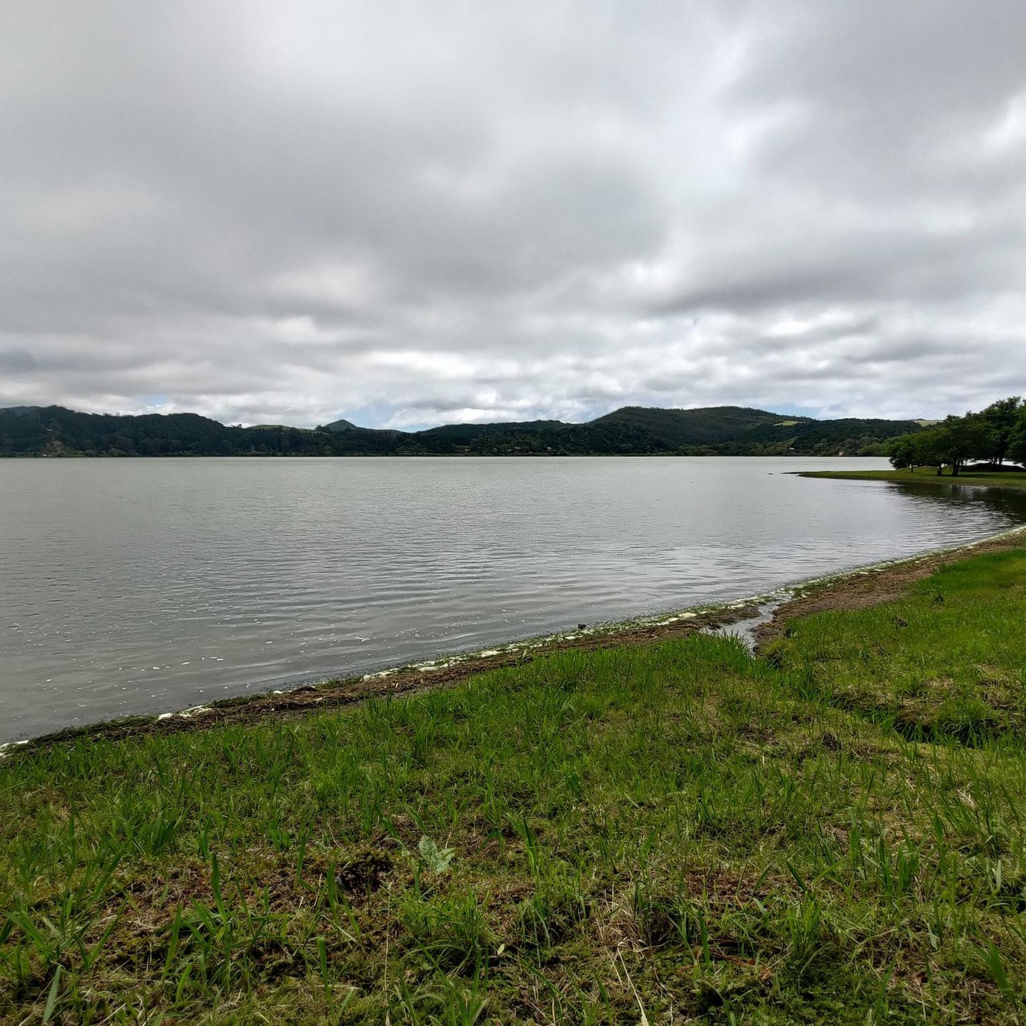
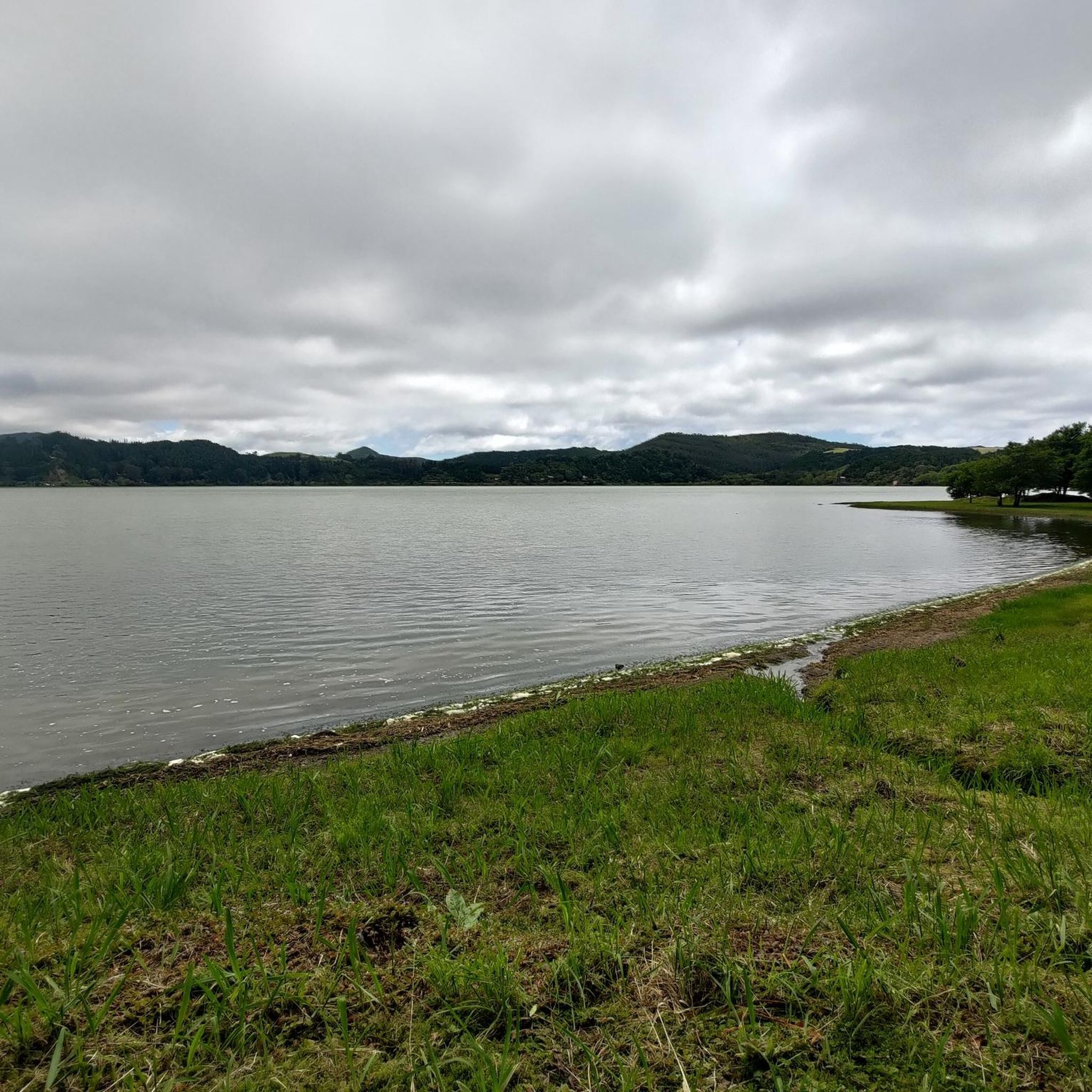
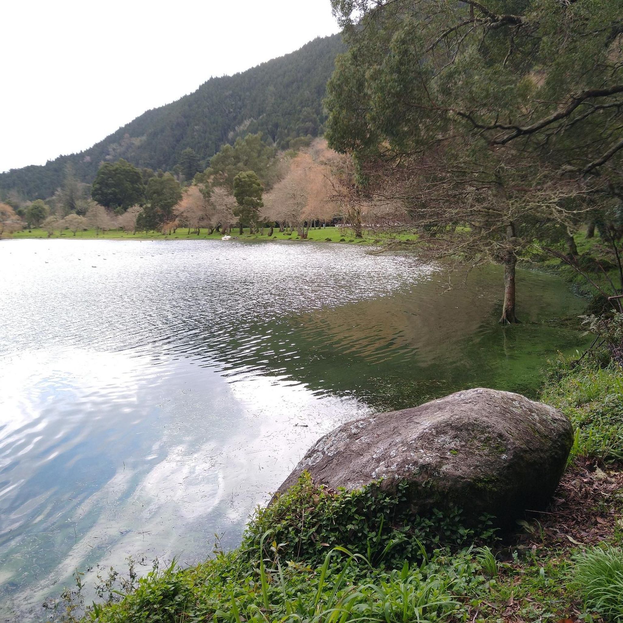
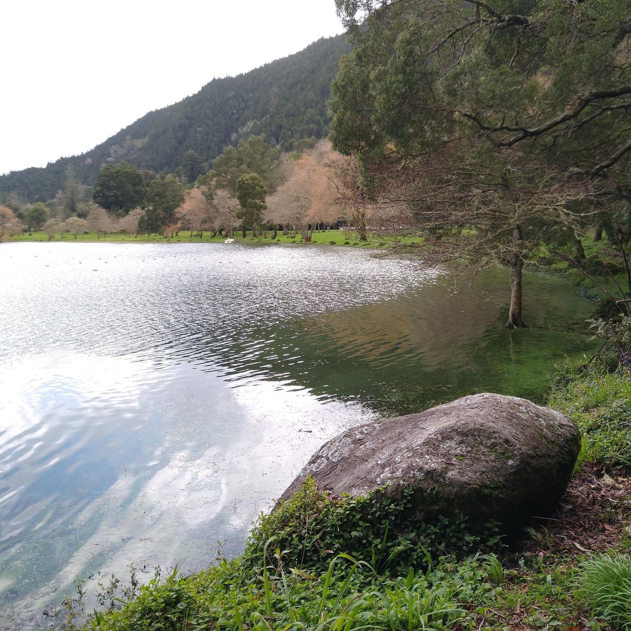
Tips from the Community

Ascent to Pico da Barrosa – Panoramic views over the island The ascent to Pico da Barrosa leads steadily uphill and rewards with impressive views over the south coast and the crater landscape around Lagoa do Fogo. The route is easy to walk or drive and offers constant clear views of the surrounding volcanic slopes. A worthwhile section for anyone who wants to combine altitude meters with great views.
0
0
Descent from Lagoa do Fogo – Spectacular view into the valley The descent from Lagoa do Fogo offers wide views over the mountain slopes down to the coast. The road winds steeply and curvily downhill, surrounded by dense vegetation and volcanic slopes. A section that impresses with its scenery and is really fun – ideal for a short photo stop along the way.
0
0

Beautifully laid out, you can walk through the fumaroles.
0
0


Wonderful place, I recommend a visit
0
0

We drove to the small district town (1900 inhabitants) for breakfast and shopping and then immediately visited the harbor and took a walk along the cliffs.
0
0
It is beautiful around here.
0
0
Frequently Asked Questions
What is the typical difficulty level for road cycling routes around Ponta Garça?
Road cycling routes in Ponta Garça are generally considered difficult. The region's volcanic landscape features significant elevation changes, with routes often including substantial climbs and descents, making them best suited for experienced road cyclists.
Are there any beginner-friendly road cycling routes in Ponta Garça?
Due to the challenging terrain and significant elevation gains, there are no routes specifically categorized as easy or moderate for road cycling in Ponta Garça. All listed routes are rated as difficult, making them more suitable for advanced cyclists.
How many road cycling routes are available in the Ponta Garça area?
There are 8 distinct road cycling routes available around Ponta Garça, each offering a challenging ride through the island's unique volcanic landscape.
What kind of natural attractions can I expect to see along the road cycling routes in Ponta Garça?
The routes often pass by stunning natural attractions. You can expect to see volcanic lakes like Furnas Lake and Lagoa do Fogo (Lagoon of Fire), as well as impressive waterfalls such as Window of Hell Waterfall, Cabrito Waterfall, and Ribeira dos Caldeirões Waterfall. Some routes also pass near the geothermal activity of Furnas Caldeiras (Hot Springs).
Are there specific viewpoints to look out for on road cycling routes near Ponta Garça?
Yes, several routes offer panoramic views. The route View of Furnas Lake – Santa Iria Viewpoint loop from Ponta Delgada specifically highlights the Santa Iria Viewpoint, which provides extensive views of Furnas Lake and the coastline. Many other routes traverse elevated areas, offering numerous scenic overlooks of the island's dramatic landscapes.
Are there many circular road cycling routes around Ponta Garça?
Yes, several popular road cycling routes in the area are designed as loops. Examples include the View of Furnas Lake – Santa Iria Viewpoint loop from Ponta Delgada and the View of Furnas Lake – Poça da Dona Beija loop from Furnas, allowing cyclists to start and end at the same point.
What is the best time of year for road biking in Ponta Garça?
The Azores generally have a mild climate year-round. However, for road cycling, the spring (April-June) and autumn (September-October) months often offer the most pleasant conditions with moderate temperatures and less rainfall than winter, making them ideal for tackling the challenging routes.
What should I know about parking when planning a road cycling trip in Ponta Garça?
While specific parking areas for each route are not detailed, starting points for many routes are often in towns like Ponta Delgada or Furnas. These towns typically offer public parking facilities. It's advisable to check local parking regulations and availability in your chosen starting location.
Are there cafes or places to stop for refreshments along the road cycling routes?
The routes often pass through or near villages and towns such as Furnas and Ponta Delgada, where you can find cafes and restaurants to refuel. It's recommended to plan your stops in advance, especially on longer routes, as services may be sparse in more remote sections.
What do other road cyclists enjoy most about road cycling in Ponta Garça?
The komoot community highly rates road cycling in Ponta Garça, with an average score of 4.3 stars. Cyclists frequently praise the challenging climbs, the stunning panoramic views of volcanic lakes and the coastline, and the unique experience of riding through the island's diverse volcanic landscapes.
How long do road cycling routes around Ponta Garça typically take to complete?
The duration of road cycling routes in Ponta Garça varies depending on the specific route and your pace, but they are generally long and challenging. For example, the From Ponta Delgada to Lagoa de Furnas — route on the Island of São Miguel is approximately 54.2 miles (87.2 km) and takes about 5 hours 6 minutes, while the Santa Iria Viewpoint – View of Lagoa do Fogo loop from Furnas is 91.2 km and can take over 5 hours 50 minutes.
Most popular routes around Ponta Garça
Most popular attractions around Ponta Garça

Get inspired with the komoot mobile app


Explore more
Browse the best Road cycling routes in other regions.
