The best walks and hikes around São Brás
4.5
(517)
2,458
hikers
24
hikes
Hiking around São Brás offers diverse natural landscapes within the Eastern Algarve, characterized by the rolling hills of the Serra do Caldeirão mountain range. This region features cork oak forests, river valleys, and varied flora, providing a tranquil environment for outdoor activities. The terrain includes modest hills, with the highest point reaching 589 meters, and a network of streams.
Best hiking trails around São Brás
- The most popular hiking route is Passagem das Bestas — circular route on Terceira Island…
Last updated: July 8, 2026
4.8
(104)
457
hikers
3.94km
01:10
110m
110m
Easy hike. Great for any fitness level. Easily-accessible paths. Suitable for all skill levels.
4.6
(46)
273
hikers
4.82km
01:31
200m
200m
Easy hike. Great for any fitness level. Easily-accessible paths. Suitable for all skill levels.

Sign up for free
4.4
(23)
97
hikers
Easy hike. Great for any fitness level. Easily-accessible paths. Suitable for all skill levels.
4.8
(35)
191
hikers
5.14km
01:34
190m
180m
Easy hike. Great for any fitness level. Easily-accessible paths. Suitable for all skill levels.
4.6
(5)
37
hikers
3.08km
00:58
120m
120m
Easy hike. Great for any fitness level. Easily-accessible paths. Suitable for all skill levels.
Get access to more routes and recommendations from other explorers.
Sign up for free
Already have an account?
Our route recommendations are based on thousands of hikes, rides, and runs completed by other people on komoot.
Start today with a free account
Your next adventure awaits.
Login or Signup
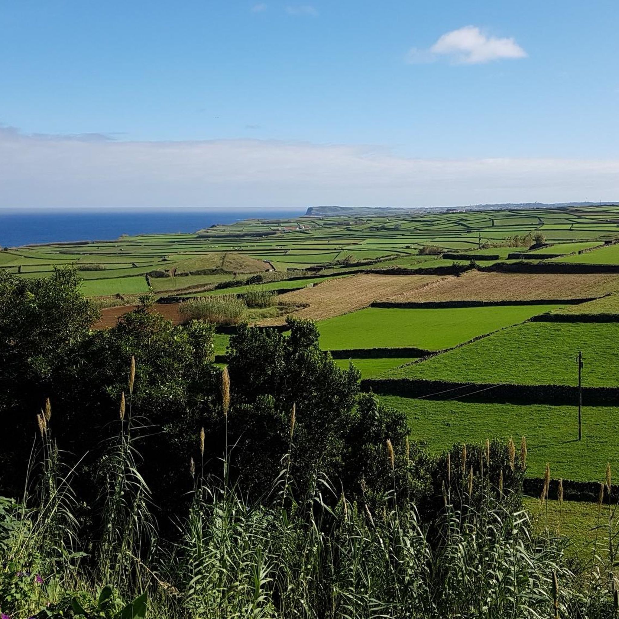

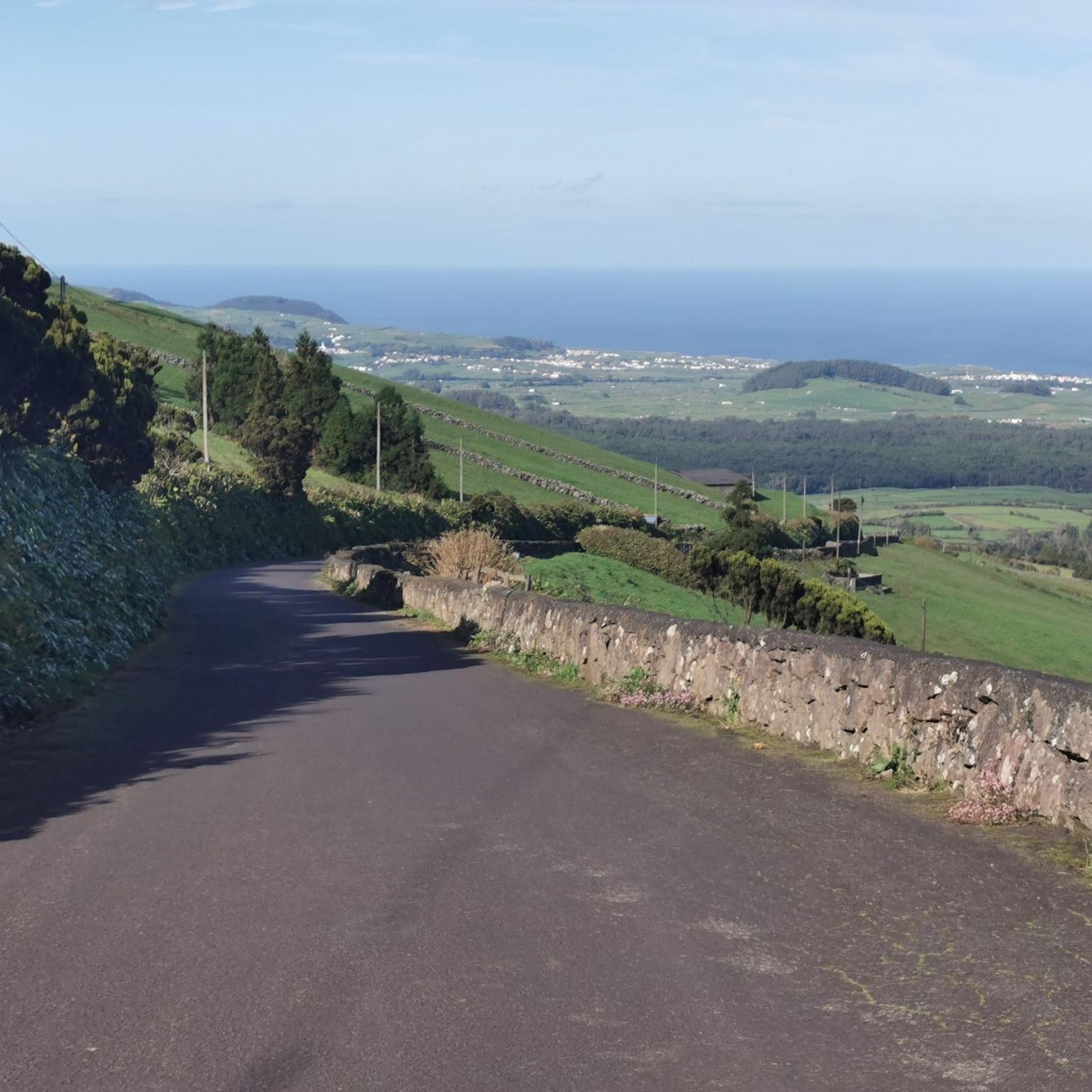
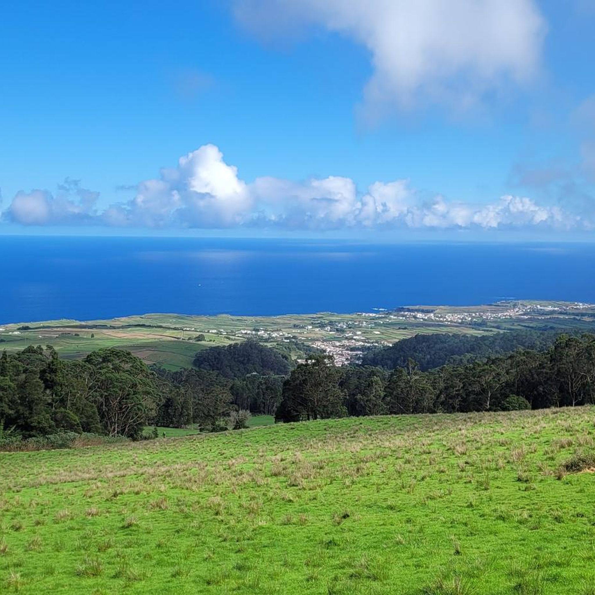
Tips from the Community

The trail is well marked. Some truly beautiful viewpoints!
0
0

It's a beautiful hike, but I'd classify it as moderately difficult. It's quite steep uphill at one point, and the paths are very uneven.
1
0

Very cool historical artifact: the original wheels of one of the ox carts that marked the trail of the same name. The entrance to the route is exposed. It is not possible to travel on a road bike; Still, it's interesting to admire.
0
0
Very cool historical artifact: the original wheels of one of the ox carts that marked the trail of the same name. The entrance to the route is exposed.
1
0
A discreet monument that represents Terceira Island. It is a basalt sculpture along the trail, immersed in nature, created by sculptor Fernando Rossado, dated 2016. There are instructional signs at the site.
1
0
An unnoticed hiker might think that it is an extinct train track. However, the Relheiras are marks - grooves - caused by the passage of ox carts over the years. An open-air monument of cultural and natural importance in the Azores.
1
0
A place to contemplate the sea and remember who is in charge. The imposing waves carve the coast with volcanic rocks; content yourself with admiring the view from the unique viewpoint of the north coast of Terceira Island.
0
0
Little-known area of the Azores - and what is unknown is also beautiful. Simply incredible site that provides a unique view of the north coast of Terceira Island.
1
0
Frequently Asked Questions
How many hiking trails are available around São Brás de Alportel?
There are over 20 hiking routes documented on komoot around São Brás de Alportel. These trails cater to various preferences, with a strong emphasis on easy and moderate options, making the region accessible for many hikers.
What is the best time of year to go hiking in São Brás de Alportel?
The best time for hiking in São Brás de Alportel is typically during spring (when wildflowers are in bloom) and autumn. The region's Mediterranean climate means summers can be very hot, while winters are mild. Spring and autumn offer pleasant temperatures and vibrant landscapes, especially in the cork oak forests and river valleys.
Are there family-friendly hiking trails in São Brás de Alportel?
Yes, São Brás de Alportel offers several easy trails suitable for families. Many routes are characterized by gentle rolling hills and well-defined paths through cork oak forests, providing a pleasant experience for all ages. For example, the Passagem das Bestas — circular route is an easy option that takes just over an hour to complete.
Can I bring my dog on the hiking trails in São Brás de Alportel?
Many trails in the São Brás de Alportel region are dog-friendly, allowing you to explore the natural beauty with your canine companion. It's always recommended to keep dogs on a leash, especially in areas with wildlife or near agricultural land, and to carry water for both yourself and your pet.
Are there circular hiking routes available in the area?
Yes, São Brás de Alportel features several excellent circular hiking routes, which are ideal for experiencing the diverse landscapes without needing to retrace your steps. Popular options include the Baías da Agualva — circular route and the Relheiras de São Brás — circular route, both offering immersive experiences through the region's natural and cultural heritage.
What kind of landscapes and natural features can I expect to see while hiking?
Hiking in São Brás de Alportel offers a rich tapestry of landscapes. You'll primarily encounter vast cork oak forests, along with holm oaks and eucalyptus, providing ample shade. Trails often lead through picturesque river valleys with diverse flora, including wildflowers, cistus bushes, and various fruit trees. The elevated terrain of the Serra do Caldeirão also provides panoramic views of the surrounding hills.
What wildlife might I encounter on the trails?
The Serra do Caldeirão region is home to diverse wildlife. While hiking, you might spot various bird species, including birds of prey. Mammals such as wild boar, foxes, and rabbits inhabit the cork oak forests. The tranquil environment also supports a variety of insects and reptiles, contributing to the area's rich biodiversity.
Are there any historical sites or attractions near the hiking trails?
Yes, the region blends natural beauty with cultural heritage. You can explore sites like the ancient Roman road, Calçadinha Romana, accessible via a trail behind the Igreja Matriz in the town center. Other notable attractions include the Sulphur Furnaces and the Wagon Wheels of the Primitivo Trail, which offer glimpses into the area's past.
Is parking available at the trailheads?
While specific parking information for every trailhead isn't always detailed, São Brás de Alportel is generally accessible, and many trailheads, especially those starting near villages or the town center, offer convenient parking options. It's advisable to check individual route details on komoot for precise parking recommendations.
What do other hikers enjoy most about hiking in São Brás de Alportel?
The hiking trails around São Brás de Alportel are highly rated by the komoot community, with an average score of 4.5 stars from over 450 reviews. Hikers frequently praise the tranquil ambiance, the beauty of the cork oak forests, and the well-maintained paths that offer a genuine escape into nature away from the busier coastal areas of the Algarve.
Are there any challenging hikes in São Brás de Alportel?
The majority of hikes in São Brás de Alportel are classified as easy or moderate, making them suitable for a wide range of fitness levels. While there are no routes categorized as 'difficult' in this guide, the moderate trails offer enough elevation gain and distance to provide a satisfying challenge for those looking for a more strenuous walk.
Are there any waterfalls or significant water features along the trails?
The region is characterized by a dense network of streams and river valleys, particularly within the Serra do Caldeirão. While there aren't prominent waterfalls, trails often lead through lush areas with watercourses, such as the Fonte Benémola, which is known for its fruit and vegetable gardens and typical Barrocal landscape, offering refreshing natural settings.
Most popular routes around São Brás
Most popular attractions around São Brás

Get inspired with the komoot mobile app


Explore more
Browse the best Hikes in other regions.
