The best walks and hikes around Geiersnest West
4.6
(2980)
11,236
hikers
463
hikes
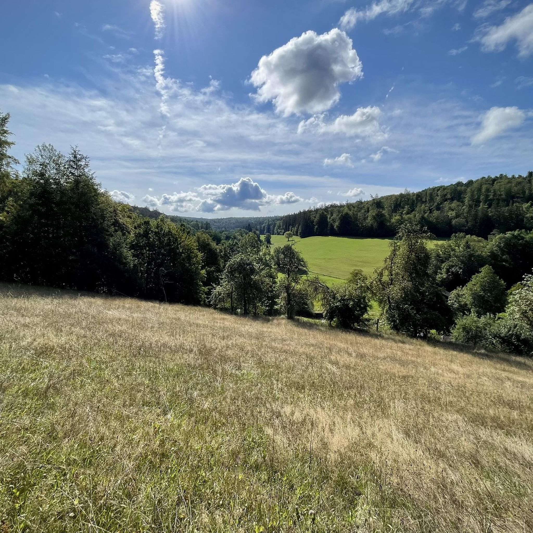
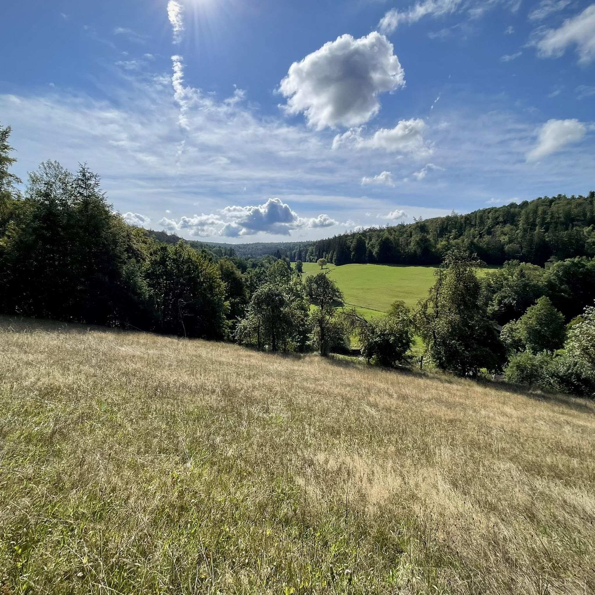
Hiking around Geiersnest West is characterized by its entirely forested terrain, covering an area of 2.42 square kilometers. The highest elevation in the region is the Apfelberg, reaching 424 meters above sea level. This uninhabited area offers a network of trails suitable for easy hikes and walks through its woodlands. The landscape primarily consists of dense forests and gentle hills, providing a tranquil outdoor experience.
Best hiking trails around Geiersnest West
- The most popular hiking route is Aspenmühle Trailhead loop…
Last updated: July 14, 2026
4.8
(6)
20
hikers
5.29km
01:29
110m
110m
Easy hike. Great for any fitness level. Easily-accessible paths. Suitable for all skill levels.
4.8
(6)
20
hikers
5.29km
01:29
110m
110m
Easy hike. Great for any fitness level. Easily-accessible paths. Suitable for all skill levels.

Sign up for free
2.5
(2)
12
hikers
14.9km
04:02
200m
190m
Moderate hike. Good fitness required. Easily-accessible paths. Suitable for all skill levels.
5.0
(3)
14
hikers
4.67km
01:28
180m
180m
Moderate hike. Great for any fitness level. Mostly accessible paths. Sure-footedness required.
5.0
(1)
11
hikers
10.1km
02:46
170m
170m
Moderate hike. Good fitness required. Easily-accessible paths. Suitable for all skill levels.
Get access to more routes and recommendations from other explorers.
Sign up for free
Already have an account?
Our route recommendations are based on thousands of hikes, rides, and runs completed by other people on komoot.
Start today with a free account
Your next adventure awaits.
Login or Signup
Tips from the Community


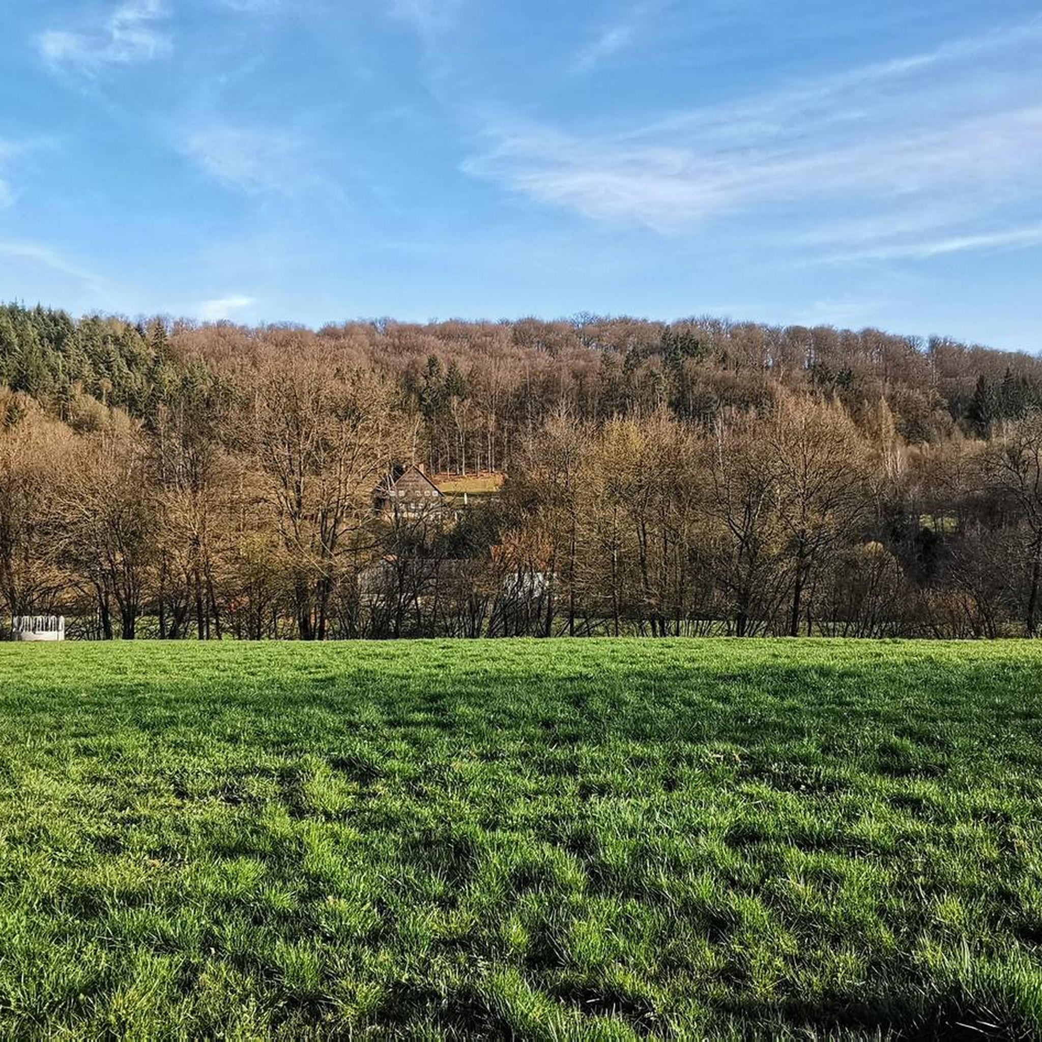
A truly beautiful mill in the Schondra Valley. Absolutely worth a visit.
0
0

Beautiful view of the Rhön and surrounding area.
0
0

Heckmühlsterg closed for renovation
0
0

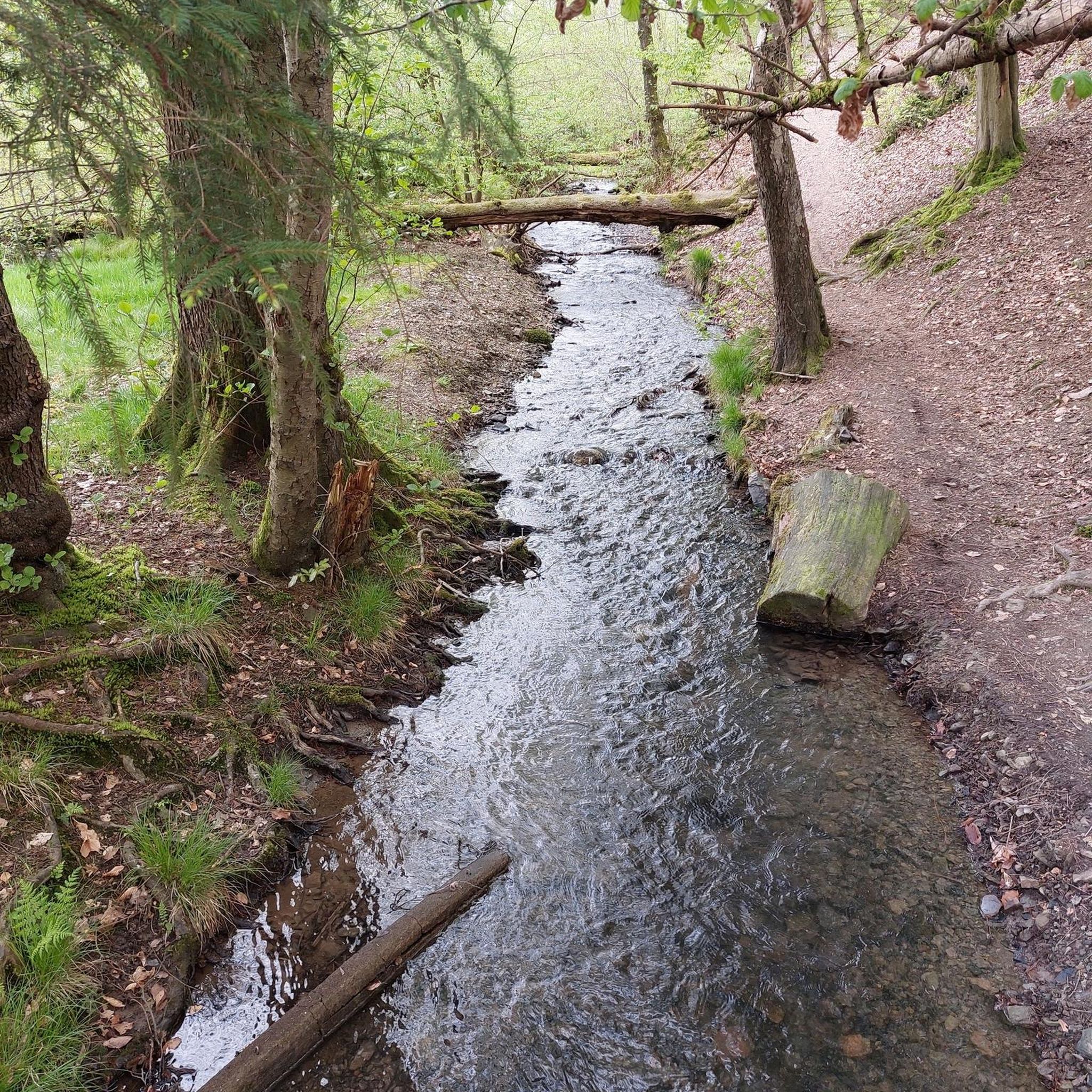
Anyone hiking along the Schondra can be tempted to take a short detour here: with a break at the Kneipp pool, a really beautiful path to and over the Mittelmühlsteg and the opportunity to fill up their water bottles at the chapel in the village.
1
0
A very beautiful and spacious campsite right on the Schondra River. Groups can register here: https://www.main-spessart.de/themen/tourismus-kultur/neuer-ordner/index.html?detID=376. Individuals or small groups on foot should also be able to spontaneously find a spot to spend the night here. Impeccable facilities (large meadow, several fire pits, grill; kitchen and restroom/shower available upon registration) and the opportunity to meet friendly people.
0
0
If you're following the Schondra River on a hike, this is a highly recommended short detour. The detour also offers a lovely rest area (with a Kneipp pool, playground, and seating) and the opportunity to refill water bottles at the chapel in the village.
0
0

A nice starting point for a tour
2
0
Frequently Asked Questions
How many hiking trails are available in Geiersnest West?
Geiersnest West offers a wide variety of hiking opportunities, with over 450 routes recorded on komoot. These range from easy walks to more challenging moderate trails, ensuring there's something for every hiker.
Are there easy hiking trails suitable for beginners or families in Geiersnest West?
Yes, Geiersnest West is an excellent area for easy hikes. Over 200 of the trails are classified as easy, making them perfect for beginners, families, or those looking for a relaxed walk. A popular easy option is the Aspenmühle Trailhead loop from Unterleichtersbach, which is 5.3 km long and takes about 1 hour 30 minutes.
What kind of terrain can I expect on the hiking trails in Geiersnest West?
The terrain in Geiersnest West is predominantly forested, characterized by dense woodlands and gentle hills. As an uninhabited area, the trails offer a tranquil outdoor experience through natural, wooded landscapes. The highest point is the Apfelberg, at 424 meters above sea level.
Are there any longer or more challenging routes for experienced hikers?
While many trails are easy, Geiersnest West also features over 230 moderate routes for those seeking a longer or more challenging experience. For example, the Scheuermühle – Sippachsmühle loop from Geiersnest West is a moderate 14.9 km trail that takes around 4 hours to complete, leading through varied forested terrain.
What are some interesting natural features or landmarks to see while hiking?
While Geiersnest West is primarily known for its dense forests, the surrounding area offers several points of interest. You can explore natural monuments like the Basalt Lake Tintenfass or the Wernarzer Spring Temple. For scenic views, consider highlights such as the View of Kleiner Auersberg or the Legend of the Three Proud Ladies of Dreistelz.
Are there any circular hiking routes in Geiersnest West?
Yes, many of the trails in Geiersnest West are designed as circular routes, allowing you to start and end at the same point. Examples include the Aspenmühle Trailhead loop from Untergeiersnest and the View from Dreistelz loop from Dreistelzer Forst, which offer convenient options for exploring the area.
What do other hikers say about the trails in Geiersnest West?
The trails in Geiersnest West are highly regarded by the komoot community, with an average rating of 4.6 stars from over 2,700 reviews. Hikers often praise the quiet, uninhabited nature of the area, the dense woodlands, and the well-maintained paths suitable for various skill levels.
Is Geiersnest West suitable for dog-friendly hikes?
Given its extensive forested terrain and network of trails, Geiersnest West is generally suitable for dog-friendly hikes. The quiet, natural environment provides ample space for dogs to enjoy the outdoors. Always ensure your dog is under control and check local regulations regarding leashes.
Are there any specific viewpoints or panoramic vistas in Geiersnest West?
While Geiersnest West itself is densely forested, the broader region offers some viewpoints. The View of Kleiner Auersberg is a notable highlight that provides scenic vistas. For a hike with potential views, consider the View from Dreistelz loop from Dreistelzer Forst.
What is the best time of year to go hiking in Geiersnest West?
Geiersnest West, with its forested landscape, is enjoyable throughout much of the year. Spring and autumn offer pleasant temperatures and beautiful foliage, while summer provides lush greenery. Winter hikes are also possible, though conditions may vary and appropriate gear is recommended.
Are there any cafes or places to eat near the hiking trails in Geiersnest West?
Geiersnest West is an uninhabited area, so there are no cafes or restaurants directly within the forest. However, you can find dining options in nearby towns and villages surrounding the region, such as Wartmannsroth, which is mentioned in fan-out queries and suggests local amenities.
What is the highest point in Geiersnest West?
The highest elevation within Geiersnest West is the Apfelberg, which reaches 424 meters above sea level. This peak is part of the gentle hills that characterize the region's forested landscape.
Most popular attractions around Geiersnest West

Get inspired with the komoot mobile app


Explore more
Browse the best Hikes in other regions.
