The best walks and hikes around Souto
4.5
(47)
349
hikers
25
hikes
Hiking around Souto, located in the municipality of Penedono, Viseu, Portugal, offers varied terrain suitable for diverse outdoor activities. The region features an average elevation of 690 meters, with a minimum of 480 meters and a maximum of 951 meters, indicating a landscape with significant changes in altitude. This topographic variability provides opportunities for exploring ridges and valleys, with trails offering different levels of challenge. The broader vicinity suggests the presence of water features and established walkways, complementing the natural…
Last updated: June 26, 2026
3.0
(3)
25
hikers
6.25km
01:37
40m
40m
Easy hike. Great for any fitness level. Easily-accessible paths. Suitable for all skill levels.
4.5
(2)
31
hikers
8.97km
02:17
20m
20m
Moderate hike. Good fitness required. Easily-accessible paths. Suitable for all skill levels.

Sign up for free
4.3
(3)
23
hikers
3.46km
00:54
30m
30m
Easy hike. Great for any fitness level. Easily-accessible paths. Suitable for all skill levels.
4.8
(5)
13
hikers
18.3km
04:44
100m
100m
Moderate hike. Good fitness required. Easily-accessible paths. Suitable for all skill levels.
4
hikers
5.00km
01:19
40m
40m
Easy hike. Great for any fitness level. Easily-accessible paths. Suitable for all skill levels.
Get access to more routes and recommendations from other explorers.
Sign up for free
Already have an account?
Our route recommendations are based on thousands of hikes, rides, and runs completed by other people on komoot.
Start today with a free account
Your next adventure awaits.
Login or Signup
Tips from the Community


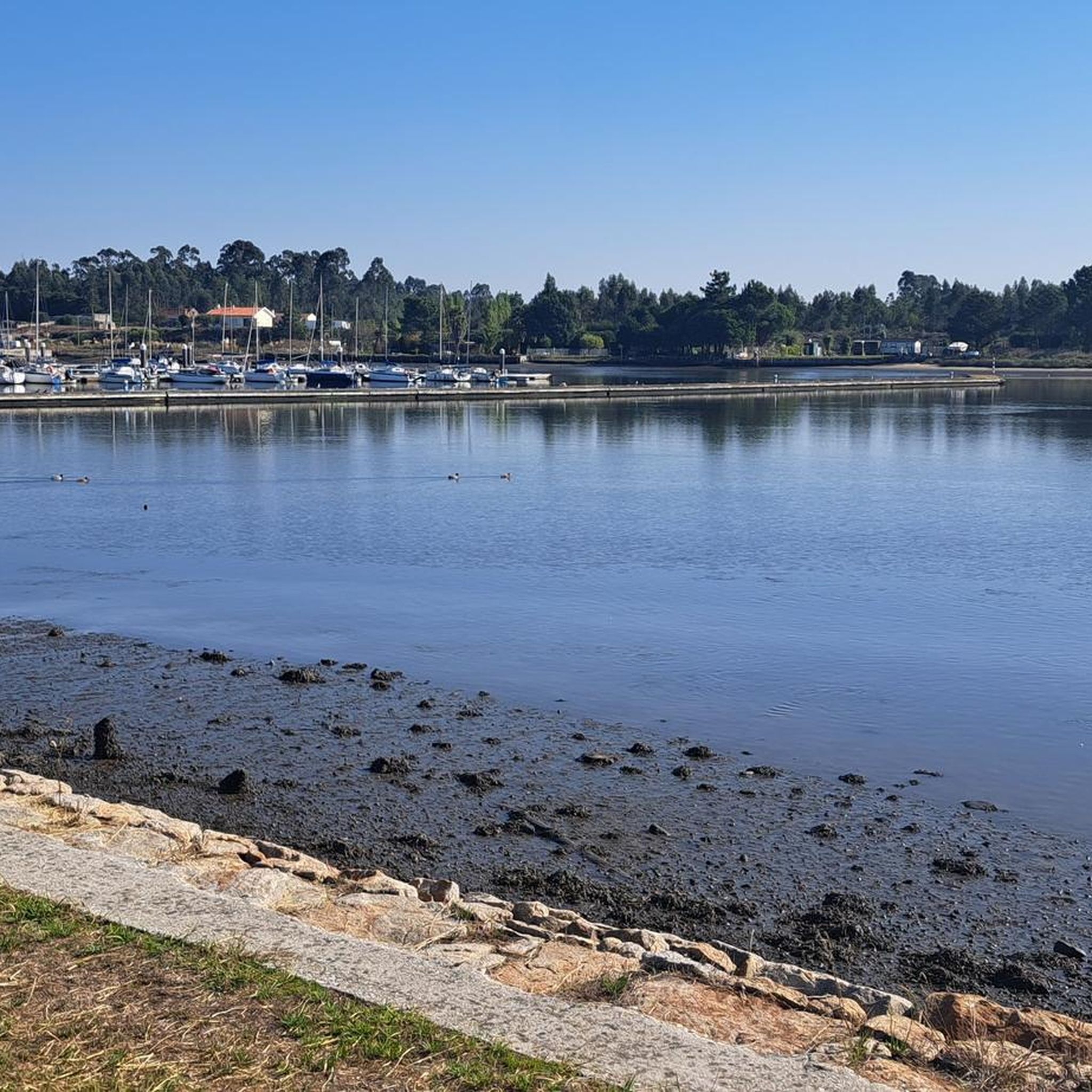
Praia do Furadouro is an urban beach (20,000 inhabitants during the bathing season) with a blue flag. It stands out for its diverse ecosystem, with natural dunes and coastal vegetation. It has infrastructure that minimizes environmental impact and provides panoramic views of the Atlantic.
2
0

Good to take a break and rest
0
0
This bridge is the one you cross by car to go to the Termas de S. Jorge (coming from the direction of Santa Maria da Feira)
0
0
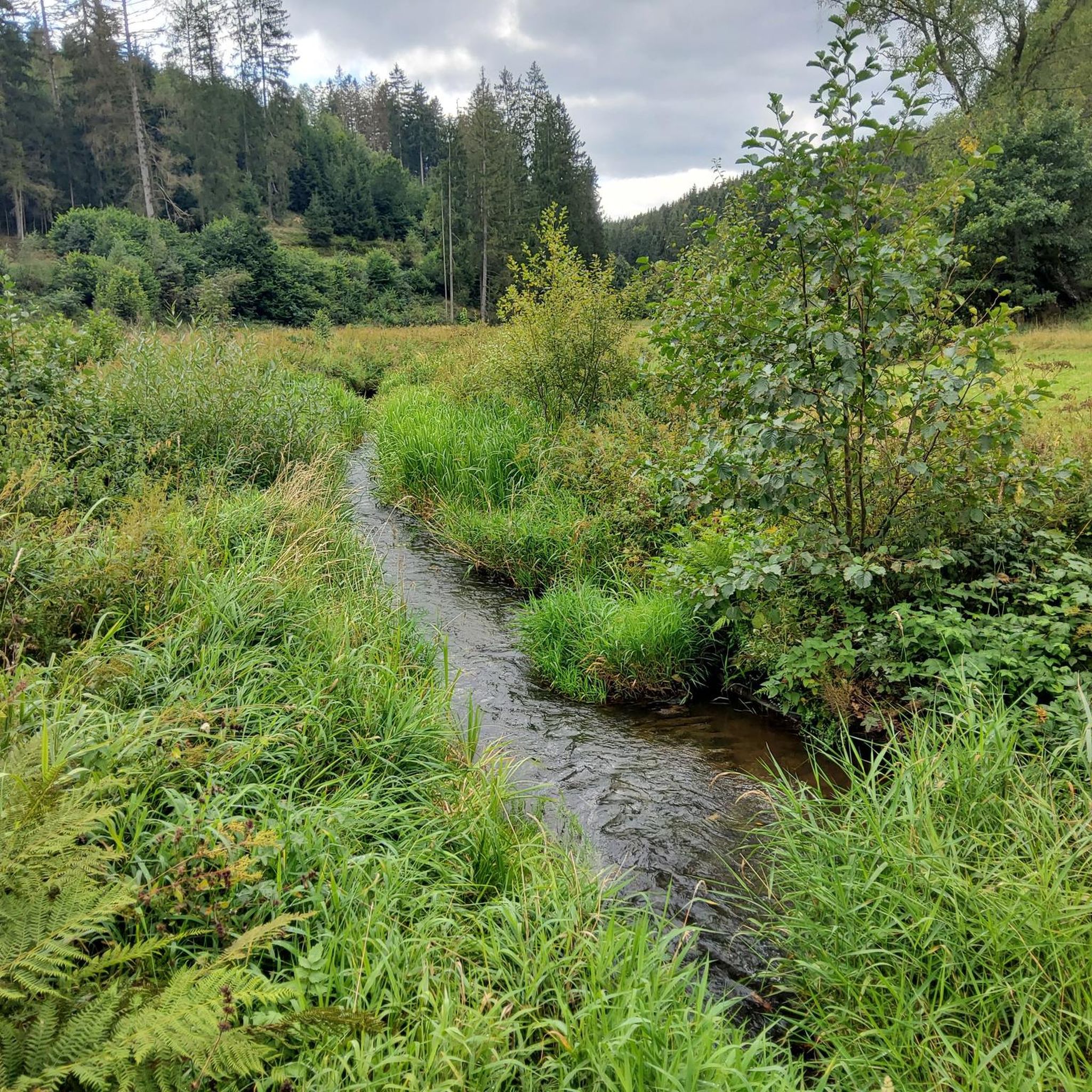
Mini-waterfall on the Uíma River. Fishing Prohibited.
0
0
This bridge is on the path that leads to the walkways.
0
0
This park has some poems written by Amália Rodrigues
0
0
Frequently Asked Questions
How many hiking trails are available around Souto?
There are over 25 hiking trails around Souto, offering a variety of experiences. The region's varied terrain, with elevations ranging from 480 to 951 meters, provides options for different ability levels.
Are there easy hiking trails suitable for beginners in Souto?
Yes, Souto offers a good selection of easy trails. Approximately half of the routes are classified as easy, making them suitable for beginners or those looking for a relaxed walk. An example is the Amália Park – Pedestrian Bridge loop from Pigeiros, which is 6 km long with minimal elevation gain.
Are there any circular walks in the Souto area?
Many of the trails around Souto are designed as loops, offering convenient circular walks. For instance, the Rio Uíma Waterfall – Ponte de Santiago loop from Caldas de São Jorge is an easy 6 km circular route that takes you through areas with water features.
What kind of terrain can I expect on hikes around Souto?
Hiking around Souto features varied terrain, including ridges, valleys, and areas with water features. The region has significant elevation changes, ranging from 480 to 951 meters, which means you can find both relatively flat paths and routes with more challenging ascents and descents.
Are there any trails with waterfalls or water features near Souto?
Yes, the broader vicinity of Souto is known for its water features. You can explore trails that pass by waterfalls, such as the Rio Uíma Waterfall – Ponte de Santiago loop from Caldas de São Jorge. The region research also mentions Cascata do Penedo Furado, suggesting picturesque cascade-adjacent trails.
What do other hikers say about the trails in Souto?
The trails in Souto are highly regarded by the komoot community, with an average rating of 4.6 stars from over 40 reviews. Hikers often praise the varied terrain and the opportunities to explore both ridges and valleys.
Are there any coastal hiking options near Souto?
While Souto itself is inland, the wider region offers coastal hiking experiences. For example, the Furadouro Church – Praia do Furadouro loop from Ovar is a moderate 9 km path that provides scenic coastal views.
Are there any long-distance hiking options around Souto?
For those seeking longer routes, the area offers trails that extend further. The Silvalde Beach – Paramos Beach loop from Cortegaça is a moderate 18.4 km hike, providing a more extended outdoor experience.
What are some interesting places to explore near Souto?
Beyond the trails, the region around Souto offers several points of interest. You can visit the Ovar Canal 🌊 Aveiro Lagoon or the Barrinha de Esmoriz Nature Reserve for natural beauty. The Ovar Town Centre also provides a cultural stop.
Are there any forest trails or natural reserves to hike through?
Yes, the area includes natural reserves and forest trails. You can explore the Pine sapping - Forest Trail or the Dune Forest of Ovar, which offer opportunities to hike through wooded landscapes.
Are there any trails suitable for families with children?
Many of the easy and moderate trails around Souto are suitable for families. Routes with lower elevation gain and shorter distances, such as the Wooden Platform – Rio Cáster Park loop from Santa Maria da Feira (3.5 km, easy), are great options for a family outing.
Most popular routes around Souto
Most popular attractions around Souto

Get inspired with the komoot mobile app


Explore more
Browse the best Hikes in other regions.
