The best cycling routes around Pinheiro Da Bemposta
4.4
(20)
380
riders
40
rides
Touring cycling routes around Pinheiro Da Bemposta are characterized by a relatively flat topography, situated between the Antuã and Caima rivers in Portugal's Aveiro region. The area features diverse landscapes, including river valleys, lush forests, and the expansive Ria de Aveiro lagoon with its wetlands. Dedicated cycling infrastructure, such as the Ecopista do Vouga, utilizes former railway lines, offering varied terrain for cyclists.
Best touring cycling routes around Pinheiro Da Bemposta
- The most popular touring cycling route is Ascent of…
Last updated: July 1, 2026
23
riders
59.6km
04:22
1,320m
1,320m
Hard bike ride. Very good fitness required. Mostly paved surfaces. Suitable for all skill levels.
2
riders
68.2km
04:51
1,210m
1,210m
This difficult 42.4-mile touring cycling route on the Ecopista do Vouga offers varied terrain and historical sights from Estarreja.

Sign up for free
4.0
(7)
56
riders
52.1km
04:17
110m
110m
Moderate bike ride. Good fitness required. Mostly paved surfaces. Suitable for all skill levels.
4.3
(3)
31
riders
37.0km
02:16
60m
60m
Moderate bike ride. Good fitness required. Mostly paved surfaces. Suitable for all skill levels.
4.8
(4)
28
riders
64.6km
03:40
90m
90m
Moderate bike ride. Good fitness required. Mostly paved surfaces. Suitable for all skill levels.
Get access to more routes and recommendations from other explorers.
Sign up for free
Already have an account?
Our route recommendations are based on thousands of hikes, rides, and runs completed by other people on komoot.
Start today with a free account
Your next adventure awaits.
Login or Signup
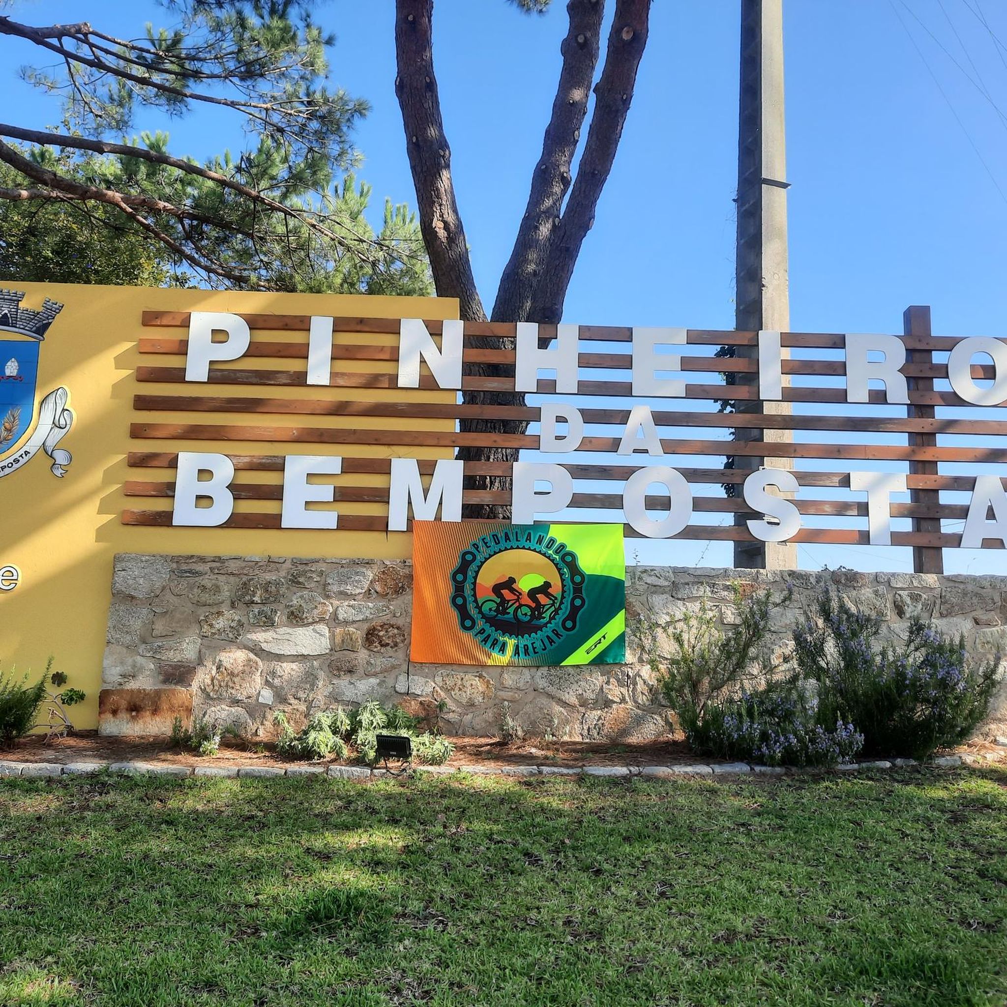
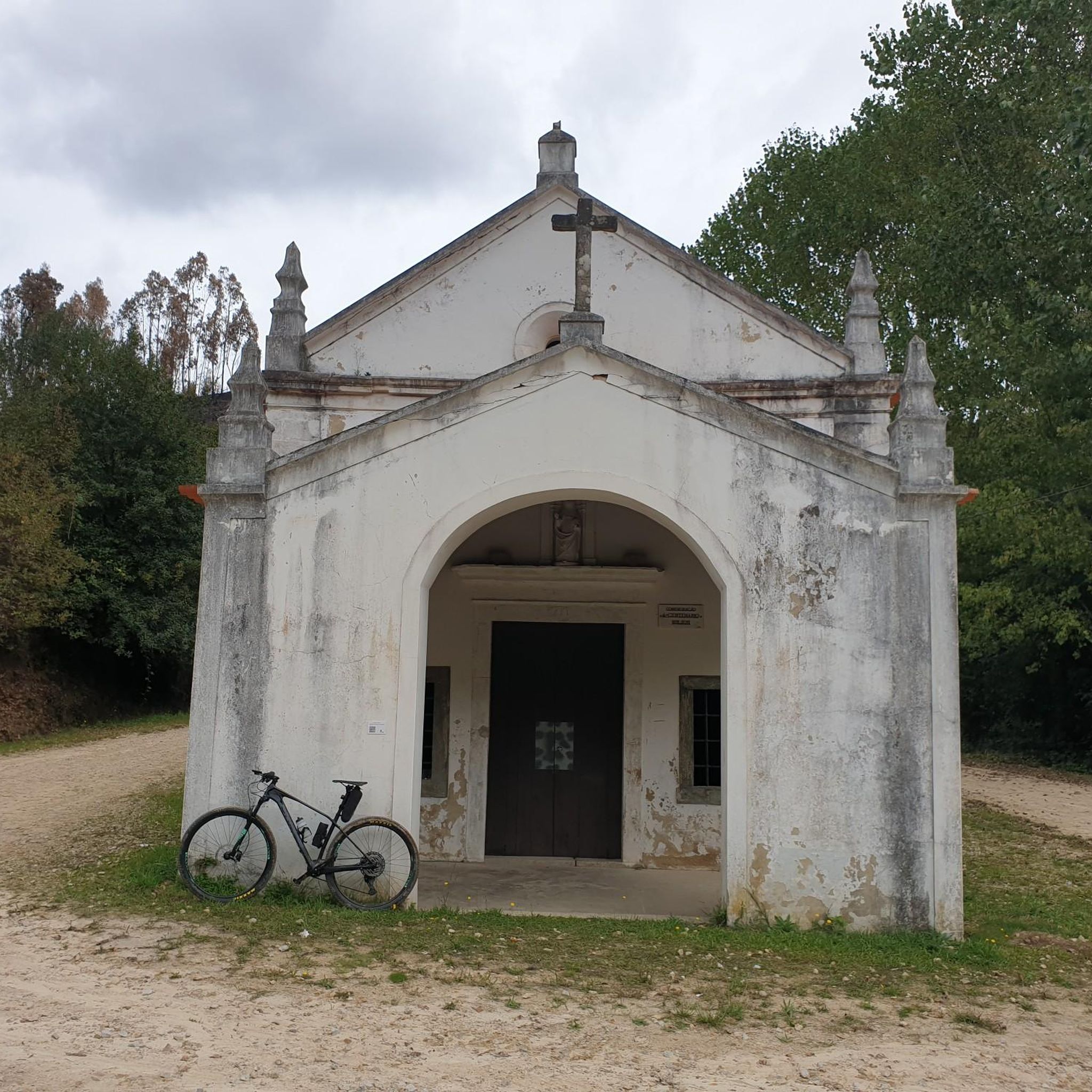

Tips from the Community

Very beautiful place. To rest a little.
1
0
Spectacular view over the river.
1
0

Observation tower
0
0

Very beautiful, but be careful: paths can flood at high tide. You'll then have to stand in knee-deep water for a few meters with your bike.
0
0

On this avenue you can have a good snack!!
0
0

The municipality of Albergaria-a-Velha has an area of 158.830 km², subdivided into six parishes. The municipality is bordered to the north by the municipalities of Estarreja and Oliveira de Azeméis, to the east by Sever do Vouga, to the southeast by Águeda, to the southwest by Aveiro, and to the northwest, through a channel of the Ria de Aveiro, by Murtosa.
2
0

The boats are already very colorful, but you don't have to go here just to see them.
9
1
Frequently Asked Questions
How many touring cycling routes are available around Pinheiro Da Bemposta?
There are over 40 touring cycling routes around Pinheiro Da Bemposta. These routes cater to various skill levels, with a good mix of moderate and challenging options.
Are there any easy touring cycling routes suitable for beginners or families?
Yes, while many routes are moderate to difficult, there are a couple of easier touring cycling routes available. The region's generally flat topography, especially near the rivers and the Ria de Aveiro, makes it suitable for more relaxed rides.
Can I find routes that explore the Ria de Aveiro lagoon?
Absolutely. The Ria de Aveiro is a significant feature of the region. You can explore its unique ecosystem, wetlands, and shorelines on routes like the Great Route of Ria de Aveiro – Boardwalk in Ria de Aveiro loop from Estarreja, which is a moderate 52.9 km trail. Another option is the Cais da Bestida – View of Ria de Aveiro loop from Estarreja, offering views of the lagoon over 37.1 km.
Are there any routes that follow old railway lines?
Yes, the Ecopista do Vouga is a popular converted railway line. You can experience it on routes such as the Estarreja and Vouga Valley Ecotrail Loop, a challenging 68.2 km path that offers varied terrain and scenic views along the Vouga Valley.
What kind of terrain can I expect on touring cycling routes in Pinheiro Da Bemposta?
The terrain varies significantly. While the region is generally characterized by a relatively flat topography between the Antuã and Caima rivers, you'll also find routes with significant elevation gain, especially when heading towards areas like Pico do Gralheiro. Routes along the Ria de Aveiro tend to be flatter, while those exploring river valleys and forests can include more varied surfaces and gradients.
Are there any circular touring cycling routes in the area?
Yes, many routes are designed as loops, allowing you to start and finish in the same location. An example is the challenging Ascent of Pico do Gralheiro from Oliveira de Azeméis — circular route, which covers 59.6 km with significant elevation.
What natural features or landmarks can I see along the cycling routes?
The region is rich in natural beauty and historical sites. You might encounter the stunning Cabreia Waterfall, lush forests, and impressive rock formations along river valleys. The Ria de Aveiro offers unique wetlands and opportunities to observe wildlife. Other landmarks include the Igreja Matriz de Oliveira de Azeméis and the Statue of Queen D. Teresa in Albergaria-a-Velha.
What do other touring cyclists say about the routes in Pinheiro Da Bemposta?
The touring cycling routes in Pinheiro Da Bemposta are highly rated by the komoot community, with an average score of 4.5 stars from over 20 reviews. Cyclists often praise the diverse landscapes, from riverine paths to the expansive Aveiro Lagoon, and the dedicated cycling infrastructure like the Ecopista do Vouga.
Is it possible to combine cycling with a visit to a beach or lagoon area?
Yes, the region's proximity to the Ria de Aveiro means you can easily combine cycling with visits to lagoon beaches. For instance, the Cais da Bestida – Lagoon beach ⛱️ loop from Estarreja is a moderate 65 km route that takes you to a lagoon beach.
What is the best time of year for touring cycling in Pinheiro Da Bemposta?
The region generally offers pleasant conditions for cycling. Spring and autumn are often ideal, with milder temperatures and less rainfall. Summer can be warm, especially inland, but coastal and lagoon areas benefit from sea breezes. Always check the local weather forecast before heading out.
Are there any routes that are particularly challenging for experienced touring cyclists?
Yes, for experienced touring cyclists seeking a challenge, routes with significant elevation gain are available. The Ascent of Pico do Gralheiro from Oliveira de Azeméis — circular route, for example, is classified as difficult and features over 1300 meters of elevation gain.
Can I reach the cycling routes using public transport?
Pinheiro Da Bemposta is located within the Aveiro region, which has public transport options. While specific route access points might require local knowledge, towns like Estarreja, which serve as starting points for several routes, are generally accessible by public transport. It's advisable to check local bus or train schedules for connections to your desired starting point.
Most popular attractions around Pinheiro Da Bemposta

Get inspired with the komoot mobile app


Explore more
Browse the best Cycling routes in other regions.
