The 12 Most Amazing Peaks around Wiernsheim
Mountain peaks near Wiernsheim are characterized by wooded and karstified hills within the Heckengäu region of Baden-Württemberg, Germany. Elevations within the municipal area range from 274 meters to 464 meters. While not traditional mountain peaks, these elevated areas offer scenic views and recreational opportunities through their natural beauty and tranquil hiking trails. The landscape features rolling hills, forests, and valleys, providing a distinct natural experience.
Best mountain peaks around Wiernsheim
- The most popular mountain peaks is Hohe Warte (was dismantled)…
Last updated: June 29, 2026
Kaiserstein Hemmingen
Highlight • Monument
Translated by Google •
Tip by

Feuerbacher Heide-Dickenberg Nature Reserve
Highlight • Natural Monument
Translated by Google •
Tip by

Sign up now to discover places like this
Get recommendations on the best single tracks, peaks, & plenty of other exciting outdoor places.
Sign up for free
Alte Burg Hillfort (379 m)
Highlight • Historical Site
Translated by Google •
Tip by

Highest Point of Hohenwart (544 m)
Highlight • Summit
Translated by Google •
Tip by

Kaltenberg Summit
Highlight • Summit
The bushes and trees have grown quite high, so that there is only a small viewing window :-(
Translated by Google •
Tip by

Sign up for free to discover even more peaks around Wiernsheim.
Sign up for free
Already have an account?
Start today with a free account
Your next adventure awaits.
Login or Signup
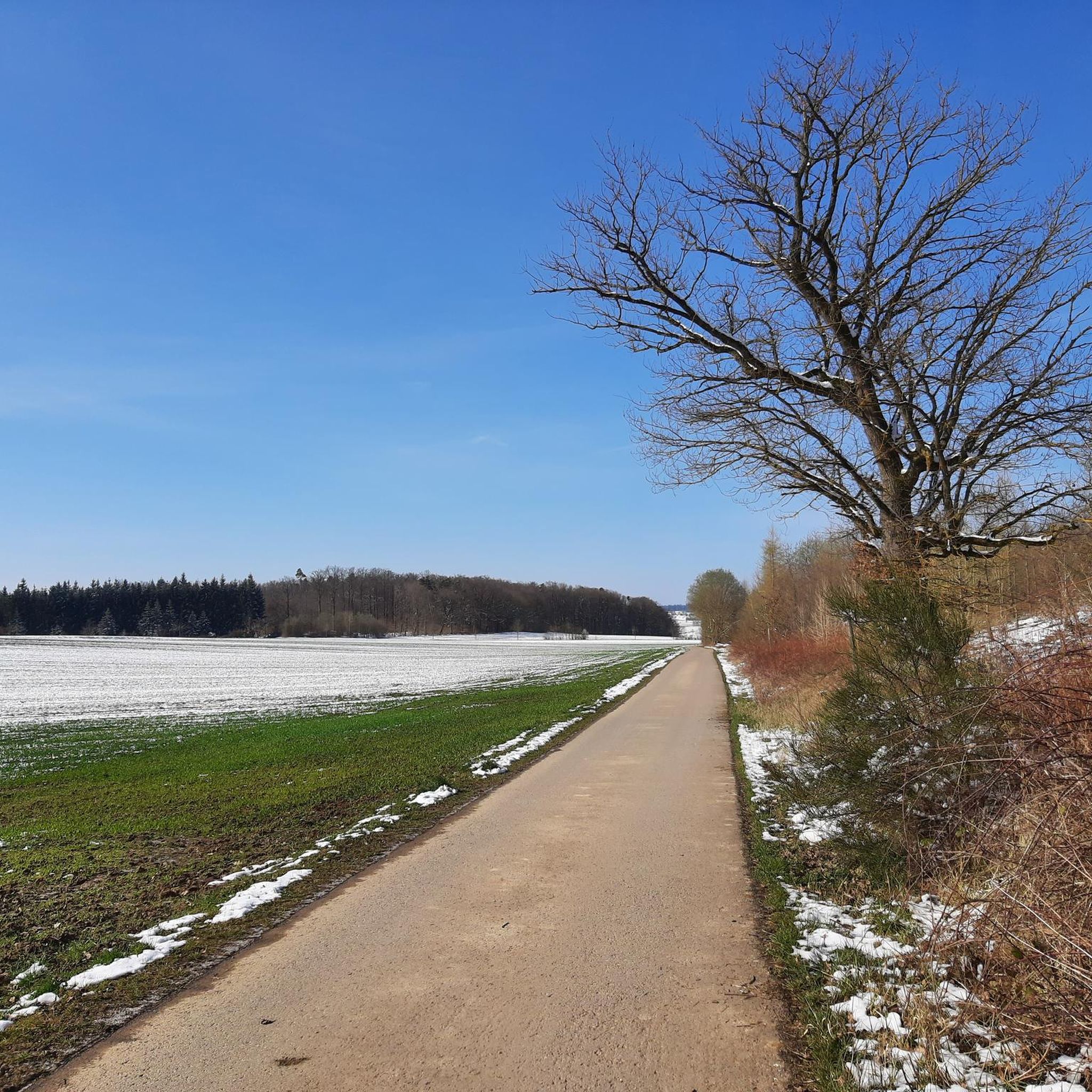
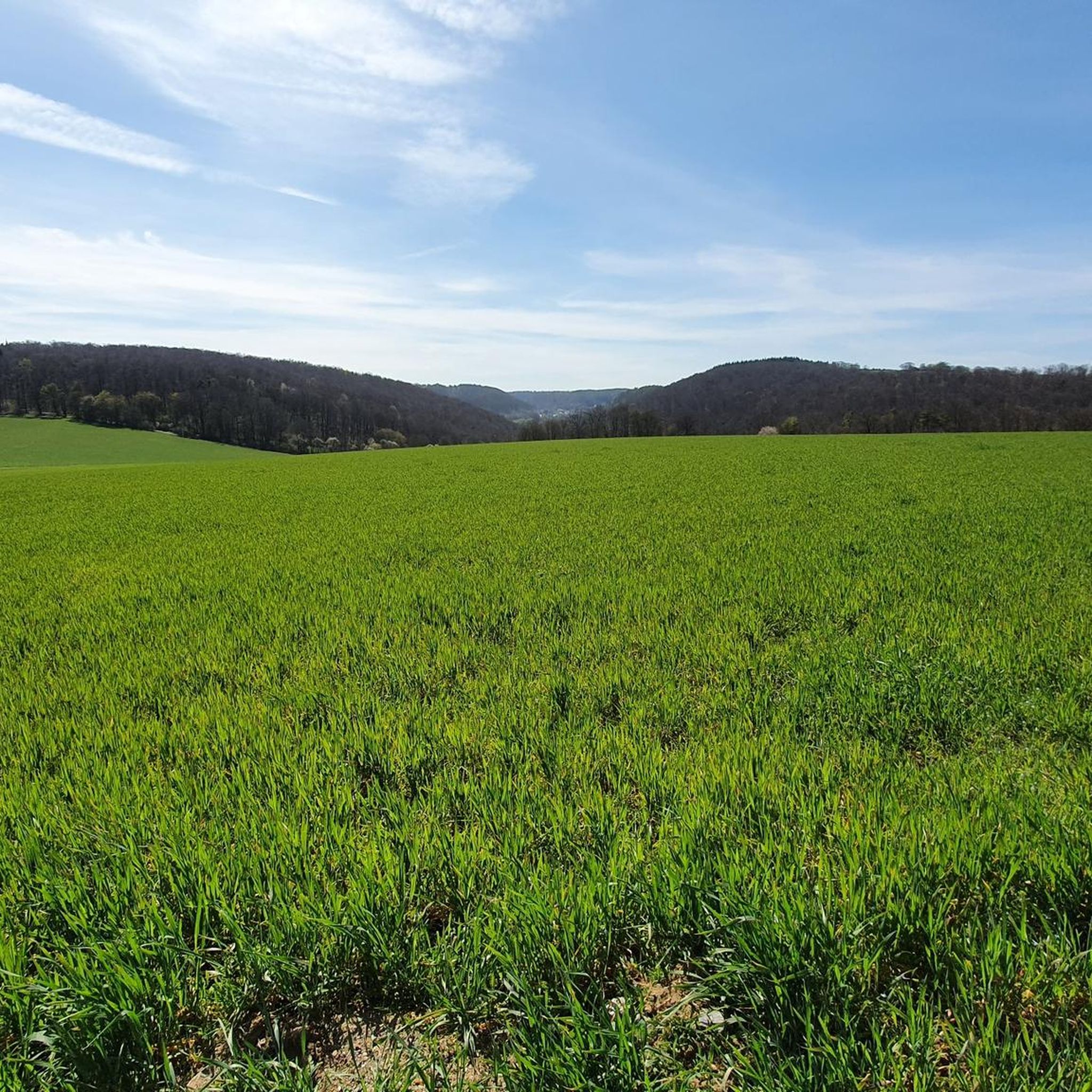
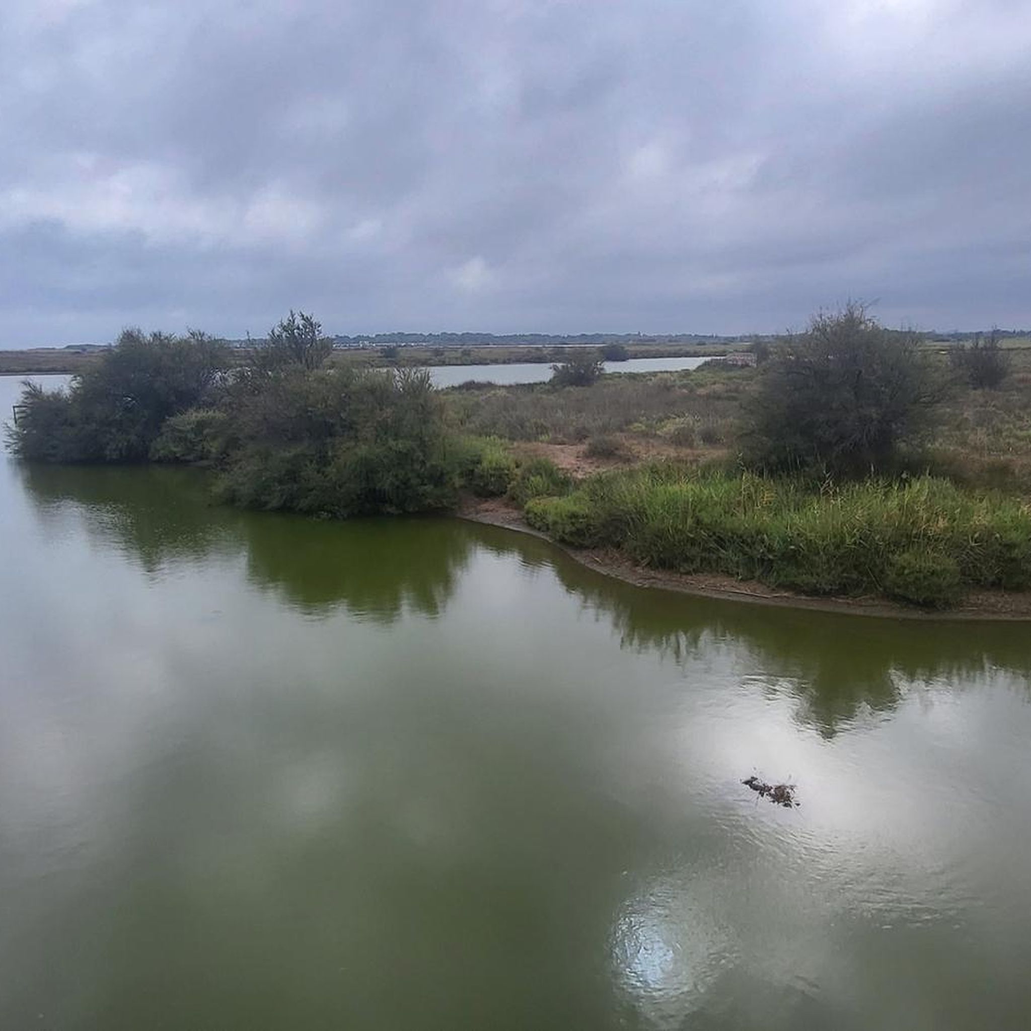
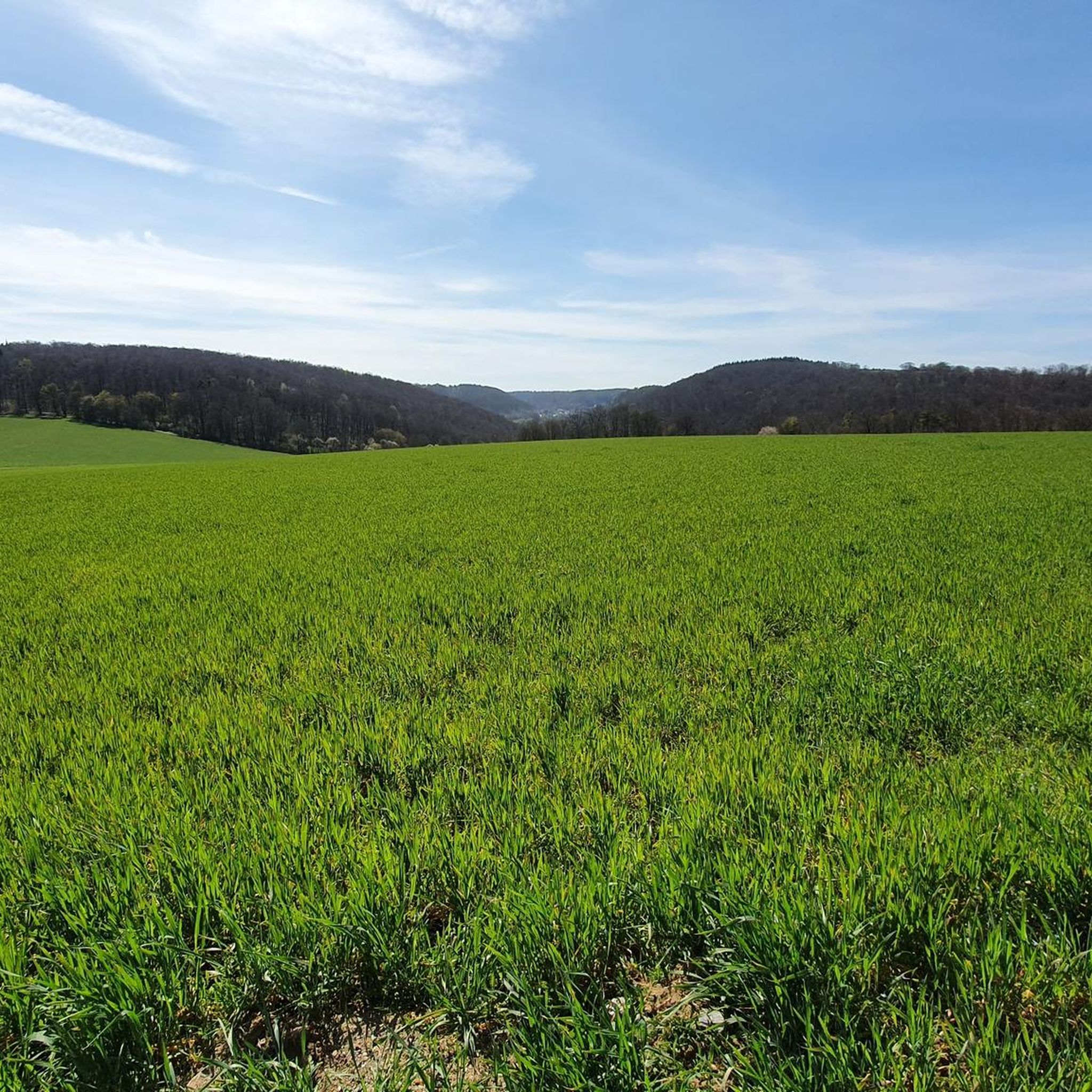
Tips from the Community

Rubble hill artificially created from debris of World War II
0
0

From this location you have a great panoramic view. In the evening, when the lights of the surrounding towns come on, a special atmosphere is created.
30
1
In 1885, Kaiser Wilhelm I is said to have observed one of his troops’ exercises at this location. So be it. 😉
34
1

From this spot (at the time height 346), where the so-called "Kaiserstein" now stands, the 88-year-old Kaiser Wilhelm I and his entourage observed the maneuvers in the surrounding fields on September 22, 1885. On the front there was an embedded relief image of the Kaiser. The monument was surrounded by trees, including a Kaiser Wilhelm linden tree. The monument itself was covered with ferns, moss, ivy and cornflowers.
14
1

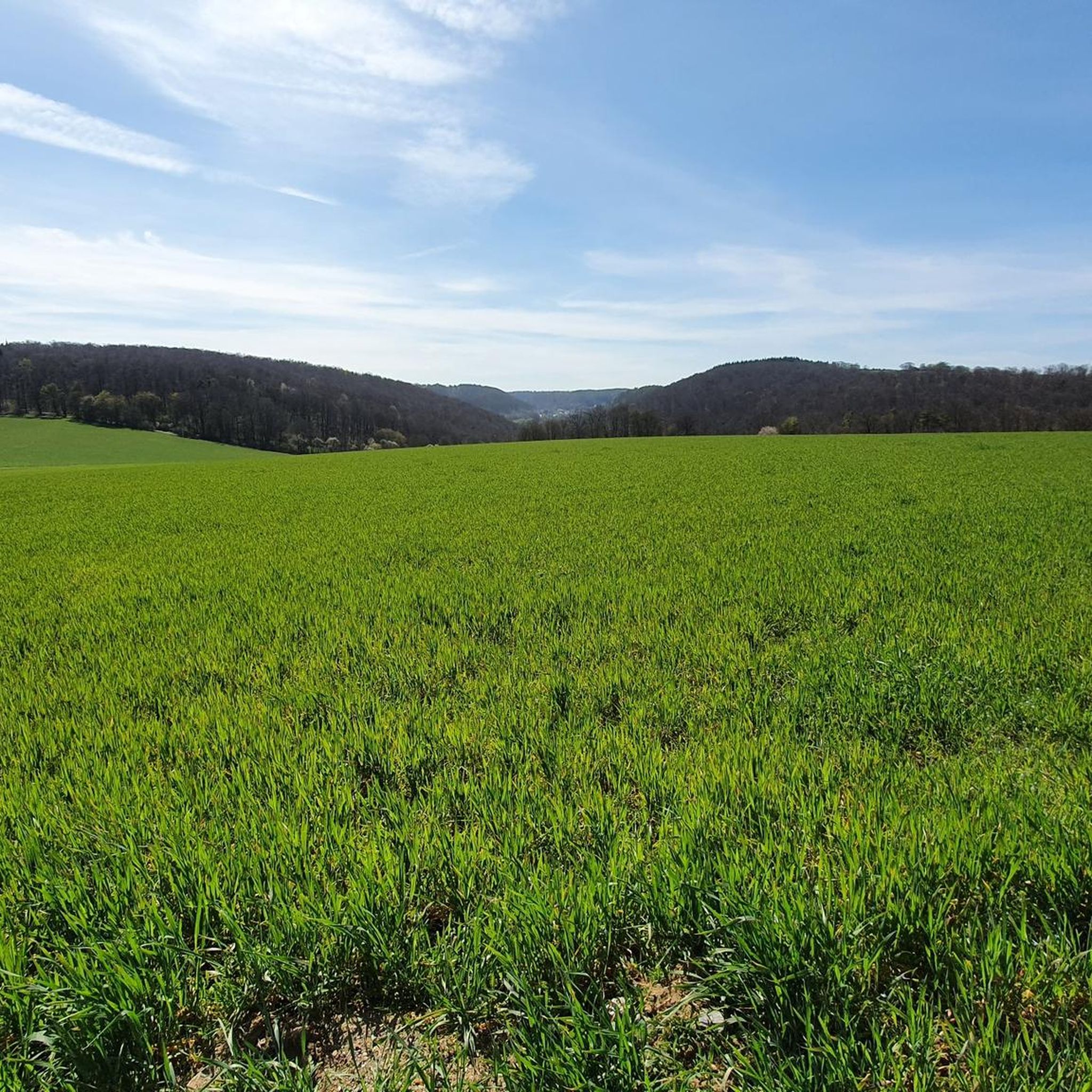
It's simply wonderful here, from Weissach to Malmsheim there are always such wonderful plateaus
5
2

The small elevation is no longer relevant as a viewing point due to the tall trees.
2
0

One of the highest points in Hohenwart at 544 meters above sea level.
1
1
The climb to the summit is not worth it, bad paths and absolutely no more visibility
2
2
Frequently Asked Questions
What kind of elevated areas can I expect to find around Wiernsheim?
Wiernsheim is located in the Heckengäu region, characterized by wooded and karstified hills rather than traditional towering mountain peaks. These elevated areas offer scenic views and recreational opportunities through tranquil hiking trails. Elevations within the municipal area range from 274 meters to 464 meters, with nearby points like Hohenwart reaching 544 meters.
Are there any notable viewpoints among the elevated areas near Wiernsheim?
Yes, several spots offer expansive views. The Kaiserstein Hemmingen provides a great panoramic view, especially in the evening. The Feuerbacher Heide-Dickenberg Nature Reserve also features beautiful juniper heathland with some views. While the Hohe Warte was a significant viewpoint, it is currently closed until September/October 2025.
What historical sites are located on elevated ground near Wiernsheim?
You can explore several historical sites on elevated ground. The Celtic grave Hochdorf is a significant archaeological monument where a mighty burial mound was reconstructed to its original size. Another is the Kaiserstein Hemmingen, a monument commemorating Kaiser Wilhelm I observing military exercises in 1885. The Alte Burg Hillfort (379 m) also holds historical significance, with remnants of Celtic and medieval use.
Are there family-friendly elevated spots or trails around Wiernsheim?
Many of the elevated areas and their surrounding trails are suitable for families. Highlights like the Celtic grave Hochdorf, Kaiserstein Hemmingen, and Feuerbacher Heide-Dickenberg Nature Reserve are categorized as family-friendly. The reconstructed burial mound at Hochdorf, for instance, offers an engaging historical experience for all ages.
What outdoor activities can I do near Wiernsheim's high points?
The region around Wiernsheim is excellent for various outdoor activities. You can find numerous routes for hiking, gravel biking, and road cycling. For hiking, consider routes like the 'Kreuzbach valley – Arched bridge loop from Iptingen' or 'View of the Heckengäu – Wiernsheim Hill loop from Serres'. Gravel biking options include the 'Kreuzbach Weir – Strudelbach Cycle Path loop from Aurich'. Road cyclists might enjoy the 'Würmtal Scenic Road – Mönsheim Historic Town Centre loop from Mönsheim'. You can find more details on these activities in the Hiking around Wiernsheim, Gravel biking around Wiernsheim, and Road Cycling Routes around Wiernsheim guides.
What is the best time of year to visit the elevated areas around Wiernsheim?
The climate in Wiernsheim is described as mild, protected by surrounding elevations, making it suitable for outdoor activities throughout much of the year. Spring and autumn offer pleasant temperatures and beautiful scenery with blooming nature or colorful foliage. Summer is also enjoyable, especially for walks through the wooded hills. Winter hiking is possible, but check local conditions as some paths might be slippery.
Are there any challenging hikes to summits or high points in the Wiernsheim area?
While Wiernsheim doesn't have alpine-style peaks, some elevated areas offer more challenging routes. The Alte Burg Hillfort (379 m) is categorized as challenging, providing a more strenuous hike through the forest to its summit. The area around Hohenwart (544 m) also offers rewarding vistas after more challenging ascents.
What do visitors enjoy most about the elevated areas and high points around Wiernsheim?
Visitors appreciate the natural beauty, tranquil hiking trails, and the expansive views over the distinct Heckengäu landscape. The historical significance of sites like the Celtic grave Hochdorf and Kaiserstein Hemmingen also draws interest. The community has shared 517 photos and given 592 upvotes across various highlights, indicating a strong appreciation for the region's unique charm and recreational opportunities.
Can I bring my dog on trails around Wiernsheim's high points?
Generally, the natural areas and trails around Wiernsheim are dog-friendly. However, it's always recommended to keep dogs on a leash, especially in nature reserves like the Feuerbacher Heide-Dickenberg Nature Reserve, to protect wildlife and ensure a pleasant experience for all visitors. Always check local signage for specific regulations.
Are there any nature reserves or protected areas among the elevated spots?
Yes, the Feuerbacher Heide-Dickenberg Nature Reserve is a significant protected area west of Perouse. It preserves the typical, diverse Heckengäu landscape, featuring heathland, species-rich meadows, hedges, fruit tree meadows, stone ledges, and mixed forests. The heathland is maintained through sheep grazing, offering a unique ecological experience.
What is the highest point within the Wiernsheim municipality?
The highest point within the Wiernsheim municipal area is an unnamed high point in the southwest, reaching 464 meters (1,522 ft). While not a traditional mountain, it offers pleasant walks through forests and panoramic views of the surrounding countryside.
How accessible are the elevated areas around Wiernsheim by public transport?
While specific public transport routes directly to every trailhead might vary, Wiernsheim itself is connected within the Enzkreis district. Many hiking and cycling routes start from villages and towns that are accessible by local buses. It's advisable to check local public transport schedules for the most convenient options to reach your desired starting point.
Most popular routes around Wiernsheim
Most popular attractions around Wiernsheim

Get inspired with the komoot mobile app


Explore more
See even more amazing summits around Wiernsheim with these guides:
