The best walks and hikes around gmina Chodzież
4.8
(73)
622
hikers
117
hikes
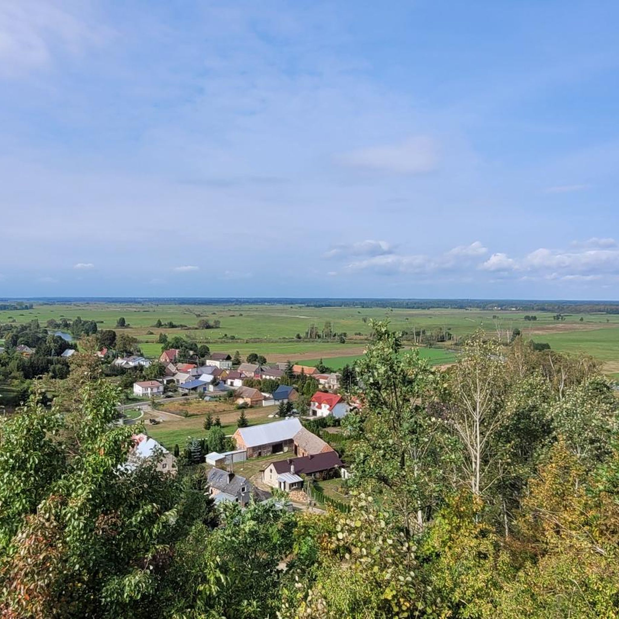
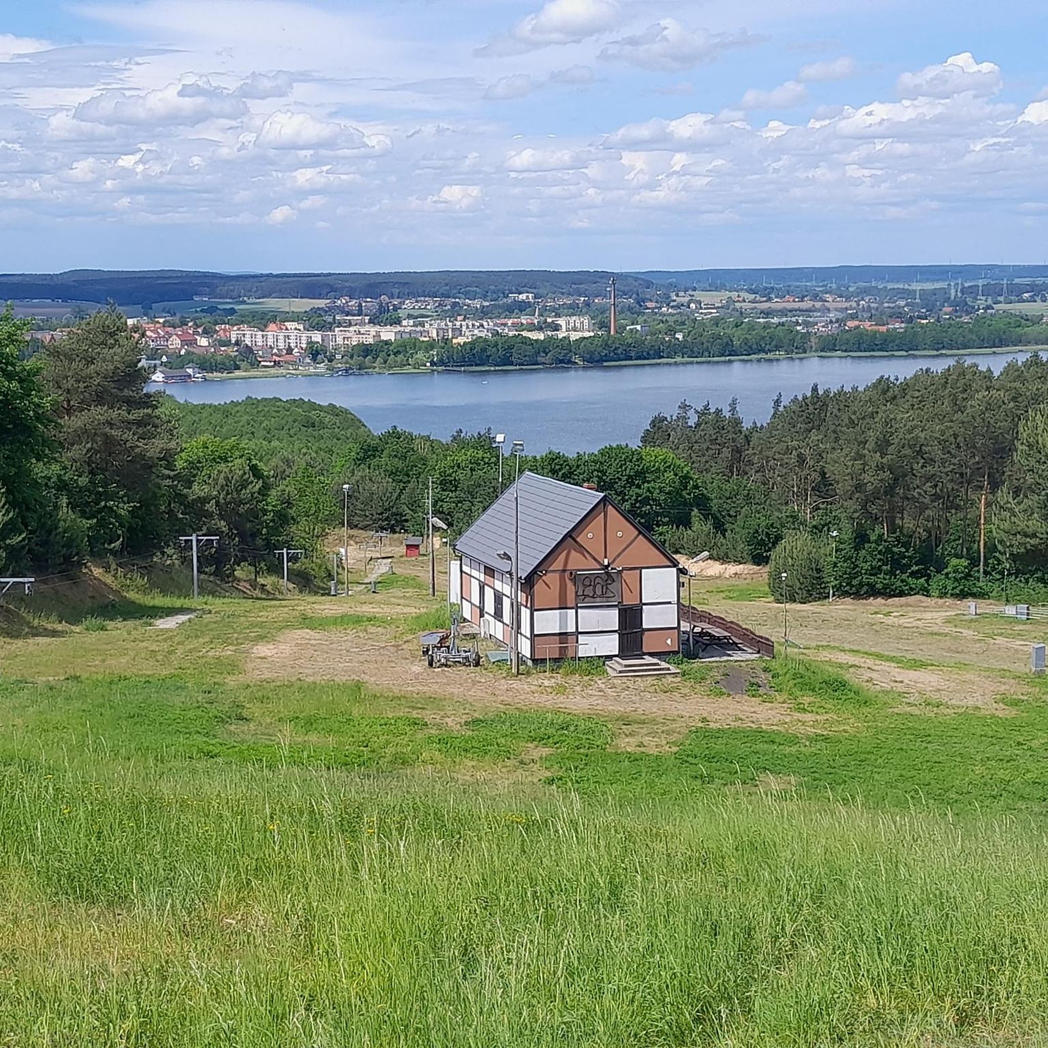
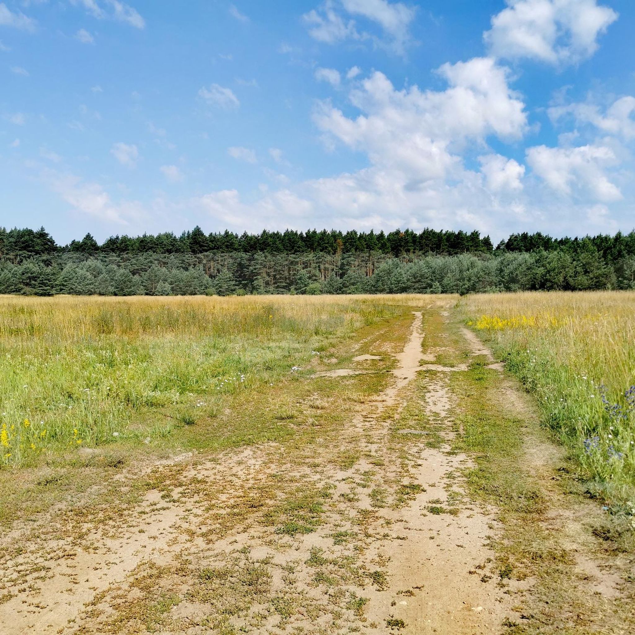
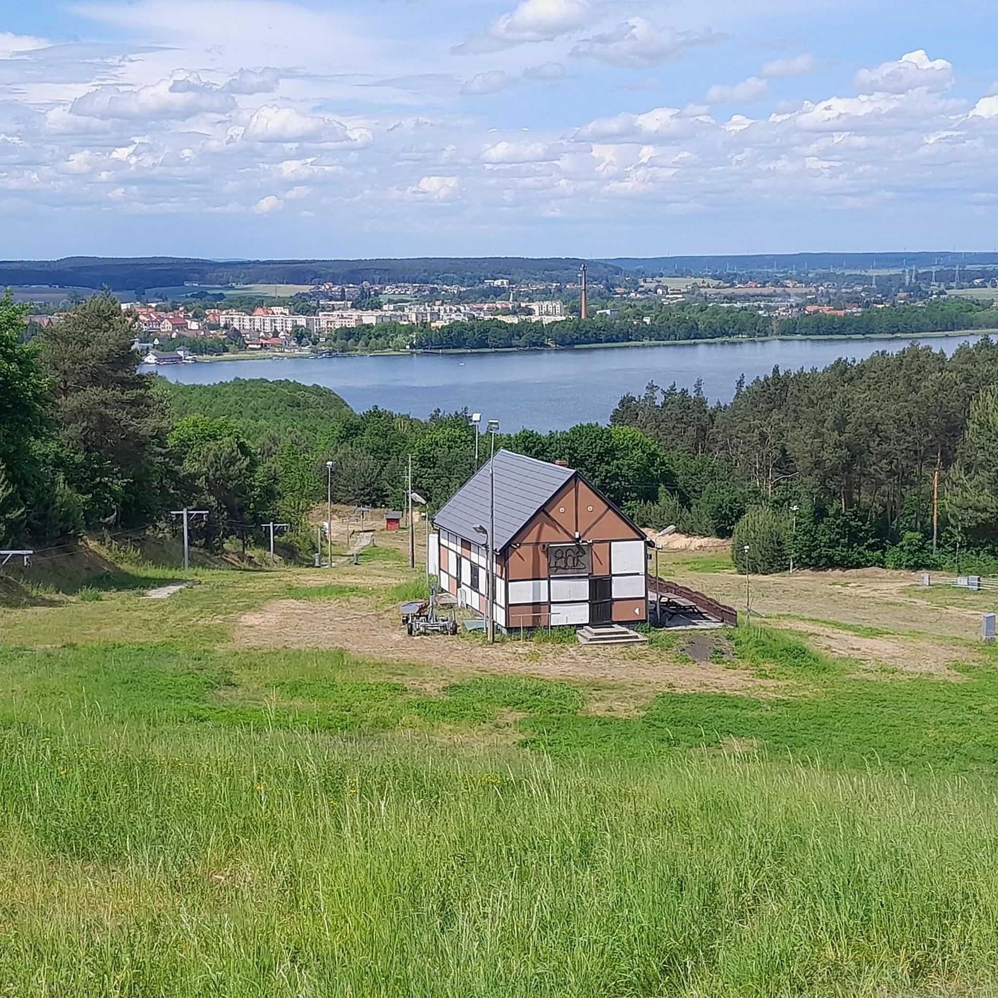
Hiking around gmina Chodzież is characterized by a diverse natural landscape, often referred to as "Chodzieska Switzerland." The region features hilly terrain, postglacial landforms, and numerous lakes nestled within expansive forests, which cover approximately 49% of the area. Prominent moraine hills, such as Gontyniec (192 meters), rise above extensive pine and mixed woodlands, which include deep valleys and ridges. The northern part of the gmina lies within the Noteć Valley, an ecological corridor with diverse ecosystems.
Best hiking trails around…
Last updated: July 10, 2026
5.0
(29)
135
hikers
6.52km
01:41
30m
30m
Easy hike. Great for any fitness level. Easily-accessible paths. Suitable for all skill levels.
5.0
(23)
122
hikers
5.83km
01:30
20m
20m
Easy hike. Great for any fitness level. Easily-accessible paths. Suitable for all skill levels.

Sign up for free
5.0
(2)
24
hikers
8.05km
02:14
140m
140m
Moderate hike. Good fitness required. Easily-accessible paths. Suitable for all skill levels.
9
hikers
8.13km
02:07
50m
50m
Moderate hike. Good fitness required. Easily-accessible paths. Suitable for all skill levels.
9
hikers
13.0km
03:31
180m
180m
Moderate hike. Good fitness required. Easily-accessible paths. Suitable for all skill levels.
Get access to more routes and recommendations from other explorers.
Sign up for free
Already have an account?
Our route recommendations are based on thousands of hikes, rides, and runs completed by other people on komoot.
Start today with a free account
Your next adventure awaits.
Login or Signup

Tips from the Community

Accessible 24 hours a day by bike or on foot
0
0

At the lake there is a good hotel with a restaurant with a lakeside terrace.
0
0
Frequently Asked Questions
What is the typical terrain like for hiking in gmina Chodzież?
Gmina Chodzież, often called "Chodzieska Switzerland," features a diverse landscape of hilly terrain, postglacial landforms, and numerous lakes nestled within expansive forests. You'll encounter prominent moraine hills like Gontyniec, deep valleys, and ridges covered with ancient beech and pine woodlands. The routes offer varied environments, from easy walks to more moderate paths with elevation changes.
Are there many hiking trails in gmina Chodzież?
Yes, there are over 100 hiking routes available in gmina Chodzież. These trails cater to various fitness levels, with a majority being easy or moderate, ensuring options for almost everyone.
What natural features can I expect to see while hiking in gmina Chodzież?
Hikers can enjoy a wealth of natural beauty, including the region's three main lakes: Lake Miejskie, Lake Karczewnik, and Lake Strzeleckie. The prominent moraine hill Gontyniec, the highest peak in northern Poland, offers panoramic views from its viewing tower. You'll also traverse extensive forests of pine and mixed woodlands, including areas with magnificent 100-year-old beech trees.
Are there any family-friendly hiking routes in gmina Chodzież?
Yes, many trails are suitable for families. For an accessible and enjoyable walk, consider the Lovers' Bridge loop from Chodzież, which is just under 4 miles (6.2 km) and takes about 1 hour 35 minutes. The region's diverse landscape ensures there are plenty of easier options for all ages.
Are there any circular hiking routes in gmina Chodzież?
Yes, gmina Chodzież offers several excellent circular routes. A popular choice is the Steep Forest Path – Winding Forest Trail loop from Chodzież, a moderate 5-mile (8 km) path. Another option is the Strzeleckie Lake – Rest Area by the Lake loop from Oleśniczka, which is longer at 8.2 miles (13.1 km) and takes about 3 hours 36 minutes.
What is the best time of year to go hiking in gmina Chodzież?
The region is beautiful throughout the warmer months, with spring offering lush greenery and autumn showcasing vibrant fall foliage. The extensive forests are also known for an abundance of mushrooms and forest fruits, making late summer and early autumn particularly appealing for foraging enthusiasts.
What do other hikers enjoy most about the trails in gmina Chodzież?
The trails in gmina Chodzież are highly rated by the komoot community, with an average score of 4.7 stars from over 60 reviews. Hikers frequently praise the diverse natural landscape, the scenic lakes, and the well-maintained paths through the extensive forests, often highlighting the peaceful atmosphere and beautiful viewpoints.
Are there any interesting landmarks or attractions near the hiking trails?
Yes, several points of interest can be explored. You might encounter the Chodzież Market Square and St. Florian's Church in the town center. For a unique experience, the Singletrack Gontyniec – 3 Maja Park offers a different kind of outdoor activity. The region's lakes, especially Lake Miejskie, are also hubs for various water sports.
Are there any challenging hikes in gmina Chodzież?
While most trails are easy to moderate, there are options for those seeking a bit more challenge. For example, the Trygława Wooden Sculpture – Winding Forest Trail loop from Chodzież is a moderate 8.1-mile (13 km) route with notable elevation changes, taking over 3.5 hours to complete.
Are dogs allowed on the hiking trails in gmina Chodzież?
Generally, dogs are welcome on hiking trails in gmina Chodzież, especially in the extensive forest areas. However, it's always advisable to keep them on a leash, particularly in nature reserves or areas with wildlife, and to respect local regulations regarding pets.
What are the typical distances and durations for hikes in gmina Chodzież?
Hikes in gmina Chodzież vary significantly. You can find shorter, easy walks like the Lovers' Bridge loop from Chodzież, which is 3.9 miles (6.2 km) and takes about 1 hour 35 minutes. Longer, moderate routes such as the Rest Area by the Lake – Strzeleckie Lake loop from Chodzież cover around 5 miles (8.1 km) and can take over 2 hours.
Most popular routes around gmina Chodzież
Most popular attractions around gmina Chodzież

Get inspired with the komoot mobile app


Explore more
Browse the best Hikes in other regions.
