The best running trails around gmina Węgierska Górka
4.5
(3)
1,174
runners
42
runs
Jogging around gmina Węgierska Górka offers diverse terrain within the Żywiec Beskids, characterized by its mountainous landscape and dense forests. The region features significant peaks such as Skrzyczne and Barania Góra, providing varied elevation for runners. The Soła River flows through the area, with modernized boulevards offering accessible riverside running paths. This combination of natural features creates a dynamic environment for physical activity.
Best jogging routes around gmina Węgierska Górka
- The most popular jogging route is Loop Żabnica - Romanka - Rysianka (along the black, yellow and blue trails): Zywiecki Landscape Park, a 11.9 miles (19.2 km) trail that takes 2 hours 42 minutes to complete. This difficult route ascends through the Żywiecki Landscape Park, offering significant elevation gain.
- Another top favourite among local runners is Barania Góra loop from Węgierska Górka, a difficult 16.5 miles (26.5 km) path. This route features substantial climbs towards Barania Góra, providing panoramic views of the surrounding Beskids.
- Local runners also love the Romanka – Hala Rysianka loop from Węgierska Górka, a 21.8 miles (35.0 km) trail leading through mountainous terrain and past the Rysianka Mountain Hut, often completed in about 4 hours 47 minutes.
- Jogging around gmina Węgierska Górka is defined by mountainous terrain, dense forests, and the Soła River. The network offers options for different ability levels, from easier riverside paths to challenging mountain ascents.
- The routes in gmina Węgierska Górka are highly rated by the komoot community with an average score of 4.7 stars from 4 reviews. More than 1000 runners have used komoot to explore gmina Węgierska Górka's varied terrain.
Last updated: July 16, 2026
75
runners
Hard run. Very good fitness required. Mostly paved surfaces. Suitable for all skill levels.
4.0
(2)
231
runners
26.5km
03:50
1,200m
1,200m
Hard run. Very good fitness required. Mostly accessible paths. Some sure footedness required.

Sign up for free
46
runners
34.2km
04:34
1,220m
1,220m
Hard run. Very good fitness required. Mostly accessible paths. Some sure footedness required.
44
runners
12.6km
01:44
520m
520m
Hard run. Very good fitness required. Mostly paved surfaces. Suitable for all skill levels.
16
runners
31.9km
04:36
1,460m
1,460m
Hard run. Very good fitness required. Mostly accessible paths. Some sure footedness required.
Get access to more routes and recommendations from other explorers.
Sign up for free
Already have an account?
Our route recommendations are based on thousands of hikes, rides, and runs completed by other people on komoot.
Start today with a free account
Your next adventure awaits.
Login or Signup
Popular around gmina Węgierska Górka

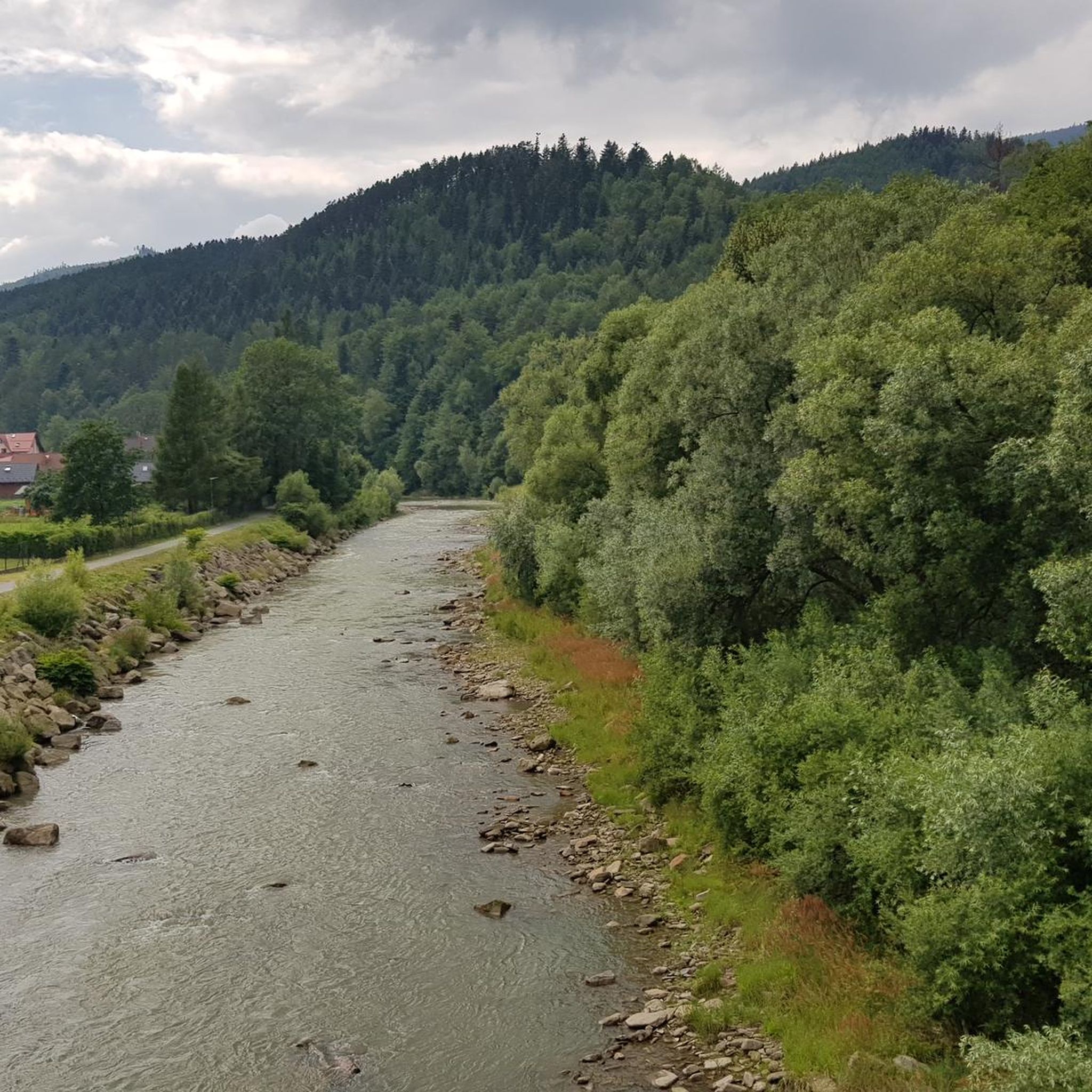
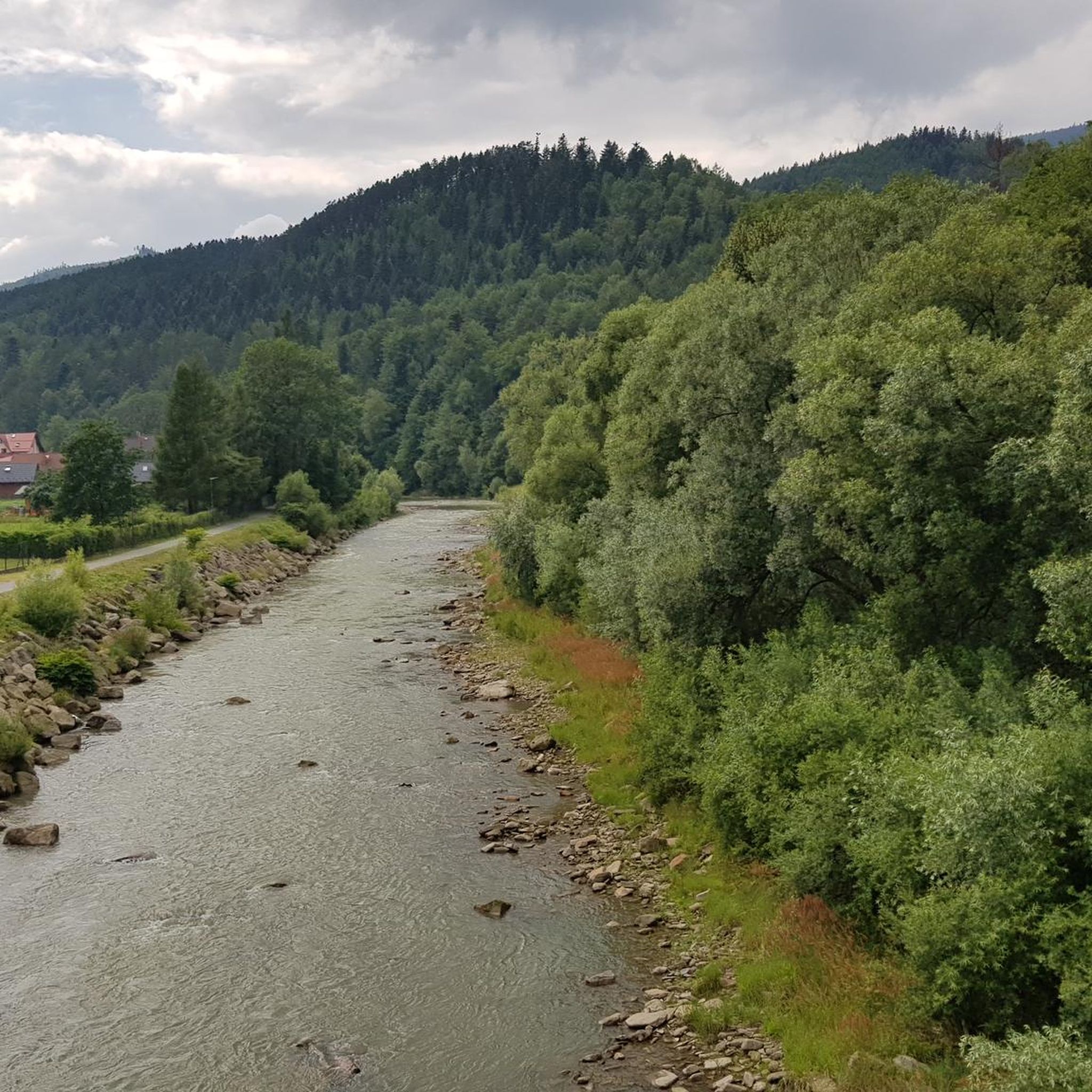
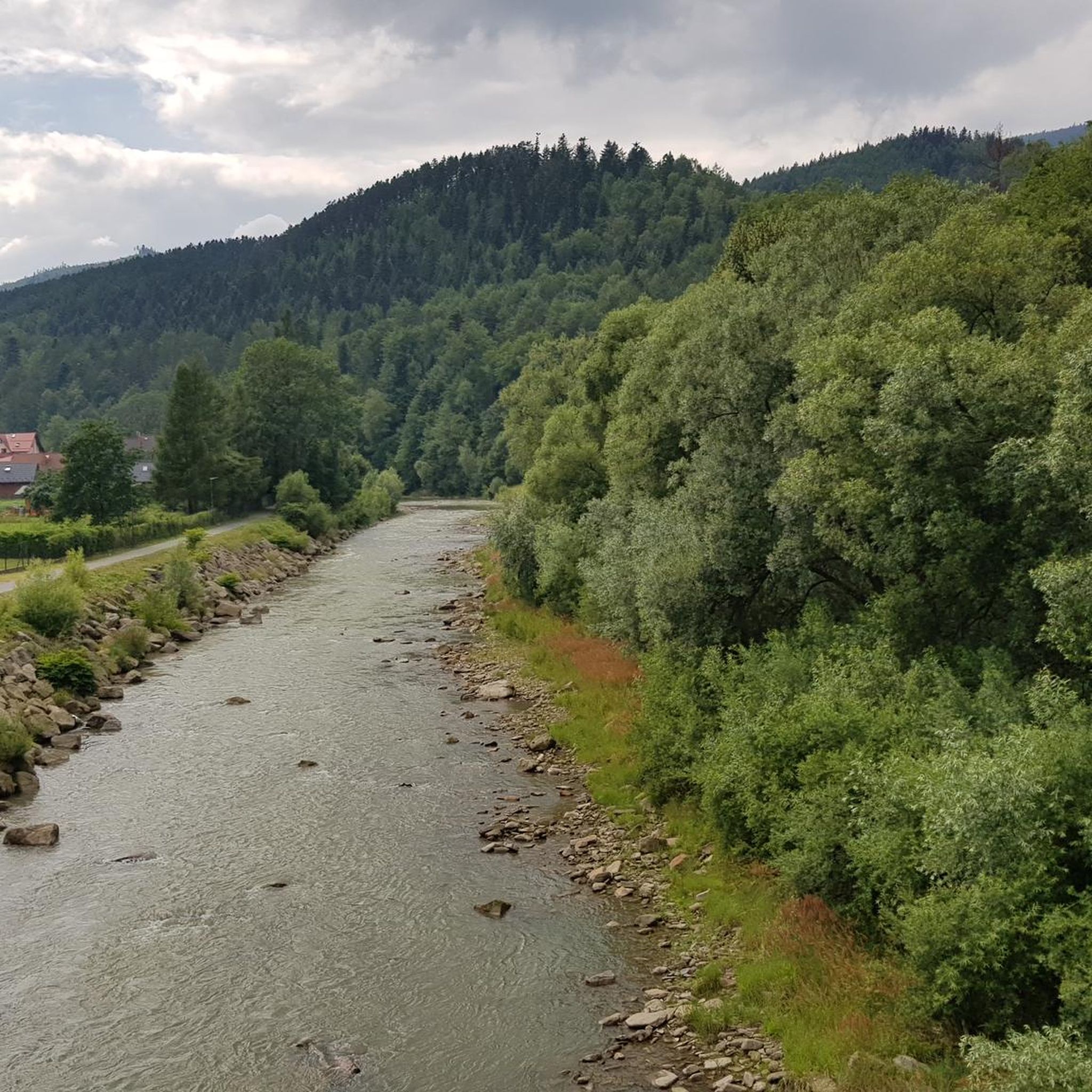
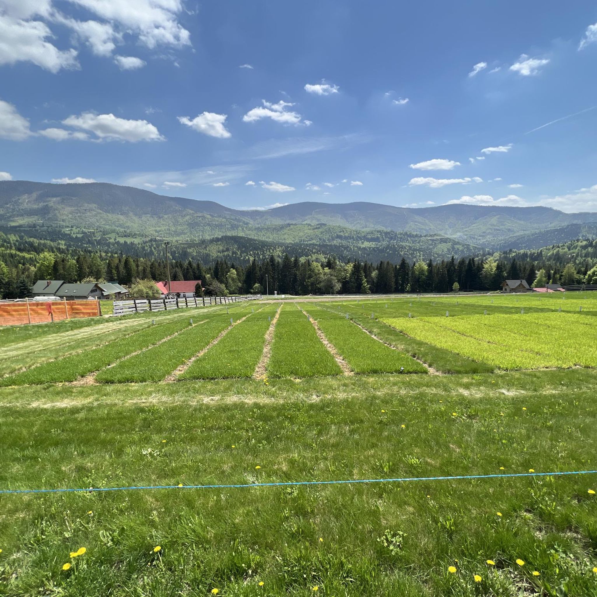

Other adventures around gmina Węgierska Górka

Tips from the Community

Extensive panoramas, nearby there is a mountain hut and two
0
1
Easy trail, nice views, nearby a shelter or even two.
0
0

Stunning views of the Tatra Mountains. So good, you'll lose your mind. You'll just want to jump for joy (just be careful not to fall off that tower!)
2
0
The views from this beautiful mountain pasture are breathtaking. It's worth stopping here for a few moments of relaxation—if the wind doesn't blow you away!
1
0
From here, you can see miles of greenery in Żywiec Landscape Park! A beautiful viewpoint, right next to Abrahamów Peak.
1
0
Beautiful views - glades, forests and mountains - just below the peak of Munczolik and just east of Palenica.
1
0

Nice place, but today "Słowianka" was closed.
0
0

Mountain tourist station - accommodation with access to the kitchen.
0
0
Frequently Asked Questions
How many running routes are available in gmina Węgierska Górka?
There are over 30 dedicated running routes around gmina Węgierska Górka listed on komoot, offering a wide range of options for different fitness levels and preferences.
Are there any easy jogging routes for beginners in the area?
While many routes in gmina Węgierska Górka are challenging, there is at least one easy route available. Additionally, the modernized boulevards along the Soła River offer pleasant, flatter sections ideal for a relaxed jog or for those new to running in the area. You can find more options by filtering for 'easy' routes on komoot.
What kind of terrain can I expect on the running trails in gmina Węgierska Górka?
The terrain is predominantly mountainous, characterized by dense forests and significant elevation changes within the Żywiec Beskids. You'll find paths leading to peaks like Skrzyczne and Barania Góra, as well as scenic riverside routes along the Soła River. This variety provides options from challenging mountain ascents to more gentle, prepared paths.
Are there any circular running routes in gmina Węgierska Górka?
Yes, many of the running routes in gmina Węgierska Górka are circular. For example, the difficult Wielki Żor – Mały Żor loop from Węgierska Górka is a great option for a challenging circular run, covering about 13.3 km.
What natural attractions can I see while running in gmina Węgierska Górka?
The region is rich in natural beauty. You can encounter sights like Malinowska Rock, enjoy panoramic views from various points such as Abrahamów or Ficońka, and even see the Kaskady Rodła Waterfalls. Many routes also pass through dense forests and along the scenic Soła River.
Are there any mountain huts along the running trails for rest or shelter?
Yes, the presence of mountain huts is a great feature for longer runs. The Romanka – Hala Rysianka loop from Węgierska Górka, for instance, leads past the Rysianka Mountain Hut, which offers a convenient stop and often provides unforgettable panoramas.
What do other runners say about the trails in gmina Węgierska Górka?
The running routes in gmina Węgierska Górka are highly rated by the komoot community, with an average score of 4.7 stars. Runners often praise the diverse mountainous terrain, the stunning views from peaks like Barania Góra, and the well-integrated network of trails that cater to various levels of difficulty.
Are there any historical sites or landmarks to explore near the running routes?
Yes, gmina Węgierska Górka is known as the 'Westerplatte of the South' due to its preserved defensive forts from World War II. Fort Wędrowiec, for example, is near a prepared jogging route and houses a small historical exhibition, adding a unique historical dimension to your outdoor activity.
Are there any specific prepared jogging routes in gmina Węgierska Górka?
Yes, for those seeking more structured running options, there are mechanically prepared and marked jogging routes. One such route, approximately 1200 meters long, is located near Fort Wędrowiec. Another prepared route, about 800 meters long, can be found near Biedronka.
What are some challenging running routes for experienced runners?
Experienced runners will find plenty of challenging options. The Loop Żabnica - Romanka - Rysianka is a difficult 19.2 km trail with significant elevation gain. Another demanding option is the Rysianka Mountain Hut – Pilsko Peak loop from Skałka, which is 31.9 km long and features substantial climbs.
Can I find routes that offer panoramic views of the region?
Absolutely. Many routes in gmina Węgierska Górka lead to viewpoints offering stunning panoramas. From Abrahamów, you can see the Silesian Beskids and the Żywiec Basin. Ficońka provides views of the Romanka and Lipowska ridges, while Cumowa Grapa overlooks the Barania Góra massif. The Viewing tower on Barania Góra is also a prime spot for expansive vistas.
Most popular routes around gmina Węgierska Górka
Most popular attractions around gmina Węgierska Górka

Get inspired with the komoot mobile app


Explore more
Browse the best Running Trails & Routes in other regions.
