The best running trails around gmina Nowy Staw
4.8
(39)
1,197
runners
86
runs
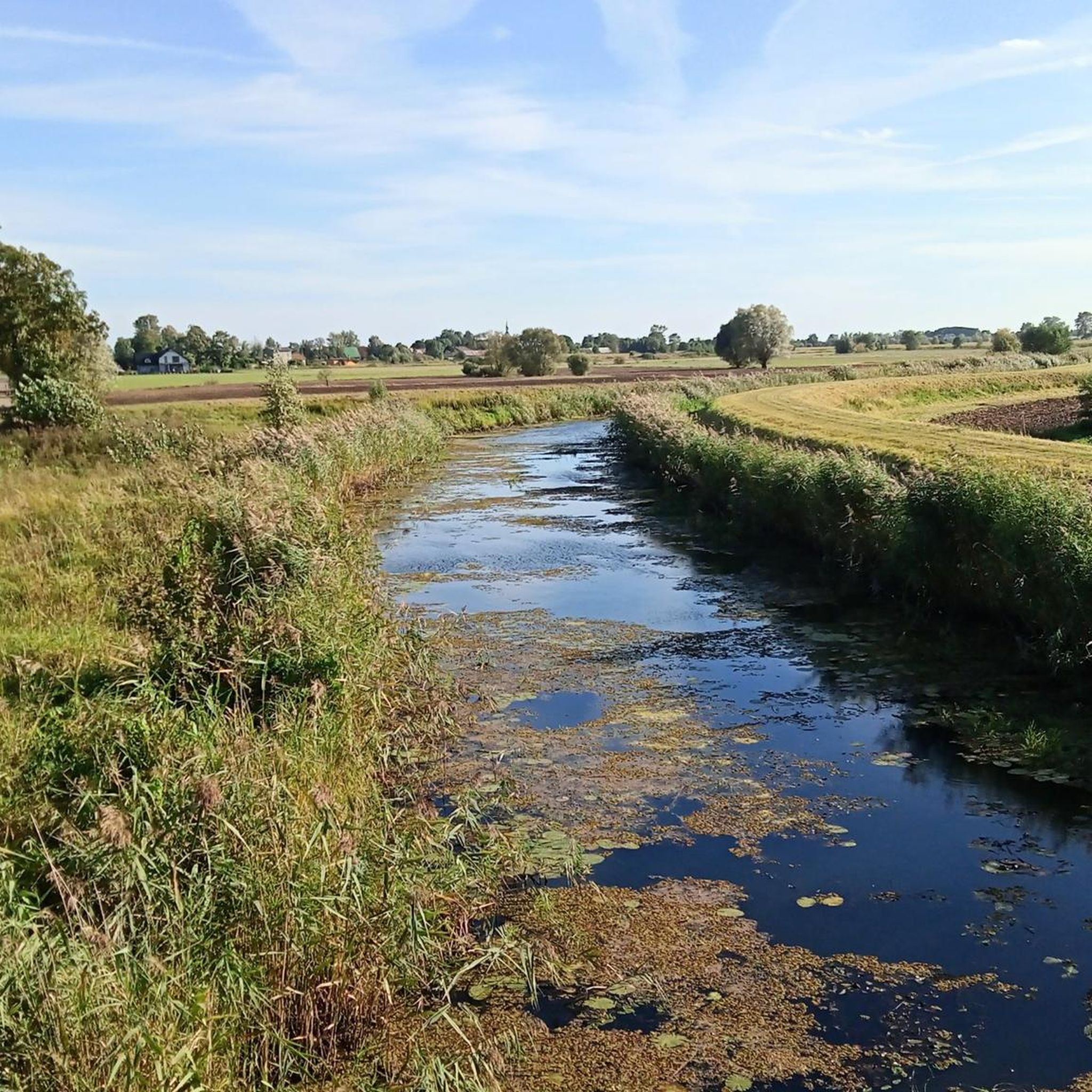
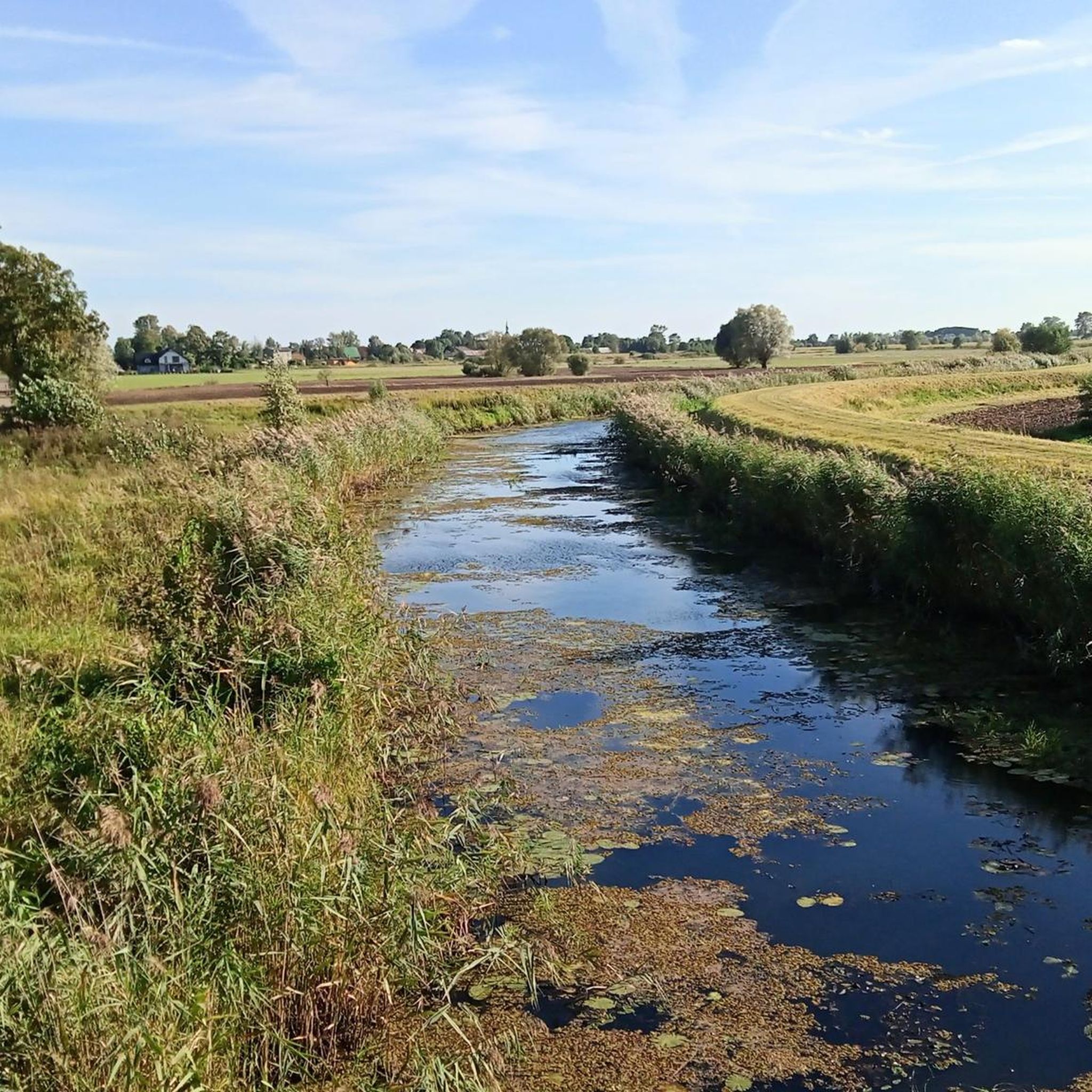
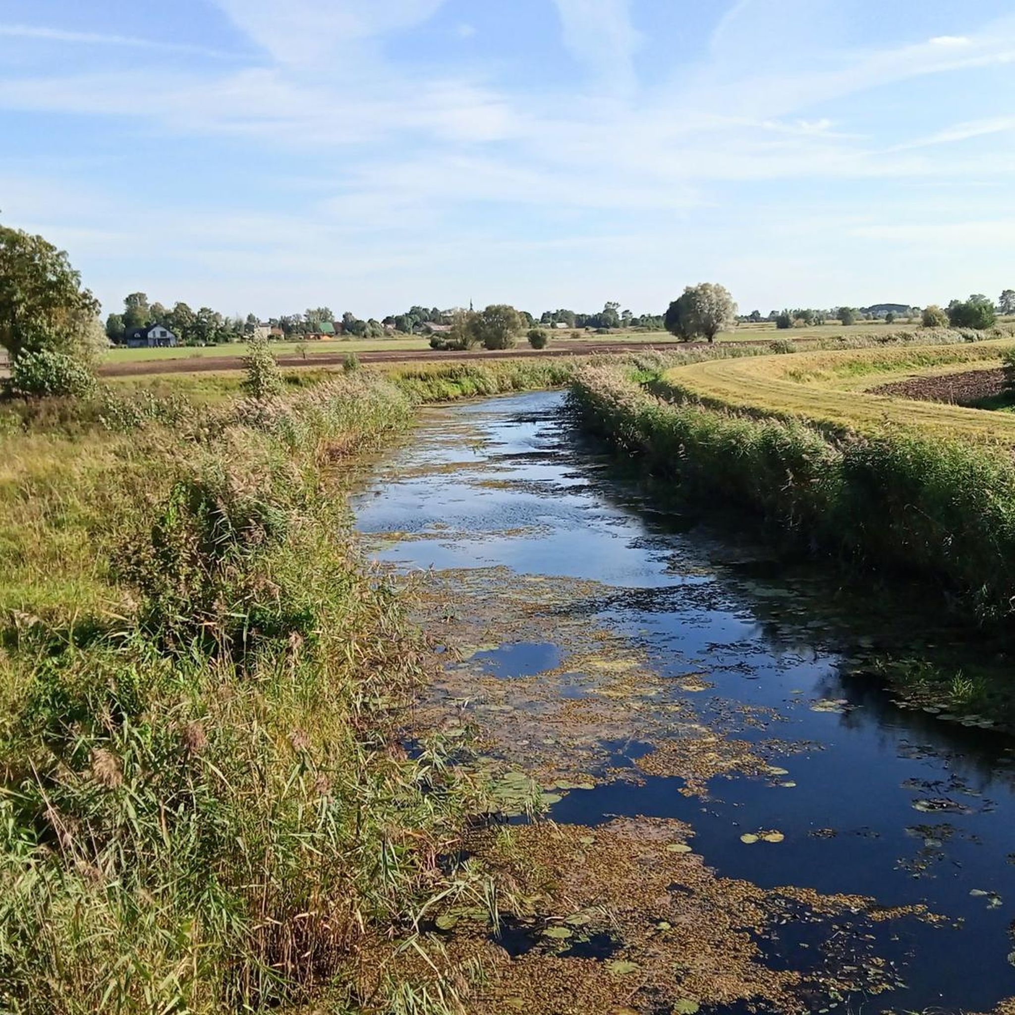
Jogging routes around Gmina Nowy Staw offer an ideal setting for runners due to the region's predominantly flat terrain within the Great Żuławy Malborskie. This area is characterized by an alluvial plain, with slight elevations and some parts below sea level, making it suitable for less strenuous running. The landscape features picturesque rivers like the Nogat and Święta, along with a network of drainage ditches and canals, providing numerous linear paths. Protected natural areas, including the Nogat River Protected Landscape…
Last updated: October 25, 2026
5.0
(1)
26
runners
4.77km
00:31
20m
20m
Easy run. Mostly paved surfaces.
4.0
(1)
6
runners
6.98km
00:43
10m
10m
Moderate run. Good fitness required. Mostly paved surfaces.

7
runners
16.2km
01:43
30m
30m
Hard run. Very good fitness required. Mostly paved surfaces.
6
runners
Moderate run. Good fitness required. Mostly paved surfaces.
4
runners
4.22km
00:28
10m
10m
Easy run. Mostly paved surfaces.
Get access to more routes and recommendations from other explorers.
Already have an account?
Our route recommendations are based on thousands of hikes, rides, and runs completed by other people on komoot.
Start today with a free account
Your next adventure awaits.

Tips from the Community

The Malbork water tower is a real gem, perfectly prepared for tourists. It no longer serves a water supply function. A modern elevator has been installed, which allows easy access from the ground floor to the third floor. From there, you have to climb 67 steps, which is possible even for people with a moderate fear of heights. The huge steel riveted tank has been cut at the bottom, allowing entry inside and viewing the city panorama through the windows on all four sides of the tower. The castle is clearly visible. Admission is free and the opening hours are shown in the photo I attached. Please ring the bell before entering. WW
0
0

The Buttermilk Tower (Wieża Maślakowa, also Recketurm) is a historical defensive tower of the city fortifications of Marienburg (Malbork). It is located on the western edge of the complex on the Nogat River and was built between 1330 and 1340 by the Teutonic Order. The Buttermilk Tower was part of the eastern defensive wall of the outer bailey and the city fortifications. Today it marks the northwestern end of the historical castle complex.
2
0
The water tower on Słowiański Square in Marienburg (Malbork) was built when the water and sewage pipes were laid in the city. The brick building was erected on a high, octagonal stone base. The cylindrical tower was divided at the corners of the base by narrow pilasters. The building has three floors, each with one room. The water tank and the spiral staircase have been preserved to this day. https://de.visitmalbork.pl/1121,Wasserturm-am-Slowianski-Platz.html
2
0
The St. Mary's Gate - Brama Mariacka - is one of the distinctive historical city gates of Malbork. Formerly known as the Ferry Gate, it connected the city to the south towards Marienwerder and Thorn. The Brick Gothic style is clearly recognizable, and the renovated complex today forms an atmospheric entrance to the old town. The gate is a short, rewarding stop and a quiet glimpse into the medieval city structure before continuing to the Malbork Castle or along the Nogat river.
2
0

Super view
3
0
Super great castle
3
0

The Marienburg can be seen clearly
1
0
Malbork Castle is a medieval Teutonic Knights castle built in the 13th century. It lies on the Nogat River, an estuary of the Vistula River, near the Polish town of Malbork (German: Marienburg). From 1309 to 1454, the castle served as the seat of the Grand Masters of the Order within the Teutonic Order. Afterward, with brief interruptions from 1457 to 1772, it belonged to Polish Prussia, a province of the Kingdom of Poland, and served as the residence of Polish kings. During this period, the castle was also temporarily under Swedish control. After the partition of Poland, the castle became part of the Kingdom of Prussia in 1772, and after the Second World War, it became part of Poland. The extensive castle complex is the largest brick building in Europe. The UNESCO World Heritage Site houses several exhibitions and can be visited year-round on snow-free days." Wikipedia - Malbork (Ordensburg) This castle is without a doubt a highlight. Anyone who is even remotely nearby should definitely stop by.
3
0
Frequently Asked Questions
What is the terrain like for jogging in Gmina Nowy Staw?
The terrain in Gmina Nowy Staw is predominantly flat, characteristic of the Great Żuławy Malborskie region. It's an alluvial plain with slight elevations, making it ideal for less strenuous running. You'll find expansive agricultural landscapes, river embankments, and the distinctive polder system, offering long, uninterrupted stretches perfect for distance running.
How many running routes are available in Gmina Nowy Staw?
There are over 50 dedicated jogging routes in Gmina Nowy Staw, catering to various fitness levels. This includes 9 easy routes, 38 moderate routes, and 11 more challenging options.
Are there routes suitable for beginners or those looking for an easy run?
Yes, Gmina Nowy Staw offers several easy running routes. For example, the Baszta Tower – Promenade at the foot of the castle loop from Malbork is an easy 4.6 km trail that provides scenic views of the historic castle area.
What kind of scenery can I expect on the running trails?
Runners can enjoy diverse scenery, including the picturesque Nogat and Święta rivers, meadows, pastures, and wooded zones within the Nogat River Protected Landscape Area. The region's unique polder system and open agricultural landscapes also provide a tranquil backdrop for your runs.
Are there any circular running routes in the area?
Many of the running routes in Gmina Nowy Staw are designed as loops, offering convenient circular paths. Popular options include the Nogat Riverside Park loop from Malbork and the Promenade at the foot of the castle – Nogat Riverside Park loop from Malbork.
Can I bring my dog on the running trails in Gmina Nowy Staw?
While specific regulations for dogs on every trail may vary, generally, the open landscapes and river embankments in Gmina Nowy Staw are suitable for running with dogs, provided they are kept under control and any local signage is respected. The protected natural areas, such as the Ecological Use Area in Półmieście, are havens for wildlife, so extra care should be taken.
What historical landmarks or attractions can I see while running?
Several routes offer views of historical landmarks. You can run past the magnificent Malbork Castle, a UNESCO World Heritage site, or explore parts of historical trails like the Copernicus Trail and the Great Żuławy Trail. Other notable sights include the Monument of King Casimir IV Jagiellon and various historic churches.
Where can I park when accessing the running routes?
Parking availability varies by starting point. For routes originating near Malbork, there are often designated parking areas close to the castle or riverside parks. For routes deeper within Gmina Nowy Staw, look for parking in village centers or near popular access points to trails and embankments.
What do other runners enjoy the most about jogging in Gmina Nowy Staw?
The running routes in Gmina Nowy Staw are highly rated by the komoot community, with an average score of 4.9 stars from over 20 reviews. Runners often praise the tranquil, flat terrain, the scenic views along the Nogat River, and the opportunity to explore both natural beauty and historical surroundings.
Are there any routes that combine natural beauty with historical sites?
Absolutely. The Nogat Riverside Park – Promenade at the foot of the castle loop from Malbork is a great example, leading through scenic riverside parks and past historical surroundings, including views of Malbork Castle.
Are there any routes along the Vistula River?
While Gmina Nowy Staw is primarily characterized by the Nogat and Święta rivers, the wider Żuławy region features the Vistula. The Vistula River Embankment Cycle Path, though designed for cycling, often provides firm, flat surfaces suitable for running with expansive views of the river and floodplains.
Can I find routes that are less crowded?
Given the expansive nature of the Żuławy landscape and the network of drainage ditches and canals, many linear routes along riverbanks and through agricultural fields offer a peaceful and less crowded running experience, especially away from the immediate vicinity of Malbork Castle.
Most popular attractions around gmina Nowy Staw

Get inspired with the komoot mobile app


Explore more
Browse the best Running Trails & Routes in other regions.
