The best road cycling routes around Malbork
4.1
(7)
770
riders
46
rides
Road cycling routes around Malbork are primarily characterized by the flat terrain of the Zulawy Wislane Delta, which forms the Vistula River's delta. This region offers smooth, less strenuous rides, making it accessible for various fitness levels. The Nogat River flows through Malbork, providing scenic routes along its banks. The landscape is fertile and picturesque, with numerous branches of the Vistula River contributing to the area's natural features.
Best road cycling routes around Malbork
- The most popular road cycling route…
Last updated: October 29, 2026
198
riders
33.6km
01:30
80m
80m
Moderate road ride. Some segments of this route may be unpaved and difficult to ride.
82
riders
Easy road ride. Mostly well-paved surfaces and easy to ride.

5.0
(1)
32
riders
45.4km
01:59
220m
220m
Easy road ride. Mostly well-paved surfaces and easy to ride.
5.0
(1)
39
riders
25.3km
01:27
110m
110m
Moderate road ride. Some segments of this route may be unpaved and difficult to ride.
22
riders
103km
04:13
470m
470m
Moderate road ride. Good fitness required. Some segments of this route may be unpaved and difficult to ride.
Get access to more routes and recommendations from other explorers.
Already have an account?
Our route recommendations are based on thousands of hikes, rides, and runs completed by other people on komoot.
Start today with a free account
Your next adventure awaits.
Other adventures around Malbork

Tips from the Community


The Malbork water tower is a real gem, perfectly prepared for tourists. It no longer serves a water supply function. A modern elevator has been installed, which allows easy access from the ground floor to the third floor. From there, you have to climb 67 steps, which is possible even for people with a moderate fear of heights. The huge steel riveted tank has been cut at the bottom, allowing entry inside and viewing the city panorama through the windows on all four sides of the tower. The castle is clearly visible. Admission is free and the opening hours are shown in the photo I attached. Please ring the bell before entering. WW
0
0
Nice quiet section with little road traffic
0
0

The water tower on Słowiański Square in Marienburg (Malbork) was built when the water and sewage pipes were laid in the city. The brick building was erected on a high, octagonal stone base. The cylindrical tower was divided at the corners of the base by narrow pilasters. The building has three floors, each with one room. The water tank and the spiral staircase have been preserved to this day. https://de.visitmalbork.pl/1121,Wasserturm-am-Slowianski-Platz.html
2
0
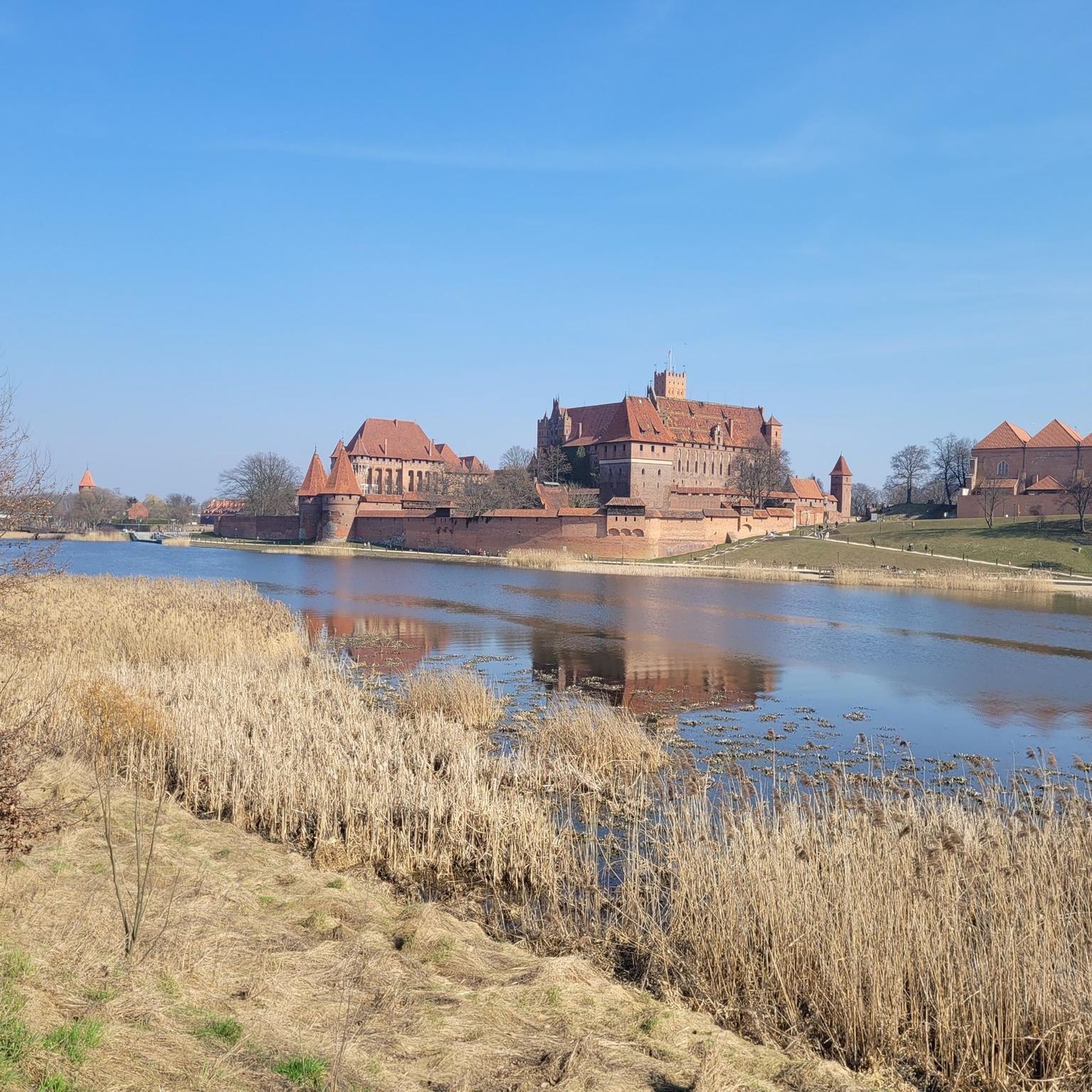
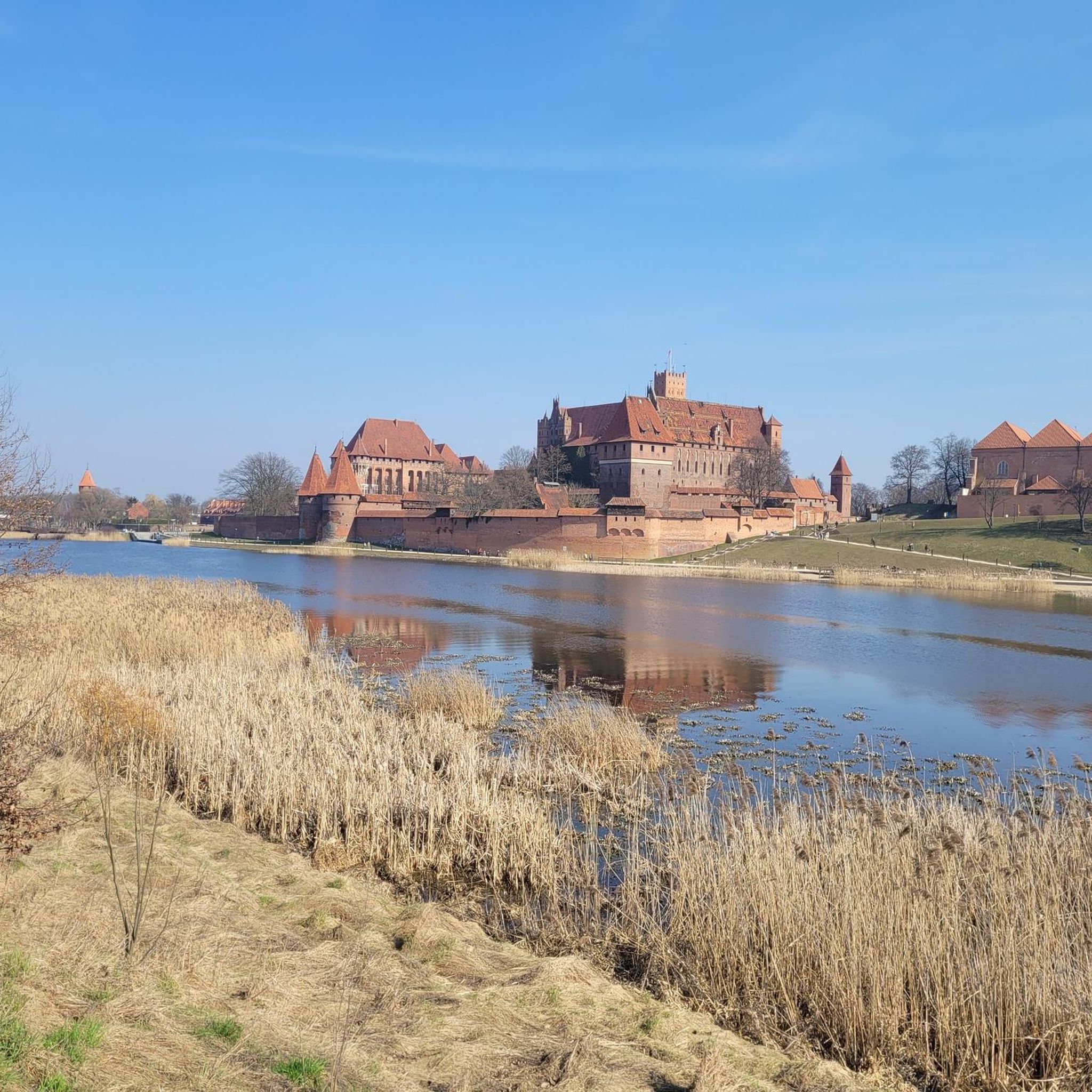
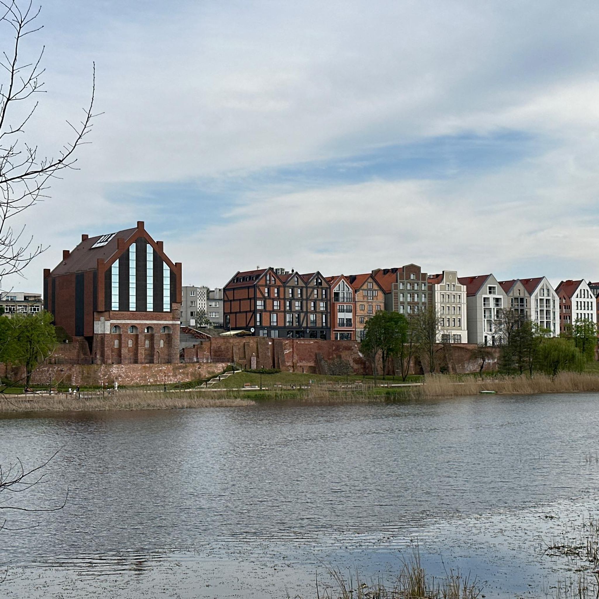
The St. Adalbert Bridge (Most im. św. Wojciecha) spans the Nogat River and, with the very best panoramic views of the Malbork Castle, leads you to the largest brick castle in the world. It connects the modern promenade (Bulwar im. Macieja Kilarskiego) on the city side directly with the castle grounds.
2
0

Super view
3
0
Frequently Asked Questions
How many road cycling routes are available around Malbork?
There are over 35 road cycling routes around Malbork, offering a variety of options for different skill levels. You'll find 17 easy routes and 20 moderate routes to explore.
What is the typical terrain for road cycling in the Malbork area?
The terrain around Malbork is predominantly flat, as it lies within the Zulawy Wislane Delta. This makes for smooth, less strenuous rides, ideal for cyclists of varying fitness levels. Many routes follow the scenic banks of the Nogat River.
Are there any easy road cycling routes suitable for beginners in Malbork?
Yes, Malbork offers 17 easy road cycling routes. An excellent option for beginners is the View of Malbork Castle – Malbork Castle loop from Malbork Kałdowo, which is just under 30 km long and features minimal elevation gain.
What kind of landmarks and natural features can I expect to see along the road cycling routes?
Many routes offer stunning views of the historic Malbork Castle, the largest brick castle in the world. You'll also cycle alongside the picturesque Nogat River and through the fertile landscapes of the Zulawy Wislane Delta. Other points of interest include the Monument of King Casimir IV Jagiellon and the historic town center.
Are there any longer, more challenging road cycling routes around Malbork?
Yes, for those seeking a longer ride, the View of the Biała Góra Lock – View of Malbork Castle loop from Malbork is a moderate 102.7 km trail that takes about 4 hours 11 minutes to complete, leading through the Vistula River delta. Another moderate option is the Malbork Castle – View of Malbork Castle loop from Malbork, also over 100 km.
What do other road cyclists enjoy most about cycling in Malbork?
The road cycling routes in Malbork are highly rated by the komoot community, with an average score of 4.6 stars from over 6 reviews. Cyclists often praise the flat, scenic terrain along the Nogat River and the impressive views of Malbork Castle from various perspectives.
Are there any circular road cycling routes available?
Yes, many of the routes around Malbork are circular, allowing you to start and end in the same location. For example, the popular Malbork Castle – View of Malbork Castle loop from Wielbark is a 33.7 km circular route offering diverse views of the castle.
What is the best time of year for road cycling in Malbork?
The flat terrain of Malbork makes it enjoyable for road cycling across many seasons. Spring and autumn generally offer pleasant temperatures and beautiful scenery. While winter cycling is possible, conditions can be colder and require appropriate gear.
Can I find routes that connect different historical sites?
Absolutely. The Sztum Castle – Malbork Castle loop from Malbork is a moderate 46.7 km route that connects two significant castles, offering a journey through history as you traverse the flat delta landscape.
Are there any specific viewpoints of Malbork Castle accessible by road bike?
Many routes are designed to offer excellent views of Malbork Castle. The Malbork Castle – View of Malbork Castle loop from Wielbark specifically highlights various perspectives of the fortress, especially from along the Nogat River.
Are there options for family-friendly road cycling in Malbork?
Given the predominantly flat terrain of the Zulawy Wislane Delta, many of the easy routes are suitable for families. The smooth paths and scenic riverbanks provide a pleasant and less strenuous experience for cyclists of all ages.
Most popular routes around Malbork
Most popular attractions around Malbork

Get inspired with the komoot mobile app


Explore more
Browse the best Road cycling routes in other regions.
