The best road cycling routes around gmina Olszanica
4.7
(79)
2,211
riders
13
rides
Road cycling around gmina Olszanica, located in Poland's Subcarpathian Voivodeship, offers varied terrain within the Bieszczady Mountains region and the Słonne Mountains Landscape Park. The area features undulating paved roads with continuous ascents and descents, providing a challenging experience for cyclists. Routes often follow the San River valley, offering scenic views of the river and forested mountainsides. The landscape is characterized by mountain roads, including serpentines, and expansive views of forested mountains.
Best road cycling routes around gmina Olszanica
- The…
Last updated: October 27, 2026
5.0
(1)
17
riders
36.3km
01:32
280m
280m
Easy road ride. Mostly well-paved surfaces and easy to ride.
22
riders
51.6km
02:18
540m
540m
Moderate road ride. Good fitness required. Mostly well-paved surfaces and easy to ride.

5.0
(7)
29
riders
35.4km
01:31
280m
280m
Easy road ride. Mostly well-paved surfaces and easy to ride.
28
riders
53.8km
02:32
670m
670m
Moderate road ride. Good fitness required. Mostly well-paved surfaces and easy to ride.
13
riders
22.2km
01:02
210m
210m
Easy road ride. Mostly well-paved surfaces and easy to ride.
Get access to more routes and recommendations from other explorers.
Already have an account?
Our route recommendations are based on thousands of hikes, rides, and runs completed by other people on komoot.
Start today with a free account
Your next adventure awaits.
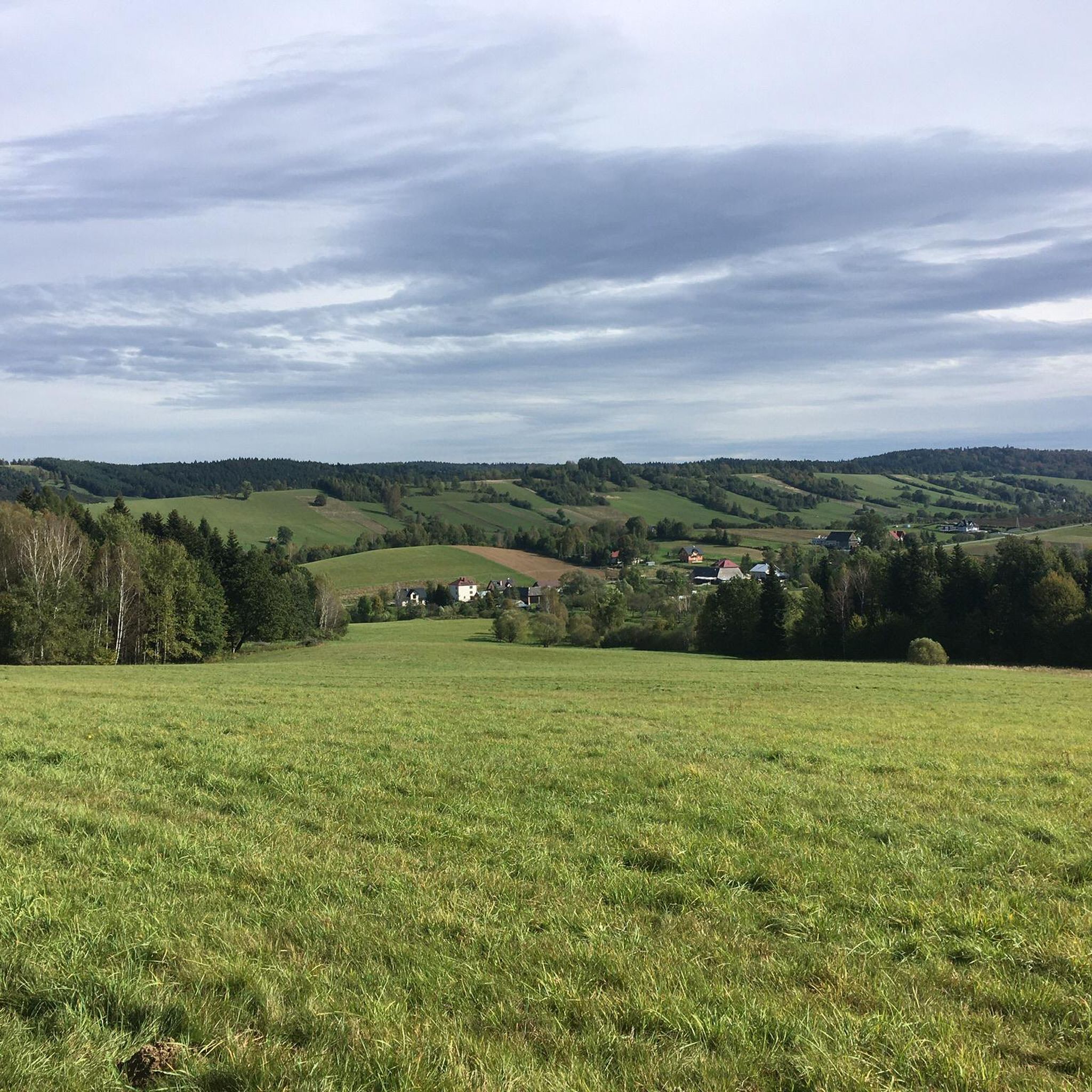
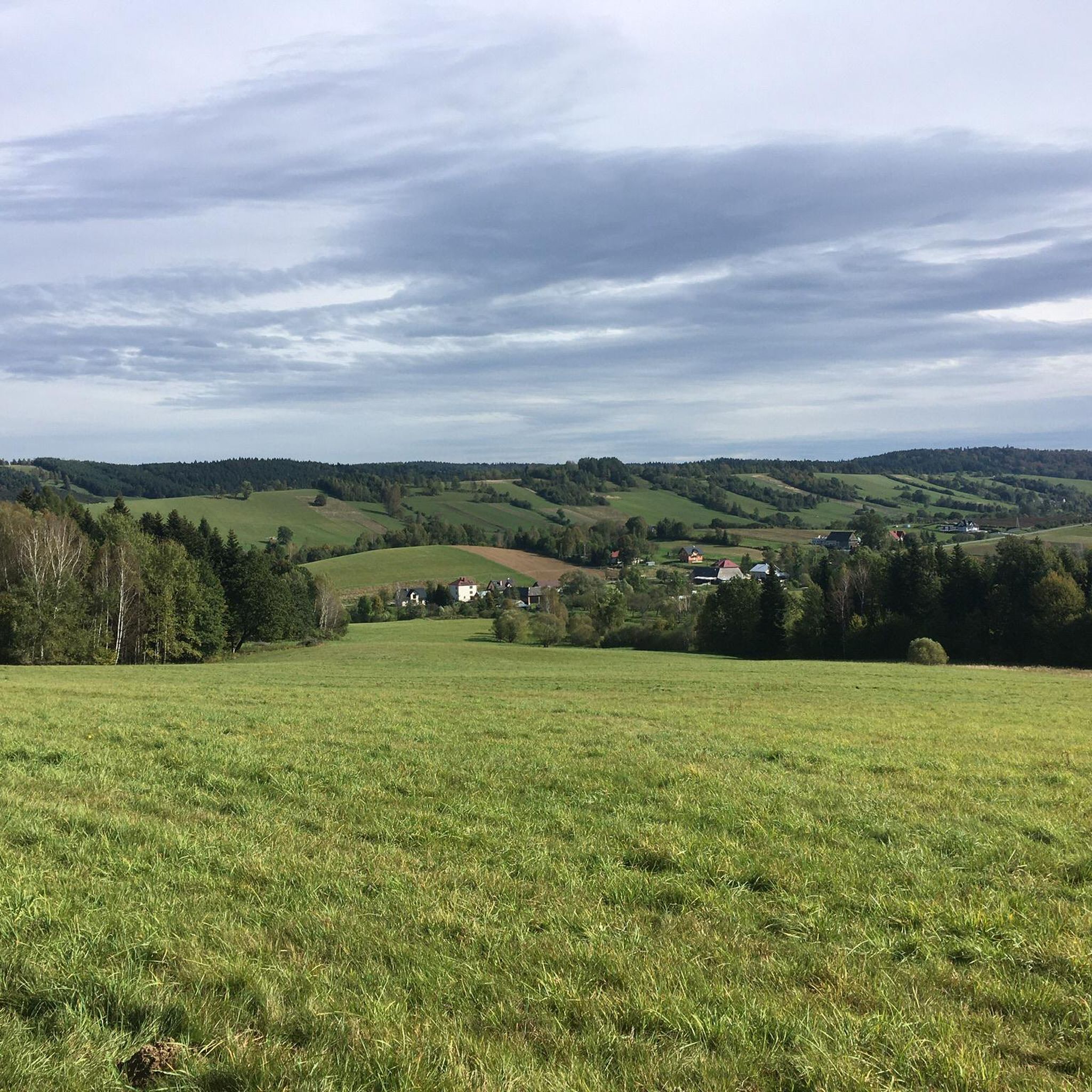
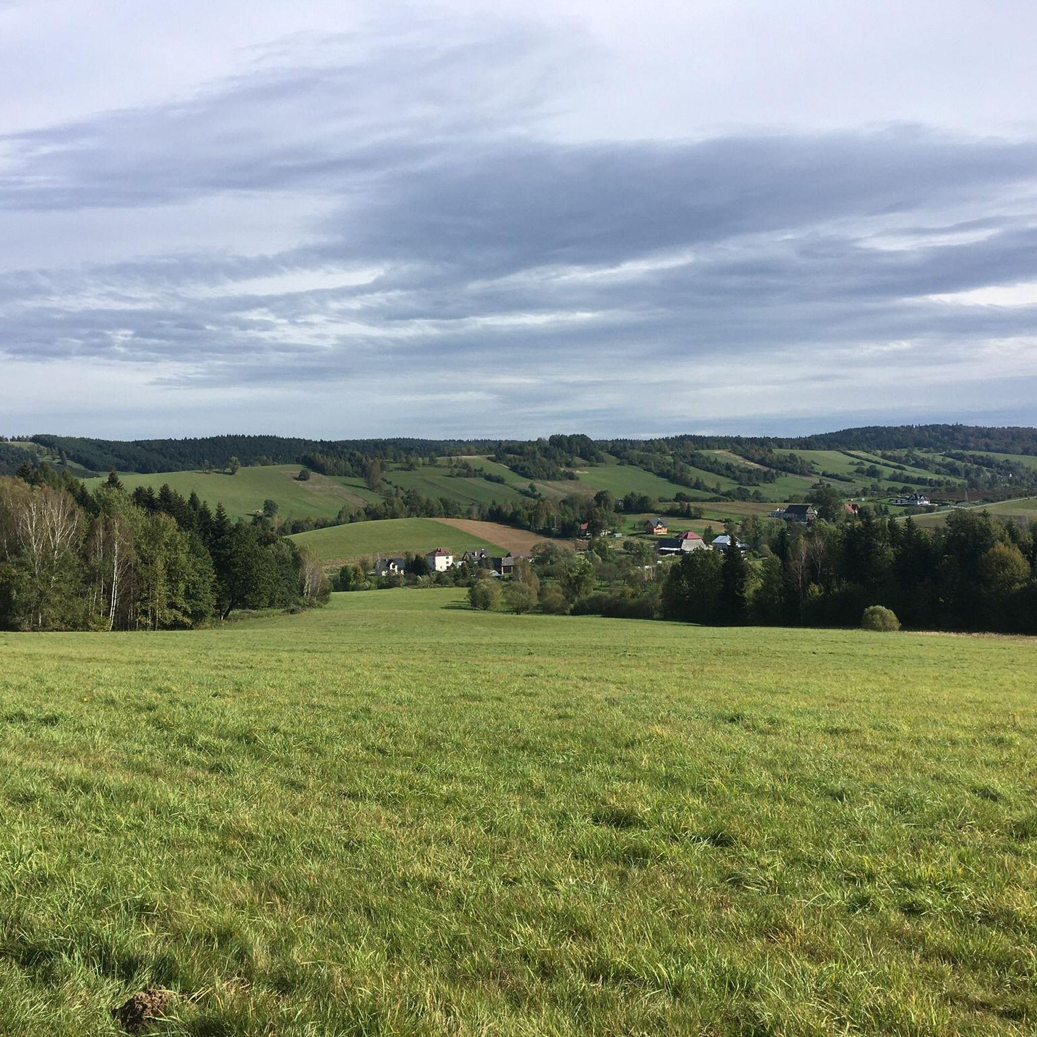
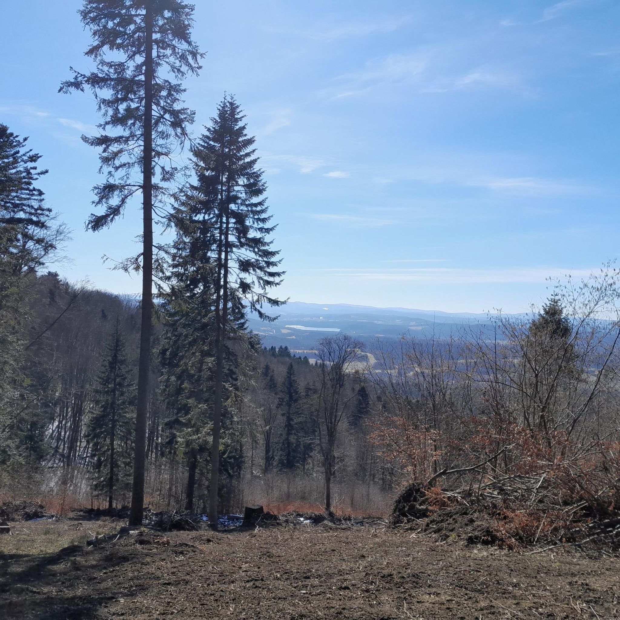
Tips from the Community

If we encounter a double patronage at this house of God, namely + to the Holy Cross + to the Mother of God, Queen of Poland, this is a constellation that is – in my experience – comparatively rare. And yet, such a connection is already anchored in the biblical scriptures: For according to the New Testament accounts of Jesus' crucifixion, at the hour of his death on Golgotha, it was not the apostles and disciples (with the exception of John) who stayed with him, but his mother Mary accompanied the Son of God – who became human through her – to the foot of the cross and suffered with him.
0
0

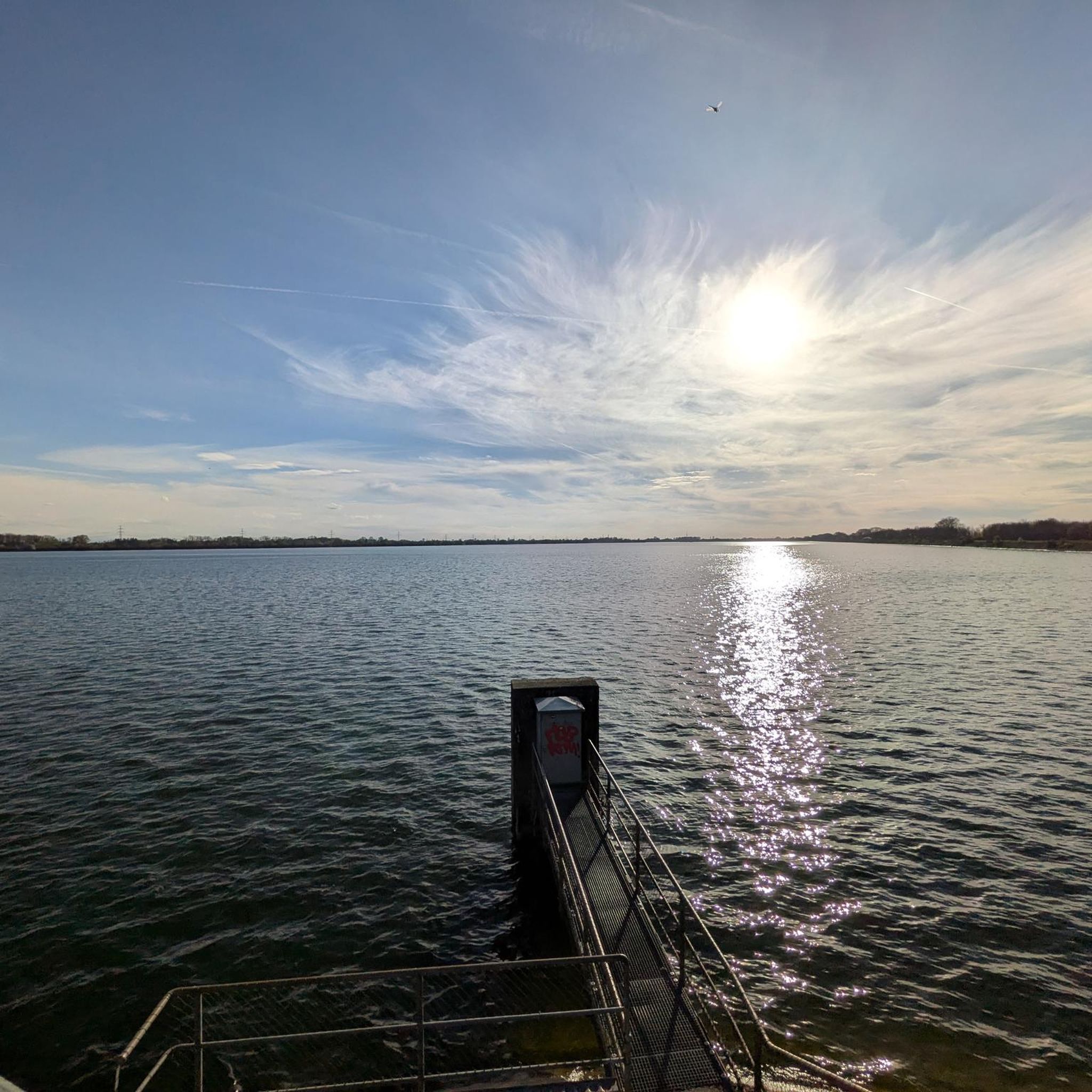
Solina and Myczkowski Lake
0
0

view of the lake and the heart on the slope
0
0

Nice route. Asphalt road, slight hills.
0
0

View of the heart :)
0
0

The Church of the Holy Cross and the Blessed Virgin Mary Queen of Poland in Rozpucie is a wooden temple from 1900, built on the initiative of Father Adam Orłowski and the Leokadia Żuk-Skarszewska foundation. Built in a log construction, on the plan of a Latin cross, with a pillar tower and a three-sided closed presbytery, it is an example of traditional sacral architecture of the region. Located in the quiet village of Rozpucie, in the Tyrawa Wołoska commune, the church is easily accessible by asphalt roads, which makes it an attractive destination for road cyclists.
1
0
5 km ascent to Przełęcz Przysłup (620 m) from Tyrawa Wołoska. The elevation gain is 280 m, and the average gradient is 5.9%, sometimes reaching 12%, which makes this ascent the fourth most difficult in the Podkarpackie region. Smooth and good quality asphalt.
2
0
Góra Sobień Reserve is a small but picturesque nature reserve located in the Bieszczady Mountains, known for the ruins of a medieval castle and a viewpoint over the San valley. The route leading to the top is short, but steep and rocky, so it is best to leave your road bike at the foot of the mountain. From the viewing platform you can admire a wide panorama of the surrounding hills and the river. It is a good place for a short stop and a walk with an element of history. Entry to the reserve is free.
0
0
Frequently Asked Questions
How many road cycling routes are available in gmina Olszanica?
There are over 80 road cycling routes available in gmina Olszanica, offering a wide range of options for different skill levels. The komoot community has explored more than 1,900 road cycling tours in the area.
What kind of terrain can I expect when road cycling in gmina Olszanica?
Road cycling in gmina Olszanica features undulating paved roads with continuous ascents and descents, characteristic of the Bieszczady Mountains region and the Słonne Mountains Landscape Park. Routes often follow the scenic San River valley, providing views of the river and forested mountainsides. You can expect mountain roads, including serpentines, and expansive views.
What is the best time of year for road cycling in gmina Olszanica?
The best time for road cycling in gmina Olszanica is typically from spring through autumn. During these seasons, the weather is generally favorable, allowing cyclists to fully enjoy the region's natural beauty and varied terrain. The Bieszczady Mountains offer stunning panoramas, which are particularly vibrant during these months.
Are there routes suitable for beginners or less experienced road cyclists?
Yes, while many routes feature challenging ascents, gmina Olszanica also offers options suitable for beginners. There are 8 easy and 49 moderate road cycling routes available, often found in the valley-based areas or along the San River, which provide gentler hills and paved surfaces.
Are there any challenging road cycling routes for experienced riders?
Absolutely. Experienced road cyclists will find plenty of challenging routes, including 31 difficult tours. These routes often feature significant elevation changes and longer distances, such as the Bridge Below the Solina Dam – Kolasznia Pass loop from Jankowce, which covers 65.9 miles (106.1 km) with extensive climbs and descents.
Can I find circular road cycling routes in gmina Olszanica?
Yes, many of the road cycling routes in gmina Olszanica are designed as loops, allowing you to start and end at the same point. An example is the Bridge Below the Solina Dam – Biesart Metal Sculptures loop from Rezerwat Nad Jeziorem Myczkowieckim, a 47.4-mile (76.3 km) difficult trail.
What natural landmarks or scenic viewpoints can I see along the road cycling routes?
Road cycling routes in gmina Olszanica offer access to numerous natural landmarks and scenic viewpoints. You can enjoy views of the Słonne Mountains, the San River valley, and the broader Bieszczady Mountains panorama. Notable highlights include the Solina Dam, Myczkowce Dam, and various viewpoints like View of Lake Myczkowskie and the Heart on Suchy Berd Hill. The Słonne Mountains Landscape Park itself offers picturesque views and serpentines.
Are there any historical or cultural attractions accessible by road bike?
Yes, the Bieszczady region, including gmina Olszanica, is rich in cultural and historical attractions. Along the cycling routes, you might encounter roadside shrines, traditional wooden architecture, and various Orthodox and Catholic churches. The T-34 Tank Monument in Sanok – Góra Sobień Nature Reserve loop from Jankowce is an example of a route that passes by a historical monument.
Is parking available near the road cycling routes in gmina Olszanica?
While specific parking areas for each route are not detailed, gmina Olszanica is part of a region well-regarded for outdoor activities. It is generally possible to find parking in towns or designated areas near popular trailheads or points of interest, especially in the broader Bieszczady area. We recommend checking local information for specific starting points.
Are there options for public transport to access road cycling routes?
Public transport options in gmina Olszanica and the surrounding Bieszczady region might be limited, especially for reaching specific, more remote road cycling trailheads. It's advisable to plan your journey in advance and consider local bus services or private transport if you intend to use public options to access routes.
Are there any cafes or places to rest along the road cycling routes?
Yes, as you cycle through gmina Olszanica and the wider Bieszczady area, you will find opportunities for rest and refreshments. Towns and villages along the routes often have cafes, pubs, and small shops where you can take a break, refuel, and enjoy local hospitality. The region is known for providing resting places for cyclists.
What do other road cyclists enjoy the most about road cycling in gmina Olszanica?
The road cycling experience in gmina Olszanica is highly rated by the komoot community, with an average score of 4.8 stars from over 50 reviews. Cyclists often praise the diverse terrain, the stunning natural beauty of the Bieszczady Mountains and San River valley, and the challenging yet rewarding ascents and descents on well-paved roads.
Most popular routes around gmina Olszanica
Most popular attractions around gmina Olszanica

Get inspired with the komoot mobile app


Explore more
Browse the best Road cycling routes in other regions.
