The 17 Most Amazing Peaks around Mühlacker
Best mountain peaks around Mühlacker are found within a hilly landscape situated along the Enz river, at an elevation of approximately 240 meters above sea level. This region, part of the Kraichgau-Stromberg area and bordering the Black Forest, features numerous elevated areas and scenic routes. While not traditional mountain peaks, these locations offer elevated perspectives and opportunities for outdoor activities. The area provides diverse terrain suitable for hiking and exploring its natural beauty.
Best mountain peaks around Mühlacker
- The most…
Last updated: June 24, 2026
View from Derdinger Horn
Highlight • Viewpoint
Translated by Google •
Tip by

Baiselsberg — Highest Point in the Stromberg
Highlight • Summit
Translated by Google •
Tip by

Sign up now to discover places like this
Get recommendations on the best single tracks, peaks, & plenty of other exciting outdoor places.
Sign up for free
Schlierkopf Summit
Highlight • Summit
Translated by Google •
Tip by
Feuerbacher Heide-Dickenberg Nature Reserve
Highlight • Natural Monument
Translated by Google •
Tip by

Alte Burg Hillfort (379 m)
Highlight • Historical Site
Translated by Google •
Tip by

Sign up for free to discover even more peaks around Mühlacker.
Sign up for free
Already have an account?
Start today with a free account
Your next adventure awaits.
Login or Signup
Popular around Mühlacker
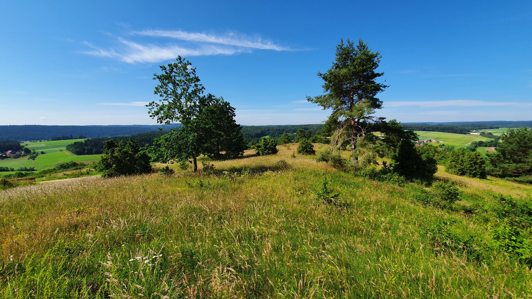
Germany's Gäurandweg – A ramble through the countryside
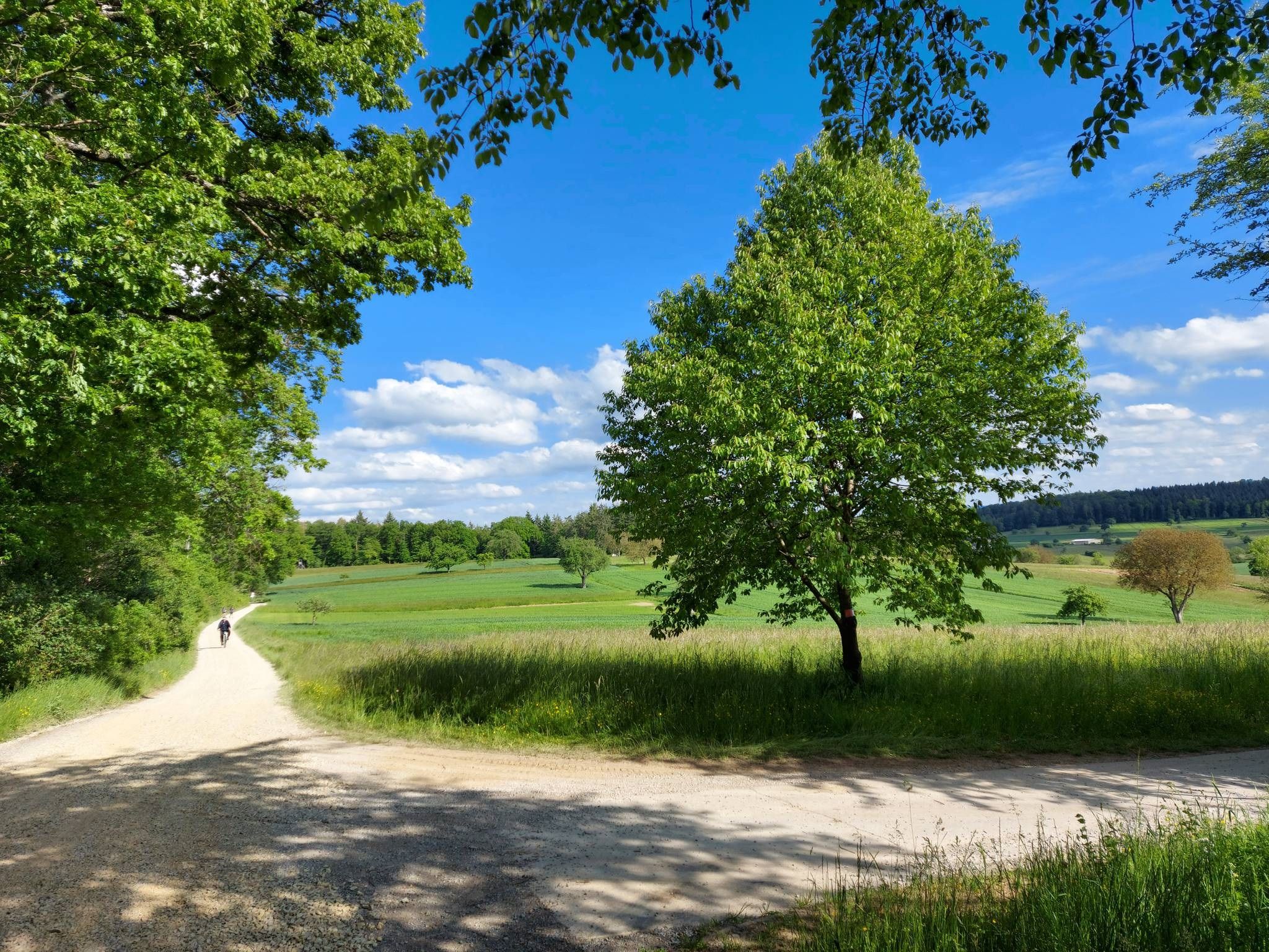
Schwarzwald Nordrandweg – Between forest and meadow
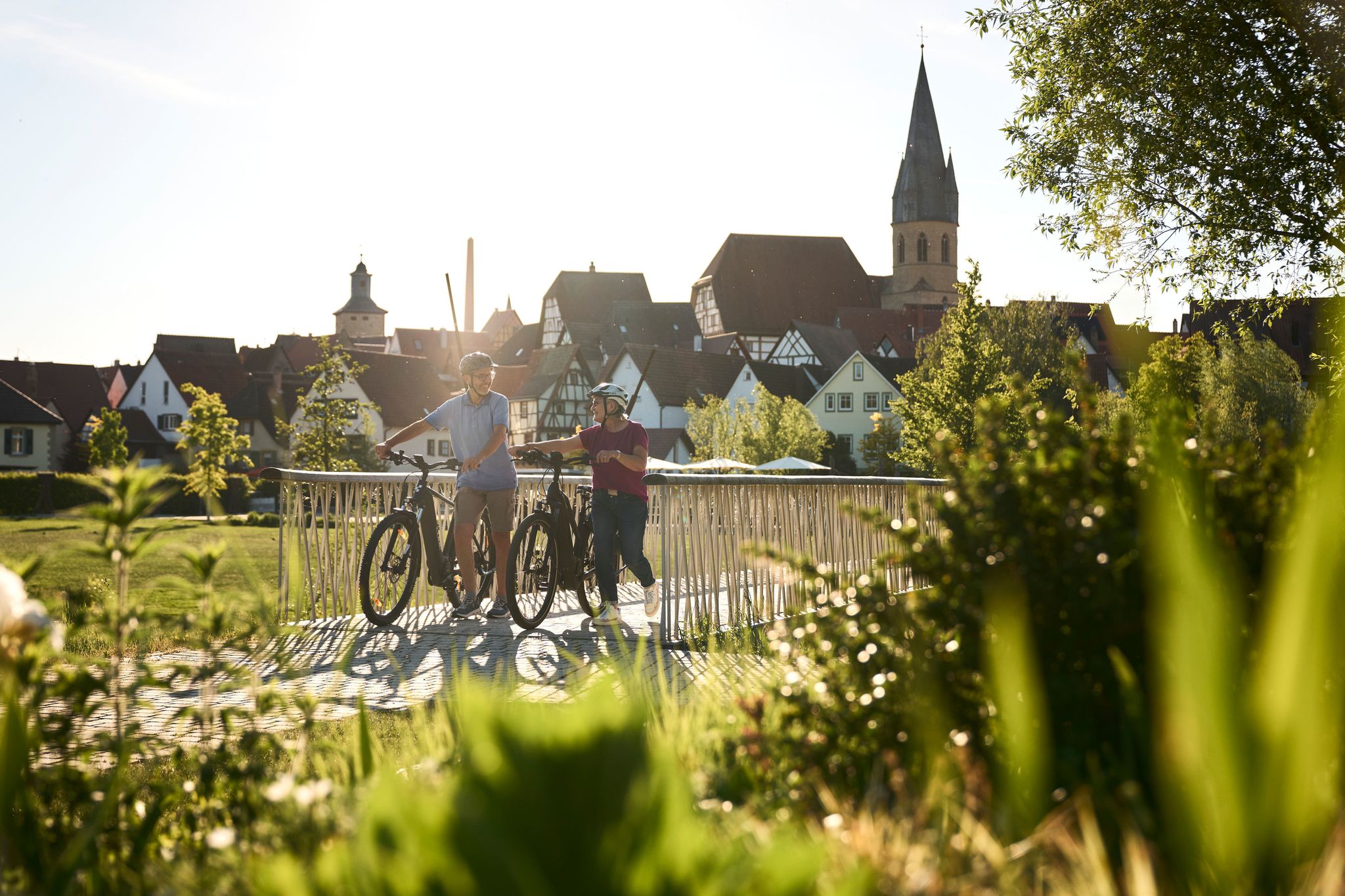
Half-timbered houses and superb cycling tours – the best of the South

Oases of calm – hill sofas in the land of 1,000 hills
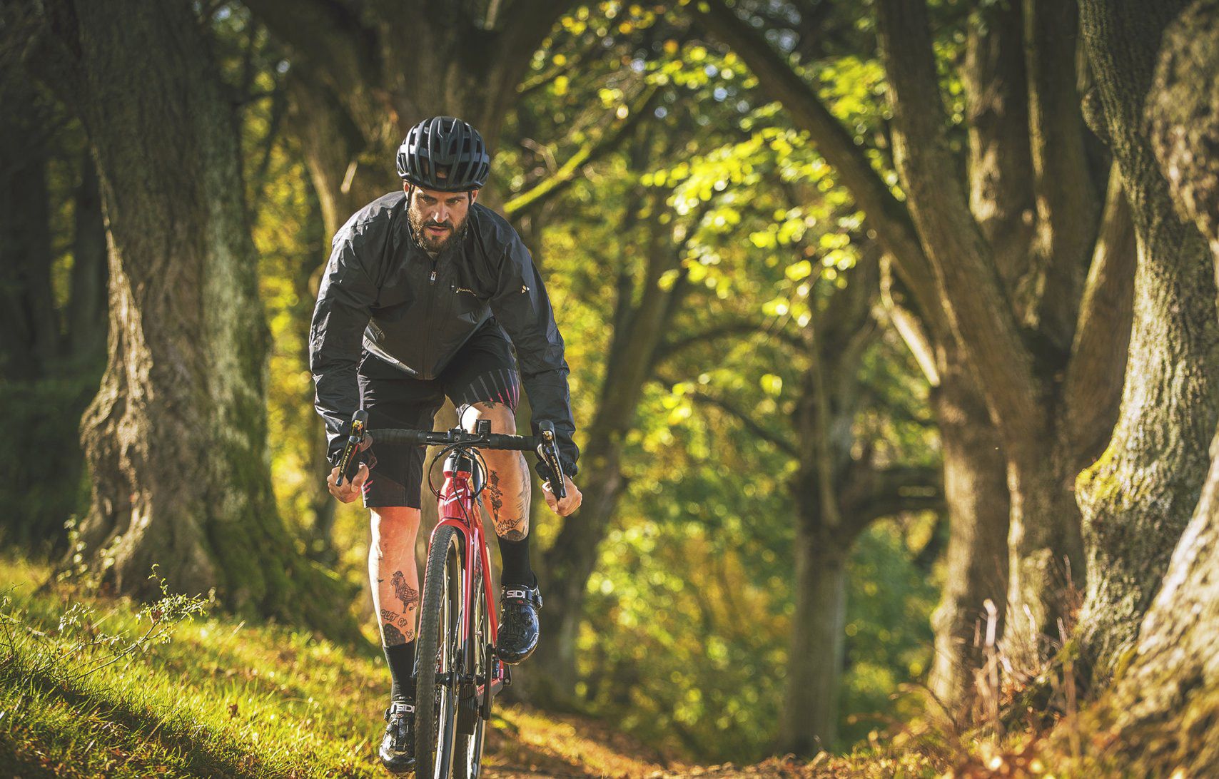
Nature Park Gravel Crossing from North to South – Baden-Württemberg
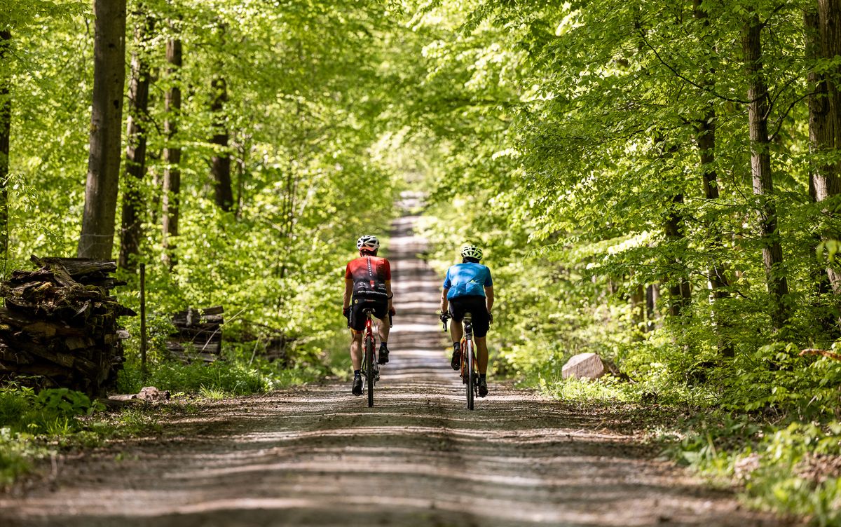
Gravel biking through the land of 1,000 hills – Kraichgau-Stromberg in Germany
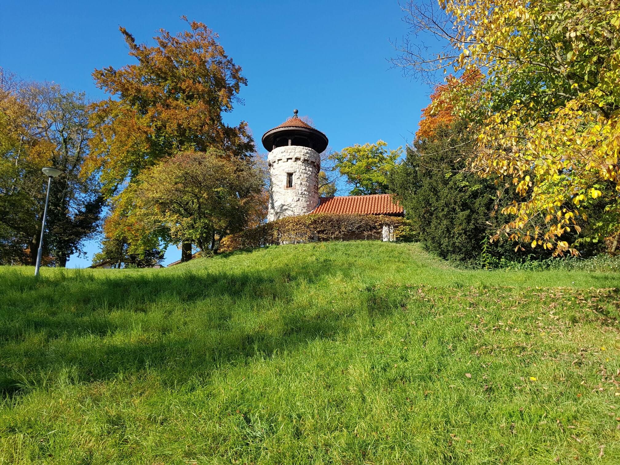
On the Schwarzwald-Nordrandweg from Mühlacker to Durlach
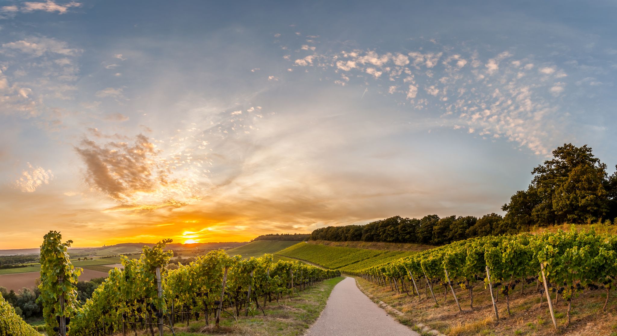
Cycling in the land of 1,000 hills in southern Germany – Kraichgau-Stomberg
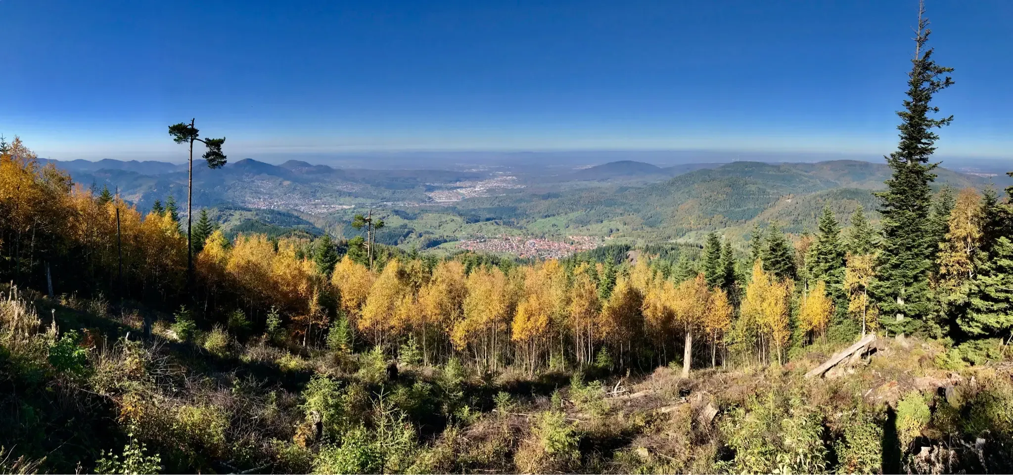
Autumnal hikes with a view in the northern Black Forest

Wander3Klänge: Einfach Los Wandern im Naturpark Stromberg-Heuchelberg
Other adventures around Mühlacker


Tips from the Community

It's simply wonderful here, from Weissach to Malmsheim there are always such wonderful plateaus
5
2

The "summit" is a must to "tick off"! There are great trails all around in a great area👍. "Seltsamonskis" just tick it off with "annoying constant liking"🤣
4
1

Beautiful juniper with some views.
1
0

Unfortunately, there is hardly anything to see of the old castle
0
3
The Baiselsberg is getting higher and higher, but it is already the "biggest"
6
0
The way to the place of the castle is hardly passable
2
2

Even if nothing can be seen of the former castle, you certainly have a beautiful view in spring or autumn
2
0

When the weather is good, you can see as far as the Odenwald from the viewing platform. A wonderful view over the Kraichgau. You can also find information about viticulture and some break areas with playgrounds here.
8
0
Frequently Asked Questions
What are the most scenic viewpoints around Mühlacker?
For breathtaking panoramic views, visit View from Derdinger Horn. At 270 meters altitude, it offers expansive vistas over the Kraichgau and Odenwald. Another excellent spot for views is the Feuerbacher Heide-Dickenberg Nature Reserve, known for its beautiful juniper heathland and occasional views. Additionally, Michaelsberg, southeast of Mühlacker, provides a panoramic view of the entire region from its summit.
Are there any historical sites among the elevated areas near Mühlacker?
Yes, the Celtic grave Hochdorf is a significant historical site. It features a reconstructed burial mound, originally built around 550 BC, with a diameter of 60 meters. The site offers a glimpse into the region's ancient past.
What is the highest point in the Stromberg region near Mühlacker?
The highest point in the Stromberg region is Baiselsberg — Highest Point in the Stromberg. While the summit itself doesn't offer a direct view, it's recognized as the highest elevation in the area and is known for a rewarding downhill trail.
Are there family-friendly hiking options among the elevated areas near Mühlacker?
Yes, several spots are suitable for families. The View from Derdinger Horn is considered family-friendly, offering an accessible viewing platform. The Celtic grave Hochdorf is also family-friendly, with a reconstructed burial mound that can be interesting for children. Additionally, the Feuerbacher Heide-Dickenberg Nature Reserve provides a pleasant natural setting for family walks.
What kind of natural features can I expect to see on hikes around Mühlacker?
The region around Mühlacker, part of the Kraichgau-Stromberg area, offers a diverse landscape. You'll find dense forests, especially leading up to elevated points like Michaelsberg and Schlierkopf Summit. The Feuerbacher Heide-Dickenberg Nature Reserve features unique heathland, species-rich meadows, and hedges. Many trails also follow the picturesque Enz River.
Are there easy hiking trails near the elevated areas of Mühlacker?
Yes, there are several easy hiking routes available. For example, the 'Auwiesen Ponds – Hill Sofa Vaihingen, Aurich loop' and the 'Narrow path along the Enz – Narrow Path to Kammertenberg loop' are both rated as easy. You can find more easy options in the Easy hikes around Mühlacker guide.
What outdoor activities can I do near the elevated areas around Mühlacker?
Besides exploring the elevated areas themselves, the region offers a variety of outdoor activities. You can find numerous hiking trails, including moderate options like the 'MÜ1 - Wanderdreiklang (lange Strecke)' and the 'Eppiniger Linien Weg – View of Maulbronn Monastery loop' in the Hiking around Mühlacker guide. Road cycling is also popular, with routes such as the 'Diefenbach Village Center loop' and the 'Nagold Valley Cycle Path – Nagold Valley Cycle Path loop' detailed in the Road Cycling Routes around Mühlacker guide.
What do visitors enjoy most about the elevated areas around Mühlacker?
Visitors particularly appreciate the panoramic views from spots like View from Derdinger Horn. The historical significance of sites like the Celtic grave Hochdorf also draws interest. Many enjoy the diverse terrain for hiking, from challenging ascents to pleasant walks through forests and heathlands, as well as the overall natural beauty of the Kraichgau-Stromberg region.
Is the Schlierkopf Summit worth visiting, and what can I expect?
The Schlierkopf Summit is a 449.6-meter high elevation within the Stromberg ridge. While the summit itself is surrounded by high forest and lacks a direct view, it's a notable peak for hikers. The ascent can be challenging in wet weather, and the descent towards Katzenbachsee is described as phenomenal, with small challenges and ravines.
Are there any specific regulations or permits required for hiking in the Enz district near Mühlacker?
Generally, no specific permits are required for hiking on public trails in the Enz district. However, it's always advisable to respect local regulations, especially within nature reserves like the Feuerbacher Heide-Dickenberg Nature Reserve, which are in place to protect the natural environment. Stick to marked paths and be mindful of any signage regarding protected areas.
Can I bring my dog on hiking trails around Mühlacker?
Many hiking trails in the Enz district are dog-friendly. However, it's crucial to keep dogs on a leash, especially in nature reserves, agricultural areas, and near wildlife. Always carry waste bags and ensure your dog does not disturb other hikers or animals. Specific rules might apply in certain protected areas, so look for local signage.
What is the best time of year to hike the elevated areas near Mühlacker?
The region is beautiful year-round, but spring and autumn offer particularly pleasant hiking conditions with mild temperatures and vibrant scenery. Spring brings blooming flora, while autumn showcases colorful foliage. Summer can be warm, making early morning or late afternoon hikes ideal. Winter hiking is possible, but trails might be slippery or muddy, especially on challenging ascents like the Schlierkopf Summit.
Most popular routes around Mühlacker
Most popular attractions around Mühlacker

Get inspired with the komoot mobile app


Explore more
See even more amazing summits around Mühlacker with these guides:
