The best walks and hikes around Głowaczów
4.3
(27)
352
hikers
54
hikes
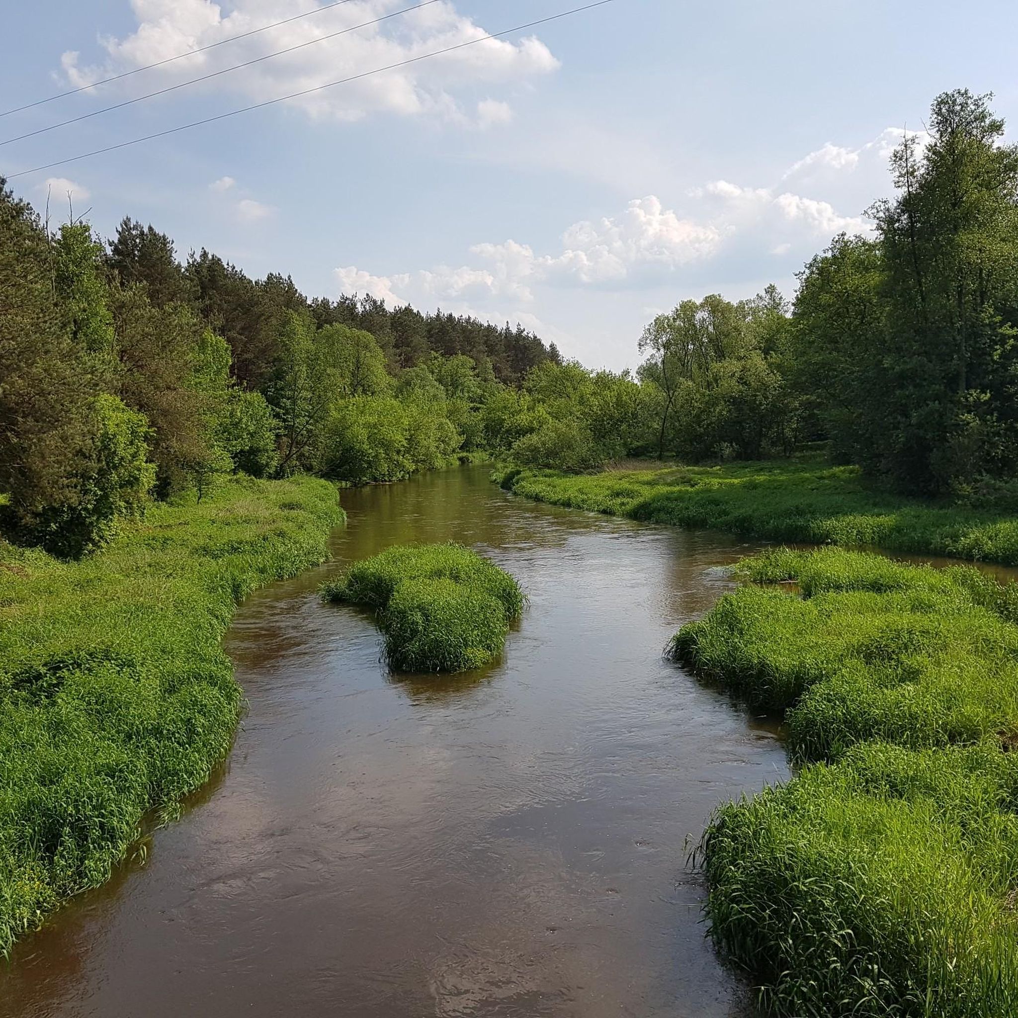
Hiking around Głowaczów offers a network of trails through varied terrain, characterized by forests, gentle hills, and nature reserves. The region's landscape includes areas like the Ponty Dęby Nature Reserve and Royal Springs, providing diverse natural settings for outdoor activities. Trails often follow established paths, suitable for exploring the local flora and fauna.
Best hiking trails around Głowaczów
- The most popular hiking route is Yellow Trail: Pionki PKP - Pionki Zachodnie PKP, a 14.3 miles (23.1 km) difficult trail…
Last updated: October 21, 2026
1
hikers
2.48km
00:39
20m
20m
Hike the moderate 1.5-mile Śródborze Trail loop in Kozienicki Landscape Park, featuring an oxbow lake and Devil's Bridge.
5.0
(9)
220
hikers
Moderate hike. Good fitness required. Easily walkable paths.

4.7
(3)
10
hikers
7.05km
01:48
30m
30m
Easy hike. Easily walkable paths.
5.0
(1)
6
hikers
4.10km
01:03
20m
20m
Easy hike. Easily walkable paths.
4.0
(2)
10
hikers
Moderate hike. Good fitness required. Easily walkable paths.
Get access to more routes and recommendations from other explorers.
Already have an account?
Our route recommendations are based on thousands of hikes, rides, and runs completed by other people on komoot.
Start today with a free account
Your next adventure awaits.
Tips from the Community

- Patron Saint of Foresters. A figurine/shrine funded in 2013 by the Kozienice Forest District.
0
0

On weekends it's crowded, so riding is out of the question.
0
0

You can light a bonfire all year round from prepared wood, and in summer there is a forest bar serving pea soup, drinks and ice cream.
0
0

There is a warning, but the structure still serves its original purpose... the thrill of passing through is definitely there
0
0

Nice paths, grill bar, shelters and benches
0
0

Beautiful view. You can rest for a while
0
0
Out of use.
0
0

Attention! The bridge is out of order and may collapse! Before entering the bridge, there are clear warnings not to enter it, it is forbidden.
0
0
Frequently Asked Questions
How many hiking trails are available around Głowaczów?
There are over 40 hiking routes recorded in the Głowaczów area on komoot, offering a wide range of options for different skill levels and preferences. This includes 25 easy trails, 18 moderate, and 3 difficult routes.
Are there easy, family-friendly hiking options in Głowaczów?
Yes, Głowaczów offers many easy and family-friendly trails. A great option is the Royal Springs – Royal Springs Trail loop from Rezerwat Źródło Królewskie, which is 2.8 miles (4.5 km) long and takes about 1 hour 10 minutes to complete, leading through the scenic Royal Springs area.
What kind of natural attractions can I expect to see along the trails?
The hiking trails around Głowaczów often lead through dense woodlands and protected nature reserves. You can explore areas like the Ponty Dęby Nature Reserve and the Royal Springs. Notable natural highlights include the Brzeźniczka Nature Reserve and the Natural Oxbow Lake in Kozienicki Landscape Park.
Are there any challenging long-distance hikes in the region?
For those seeking a challenge, the Yellow Trail: Pionki PKP - Pionki Zachodnie PKP is a difficult 14.3 miles (23.1 km) route. It connects two train stations and offers a substantial journey through the area, typically taking nearly 6 hours to complete.
Can I find circular hiking routes around Głowaczów?
Yes, Głowaczów has several excellent circular routes. The Devil's Bridge – Ponty Dęby Nature Reserve loop from Przejazd is an easy 4.4 miles (7.1 km) loop that explores the natural beauty of the Ponty Dęby Nature Reserve. Another option is the Royal Springs Trail loop from Augustów.
What do other hikers say about the trails in Głowaczów?
The hiking routes in Głowaczów are highly rated by the komoot community, with an average score of 4.3 stars from over 20 reviews. Hikers often praise the diverse natural settings, dense woodlands, and the variety of options for different fitness levels.
Are there any historical or cultural landmarks near the hiking trails?
Beyond natural beauty, you can discover historical sites. The Zamoyski Palace in Trzebień is a notable historical site. You might also encounter monuments like the Bartny Kąt Beekeepers' Monument or the King Władysław Jagiełło Monument.
What is the best time of year to go hiking in Głowaczów?
The best time for hiking in Głowaczów is generally from spring to autumn (April to October) when the weather is mild and the natural landscapes are vibrant. Summer offers lush greenery, while autumn brings beautiful fall colors to the forests. Winter hiking is possible, but trails may be covered in snow or ice, requiring appropriate gear.
Are there any trails that offer viewpoints or scenic vistas?
While Głowaczów is characterized by gentle hills and dense forests rather than dramatic mountain peaks, many trails offer picturesque views within the woodlands and across open areas. The nature reserves, such as Ponty Dęby, provide serene natural vistas. Look for trails that pass through clearings or along riverbanks for wider perspectives.
Are dogs allowed on the hiking trails in Głowaczów?
Generally, dogs are welcome on most hiking trails in Głowaczów, especially in the less restricted forest areas. However, it's always recommended to keep dogs on a leash, especially when passing through nature reserves or areas with wildlife, and to clean up after them. Check local signage for any specific restrictions in certain protected zones.
What are the typical trail conditions and terrain like?
The trails in Głowaczów primarily consist of established paths through dense woodlands and gentle hills. The terrain is generally soft forest floor, dirt paths, and sometimes gravel. While there are no significant ascents, some routes may have slight inclines. Conditions can vary with weather, becoming muddy after rain.
Are there any lakes or water features accessible via hiking trails?
Yes, the region around Głowaczów features several beautiful lakes and ponds. You can hike to the Kozienickie Lake or the Brzeźniczka Pond. These water bodies offer tranquil spots for rest and enjoying the scenery.
Most popular attractions around Głowaczów

Get inspired with the komoot mobile app


Explore more
Browse the best Hikes in other regions.
