The best MTB trails around gmina Wiśniowa
4.3
(235)
1,470
riders
124
rides
Mountain biking around gmina Wiśniowa offers diverse terrain within the Beskid Wyspowy, Beskid Makowski, and Wiśnickie Foothills. The region is characterized by a mix of rolling hills, dense forests, and valleys, providing varied elevation and landscapes for MTB routes. This area features dedicated mountain bike trails and challenging sections for different skill levels, making it a notable destination for mountain biking in Poland.
Best mountain bike trails around gmina Wiśniowa
- The most popular mountain bike trail is Gnome Statue Rest…
Last updated: October 27, 2026
5.0
(6)
28
riders
44.6km
02:40
300m
300m
Moderate mountain bike ride. Good fitness required.
4.0
(1)
7
riders
38.9km
04:19
1,490m
1,490m
Hard mountain bike ride. Very good fitness required. Advanced riding skills necessary.

4
riders
30.8km
03:27
1,110m
1,110m
Hard mountain bike ride. Very good fitness required. Advanced riding skills necessary. Some portions of the route may require you to push your bike.
4.0
(2)
8
riders
13.8km
01:32
550m
550m
Moderate mountain bike ride. Good fitness required. Advanced riding skills necessary.
5.0
(1)
5
riders
8.94km
01:08
400m
400m
Moderate mountain bike ride. Good fitness required.
Get access to more routes and recommendations from other explorers.
Already have an account?
Our route recommendations are based on thousands of hikes, rides, and runs completed by other people on komoot.
Start today with a free account
Your next adventure awaits.
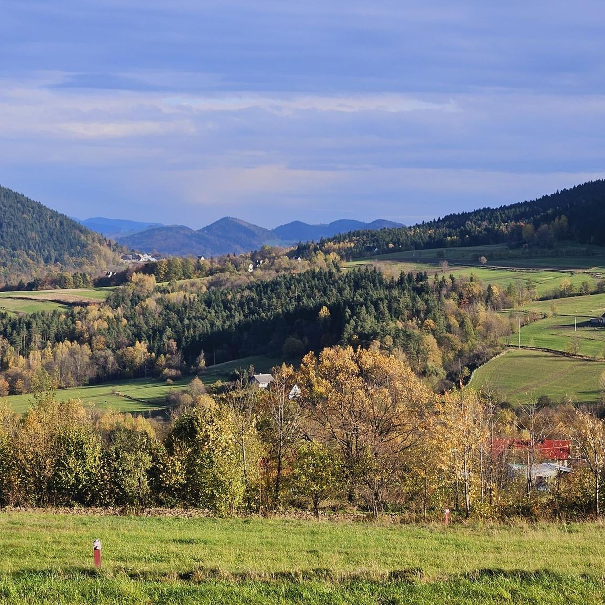
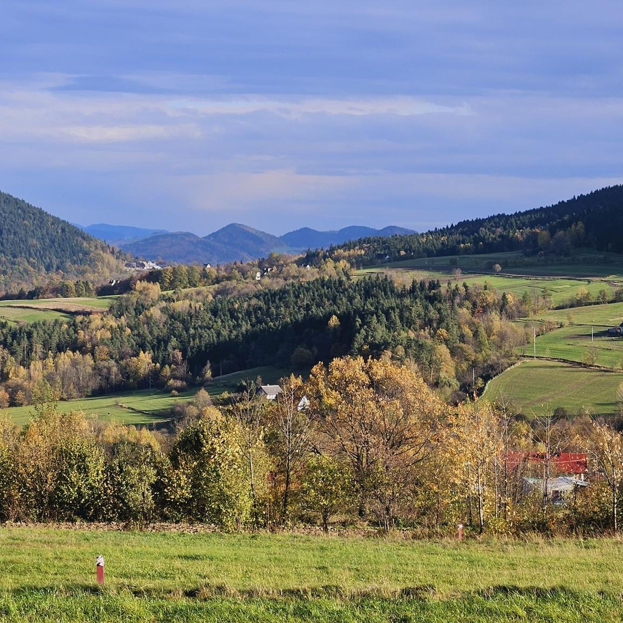

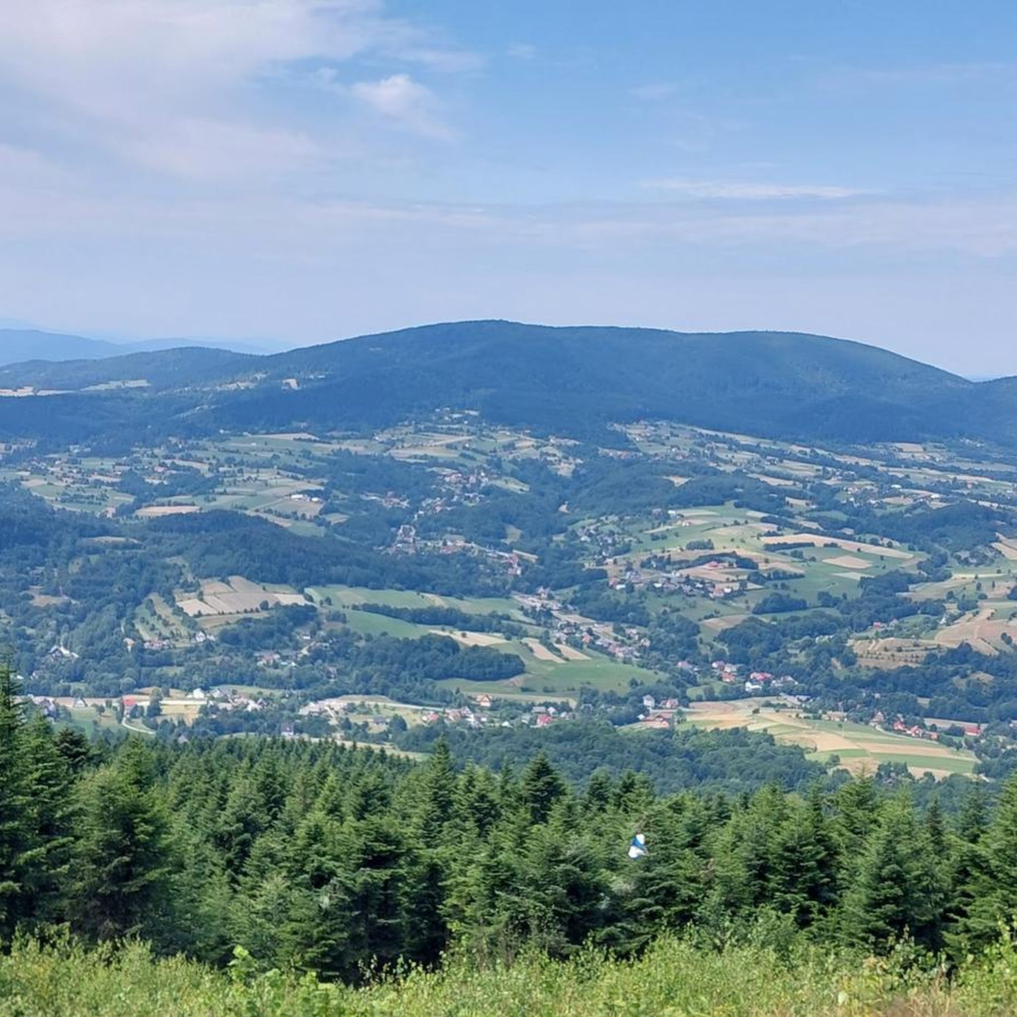
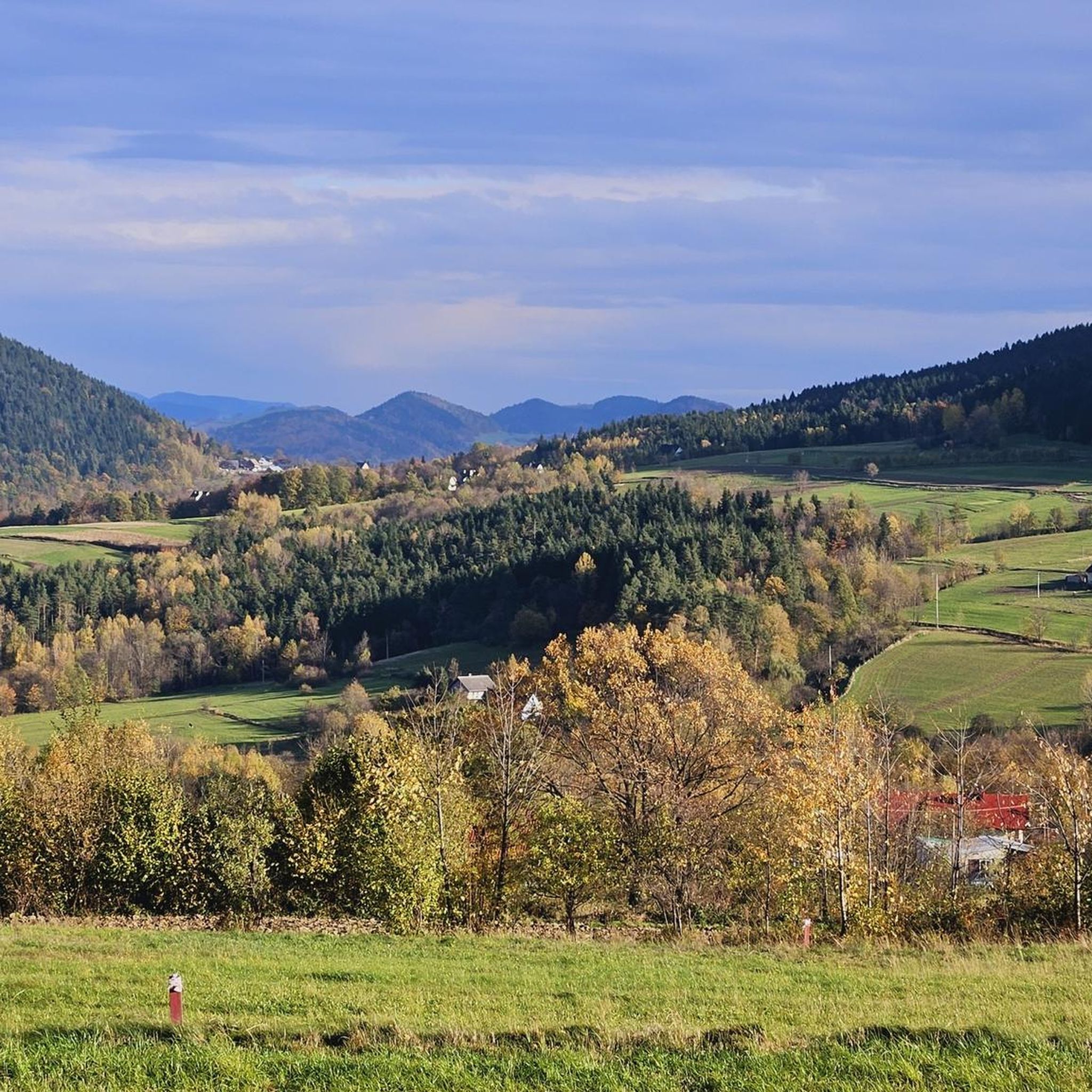

Tips from the Community

For MTB, I suggest a loop from Myślenice through Chełm, Kamiennik, Kudłacze, Łysina, and Lubomir, back to Myślenice. It's a mountain trip with forest climbs, descents, and a few places to rest.
2
0

More information and photos: https://pl.wikipedia.org/wiki/Kamiennik_P%C3%B3%C5%82nocny https://mapa-turystyczna.pl/node/kamiennik#49.79318/20.05477/16 https://bramabeskidow.pl/211-bramamyslenicka-kamiennik-polnocny-785-m-npm https://malopolska.szlaki.pttk.pl/2324-pttk-malopolska-kamiennik-polnocny https://kartaturysty.pl/malopolskie/kamiennik-polnocny/
2
0
More information and photos: https://pl.wikipedia.org/wiki/%C5%81ysina_(Beskid_Wyspowy) https://mapa-turystyczna.pl/node/lysina#49.77627/20.04885/14 https://odtur.pl/atrakcje/weglowka-lysina-891-m-n-p-m--59247.html https://goryaktywnie.pl/lysina https://malopolska.szlaki.pttk.pl/2285-pttk-malopolska-lysina
2
0
More information and photos: https://pl.wikipedia.org/wiki/Prze%C5%82%C4%99cz_Sucha_(Pasmo_Lubomira_i_%C5%81ysiny) https://summitgo.eu/punkt-widokowy/przelecz-sucha https://mapa-turystyczna.pl/node/sucha-przelecz#49.23099/19.98302/14
2
0
More information and photos: https://pl.wikipedia.org/wiki/Sucha_Polana https://bramabeskidow.pl/318-bramamyslenicka-sucha-polana-w-lipniku https://malopolska.szlaki.pttk.pl/2019-pttk-malopolska-sucha-polana https://pl.wikipedia.org/wiki/Prze%C5%82%C4%99cz_Sucha_(Pasmo_Lubomira_i_%C5%81ysiny) https://mapa-turystyczna.pl/node/przelecz-sucha#49.78303/20.05091/14
2
0
More information and photos: https://pl.wikipedia.org/wiki/Lubomir_(szczyt) https://kgp.info.pl/wykaz-szczytow/lubomir/ https://mapa-turystyczna.pl/node/lubomir#49.76685/20.05940/14 https://goryaktywnie.pl/lubomir https://gorskim-szlakiem.pl/lubomir-latwy-szlak-na-szczyt-beskid-makowski/ https://plannawypad.pl/lubomir-szlak-beskid-makowski/
2
0
More information and photos: https://obserwatorium.weglowka.pl/index.php/o-nas https://pl.wikipedia.org/wiki/Obserwatorium_Astronomiczne_im._Tadeusza_Banachiewicza_na_Lubomirze https://bramabeskidow.pl/173-bramamyslenicka-obserwatorium-astronomiczne-im-tadeusza-banachiewicza-na-lubomirze https://visitmalopolska.pl/obiekt/-/poi/obserwatorium-astronomiczne-im-tadeusza-banachiewicza-lubomir?inheritRedirect=true https://odtur.pl/atrakcje/weglowka-obserwatorium-astronomiczne-im-tadeusza-banachiewicza-na-lubomirze-49980.html https://malopolskatogo.pl/artykul/obserwatorium-astronomiczne-na-lubomirze/
2
0

The turn of the red trail towards Łysina before the Observatory to the right.
0
0
Frequently Asked Questions
How many mountain bike trails are available in gmina Wiśniowa?
There are over 100 mountain bike trails around gmina Wiśniowa, offering a diverse range of experiences. These include 7 easy routes, 69 moderate routes, and 32 difficult routes, catering to various skill levels.
What kind of terrain can I expect on mountain bike trails in gmina Wiśniowa?
The terrain in gmina Wiśniowa is highly varied, situated within the Beskid Wyspowy, Beskid Makowski, and Wiśnickie Foothills. You'll encounter a mix of rolling hills, dense forests, and valleys, providing diverse elevation changes and landscapes. Expect both challenging ascents and scenic descents.
Are there any challenging mountain bike trails for experienced riders?
Yes, gmina Wiśniowa offers several challenging trails for experienced riders. For instance, the Gnome Statue Rest Stop – Dry Clearing loop from Kornatka is a difficult 39.3 km route with significant elevation gain. Another demanding option is the Śnieżnica Summit – Mount Ćwilin loop from Kasina Wielka, which is 30.6 km long and offers panoramic views from mountain summits.
What are some good options for moderate mountain bike rides?
For moderate rides, you can explore trails like the Dry Clearing – Kamiennik Północny loop from Poręba, a 9.1 km route through forests and hilly terrain. Another popular moderate option is the Dry Clearing – Kudłacze PTTK Mountain Hut loop from Poręba, which is 12.3 km long.
Are there any family-friendly mountain bike trails in gmina Wiśniowa?
While specific family-friendly routes are not detailed, the region does offer 7 easy mountain bike trails. These routes are generally less demanding and can be a good starting point for families or beginners looking for a more relaxed ride through the scenic foothills and forests.
What natural features or viewpoints can I expect to see along the trails?
The trails often lead through extensive forests and offer numerous viewpoints. From peaks like Ciecień, you can enjoy panoramic views of the Beskid Wyspowy and Gorce Mountains. On clear days, the Łysina and Lubomir ranges provide vistas of Podhale, Babia Góra, and even the Tatra Mountains. You might also catch glimpses of Lake Dobczyckie to the north.
What are some interesting landmarks or attractions near the mountain bike routes?
Along or near the mountain bike routes, you can find several interesting landmarks. The Kudłacze PTTK Mountain Hut is a popular stop. You can also visit historical sites like Dobczyce Castle and the Dobczyce Open-Air Museum, which are accessible by bike. For natural highlights, consider reaching Śnieżnica Summit or Lubomir (804 m).
What do other mountain bikers say about the trails in gmina Wiśniowa?
The mountain bike trails in gmina Wiśniowa are highly rated by the komoot community, with an average score of 4.5 stars from over 190 reviews. Many riders praise the varied mountain ranges, extensive forests, and undulating foothills, highlighting the diverse options available for different ability levels.
Is there a bike park nearby for gravity-assisted mountain biking?
Yes, for those interested in gravity-assisted mountain biking, the Kasina Bike Park in Beskid Wyspowy is a major attraction nearby. It features nine paths of varying profiles and difficulty levels, served by a modern chairlift, making it a significant destination for downhill and enduro riders.
Are there any circular mountain bike routes available?
Yes, many of the mountain bike routes in gmina Wiśniowa are designed as loops. Examples include the Gnome Statue Rest Stop – Dry Clearing loop from Kornatka and the Antalya Pizza & Kebab – Dry Clearing loop from Trzemeśnia, offering convenient circular options for your ride.
What is the best time of year for mountain biking in gmina Wiśniowa?
The best time for mountain biking in gmina Wiśniowa is typically from spring through autumn, when the weather is mild and the trails are dry. The region's diverse flora and fauna are particularly vibrant during these seasons, enhancing the scenic beauty of your ride. Winter riding may be possible but can be challenging due to snow and ice.
Are there options for parking near the trailheads?
While specific parking locations for each trailhead are not detailed, the region is well-equipped for outdoor tourism. It is generally advisable to check the starting points of individual routes on komoot for information on nearby parking facilities or designated areas for trail access.
Most popular routes around gmina Wiśniowa
Most popular attractions around gmina Wiśniowa

Get inspired with the komoot mobile app


Explore more
Browse the best MTB trails in other regions.
