The best running trails around gmina Tokarnia
4.5
(22)
2,086
runners
95
runs
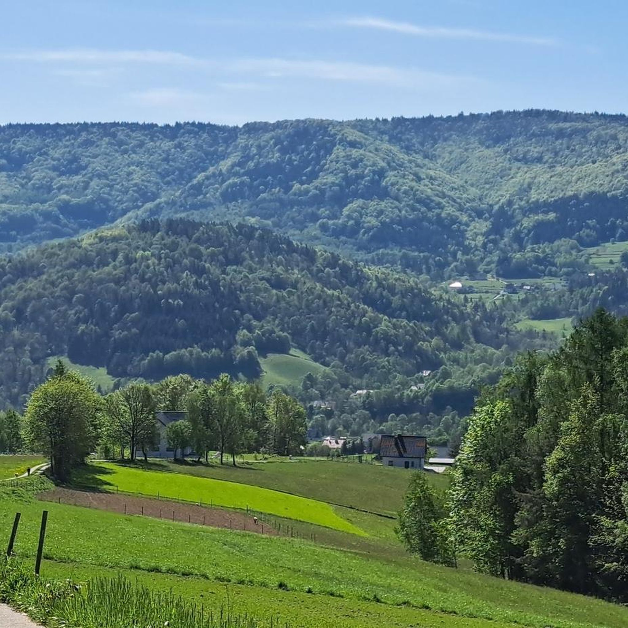
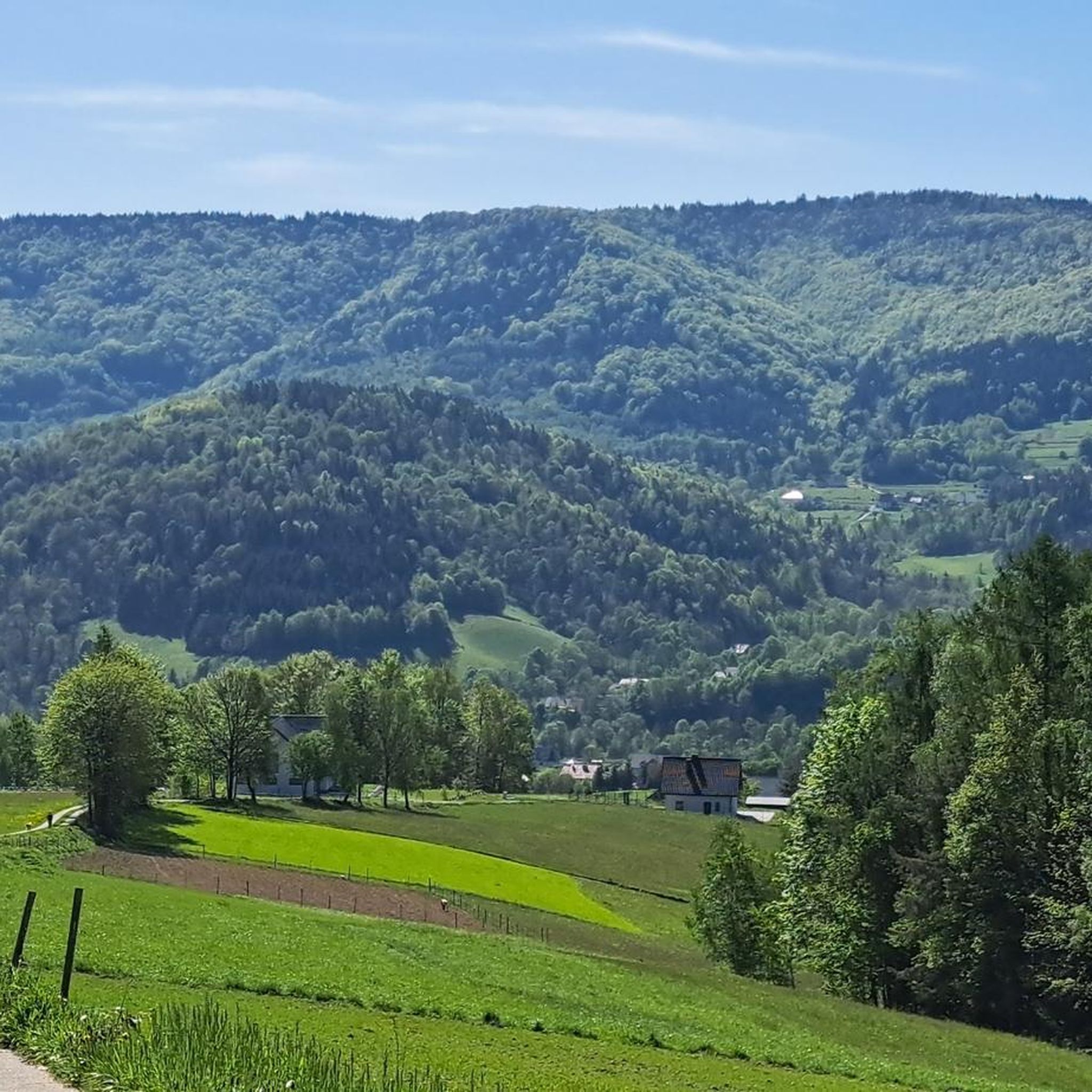
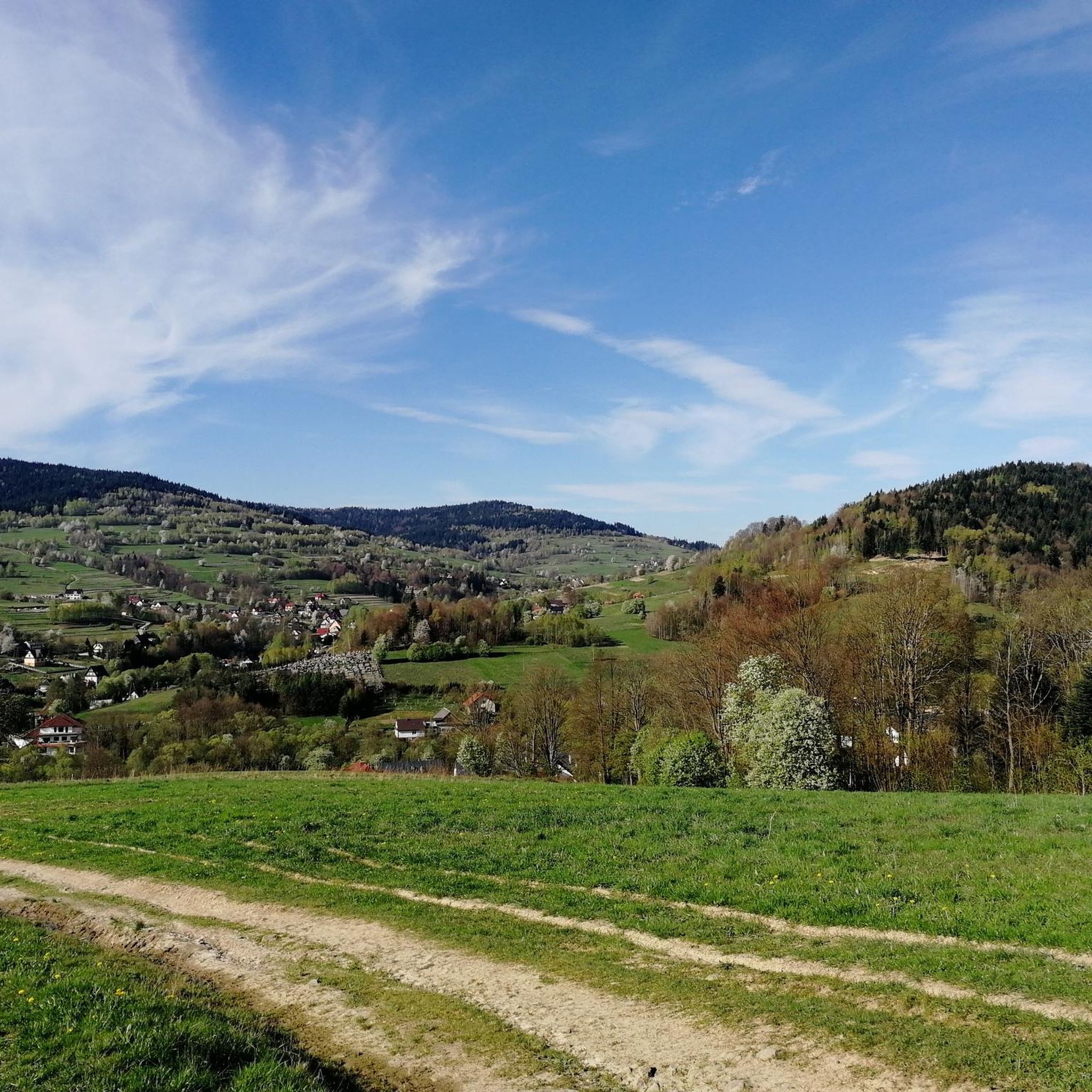
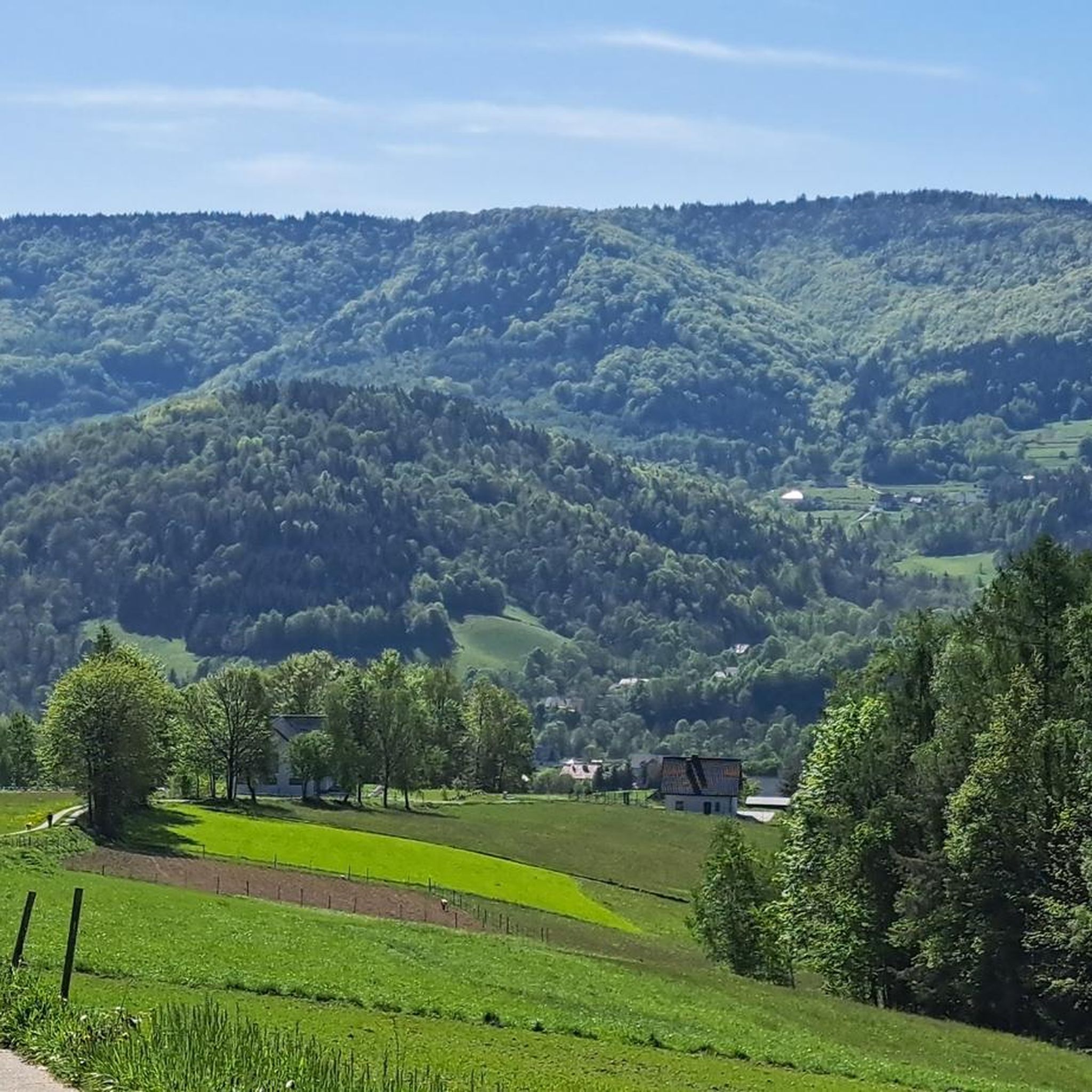
Jogging around gmina Tokarnia offers diverse landscapes at the junction of the Beskid Makowski and Beskid Wyspowy mountain ranges. The region features rolling hills, extensive forests, and the valley of the Krzczonówka stream. Prominent peaks like Koskowa Góra provide varied elevation changes and panoramic views. This area offers a network of trails suitable for different jogging preferences.
Best jogging routes around gmina Tokarnia
- The most popular jogging route is Kudłacze PTTK Mountain Hut loop from Pcim, a 8.9 miles…
Last updated: July 14, 2026
5.0
(1)
145
runners
43.0km
06:16
2,030m
2,030m
Hard run. Very good fitness required. Mostly accessible paths. Some sure footedness required.
22
runners
14.4km
01:52
470m
470m
Hard run. Very good fitness required. Mostly accessible paths. Some sure footedness required.

Sign up for free
19
runners
16.8km
02:32
830m
830m
Hard run. Very good fitness required. Mostly accessible paths. Some sure footedness required.
15
runners
35.3km
05:14
1,810m
1,810m
Hard run. Very good fitness required. Mostly accessible paths. Some sure footedness required.
7
runners
34.1km
04:39
1,290m
1,290m
Hard run. Very good fitness required. Mostly accessible paths. Some sure footedness required.
Get access to more routes and recommendations from other explorers.
Sign up for free
Already have an account?
Our route recommendations are based on thousands of hikes, rides, and runs completed by other people on komoot.
Start today with a free account
Your next adventure awaits.
Login or Signup


Tips from the Community

Near the summit there isn't much to see, but it's worth going a bit further along the red trail, and there awaits a fabulous view :)
0
0

This peak is included in the Crown of Polish Mountains - the highest peak of the Beskid Makowski. There is an astronomical observatory on the peak - open at certain hours, but not always. Lots of places to sit and shelters. The peak is forested, so you won't see much from it - but you have another peak of the Crown counted.
0
0
A beautiful shelter at an altitude of 730m above sea level in the Lubomir and Łysina Range of the Beskid Średni. Many trails intersect here, so as a base camp this place is great. Nice, modern rooms for overnight stays. There is a kitchen, but you have to bring your own food - they don't serve food here. More at https://kudlacze.pttk.pl/index.html
0
1

The peak itself is in the forest (wooden plaque on the tree), but nearby there are many different viewpoints with beautiful panoramas. Below the peak, the Weronika Chapel and Wrzosowy Dwór (restaurant). Super easy approach.
0
0

At the shelter you can only pay in cash!
0
0

Nice route, but in places definitely for MTB and not gravel. Especially the last section of the trip to Lubomir. Lubomir - Shaggy also rather MTB, or 50mm tires with maximum low pressure. The second weak section is a push past Stróże to the red Beskid trail, the trail itself is also rather suitable for MTB, but the end is a premium gravel section, Babica - Sołtysi Dział, whoever did not go that way should regret it.
0
0

The peak belongs to the Crown of Polish Mountains. On the MSB route (red trail). At the top there is an astronomical observatory, a lot of benches and a shed.
0
0
Good food. Cool place to rest. Mini playground for children. You should take your own rubbish with you (after the things brought). You can drop off the rubbish resulting from purchases at the hostel.
1
0
Frequently Asked Questions
How many running routes are available in gmina Tokarnia?
There are nearly 80 running routes available in gmina Tokarnia, offering a wide range of options for different preferences and fitness levels. These routes traverse diverse landscapes, from rolling hills to lush forests and mountainous terrain.
Are there easy running trails for beginners in gmina Tokarnia?
Yes, while many routes in gmina Tokarnia are challenging, there are a few easier options available. The region's varied terrain includes gentle slopes and accessible paths, particularly in the valleys of streams like Krzczonówka, which are suitable for more relaxed jogs or beginners.
What kind of terrain can I expect on the jogging routes in gmina Tokarnia?
The jogging routes in gmina Tokarnia feature diverse terrain, ranging from gentle slopes and accessible paths to challenging inclines. You'll encounter rolling hills, extensive forests, and mountainous sections, characteristic of the Beskid Makowski and Beskid Wyspowy ranges. Surfaces can vary, with some routes having mostly paved sections and others being natural forest paths.
Are there any routes with significant elevation gain for experienced runners?
Absolutely. Gmina Tokarnia is known for its mountainous terrain, offering numerous routes with significant elevation gain. For example, the Kudłacze PTTK Mountain Hut loop from Pcim and the Szczebel – Mała Góra loop from Lubień are both difficult routes featuring substantial elevation changes, perfect for experienced runners seeking a challenge.
What natural features or landmarks can I see while running in gmina Tokarnia?
Gmina Tokarnia offers stunning natural beauty. You can encounter prominent peaks like Koskowa Góra, Parszywka, and Szczebel, which often provide panoramic views. The region is rich in diverse mountain forest flora. Notable highlights include the Lubomir (804 m) – Highest Peak of Beskid Makowski, the Lubomir Astronomical Observatory, and the Szczebel (977 m) summit.
Are there any circular running routes in the area?
Yes, many of the running routes in gmina Tokarnia are circular, allowing you to start and finish at the same point. Examples include the challenging Mały Szczebel – Szczebel loop from Lubień, which takes you through mountain peaks and forests, and the longer Szczebel – Lubogoszcz loop from Lubień.
What do other runners say about the trails in gmina Tokarnia?
The running routes in gmina Tokarnia are highly regarded by the komoot community, with an average rating of 4.2 stars from over 10 reviews. Runners often praise the diverse landscapes, the challenge of the mountainous terrain, and the serene environment of the extensive forests.
Can I find routes that offer scenic viewpoints?
Yes, many trails in gmina Tokarnia lead to picturesque spots with expansive panoramas. The region's prominent peaks, such as Koskowa Góra and Parszywka, offer numerous viewpoints, sometimes extending to the Beskid Wyspowy, Gorce, and Tatra Mountains. The viewpoint above Więciórka Polana is also noted for its beautiful vistas.
Are there any natural monuments to explore near the running paths?
Beyond the peaks, gmina Tokarnia also features interesting natural monuments. You can find the Sucha Pass Memorial and Meadow, the unique Stone run on Luboń Wielki, and the Zimna Dziura Cave, offering additional points of interest during your runs.
What is the best time of year for running in gmina Tokarnia?
Gmina Tokarnia offers excellent running conditions throughout much of the year. Spring and autumn provide pleasant temperatures and vibrant scenery with lush greenery or colorful foliage. Summer is also popular, though some mountain routes might be more challenging in warmer weather. Winter running is possible, but trails may require appropriate gear due to snow and ice.
Are there any very long-distance running options in gmina Tokarnia?
For those looking for longer runs, gmina Tokarnia provides several extensive routes. The Parszywka loop from Stróża is a challenging 38.4 km (23.9 miles) trail, and the Szczebel – Lubogoszcz loop from Lubień covers 35.4 km (22.0 miles), both offering significant distances and elevation.
Most popular routes around gmina Tokarnia
Most popular attractions around gmina Tokarnia

Get inspired with the komoot mobile app


Explore more
Browse the best Running Trails & Routes in other regions.
