The best walks and hikes around Jodłownik
4.7
(487)
10,996
hikers
12
hikes
Hiking around Jodłownik offers diverse landscapes within Poland's Powiat Limanowski, characterized by significant mountain ranges and natural features. The region includes peaks like Lubomir (804 m) and Mogielnica (1170 m), the highest point in the Beskid Wyspowy range. Terrain varies from forested slopes to open clearings, with notable natural monuments such as Devil's Stone. Mountain passes like Sucha Pass (710 m) provide trailheads and resting spots.
Best hiking trails around Jodłownik
- The most popular hiking route is Wooden Gazebo –…
Last updated: July 10, 2026
5.0
(1)
34
hikers
11.0km
03:35
480m
480m
Moderate hike. Good fitness required. Easily-accessible paths. Suitable for all skill levels.
4.0
(1)
22
hikers
Moderate hike. Good fitness required. Easily-accessible paths. Suitable for all skill levels.

Sign up for free
15
hikers
5.89km
02:05
320m
320m
Moderate hike. Good fitness required. Easily-accessible paths. Suitable for all skill levels.
13
hikers
5.29km
01:50
260m
260m
Easy hike. Great for any fitness level. Easily-accessible paths. Suitable for all skill levels.
8
hikers
5.86km
02:07
340m
340m
Moderate hike. Good fitness required. Easily-accessible paths. Suitable for all skill levels.
Get access to more routes and recommendations from other explorers.
Sign up for free
Already have an account?
Our route recommendations are based on thousands of hikes, rides, and runs completed by other people on komoot.
Start today with a free account
Your next adventure awaits.
Login or Signup
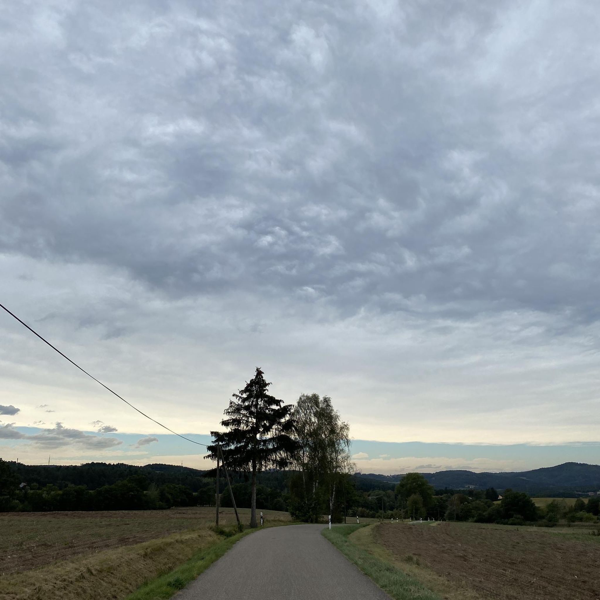
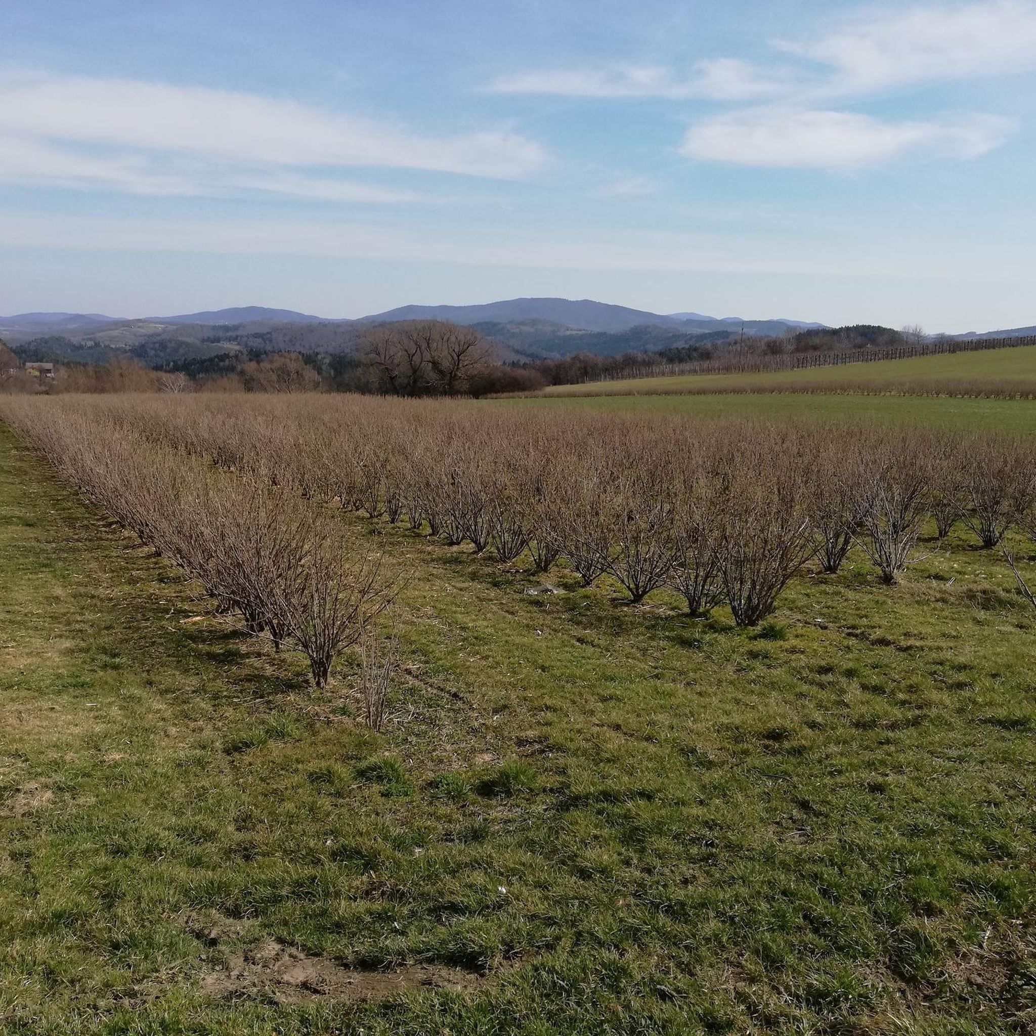
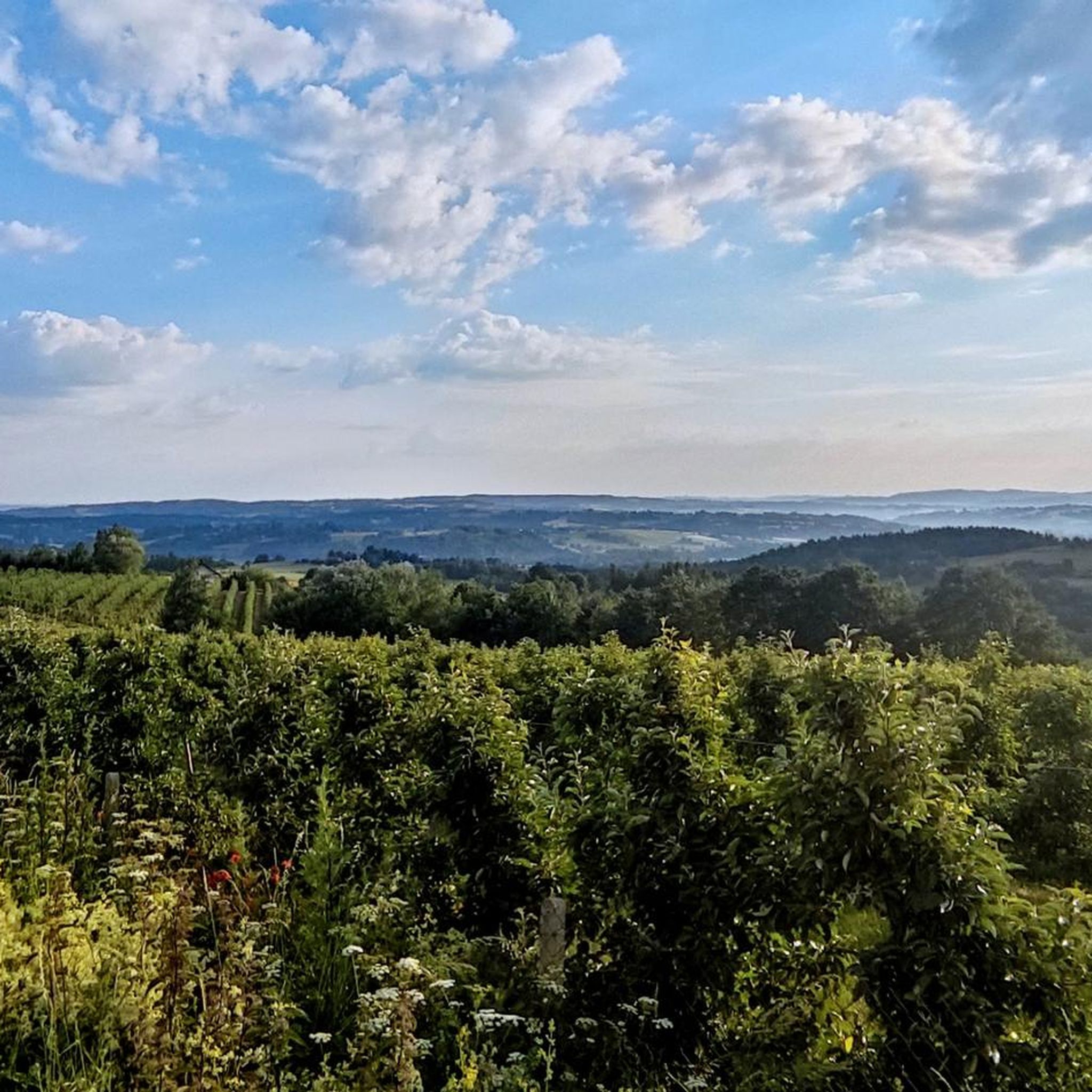

Tips from the Community

Summit plaque. As part of the "102 Islands of the Beskid Wyspowy" badge
0
0

There is also a place for a bonfire nearby.
1
0
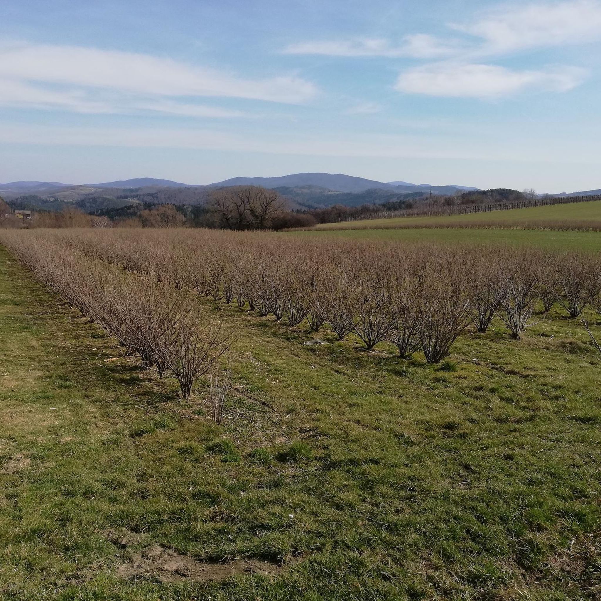
In the distance you can also see Babia Góra
1
0

Frequently Asked Questions
What kind of hiking trails can I expect around Jodłownik?
Jodłownik offers a diverse range of hiking trails, from forested slopes to open clearings, with options for easy, moderate, and difficult routes. You'll find paths leading to significant mountain peaks like Lubomir and Mogielnica, as well as routes passing natural monuments and scenic mountain passes.
Are there any easy hiking trails suitable for beginners or families in Jodłownik?
Yes, Jodłownik has trails suitable for various skill levels. For an easier option, consider the Kostrza Summit – Parking loop from Kostrza, which is 5.3 km long. The region's mountain passes, like Sucha Pass, also offer accessible areas for family picnics and shorter walks.
What are some notable natural attractions or landmarks to see while hiking in Jodłownik?
The Jodłownik area is rich in natural and historical landmarks. You can explore the Lubomir (804 m), the highest peak of Beskid Makowski, or visit the Sucha Pass Memorial and Meadow, which features a shelter and a monument. Don't miss the intriguing Rock mushroom, a designated natural monument.
Are there any circular hiking routes available in Jodłownik?
Yes, many of the trails around Jodłownik are designed as loops. A popular moderate circular route is the Wooden Gazebo – Ławka Stanisława Viewpoint loop from Ciecień, which covers 9.4 km. Another option is the Parking – Kostrza Summit loop from Kostrza, a moderate 5.9 km trail.
What do other hikers say about the trails in Jodłownik?
The hiking routes in Jodłownik are highly rated by the komoot community, with an average score of 4.7 stars from over 400 reviews. Hikers often praise the varied terrain, the well-maintained paths, and the scenic viewpoints, especially those offering panoramic views of the Tatras and Gorce from peaks like Mogielnica.
Are there any mountain huts or places to rest along the trails?
Yes, the region provides amenities for hikers. The Kudłacze PTTK Mountain Hut is a good place to rest and offers food. Additionally, mountain passes like Sucha Pass often feature clearings with shelters, providing convenient spots for a break or a picnic.
What is the highest peak I can hike to in the Jodłownik area?
The highest peak in the immediate Jodłownik area is Mogielnica (1170 m), which is the highest point in the Beskid Wyspowy range. A relatively new observation tower at its summit offers panoramic views on clear days. The green trail from Przełęcz Rydza-Śmigłego is a popular, though demanding, route to its summit.
How many hiking routes are there in Jodłownik?
There are over a dozen hiking routes documented around Jodłownik, catering to various difficulty levels. This includes 1 easy, 11 moderate, and 1 difficult trail, ensuring options for every hiker.
Are there any trails that offer significant viewpoints?
Absolutely. Peaks like Mogielnica offer panoramic views from its observation tower. Additionally, routes such as the Ławka Stanisława Viewpoint – Wooden Gazebo loop from Szczyrzyc are specifically named for their scenic viewpoints, providing rewarding vistas of the surrounding landscape.
What is the typical terrain like on Jodłownik's hiking trails?
The terrain around Jodłownik is quite varied. You'll encounter forested slopes, open clearings, and paths that can be steep and demanding, especially on routes to higher peaks like Mogielnica. Solid trekking shoes are recommended for many of the trails.
Are there any historical or memorial sites along the hiking routes?
Yes, the region has historical significance. The Sucha Pass Memorial and Meadow features a monument commemorating local Home Army partisans. You can also find the Generations Meeting Monument on Rydz-Śmigły Pass, adding a historical dimension to your hike.
Can I find longer, more challenging hikes in Jodłownik?
For those seeking a longer and more challenging experience, Jodłownik offers routes like the Wooden Gazebo – Ławka Stanisława Viewpoint loop from Cmentarz wojenny nr 362 – Szczyrzyc. This trail is 15.3 km long and typically takes around 4 hours 50 minutes to complete, leading through varied terrain.
Most popular routes around Jodłownik
Most popular attractions around Jodłownik

Get inspired with the komoot mobile app


Explore more
Browse the best Hikes in other regions.
