The best walks and hikes around Konjščina
4.6
(45)
209
hikers
9
hikes
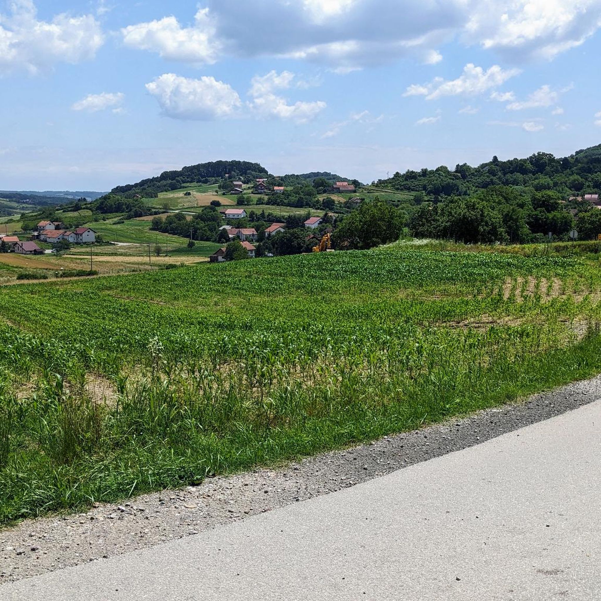
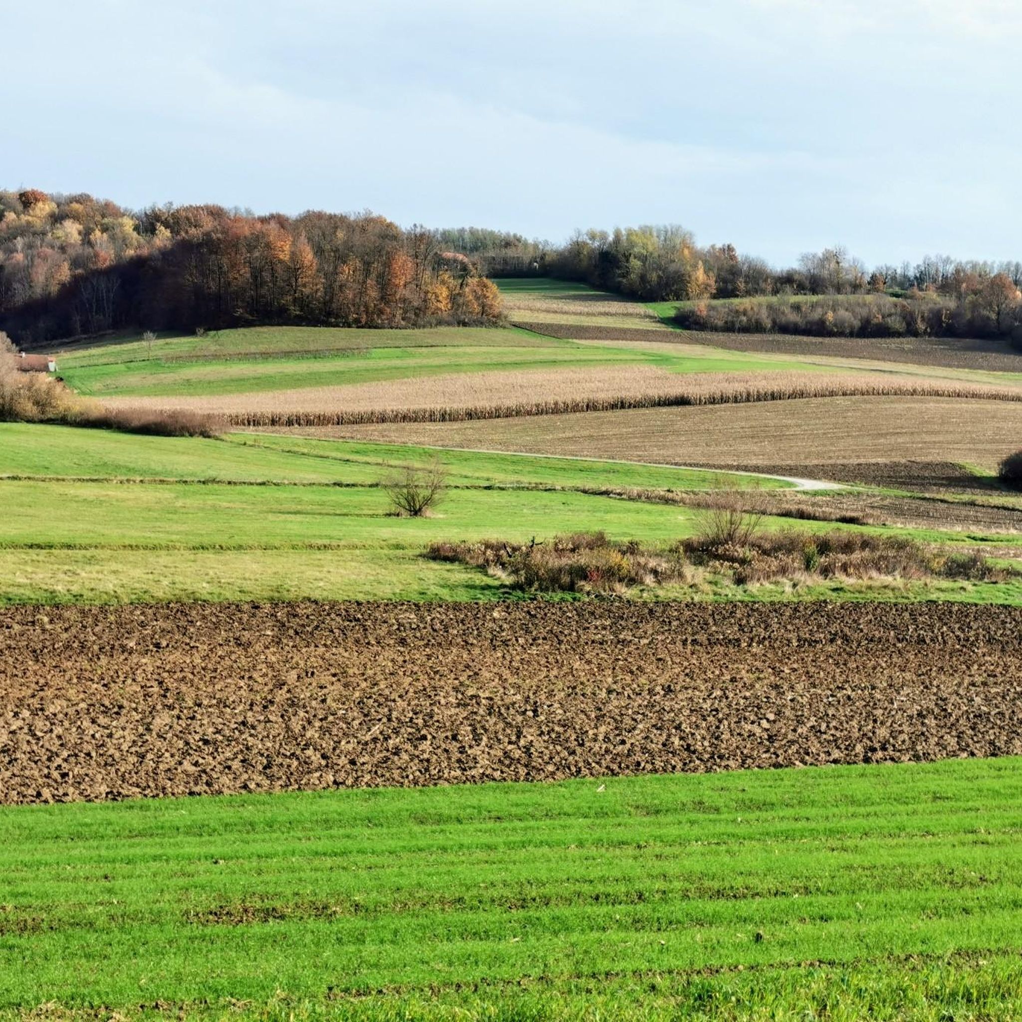
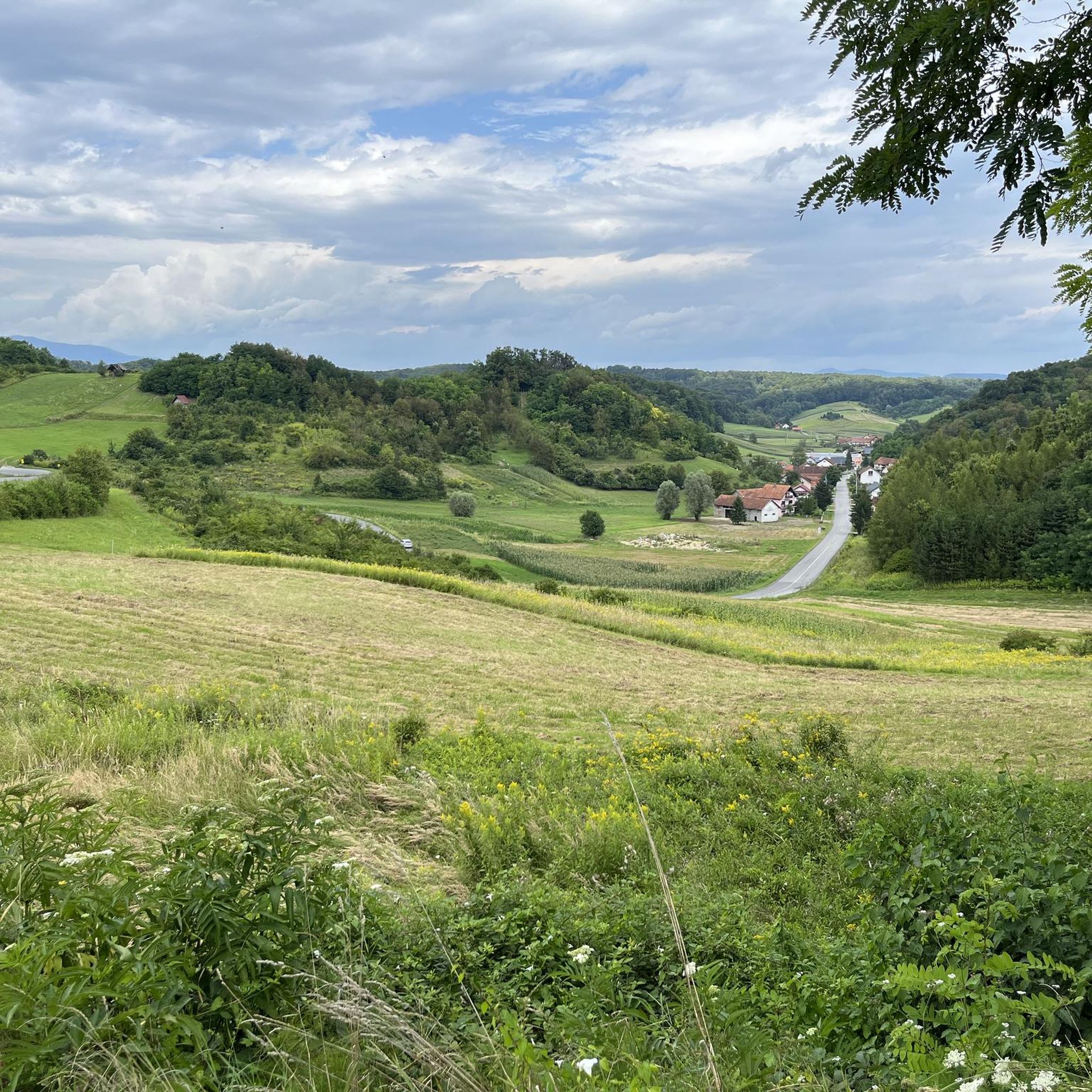
Hiking around Konjščina, a village in Krapina-Zagorje County, northern Croatia, offers access to the scenic Zagorje region. This area is characterized by rolling hills, forested slopes, and mountainous terrain, providing varied landscapes for outdoor activities. The region's elevation changes, including peaks like Ivanščica at 1,060 meters, contribute to diverse hiking experiences. The trails often traverse woodlands and open areas, showcasing the natural features of this part of Croatia.
Best hiking trails around Konjščina
- The most popular hiking route is Pasarićeva…
Last updated: October 8, 2026
4.5
(16)
90
hikers
13.6km
04:58
690m
690m
Moderate hike. Good fitness required. Mostly accessible paths. Sure-footedness required.
4.5
(8)
43
hikers
Moderate hike. Good fitness required. Mostly accessible paths. Sure-footedness required.

5.0
(3)
24
hikers
Moderate hike. Great for any fitness level. Mostly accessible paths. Sure-footedness required.
5.0
(5)
10
hikers
14.3km
05:19
740m
740m
Hard hike. Very good fitness required. Mostly accessible paths. Sure-footedness required.
4.5
(2)
7
hikers
8.68km
03:22
490m
490m
Moderate hike. Good fitness required. Mostly accessible paths. Sure-footedness required.
4.5
(4)
6
hikers
7.09km
02:10
170m
180m
Moderate hike. Good fitness required. Mostly accessible paths. Sure-footedness required.
5.0
(1)
5
hikers
14.0km
05:25
850m
850m
Hard hike. Very good fitness required. Mostly accessible paths. Sure-footedness required.
5.0
(1)
6
hikers
Easy hike. Great for any fitness level. Easily-accessible paths. Suitable for all skill levels.
Our route recommendations are based on thousands of hikes, rides, and runs completed by other people on komoot.
Tips from the Community

There are a few roots, so it's worth taking care of your legs and tendons on the descent.
0
0
Nice place. Good view and feeling of spaciousness.
0
0
Exactly, catfish! There are also stone frogs nearby!
0
0

Bus stop near Grohot-Godot.
0
0

The beginning of the newly constructed forest road from Lobor to Črni mlake on Ivanščica.
0
0

Frequently Asked Questions
What kind of terrain can I expect when hiking around Konjščina?
The Konjščina area, situated in the picturesque Zagorje region of northern Croatia, features diverse terrain. You'll encounter rolling hills, dense woodlands, and mountainous sections, including ascents to peaks like Ivanščica at 1,060 meters. The landscape is characterized by unspoiled nature and vast forests, offering varied hiking experiences.
Are there any easy hiking trails suitable for beginners or families?
Yes, there is at least one easy trail available. For a less strenuous option, consider the Bistrica Calvary – Statue of Pope John Paul II loop from Marija Bistrica. This route covers 7.5 km and takes approximately 1 hour 58 minutes, with minimal elevation gain, making it suitable for a relaxed walk.
Are there any circular hiking routes in the Konjščina area?
Many of the trails around Konjščina are designed as loops, allowing you to start and end at the same point. Examples include the challenging Pasarićeva Kuća Mountain Hut – Ivanščica Peak (1,060 m) loop from Lobor, or the moderate Stričevo Observation Deck – Pasarićeva Kuća Mountain Hut loop from Gornja Selnica.
What are some notable landmarks or viewpoints I can discover on a hike?
Hikers can explore several interesting points. The Stričevo Observation Deck – Pasarićeva Kuća Mountain Hut loop from Gornja Selnica offers scenic views. Additionally, the Our Lady of the Way Shrine – Piramida Lookout Tower loop from Laz Bistrički leads to the Piramida Lookout Tower, providing elevated perspectives of the surroundings. The Old Castle Konjščina (Selnica) also offers breathtaking panoramic views from its battlements.
What do other hikers say about the trails in Konjščina?
The hiking routes in Konjščina are highly regarded by the komoot community, holding an average rating of 4.5 stars from over 30 reviews. Hikers often praise the varied terrain, from rolling hills to dense woodlands, and the opportunities for both challenging ascents and more relaxed walks.
Are there any trails that lead to mountain huts or shelters?
Yes, some trails incorporate mountain huts. For instance, the challenging Pasarićeva Kuća Mountain Hut – Ivanščica Peak (1,060 m) loop from Lobor and the moderate Stričevo Observation Deck – Pasarićeva Kuća Mountain Hut loop from Gornja Selnica both lead to the Pasarićeva Kuća Mountain Hut, offering a potential resting point.
What is the typical duration for hikes in this region?
Hiking durations vary significantly depending on the trail's length and difficulty. Shorter, moderate routes like the Our Lady of the Way Shrine – Piramida Lookout Tower loop from Laz Bistrički can be completed in about 1 hour 5 minutes. More challenging and longer routes, such as the Ivanščica Peak (1,060 m) – Pasarićeva Kuća Mountain Hut loop from Grtovec, can take over 5 hours.
Are there any historical sites or ruins accessible via hiking trails?
Yes, you can combine hiking with exploring historical sites. The Belecgrad Fortress Ruins – Babin Zub Summit loop from Gornja Selnica offers the opportunity to visit the ruins of Belecgrad Fortress, adding a historical dimension to your outdoor adventure.
What is the overall difficulty range of hiking trails around Konjščina?
The trails around Konjščina cater to a range of abilities. There is one easy route, five moderate routes, and three difficult routes. This variety ensures options for casual walkers, intermediate hikers, and those seeking more challenging mountain ascents.
Are there any trails that offer views of Ivanščica Peak?
Several trails provide access to or views of Ivanščica Peak, which stands at 1,060 meters. The challenging Pasarićeva Kuća Mountain Hut – Ivanščica Peak (1,060 m) loop from Lobor directly ascends to the peak, offering expansive views from the summit.
What kind of natural features define the hiking experience in Konjščina?
The hiking experience in Konjščina is defined by the region's natural beauty, including rolling hills, dense woodlands, and elevated viewpoints. The trails often traverse vast forests and open areas, showcasing the unspoiled nature characteristic of this part of Croatia.
Most popular routes around Konjščina

Get inspired with the komoot mobile app


Explore more
Browse the best Hikes in other regions.
