The best walks and hikes around Općina Drnje
4.2
(11)
44
hikers
9
hikes
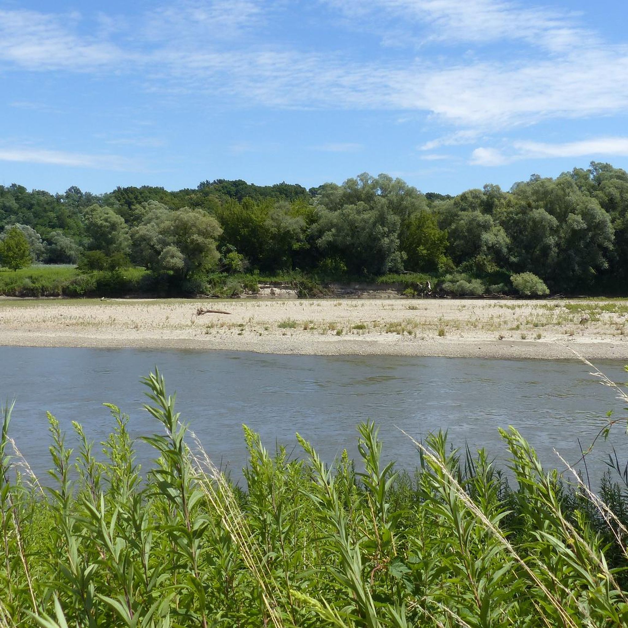
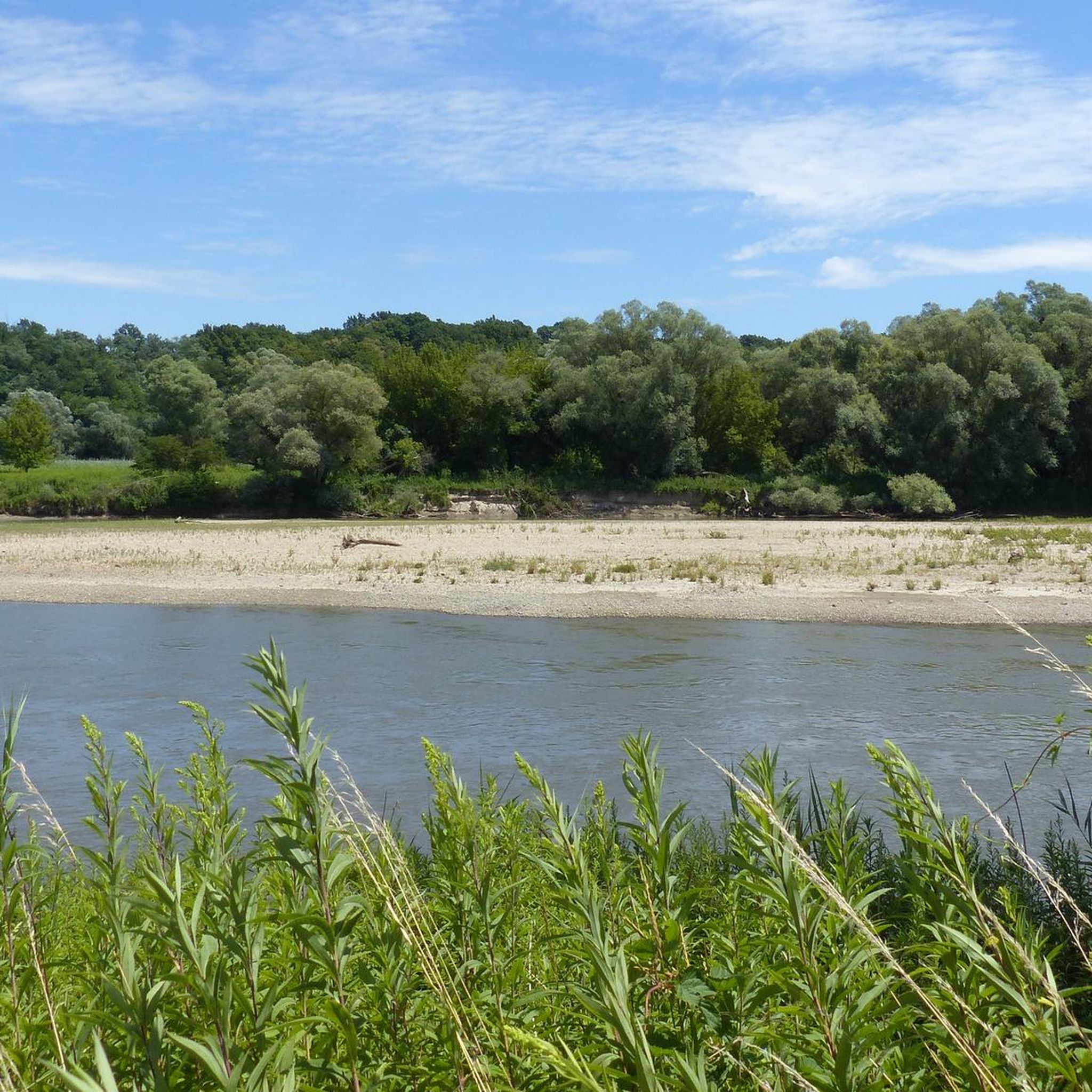
Hiking trails around Općina Drnje, located in Croatia's Koprivnica-Križevci County, feature diverse natural elements. The region is characterized by its tranquil riverine landscapes, with the Drava River forming its northern and northeastern boundary. Lowland areas along the Drava and the Gliboki Potok stream contribute to a generally gentle terrain. Lake Šoderica provides a recreational focal point, and elevations in the municipality typically range from 123 to 127 meters above sea level.
Best hiking trails around Općina Drnje
- The most popular…
Last updated: October 7, 2026
5.0
(1)
12
hikers
8.78km
02:23
130m
130m
Moderate hike. Good fitness required. Easily-accessible paths. Suitable for all skill levels.
4.5
(2)
5
hikers
23.3km
06:10
220m
220m
Hard hike. Very good fitness required. Easily-accessible paths. Suitable for all skill levels.

3
hikers
8.07km
02:02
10m
10m
Moderate hike. Good fitness required. Easily-accessible paths. Suitable for all skill levels.
3.5
(2)
3
hikers
11.4km
02:52
20m
20m
Moderate hike. Good fitness required. Easily-accessible paths. Suitable for all skill levels.
4
hikers
7.72km
01:57
10m
10m
Easy hike. Great for any fitness level. Easily-accessible paths. Suitable for all skill levels.
Get access to more routes and recommendations from other explorers.
Already have an account?
Our route recommendations are based on thousands of hikes, rides, and runs completed by other people on komoot.
Start today with a free account
Your next adventure awaits.

Tips from the Community

A good place to replenish food supplies
1
0
Annabell beautiful photo
2
1

Stankov vrh or Rajčevica is the highest peak of Bilogora at 309 m. At the top there are (slightly worn) benches, as well as a plaque and a box with a hiking stamp.
1
0
A very nice place to relax, rest, eat something... And the walk, although short, is very beautiful and interesting. Lots of mushrooms in autumn.
5
0
He would never remember that habit
2
0

Pleasant place in the shade of the forest - the highest peak of Bilogora
2
0
Frequently Asked Questions
What types of hiking trails can I find in Općina Drnje?
Općina Drnje offers a variety of hiking trails, ranging from easy walks to more challenging excursions. The terrain is generally gentle, especially along the Drava River and Gliboki Potok stream, with elevations typically between 123 and 127 meters above sea level. You'll find paths suitable for different fitness levels, including moderate loops and longer, more demanding routes.
Are there any easy hiking trails suitable for beginners in Općina Drnje?
Yes, Općina Drnje has several easy hiking options. For a leisurely walk with minimal elevation change, consider the Gyékényesi strand loop from Gyékényes. This moderate 11.4 km path offers scenic views, potentially around Lake Šoderica.
What is the typical duration for hikes in Općina Drnje?
Hiking durations in Općina Drnje vary depending on the trail length and difficulty. For example, a moderate route like the Planinarska kuća Rudi Jurić loop from Zvirišće (8.8 km) takes about 2 hours and 23 minutes. Longer, more difficult trails, such as the Stankov Vrh (309 m) loop from Koprivnica (23.2 km), can take over 6 hours.
Are there any circular hiking routes in Općina Drnje?
Yes, many of the trails in Općina Drnje are designed as loops, offering a convenient way to explore the area. Popular circular routes include the Planinarska kuća Rudi Jurić loop from Zvirišće and the Planinarska kuća Rudi Jurić loop from Rečke gorice. Another option is the Planinarska kuća Rudi Jurić loop from Crna gora, which is a longer moderate loop.
What natural features can I expect to see while hiking in Općina Drnje?
The region is defined by its riverine landscapes. You'll encounter the Drava River, which forms the northern and northeastern boundary, offering rich ecosystems. The Gliboki Potok stream also flows through the municipality, contributing to the local hydrology. Additionally, Lake Šoderica is a notable recreational area that may offer scenic views on nearby walks.
What do other hikers enjoy most about the trails in Općina Drnje?
The komoot community highly rates the trails in Općina Drnje, with an average score of 4.4 stars from 8 reviews. Hikers often praise the varied terrain and the opportunity to experience the natural beauty of the Koprivnica-Križevci region, from gentle riverine paths to more challenging ascents.
Can I spot any wildlife or unique flora along the hiking trails?
The Drava River area, which borders Općina Drnje, is known for its relatively untouched lowland river ecosystems. This environment supports diverse flora and fauna, offering opportunities for nature observation and wildlife spotting along its banks.
Are there any longer, more challenging hikes in the area?
For those seeking a more demanding experience, the Stankov Vrh (309 m) loop from Koprivnica is a difficult 23.2 km hike with significant elevation gain, estimated to take over 6 hours to complete.
What is the elevation range for hiking in Općina Drnje?
The terrain in Općina Drnje is generally gentle, with elevations typically ranging from approximately 123 to 127 meters above sea level. While some routes feature steady elevation gains, such as the Planinarska kuća Rudi Jurić loop from Zvirišće with 126 meters of ascent, many paths offer relatively flat walks.
Are there any hikes that start directly from Koprivnica?
Yes, there are hiking options accessible from Koprivnica. You can find routes like the Hiking loop from Koprivnica, which is a moderate 8 km trail, or the Interspar Supermarket loop from Koprivnica, a moderate 10.9 km route.

Get inspired with the komoot mobile app


Explore more
Browse the best Hikes in other regions.
