The best running trails in Vernooy Kill State Forest
3
runners
4
runs
Jogging in Vernooy Kill State Forest offers a diverse landscape for runners. The region is characterized by forested areas, including hemlock and thickets of Mountain Laurel, and features like the multi-stage Vernooy Kill Falls. The terrain varies from old logging roads with easy grades to more challenging sections with elevation gain, providing a range of running experiences. The presence of Balsam Swamp near the Greenville trailhead adds to the unique ecological features of the area.
Best jogging routes in Vernooy…
Last updated: July 7, 2026
10.7km
01:21
210m
210m
The Lippman Park Trail System loop offers a refreshing jogging experience through varied terrain, from pristine woodlands to hillside sections. You'll navigate flowing dirt trails and encounter unique man-made features…
11.6km
01:37
490m
490m
Jogging the difficult 7.2-mile Long Path and Mine Hole Trail to Napanoch Point offers expansive views within Minnewaska State Park Preserve.

Sign up for free
1
runners
5.32km
00:38
190m
190m
Jog the moderate 3.3-mile Long Path to Vernooy Kill Falls, featuring conifer forests, Balsam Swamp, and a picturesque 30-foot waterfall.
2
runners
9.69km
01:01
100m
100m
Moderate run. Good fitness required. Mostly paved surfaces. Suitable for all skill levels.
Our route recommendations are based on thousands of hikes, rides, and runs completed by other people on komoot.
Start today with a free account
Your next adventure awaits.
Login or Signup
Popular around Vernooy Kill State Forest
Tips from the Community

Lippman Park is home to a bunch of trails that were designed with mountain biking in mind. Foot traffic is still allowed on the trails, but it's probably best to step aside for all bikes regardless of the scenario since we are out in their territory. The singletrack trails are still fantastic for hiking and running, and there are a bunch of different loop options. The trails aren't super well-marked, though, so it's probably best to take your komoot map with you.
0
0
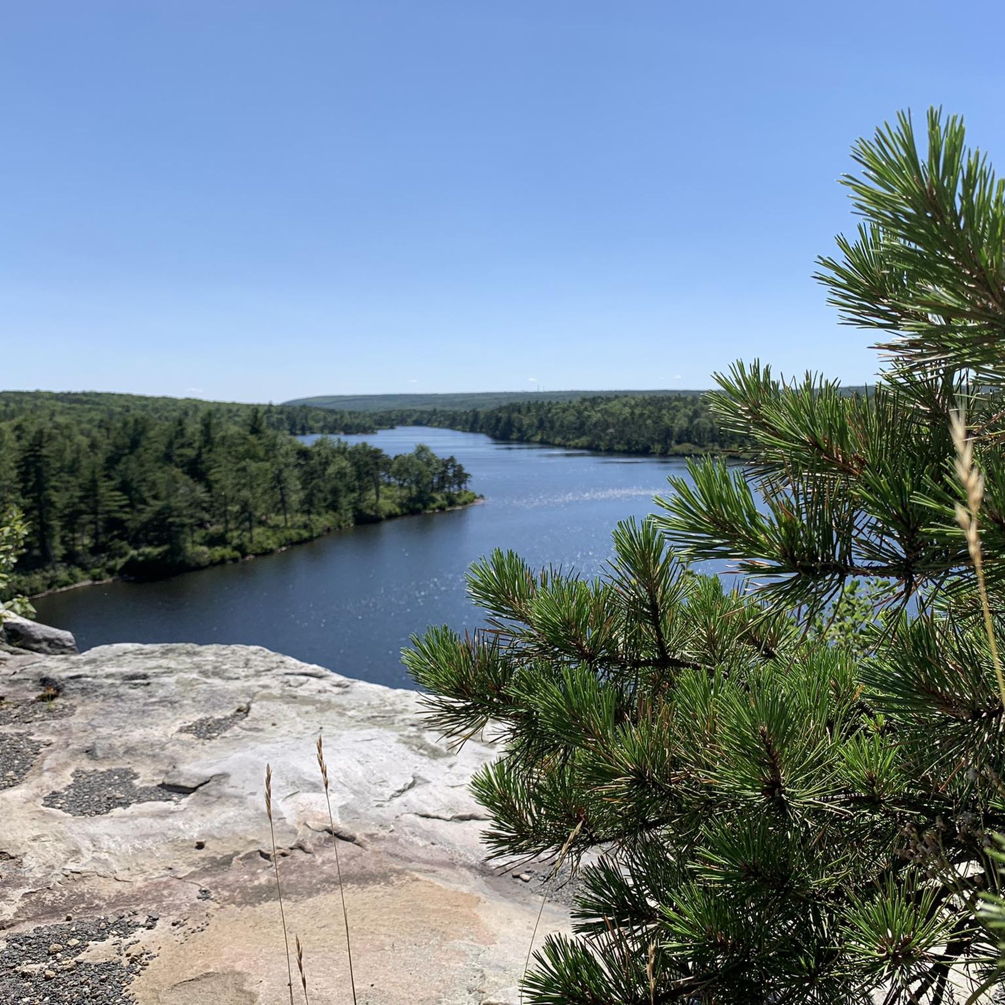
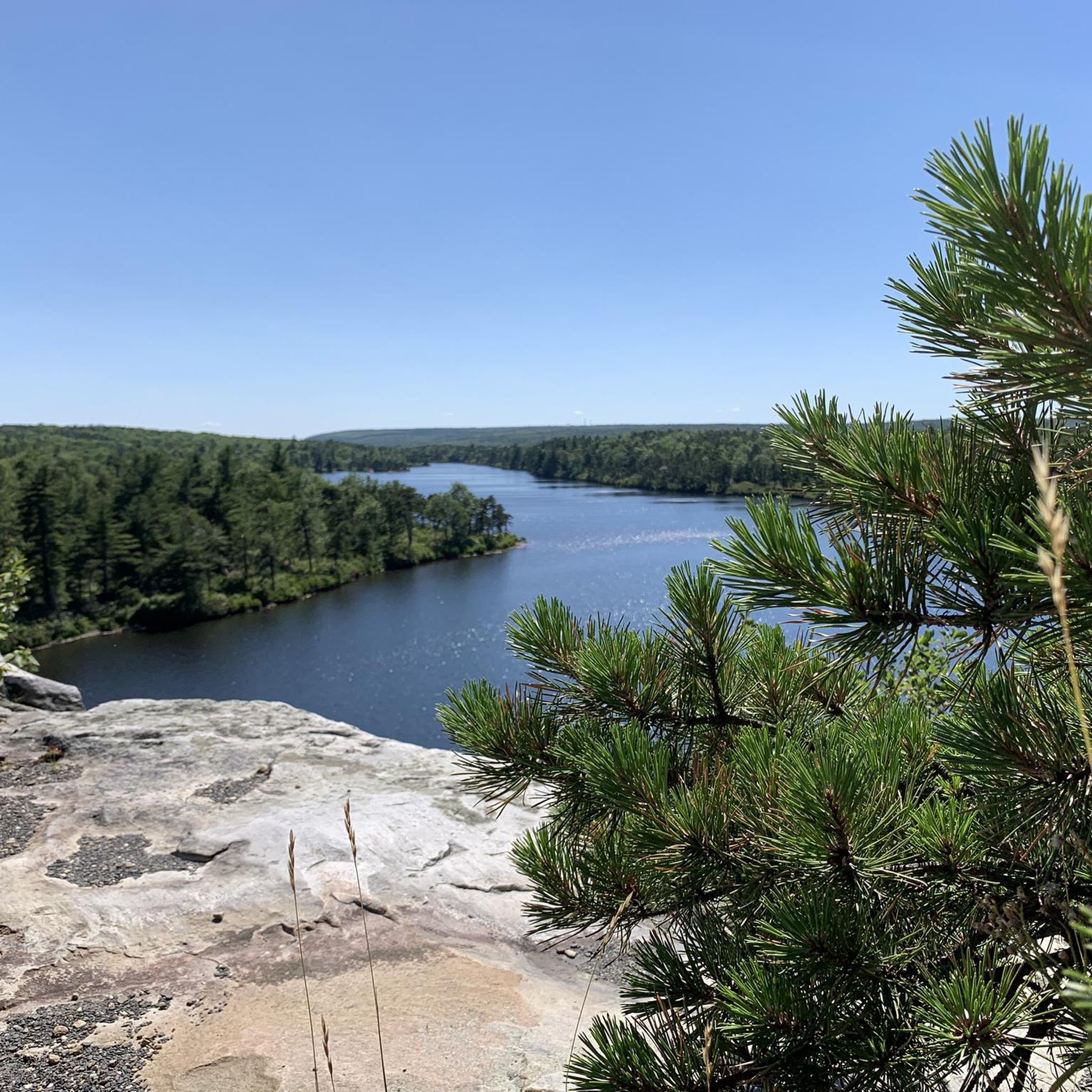
Napanoch Point is one of the best viewpoints in the entire Minnewaska State Park Preserve. It's situated up at 1,900 feet and offers views of the preserve along with the neighboring Witch Hole State Forest.
0
0
Napanoch Point is one of the best viewpoints in the entire Minnewaska State Park Preserve. It's situated up at 1,900 feet and offers views of the preserve along with the neighboring Witch Hole State Forest.
0
0

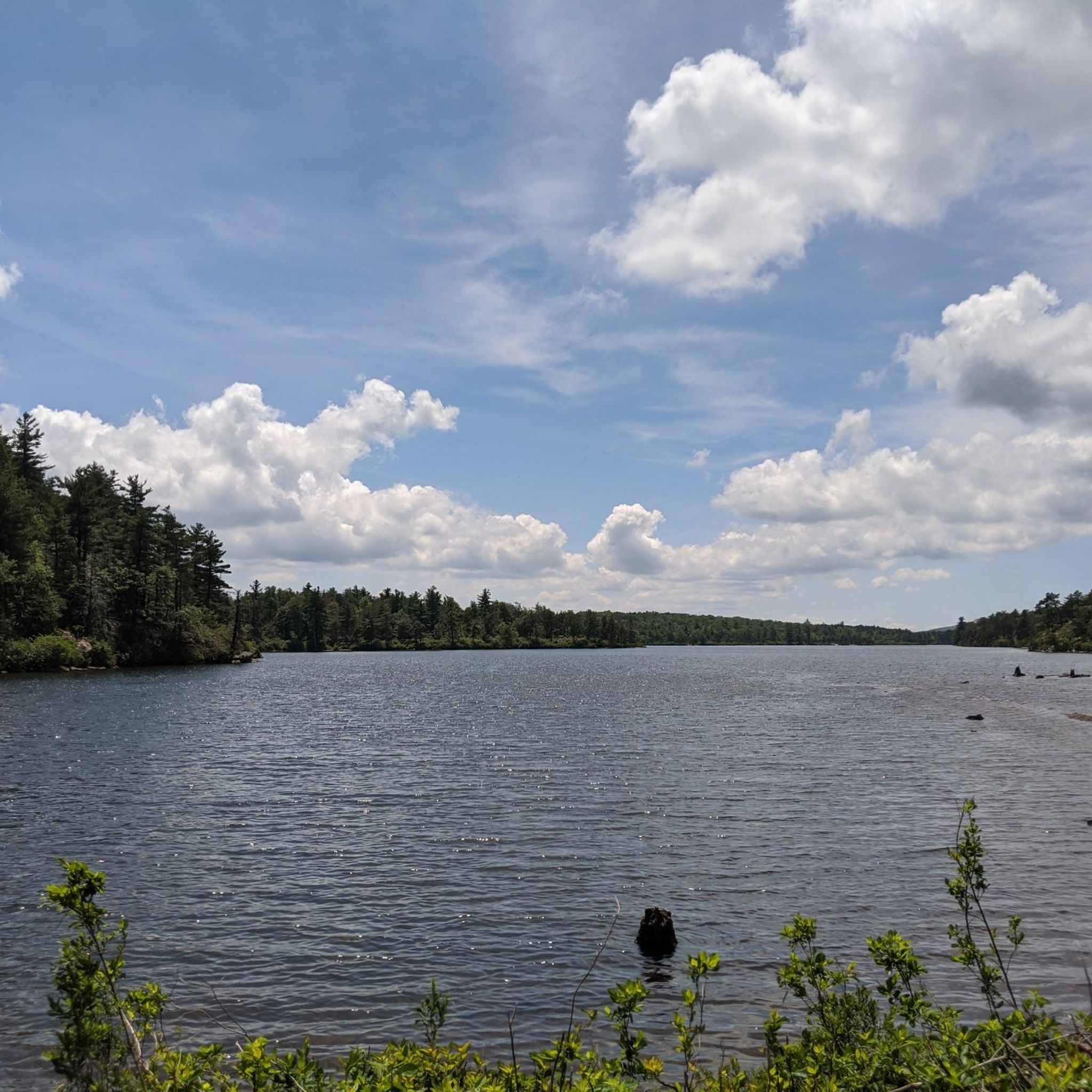
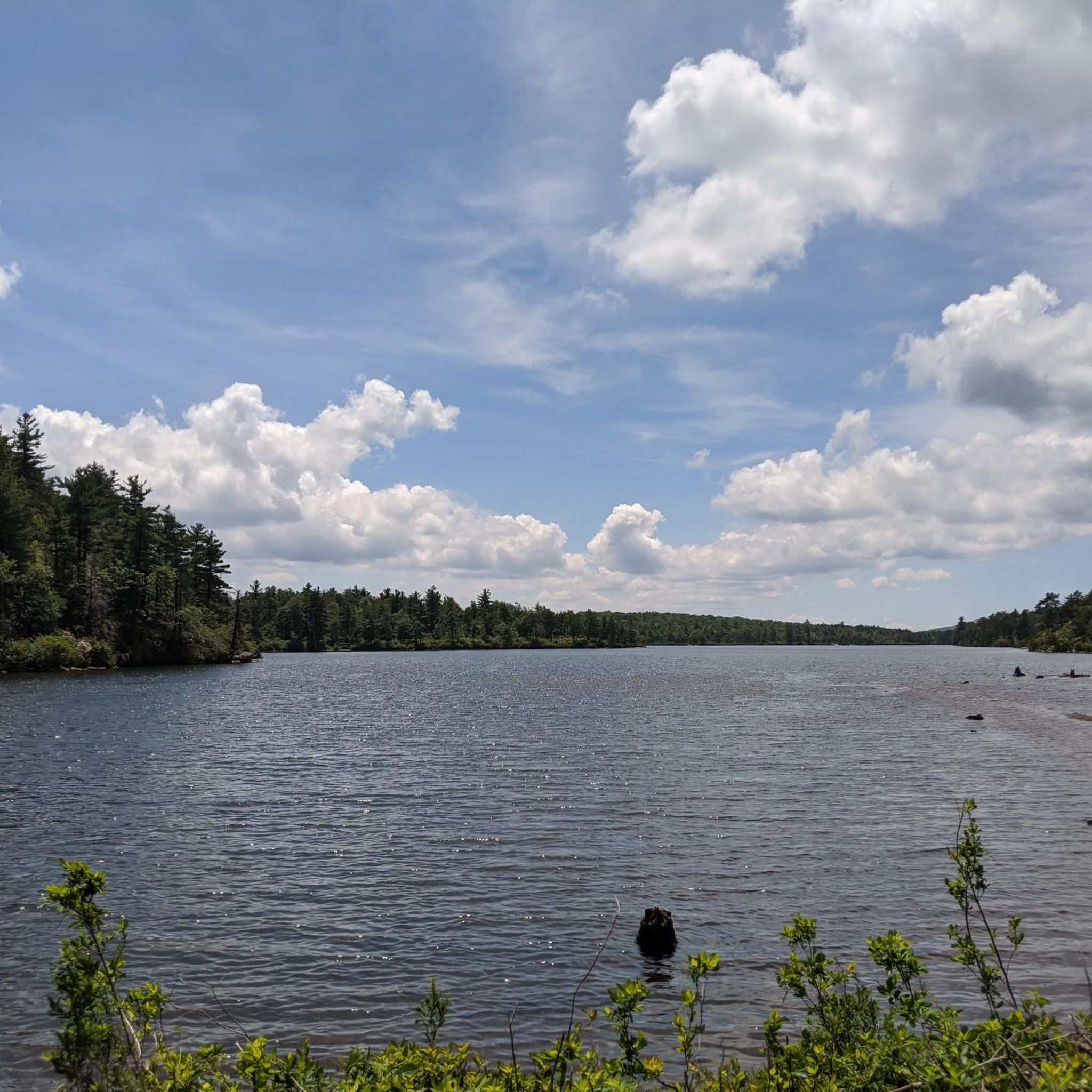
Lippman Park is a lovely setting to enjoy nature. The park is approximately 115 acres, with a small lake. There are also approximately 15 miles of single track mountain bike trails here, with varying levels of difficulty. The Renegades Mountain Bike Club have developed the trails.
1
0
Lippman Park is a lovely setting to enjoy nature. The park is approximately 115 acres, with a small lake. There are also approximately 15 miles of singletrack mountain bike trails here, with varying levels of difficulty. The Renegades Mountain Bike Club have developed the trails.
0
0

This four-stage waterfall is situated in the Sundown Wild Forest. It consists of several different falls that drop into pools, creating a relaxing environment with soothing sights and sounds. It's a great place to take off your shoes and soak your feet for a little bit.
0
0

This trail is part of the Lippman trail system where you will find rocky sections, bridges, jumps, and fast, winding singletrack.
0
0
Frequently Asked Questions
How many running routes are available in Vernooy Kill State Forest?
Vernooy Kill State Forest offers a selection of 4 dedicated running routes. These routes cater to various fitness levels, including 3 moderate and 1 difficult option, ensuring a suitable challenge for most runners.
Are there any easy or beginner-friendly jogging routes in Vernooy Kill State Forest?
While the guide primarily features moderate to difficult routes, the region research notes that the Long Path to Vernooy Kill Falls is a moderate 5.3 km trail that leads through forested areas. Additionally, the Flat Hill Trail, an old logging road mentioned in regional research, is known for its 'nice easy grade' and could be suitable for a comfortable jog, though it's not explicitly listed as an easy route in the provided data.
What natural features or landmarks can I expect to see while running in Vernooy Kill State Forest?
The forest is renowned for the picturesque Vernooy Kill Falls, a four-stage waterfall descending approximately 60 feet, which you can reach via routes like the Long Path to Vernooy Kill Falls. You'll also encounter Balsam Swamp, an extensive balsam fir-mountain laurel swamp, particularly near the Greenville trailhead. Historically, you might spot stone wall foundations from the 18th-century Vernooy Mill.
Are there any circular or loop running routes in the area?
Yes, the Lippman Park Trail System loop is a popular circular route, covering 10.7 km through varied forest paths. Another loop option is the Ulster Heights Lake loop from Ulster Heights Lake Dam, which is 9.7 km long.
What is the best time of year to go jogging in Vernooy Kill State Forest?
Vernooy Kill State Forest is open year-round. The trails are particularly beautiful when the Mountain Laurel is in bloom. During warmer months, be aware of the potential presence of Timber Rattlesnakes, especially near water sources. The varied terrain and shaded sections make it enjoyable across different seasons.
What are the parking options for accessing the running trails?
Accessible parking is generally available at trailheads. However, it's worth noting that some roads leading to these trailheads may require AWD or 4WD vehicles due to drainage ditches, especially after adverse weather conditions.
Is public transport available to reach Vernooy Kill State Forest?
The provided information does not specify public transport options for reaching Vernooy Kill State Forest. Access is typically by private vehicle, and some roads may require specific vehicle types (AWD/4WD) as mentioned for parking.
What kind of wildlife might I encounter on the running paths?
The forest supports a diverse array of wildlife, including various bird species such as warblers, thrushes, and sapsuckers, offering opportunities for birdwatching during your run. However, be mindful of Timber Rattlesnakes, particularly near water sources and if you venture off-trail during warmer months.
Are the running trails in Vernooy Kill State Forest suitable for families?
While specific 'family-friendly' designations are not provided, the region offers varied terrain. Trails with 'nice easy grades,' like sections of the Flat Hill Trail mentioned in regional research, could be suitable for families looking for a less strenuous outing. The Long Path to Vernooy Kill Falls is a moderate 5.3 km route that might be manageable for active families.
What do other runners enjoy most about jogging in Vernooy Kill State Forest?
Runners often praise the diverse landscape, which includes forested areas, the scenic Vernooy Kill Falls, and varied terrain. The network offers options for different ability levels, from moderate trails to more difficult routes with greater elevation, providing a rich environment for various running experiences. The trails are generally well-marked and often shaded, contributing to a pleasant experience.
Are there any challenging running routes for experienced runners?
Yes, for experienced runners seeking a challenge, the Long Path and Mine Hole Trail to Napanoch Point is a difficult 11.6 km path. This route includes significant elevation gain, offering expansive views and a demanding workout.
Most popular routes in Vernooy Kill State Forest

Get inspired with the komoot mobile app


Explore more
Browse the best Running Trails & Routes in other regions.
