The best running trails in Clarksburg State Forest
5.0
(2)
241
runners
49
runs
Jogging in Clarksburg State Forest offers routes through 368 acres of northern hardwood forest. The terrain features diverse foot trails, the 49-acre Mausert's Pond, and views of the Hoosac Range and Mount Greylock. This region provides a natural setting for running, with varied elevation changes across its paths.
Best jogging routes in Clarksburg State Forest
- The most popular jogging route is Mount Greylock – Mount Williams loop from Harriman-and-West Airport, a 12.9 miles (20.7 km) trail that takes 3…
Last updated: July 12, 2026
6
runners
20.7km
03:24
1,270m
1,270m
The Mount Greylock – Mount Williams loop from Harriman-and-West Airport is a truly demanding trail, offering an intense workout through the heart of the Berkshires. You'll navigate steep, rugged paths…
3
runners
Moderate run. Good fitness required. Mostly paved surfaces. Suitable for all skill levels.

Sign up for free
14
runners
9.59km
01:03
110m
110m
Moderate run. Good fitness required. Mostly paved surfaces. Suitable for all skill levels.
14
runners
17.5km
02:10
630m
630m
Hard run. Very good fitness required. Mostly paved surfaces. Suitable for all skill levels.
10
runners
7.50km
00:47
70m
70m
Moderate run. Good fitness required. Mostly paved surfaces. Suitable for all skill levels.
Get access to more routes and recommendations from other explorers.
Sign up for free
Already have an account?
Our route recommendations are based on thousands of hikes, rides, and runs completed by other people on komoot.
Start today with a free account
Your next adventure awaits.
Login or Signup

Other adventures in Clarksburg State Forest

Tips from the Community

Fitch Overlook is located on Notch Road at an elevation of 2,850 feet, just below Mount Fitch itself, at Mount Greylock State Reservation. It is not a large overlook by any means, but it has great views out over towards Mount Prospect and Stony Ledge.
1
0

The 1753 House stands as a faithful reproduction of a settler's home from 1753 in The Berkshires. Situated in Field Park at Williamstown's west end, it was built by volunteers in 1953 to commemorate the town's Bicentennial. Early settlers in the Hoosac Valley, including Williamstown and North Adams, were obligated by contract to construct a house of specific dimensions and clear a designated amount of land to secure their lot. You can see the house from the roadside.
0
0

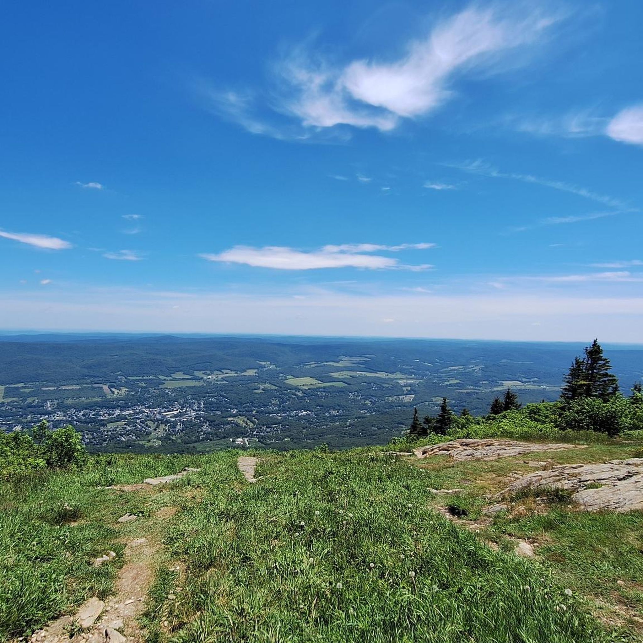
Mount Greylock is the tallest peak in Massachussets. On a clear day, you can see up to 90 miles in the distance. At the peak, there is a visitor center, restrooms and a scenic viewing area.
0
0
Frequently Asked Questions
How many running routes are available in Clarksburg State Forest?
Clarksburg State Forest offers over 45 running routes, catering to various preferences and fitness levels. These routes traverse 368 acres of northern hardwood forest, providing a diverse natural setting for your run.
Are there easy running routes suitable for beginners or families in Clarksburg State Forest?
Yes, Clarksburg State Forest has several easy running options. The Pond Loop Trail, a popular 3-mile (4.8 km) route around Mausert's Pond, is relatively easy and scenic, ideal for beginners or families. The Shoreline Trail also offers an easy excursion with beautiful water views through dense forestry.
Can I find challenging trails for experienced runners in Clarksburg State Forest?
Absolutely. For experienced runners seeking a challenge, routes like the Mount Greylock – Mount Williams loop from Harriman-and-West Airport offer significant elevation gain over 12.9 miles (20.7 km). Another difficult option is the Fitch Overlook – Mount Greylock loop from Mount Williams, spanning 17.4 km with substantial climbs.
What kind of scenery can I expect while jogging in Clarksburg State Forest?
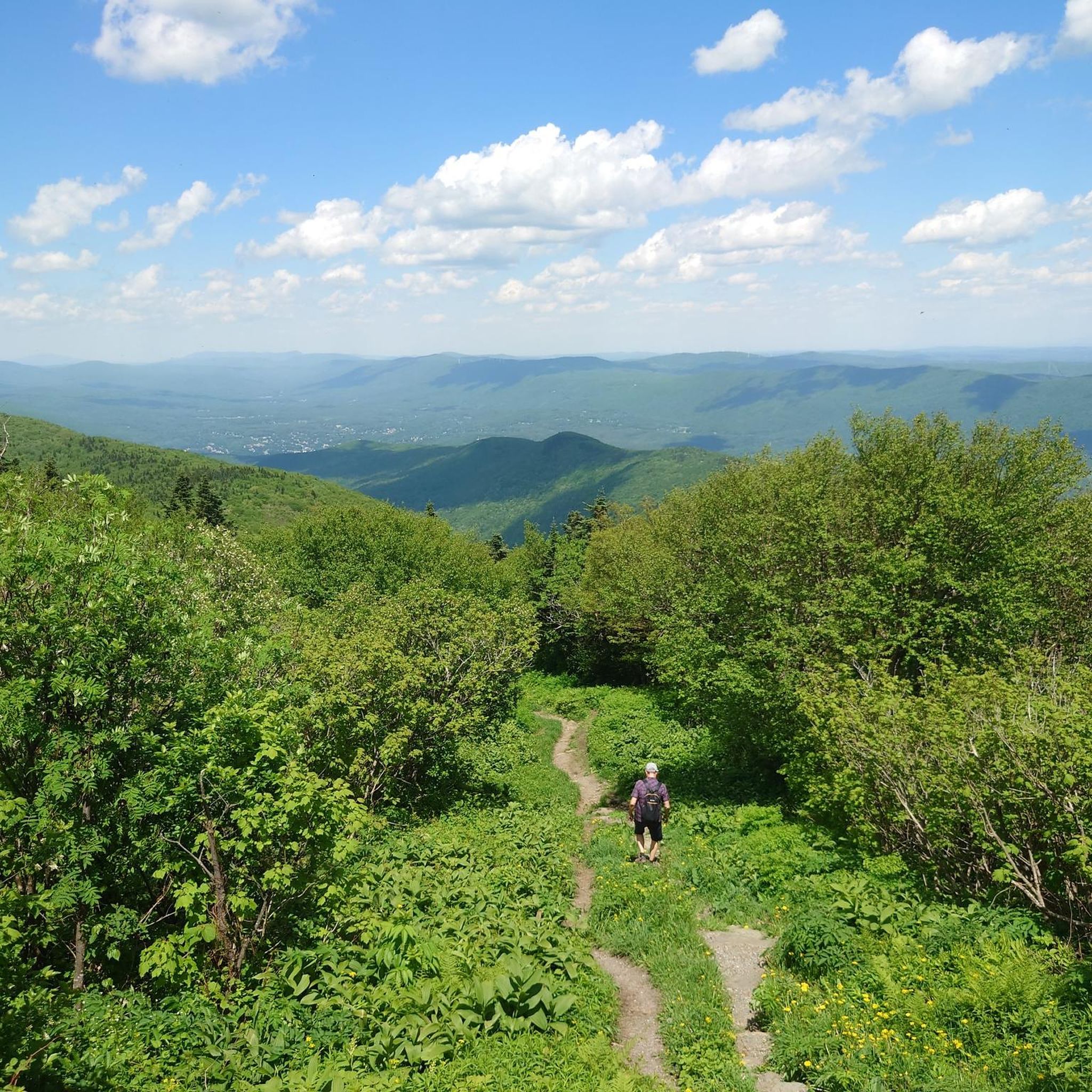
Runners in Clarksburg State Forest can enjoy diverse scenery, including unspoiled northern hardwood forests, serene views of the 49-acre Mausert's Pond, and breathtaking vistas of the Hoosac Range, Mount Greylock, and the Green Mountains of Vermont. The trails also meander through wetland habitats and offer opportunities to observe wildlife.
Is Clarksburg State Forest dog-friendly for runners?
While the region research indicates that Clarksburg State Park is generally welcoming to outdoor activities, specific dog rules for running on trails are not detailed. It's always best to check official park regulations regarding pets before heading out, to ensure a pleasant experience for everyone.
Are there facilities like parking or restrooms available for runners?
Yes, Clarksburg State Park offers amenities for visitors. There are picnic areas, including a landscaped day-use area, and 46 well-spaced campsites near Mausert's Pond, which are equipped with restrooms and showers. Parking is generally available at designated areas within the park, making it convenient for runners.
What wildlife might I encounter on the trails?
The trails in Clarksburg State Forest offer opportunities to observe a variety of wildlife. Lucky visitors might catch a glimpse of a moose or an otter. The park is also appealing to birdwatchers, with the Pond Loop Trail being particularly popular for bird sightings.
Is it possible to run in Clarksburg State Forest during winter?
Yes, Clarksburg State Forest can be enjoyed year-round. While excellent for jogging in warmer months, the trails transform into a snowy wonderland in winter. They are suitable for activities like cross-country skiing and snowshoeing, and some paths may still be accessible for winter running, depending on snow conditions.
Are there any specific trails that offer water views?
Yes, Mausert's Pond is a central feature of the park, and several trails offer beautiful water views. The Pond Loop Trail encircles the pond, providing serene vistas, and the Shoreline Trail also meanders along the pond, offering picturesque water scenery.
What do other runners say about the trails in Clarksburg State Forest?
The running routes in Clarksburg State Forest are highly rated by the komoot community, with an average score of 5.0 stars from a few reviews. Over 180 runners have used komoot to explore the varied terrain, often praising the natural beauty and diverse options available.
Are there any nearby attractions or points of interest to explore after a run?
After your run, you can enjoy the park's amenities such as picnicking in designated areas. Mausert's Pond also allows for swimming in designated areas, fishing, canoeing, and kayaking with non-motorized boats. For those wishing to extend their stay, there are campsites available.
How long does it typically take to complete a running route in the forest?
The duration varies significantly by route and your pace. For example, a moderate route like the Mount Williams Reservoir – Williamstown Reservoir loop from Harriman-and-West Airport, which is 7.9 miles (12.7 km), typically takes about 1 hour 22 minutes. A shorter, moderate route like the Running loop from Williams College (6.0 miles / 9.6 km) can be completed in about 1 hour 3 minutes.
Are there any trails suitable for birdwatching while running?
Yes, the Pond Loop Trail around Mausert's Pond is particularly popular with birdwatchers. Its scenic path and proximity to the water make it an excellent choice for those who enjoy spotting birds while jogging.
Most popular routes in Clarksburg State Forest

Get inspired with the komoot mobile app


Explore more
Browse the best Running Trails & Routes in other regions.
