The best walks and hikes around Glött
4.5
(8)
64
hikers
18
hikes
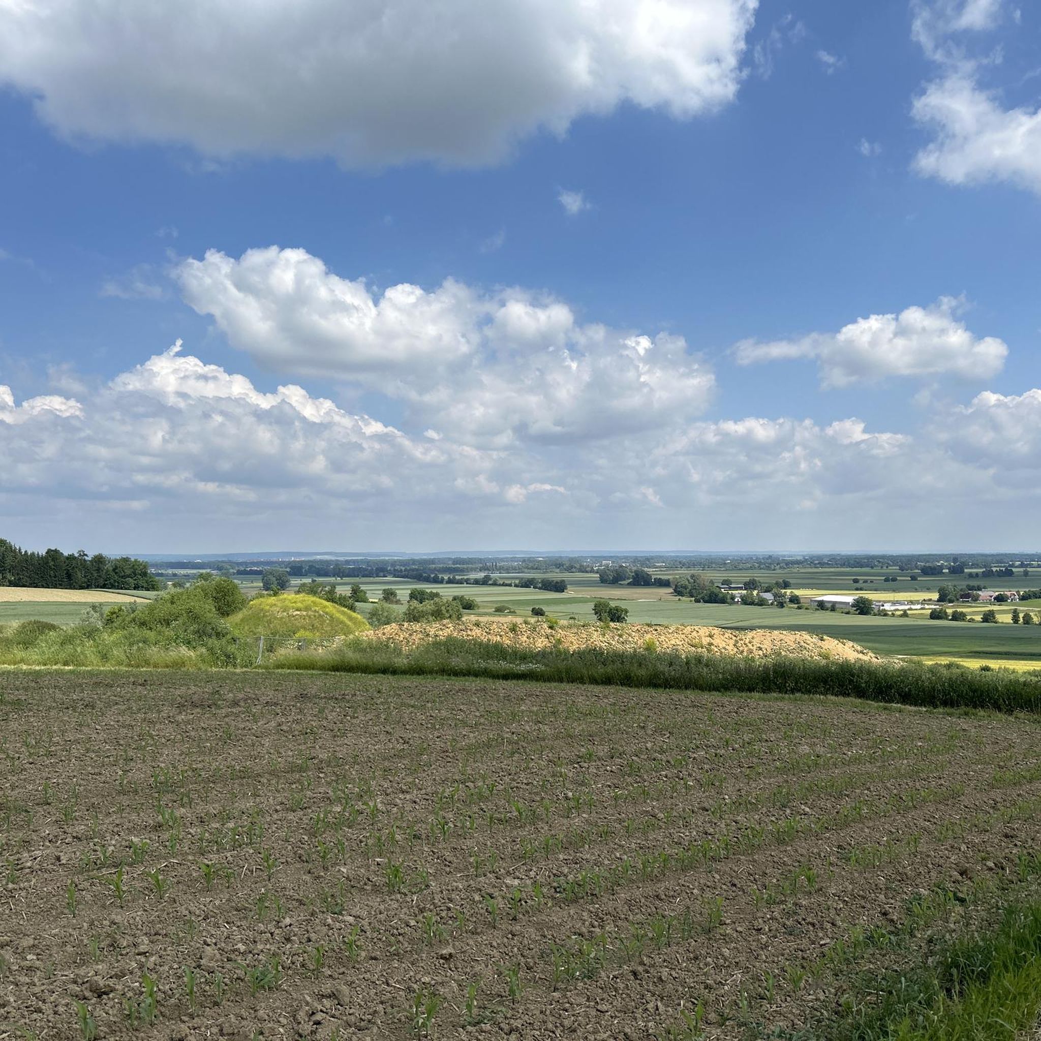
Hiking around Glött, a municipality in Bavaria, Germany, offers routes through a landscape characterized by picturesque hills and forests. The Glött river, which flows into the Danube, is a prominent natural feature in the area. The region provides opportunities for outdoor activities, with trails traversing typical Bavarian scenery. Elevation gains on these routes are generally moderate, reflecting the rolling terrain.
Best hiking trails around Glött
- The most popular hiking route is Spechthütte Picnic Area – Himmelreich loop from Altenbaindt,…
Last updated: October 5, 2026
4.7
(3)
6
hikers
7.68km
02:03
90m
90m
Moderate hike. Good fitness required. Easily-accessible paths. Suitable for all skill levels.
5.0
(1)
10
hikers
8.19km
02:10
80m
80m
Moderate hike. Good fitness required. Easily-accessible paths. Suitable for all skill levels.

5.0
(1)
3
hikers
7.42km
01:58
70m
70m
Easy hike. Great for any fitness level. Easily-accessible paths. Suitable for all skill levels.
5
hikers
4.43km
01:12
60m
60m
Easy hike. Great for any fitness level. Easily-accessible paths. Suitable for all skill levels.
3
hikers
7.31km
01:59
100m
100m
Easy hike. Great for any fitness level. Easily-accessible paths. Suitable for all skill levels.
Get access to more routes and recommendations from other explorers.
Already have an account?
Our route recommendations are based on thousands of hikes, rides, and runs completed by other people on komoot.
Start today with a free account
Your next adventure awaits.
Tips from the Community

Lots of squirrels here, just sit and watch. Bring a few nuts, they'll be happy.
0
0

super nice place to take a break. Greetings Marcus
1
0
Very nice place to take a break. Greetings Marcus
2
0

A forest area with a path along beautiful meadow valleys.
1
0


A nice place to have a snack - with a frog concert in the pond next door.
2
0

a quiet and peaceful place with lots of water and shade to relax.
3
0

Small chapel in an idyllic grove. Known for the spring water.
4
0
Frequently Asked Questions
What is the general difficulty level of hiking trails around Glött?
The hiking trails in Glött are predominantly easy to moderate. Out of 19 available routes, 15 are classified as easy and 4 as moderate, making the area accessible for a wide range of hikers. There are no difficult trails listed.
Are there any circular hiking routes in Glött?
Yes, many routes around Glött are circular. For example, the Spechthütte Picnic Area – Himmelreich loop from Altenbaindt is a moderate 7.7 km circular trail. Another option is the easy Glött Meeting Place – Wind Turbine in Glött loop from Glött, which covers 4.4 km.
What kind of natural features can I expect to see on hikes in Glött?
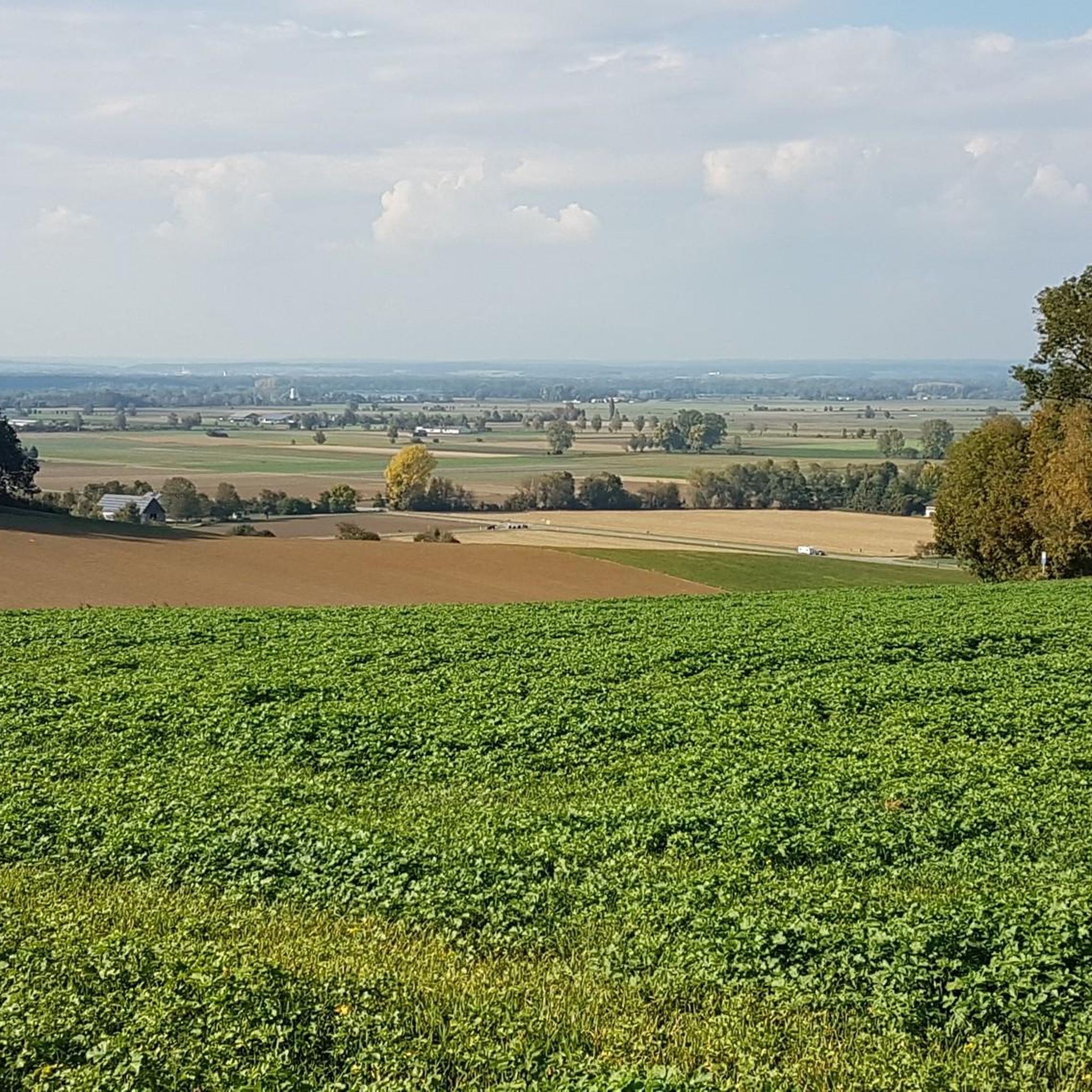
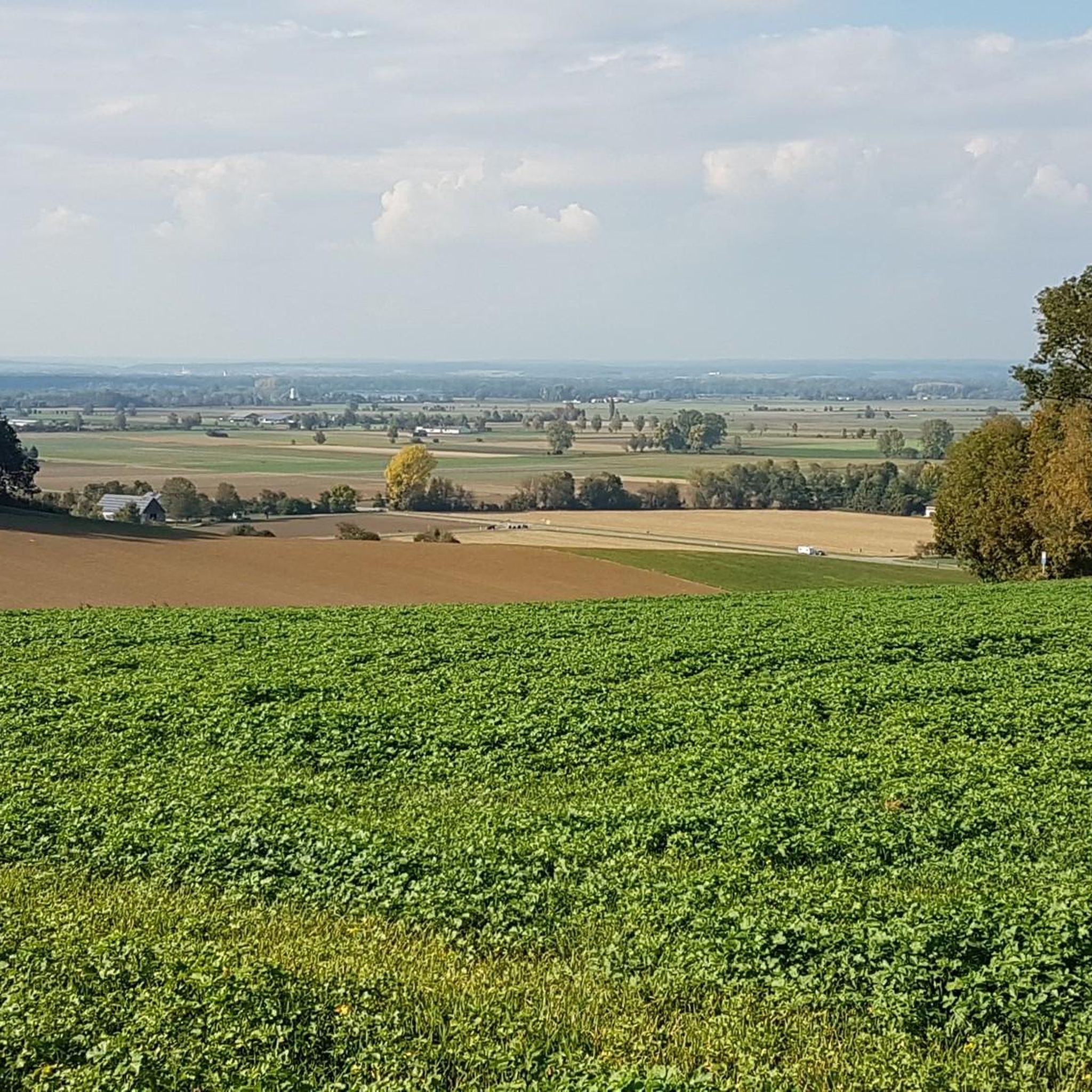
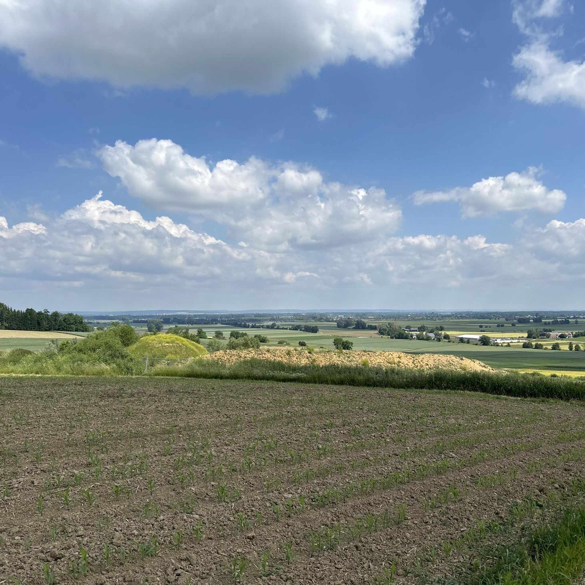
Hikes around Glött typically traverse picturesque hills and forests, characteristic of the Bavarian landscape. The Glött river is also a prominent natural feature in the area, flowing into the Danube nearby. You'll find a mix of woodlands and open fields.
Are there any historical landmarks or points of interest along the trails?
Yes, several routes pass by interesting landmarks. The Cemetery in Glött – Frauenbrunn Chapel loop from Glött explores the local area, passing by the historic Frauenbrunn Chapel. Another route, the Wind Turbine in Glött – Frauenbrunn Chapel loop from Glött, also leads past local landmarks.
What do other hikers say about the trails in Glött?
The komoot community rates the routes in Glött highly, with an average score of 4.5 stars from over 7 reviews. Hikers often appreciate the varied terrain, from woodlands to open fields, and the well-maintained paths suitable for different fitness levels.
Are there family-friendly hiking options in Glött?
Yes, with 15 easy routes available, Glött offers several family-friendly hiking options. Trails like the Himmelreich – Wooden Rabbit Sculpture loop from Glött, an easy 7.3 km path, are suitable for families looking for a pleasant outdoor experience without significant elevation challenges.
What is the best time of year to go hiking in Glött?
The region around Glött, like much of Bavaria, is enjoyable for hiking during spring, summer, and autumn when the weather is mild and the scenery is vibrant. While specific winter hiking conditions aren't detailed, the generally moderate terrain suggests that some trails might be accessible in milder winter conditions, though always check local conditions.
Are there any castles or historical sites to visit near Glött?
Yes, the broader region around Glött is home to several castles. Notable examples include Dillingen Castle, Rosenschloss Gundelfingen, and Burgau Castle. These historical sites offer additional exploration opportunities beyond the hiking trails.
Where can I find huts or shelters along the hiking routes?
While specific huts directly on every trail are not detailed, the area around Glött does feature several huts and cabins. You might encounter places like the Sternhütte and Vopelius Star in Weisinger Forest or the Tannenhütte in the wider region, which can serve as resting points.
What are the typical distances and durations for hikes in Glött?
Hikes in Glött vary in length, with many routes falling into the 4 to 8 km range. For instance, the Spechthütte Picnic Area – Himmelreich loop from Altenbaindt is 7.7 km and takes about 2 hours. Shorter options like the Glött Meeting Place – Wind Turbine in Glött loop from Glött are around 4.4 km and can be completed in about 1 hour 10 minutes.
Is Glött Castle accessible to visitors?
Glött Castle is a significant historical attraction within the municipality of Glött. For specific visitor information, such as opening hours or tour availability, it is recommended to check local tourism resources or the castle's official website.
Most popular attractions around Glött

Get inspired with the komoot mobile app


Explore more
Browse the best Hikes in other regions.
