The best walks and hikes in Herberton Range State Forest
4.5
(10)
78
hikers
5
hikes
Hiking in Herberton Range State Forest offers a diverse landscape, transitioning from drier open forests on lower slopes to high-altitude rainforests near the peaks. This area includes parts of the Wet Tropics World Heritage Area, protecting a range of ecosystems. Peaks like Mount Baldy (1109m) and Yabi Mountain (1055m) provide expansive views across the Atherton Tableland. The terrain features wet sclerophyll forest, rainforest, rocky ridgelines, and streams with waterfalls.
Best hiking trails in Herberton Range State Forest
- The most popular…
Last updated: July 10, 2026
5.0
(1)
16
hikers
5.89km
01:56
270m
270m
Easy hike. Great for any fitness level. Easily-accessible paths. Suitable for all skill levels.
4.1
(7)
39
hikers
7.45km
02:29
350m
350m
Moderate hike. Good fitness required. Easily-accessible paths. Suitable for all skill levels.

Sign up for free
14
hikers
4.65km
01:45
310m
310m
Moderate hike. Good fitness required. Easily-accessible paths. Suitable for all skill levels.
4.0
(1)
5
hikers
5.73km
01:44
180m
180m
Easy hike. Great for any fitness level. Easily-accessible paths. Suitable for all skill levels.
5.0
(1)
4
hikers
12.8km
04:01
490m
490m
Moderate hike. Good fitness required. Easily-accessible paths. Suitable for all skill levels.
Our route recommendations are based on thousands of hikes, rides, and runs completed by other people on komoot.
Start today with a free account
Your next adventure awaits.
Login or Signup
Popular around Herberton Range State Forest
Tips from the Community

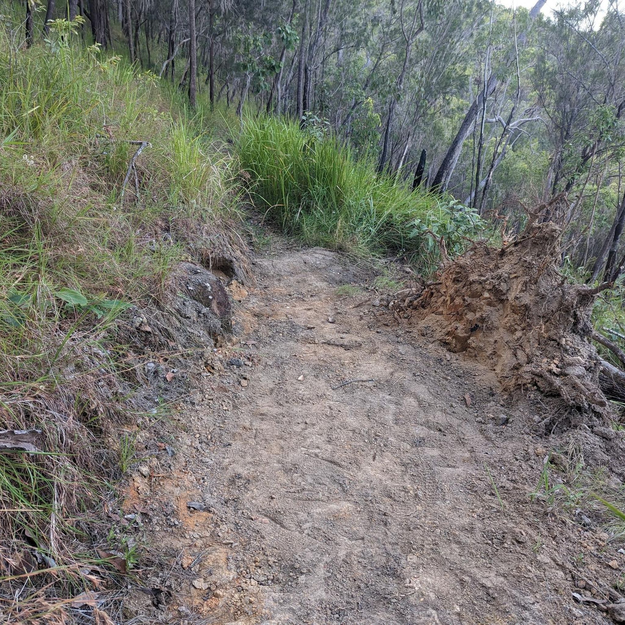
This trailhead is the main access point for walks to Mount Baldy, Yabi Mountain, and the full circuit in the Herberton Range State Forest. There is information signage with route options to help walkers choose between shorter summit hikes or the full circuit, and parking areas right next to the trailhead off Rifle Range Road.
0
0
Baldy–Yabi Circuit Walk is a relatively challenging loop that runs just over 8 kilometres in the Herberton Range, connecting the summits of Mount Baldy and Yabi Mountain through wet sclerophyll forest, rainforest, and along rocky ridgelines. Steep climbs, loose rock, and changing terrain can make it a strenuous trek, but the reward for your efforts is sweeping views across the Atherton Tablelands and Lake Tinaroo. The route is popular for its variety of landscapes, combining exposed lookout points with cooler, shaded forest sections on the way down.
0
0
Yabi Mountain Lookout sits on the 1,055-metre summit of Yabi Mountain, with fantastic elevated views across the Atherton Tablelands, surrounding forested ranges, and Lake Tinaroo in the distance. Reached via the Baldy–Yabi Circuit or a shorter return walk, this lookout is slightly less steep to access than nearby Mount Baldy while still providing breathtaking scenery, especially in clear weather.
0
0
Frequently Asked Questions
How many hiking trails are available in Herberton Range State Forest?
There are 5 curated hiking routes in Herberton Range State Forest, ranging from easy to moderate difficulty. These include scenic loops and challenging summit ascents.
Are there any easy hiking trails suitable for beginners or families?
Yes, there are a couple of easy trails. The Yabi Mountain Lookout via Baldy-Yabi Circuit Walk is an easy 5.9 km route, and the Mount Ida loop from Herberton is another easy option at 5.7 km, offering a more gentle experience through the landscape.
What kind of views can I expect on the hikes in Herberton Range State Forest?
Hikers can enjoy expansive eastern views across the Atherton Tableland and Lake Tinaroo, especially from peaks like Mount Baldy and Yabi Mountain. The Yabi Mountain Lookout is a particularly rewarding spot for panoramic vistas.
Are there any waterfalls or significant natural features to see?
Yes, the area features picturesque streams and waterfalls. Halls Falls, though not on a specific komoot route listed here, is a notable natural feature where streams cascade over polished granite. You can also find The Waterfall Trail Feature within the region.
Are there any circular hiking routes in Herberton Range State Forest?
Yes, several routes are circular, allowing you to start and end at the same point. Examples include the moderate Mount Baldy Summit Signpost – Dry Creek Bed Crossing loop from Atherton (7.4 km) and the easy Mount Ida loop from Herberton (5.7 km).
What is the most challenging hike in the area?
The Saint Patrick Hill – Stewart Head loop from Herberton is the longest and most challenging moderate route listed, covering 12.8 km with nearly 500 meters of elevation gain. The Baldy-Yabi Circuit, while listed as easy on komoot, is described in regional research as a challenging 8.4 km loop with strenuous sections and loose rock.
What do other hikers say about the trails in Herberton Range State Forest?
The area is highly rated by the komoot community, with an average score of 4.5 stars from 10 visitors. Hikers often praise the diverse ecosystems, ranging from open forests to high-altitude rainforests, and the rewarding panoramic views from the peaks.
Are there specific landmarks or points of interest along the trails?
Beyond the stunning natural landscapes, you can find points of interest like the Baldy–Yabi Circuit Walk itself, which is a significant trail feature, and the Yabi Mountain Lookout. The region also borders the Atherton Forest Mountain Bike Park, with trailheads like Atherton Forest Mountain Bike Park Trailhead nearby.
What kind of terrain can I expect on the hikes?
The terrain is quite varied, transitioning from drier open forests on lower slopes to high-altitude rainforests and wet sclerophyll forest near the peaks. Some trails, particularly those ascending Mount Baldy and Yabi Mountain, feature rocky ridgelines, steep sections, and loose rock, requiring careful footing.
Is there parking available at the trailheads?
While specific parking details for each trailhead are not provided, the Baldy–Yabi Circuit Trailhead is noted as a primary access point for walks to the peaks and the full circuit, suggesting parking facilities are available there for hikers.
What is the best time of year to go hiking in Herberton Range State Forest?
The region experiences a tropical climate. Generally, the dry season (typically May to October) offers more comfortable hiking conditions with less humidity and lower chances of rain, making it ideal for exploring the trails and enjoying the expansive views.
Most popular routes in Herberton Range State Forest
Most popular attractions in Herberton Range State Forest

Get inspired with the komoot mobile app


Explore more
Browse the best Hikes in other regions.
